|
Corn Hill, Longford
Corn Hill, also called Cairn Hill or Carn Clonhugh ( ga, Carn Clainne Aodha or '), is a hill in County Longford, Republic of Ireland. It lies north of Longford, between Drumlish and Ballinalee, in the parish of Killoe. At 278 metres above sea level, it is the highest hill in the county and has a television mast (Cairn Hill transmission site) on the top which rises 123 metres above the peak of the hill. Etymology The name ''Carn Clonhugh'' is an anglicization of the Irish ''Carn Clainne Aodha'', meaning "cairn of Clann Aodha" (anglicised "Clanhugh"). Clanhugh was a historic territory in the northwest of County Longford. The earliest cartographic reference to the hill is found in the 1837–1842 Ordnance Survey Ireland 6 Inch map, which can be seen on the Ordnance Survey Ireland website. In cartography, the hill was referred to as Carn Clonhugh, but by the time of the 2nd edition 1887–1913 Ordnance Survey Ireland 25 Inch map, that was replaced with Corn (a corruption o ... [...More Info...] [...Related Items...] OR: [Wikipedia] [Google] [Baidu] |
Ordnance Survey Ireland
Ordnance Survey Ireland (OSI; ga, Suirbhéireacht Ordanáis Éireann) is the national mapping agency of Ireland. It was established on 4 March 2002 as a body corporate. It is the successor to the former Ordnance Survey of Ireland. It and the Ordnance Survey of Northern Ireland (OSNI) are the ultimate successors to the Irish operations of the British Ordnance Survey. OSI is part of the Irish public service. OSI has made modern and historic maps of the state free to view on its website. OSI is headquartered at Mountjoy House in the Phoenix Park in Dublin. Mountjoy House was also the headquarters, until 1922, of the Irish section of the British Ordnance Survey. Organisation Under the Ordnance Survey Ireland Act 2001, the Ordnance Survey of Ireland was dissolved and a new corporate body called Ordnance Survey Ireland was established in its place. OSI is now an autonomous corporate body, with a remit to cover its costs of operation from its sales of data and derived products, wh ... [...More Info...] [...Related Items...] OR: [Wikipedia] [Google] [Baidu] |
Sliabh Ban
Slieve Bawn or Sliabh Bághna (meaning "Mountain of Bághna", ancient Firbolg chieftain) is a Hill in County Roscommon, Ireland. It lies between Strokestown (to the northwest) and Ballyleague (to the southeast). It is the third-highest point in the county, after Kilronan Mountain and Seltannasaggart. Archaeology The 1837 Ordnance Survey Ireland 6" map shows no indication of any archaeological features atop the hill, but in 1950, when the Holy Year Cross was raised on the hilltop, skeletal remains were uncovered. This suggests that a passage grave once sat atop the hill. Passage graves are usually cairn A cairn is a man-made pile (or stack) of stones raised for a purpose, usually as a marker or as a burial mound. The word ''cairn'' comes from the gd, càrn (plural ). Cairns have been and are used for a broad variety of purposes. In prehis ...s containing a passage leading to a central corbelled-roofed chamber, which is sometimes a cruciform shape. Passage graves are ... [...More Info...] [...Related Items...] OR: [Wikipedia] [Google] [Baidu] |
Lists Of Mountains In Ireland
In these lists of mountains in Ireland, those within Northern Ireland, or on the Republic of Ireland – United Kingdom border, are marked with an asterisk, while the rest are within the Republic of Ireland. Where mountains are ranked by height, the definition of the topographical prominence used to classify the mountain (e.g. the change in elevation required between neighbouring mountains), is noted. In British definitions, a height of is required for a mountain, whereas in Ireland, a lower threshold of is sometimes advocated. The lowest minimum prominence threshold of any definition of an Irish mountain is (e.g. the Vandeleur-Lynam), however most definitions, including the International Climbing and Mountaineering Federation (UIAA) criteria, do not consider prominences below as being mountains (e.g. must at least be an Arderin or a Hewitt). Many British definitions consider a peak with a prominence below , as being a ''top'', and not a mountain (e.g. must be a Marilyn ... [...More Info...] [...Related Items...] OR: [Wikipedia] [Google] [Baidu] |
Carrowkeel Megalithic Cemetery
Carrowkeel is a cluster of passage tombs in south County Sligo, Ireland. They were built in the 4th millennium BC, during the Neolithic era. The monuments are on the Bricklieve Hills (''An Bricshliabh'', 'the speckled hills'), overlooking Lough Arrow, and are sometimes called the Bricklieve tombs. They are named after the townland of Carrowkeel in which most of them are located. Nearby are the Caves of Kesh and Heapstown Cairn. The Carrowkeel tombs are protected National Monuments and are considered one of the "big four" passage tomb cemeteries in Ireland, along with Carrowmore, Brú na Bóinne and Loughcrew. History and research The monuments at Carrowkeel were originally excavated in 1911 by a team led by R.A.S. Macalister, accompanied by Robert Lloyd Praeger and Edmund Clarence Richard Armstrong. These excavations led to an array of findings including animal bones, cremated human remains, human bones, and tools and pottery from the Neolithic Age. The particular type of cr ... [...More Info...] [...Related Items...] OR: [Wikipedia] [Google] [Baidu] |
Passage Grave
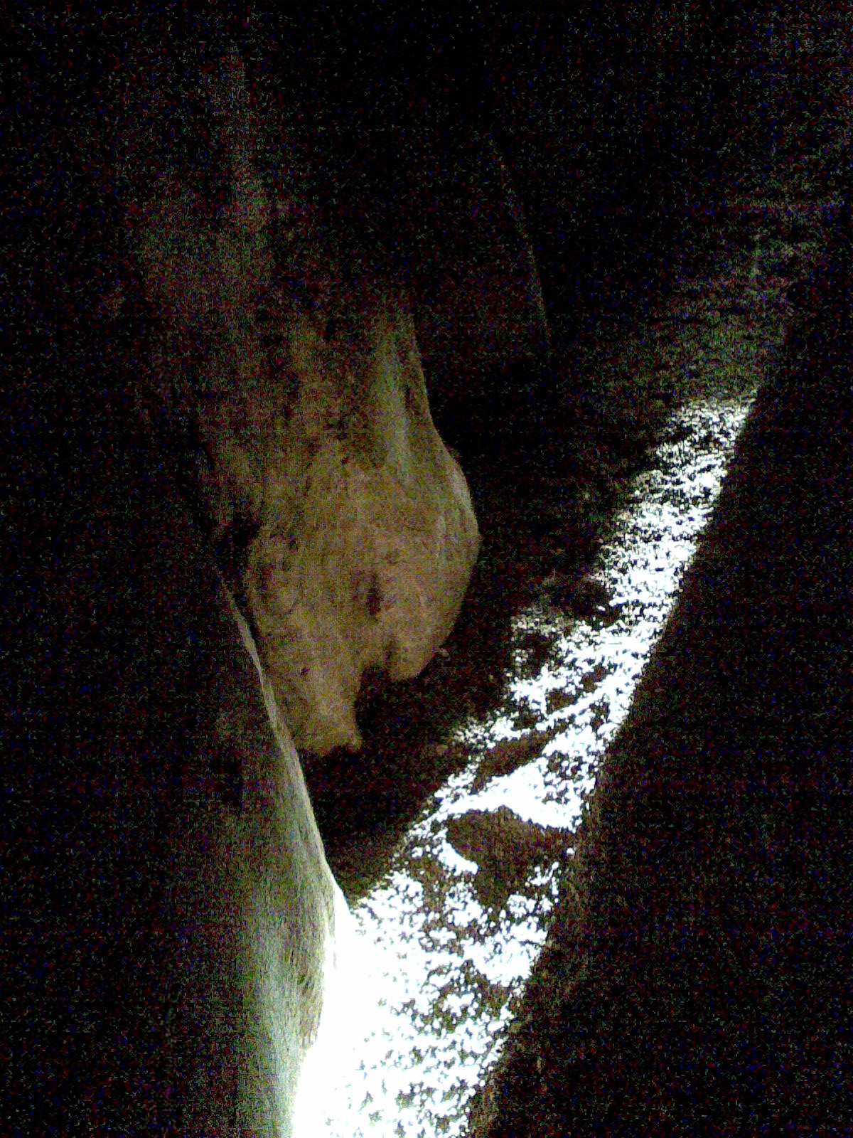
A passage grave or passage tomb consists of one or more burial chambers covered in earth or with stone, and having a narrow access passage made of large stones. These structures usually date from the Neolithic Age, and are found largely in Western Europe. When covered in earth, a passage grave is a type of burial mound which are found in various forms all over the world. When a passage grave is covered in stone, it is a type of cairn. Construction and design The building of passage graves was normally carried out with megaliths along with smaller stones. The earliest passage tombs seem to take the form of small dolmens, although not all dolmens are passage graves. The passage itself, in a number of notable instances, is aligned in such a way that the sun shines through the passage, into the chamber, at a significant point in the year, often at sunrise on the winter solstice or at sunset on the equinox. Many later passage tombs were constructed at the tops of hills or mountains, ... [...More Info...] [...Related Items...] OR: [Wikipedia] [Google] [Baidu] |
Cailleach
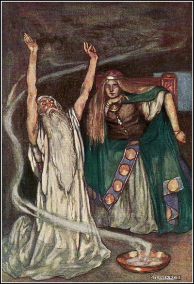
In Gaelic (Irish, Scottish and Manx) myth, the Cailleach (, ) is a divine hag and ancestor, associated with the creation of the landscape and with the weather, especially storms and winter. The word literally means 'old woman, hag', and is found with this meaning in modern Irish and Scottish Gaelic, and has been applied to numerous mythological and folkloric figures in Ireland, Scotland, and the Isle of Man.Briggs, Katharine M. (1976) ''An Encyclopedia of Fairies''. New York, Pantheon Books. pp. 57-60. In modern Irish folklore studies, she is sometimes known as The Hag of Beara, while in Scotland she is known as Beira, Queen of Winter. Name ('old woman' or 'hag' in modern Irish and Scottish Gaelic) comes from the Old Irish ('veiled one'), an adjectival form of ('veil'), an early loan from Latin , 'woollen cloak'.Macbain, Alexander (1998) ''Etymological Dictionary Of Scottish-Gaelic''. New York: Hippocrene Books, , p. 63. The Cailleach is often referred to as the in Irish ... [...More Info...] [...Related Items...] OR: [Wikipedia] [Google] [Baidu] |
Furbaide Ferbend
Furbaide Ferbend is a character from the Ulster Cycle of Irish mythology. Legend has it that Furbaide Ferbend was buried in a passage grave atop Carn Clonhugh, more commonly known as Corn Hill or Cairn Hill, north Longford, after the two passage graves that crown the summit. Life His father is Conchobar mac Nessa, king of the Ulaid. His mother is one of the daughters of Eochu Feidlech, the High King of Ireland: in the saga ''Cath Boinde'' ("the battle of the Boyne) Joseph O'Neill, (ed. & trans."Cath Boinde" ''Ériu v.2, 1905, pp.173-185 and the ''Dindsenchas'' poem "Carn Furbaide"Edward Gwynn (ed. & trans.)"Carn Furbaide" ''The Metrical Dindshenchas'' Vol. 4, Dublin Institute for Advanced Studies, 1906 she is Eithne, in the saga ''Aided Meidbe'' ("the death of Medb") she is Clothru.Vernam Hull (ed. & trans.)"Aided Meidbe: The Violent Death of Medb" ''Speculum'' v.13 issue 1, Jan. 1938, pp. 52-61 Eochu gave several of his daughters to Conchobar in marriage in compensation for C ... [...More Info...] [...Related Items...] OR: [Wikipedia] [Google] [Baidu] |
Medb
Medb (), later spelled Meadhbh (), Méibh () and Méabh (), and often anglicised as Maeve ( ), is queen of Connacht in the Ulster Cycle of Irish mythology. Her husband in the core stories of the cycle is Ailill mac Máta, although she had several husbands before him who were also kings of Connacht. She rules from Cruachan (now Rathcroghan, County Roscommon). She is the enemy (and former wife) of Conchobar mac Nessa, king of Ulster, and is best known for starting the ''Táin Bó Cúailnge'' ("The Cattle Raid of Cooley") to steal Ulster's prize stud bull Donn Cúailnge. Medb is strong-willed, ambitious, cunning and promiscuous, and is an archetypal warrior queen. She is believed by some to be a manifestation of the sovereignty goddess.Ó hÓgáin, Dáithí. ''Myth, Legend & Romance: An encyclopaedia of the Irish folk tradition''. Prentice Hall Press, 1991. pp. 294–295Monaghan, Patricia. ''The Encyclopedia of Celtic Mythology and Folklore''. Infobase Publishing, 2004. p.319Koch, ... [...More Info...] [...Related Items...] OR: [Wikipedia] [Google] [Baidu] |
Furbaide
Furbaide Ferbend is a character from the Ulster Cycle of Irish mythology. Legend has it that Furbaide Ferbend was buried in a passage grave atop Carn Clonhugh, more commonly known as Corn Hill or Cairn Hill, north Longford, after the two passage graves that crown the summit. Life His father is Conchobar mac Nessa, king of the Ulaid. His mother is one of the daughters of Eochu Feidlech, the High King of Ireland: in the saga ''Cath Boinde'' ("the battle of the Boyne) Joseph O'Neill, (ed. & trans."Cath Boinde" ''Ériu v.2, 1905, pp.173-185 and the ''Dindsenchas'' poem "Carn Furbaide"Edward Gwynn (ed. & trans.)"Carn Furbaide" ''The Metrical Dindshenchas'' Vol. 4, Dublin Institute for Advanced Studies, 1906 she is Eithne, in the saga ''Aided Meidbe'' ("the death of Medb") she is Clothru.Vernam Hull (ed. & trans.)"Aided Meidbe: The Violent Death of Medb" ''Speculum'' v.13 issue 1, Jan. 1938, pp. 52-61 Eochu gave several of his daughters to Conchobar in marriage in compensation for Conc ... [...More Info...] [...Related Items...] OR: [Wikipedia] [Google] [Baidu] |
Global Positioning System
The Global Positioning System (GPS), originally Navstar GPS, is a satellite-based radionavigation system owned by the United States government and operated by the United States Space Force. It is one of the global navigation satellite systems (GNSS) that provides geolocation and time information to a GPS receiver anywhere on or near the Earth where there is an unobstructed line of sight to four or more GPS satellites. It does not require the user to transmit any data, and operates independently of any telephonic or Internet reception, though these technologies can enhance the usefulness of the GPS positioning information. It provides critical positioning capabilities to military, civil, and commercial users around the world. Although the United States government created, controls and maintains the GPS system, it is freely accessible to anyone with a GPS receiver. The GPS project was started by the U.S. Department of Defense in 1973. The first prototype spacecraft was lau ... [...More Info...] [...Related Items...] OR: [Wikipedia] [Google] [Baidu] |
Carrowmore
Carrowmore ( ga, An Cheathrú Mhór, 'the great quarter') is a large group of megalithic monuments on the Coolera Peninsula to the west of Sligo, Ireland. They were built in the 4th millennium BC, during the Neolithic (New Stone Age). There are thirty surviving tombs, making Carrowmore one of the largest clusters of megalithic tombs in Ireland, and one of the 'big four' along with Carrowkeel, Loughcrew and Brú na Bóinne. Carrowmore is the heart of an ancient ritual landscape which is dominated by the mountain of Knocknarea to the west. It is a protected National Monument. Location Placed on a small plateau at an altitude of between 36.5 and 59 metres above sea level Carrowmore is the focal point of a prehistoric ritual landscape which is dominated by the mountain of Knocknarea to the west with the great cairn of Miosgán Médhbh on top. To the east, in Carns townland, two large cairns overlook Lough Gill, and along the eastern boundary of the peninsula the Ballygawley Mou ... [...More Info...] [...Related Items...] OR: [Wikipedia] [Google] [Baidu] |
Newgrange
Newgrange ( ga, Sí an Bhrú) is a prehistoric monument in County Meath in Ireland, located on a rise overlooking the River Boyne, west of Drogheda. It is an exceptionally grand passage tomb built during the Neolithic Period, around 3200 BC, making it older than Stonehenge and the Egyptian pyramids. It is aligned on the winter solstice sunrise. Newgrange is the main monument in the Brú na Bóinne complex, a World Heritage Site that also includes the passage tombs of Knowth and Dowth, as well as other henges, burial mounds and standing stones. Newgrange consists of a large circular mound with an inner stone passageway and cruciform chamber. Burnt and unburnt human bones, and possible grave goods or votive offerings, were found in this chamber. The mound has a retaining wall at the front, made mostly of white quartz cobblestones, and it is ringed by engraved kerbstones. Many of the larger stones of Newgrange are covered in megalithic art. The mound is also ringed by a stone c ... [...More Info...] [...Related Items...] OR: [Wikipedia] [Google] [Baidu] |


