|
Comford
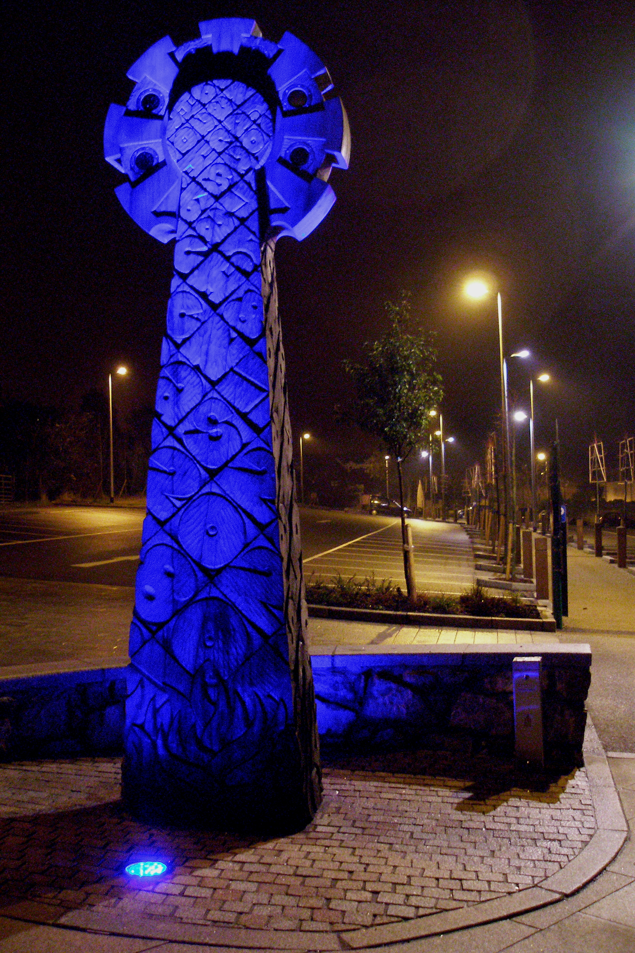
Comford is a small settlement in Cornwall, England, United Kingdom. It is approximately 3 miles (5 km) southeast of Redruth on the A393 road and very close to Gwennap Gwennap ( kw, Lannwenep (village), Pluw Wenep (parish)) is a village and civil parishes in England, civil parish in Cornwall, England. It is about five miles (8 km) southeast of Redruth. Hamlets of Burncoose, Comford, Coombe, Gwennap, Coomb ....Ordnance Survey: Landranger map sheet 204 ''Truro & Falmouth'' References Hamlets in Cornwall {{Carrick-geo-stub ... [...More Info...] [...Related Items...] OR: [Wikipedia] [Google] [Baidu] |
Gwennap
Gwennap ( kw, Lannwenep (village), Pluw Wenep (parish)) is a village and civil parishes in England, civil parish in Cornwall, England. It is about five miles (8 km) southeast of Redruth. Hamlets of Burncoose, Comford, Coombe, Gwennap, Coombe, Crofthandy, Cusgarne, Fernsplatt, Frogpool, Hick's Mill, Tresamble and United Downs lie in the parish, as does Little Beside country house. In the 18th and early 19th centuries Gwennap parish was the Mining in Cornwall#Gwennap.2C Cornwall.27s .22Copper Kingdom.22, richest copper mining district in Cornwall, and was called the "richest square mile in the Old World". It is near the course of the Great County Adit which was constructed to drain mines in the area including several of the local once-famous mines such as Consolidated Mines, Poldice mine and Wheal Busy. Today it forms part of area A6i (the Gwennap Mining District) of the Cornwall and West Devon Mining Landscape World Heritage Site. It lends its name to Gwennap Pit, where Joh ... [...More Info...] [...Related Items...] OR: [Wikipedia] [Google] [Baidu] |
Cornwall
Cornwall (; kw, Kernow ) is a historic county and ceremonial county in South West England. It is recognised as one of the Celtic nations, and is the homeland of the Cornish people. Cornwall is bordered to the north and west by the Atlantic Ocean, to the south by the English Channel, and to the east by the county of Devon, with the River Tamar forming the border between them. Cornwall forms the westernmost part of the South West Peninsula of the island of Great Britain. The southwesternmost point is Land's End and the southernmost Lizard Point. Cornwall has a population of and an area of . The county has been administered since 2009 by the unitary authority, Cornwall Council. The ceremonial county of Cornwall also includes the Isles of Scilly, which are administered separately. The administrative centre of Cornwall is Truro, its only city. Cornwall was formerly a Brythonic kingdom and subsequently a royal duchy. It is the cultural and ethnic origin of the Cornish dias ... [...More Info...] [...Related Items...] OR: [Wikipedia] [Google] [Baidu] |
Redruth
Redruth ( , kw, Resrudh) is a town and civil parishes in Cornwall, civil parish in Cornwall, England. The population of Redruth was 14,018 at the 2011 census. In the same year the population of the Camborne-Redruth urban area, which also includes Carn Brea, Redruth, Carn Brea, Illogan and several satellite villages, stood at 55,400 making it the largest conurbation in Cornwall. Redruth lies approximately at the junction of the Great Britain road numbering scheme, A393 and A3047 roads, on the route of the old London to Land's End trunk road (now the A30 road, A30), and is approximately west of Truro, east of St Ives, Cornwall, St Ives, north east of Penzance, Cornwall, Penzance and north west of Falmouth, Cornwall, Falmouth. Camborne and Redruth together form the largest urban area in Cornwall and before local government reorganisation were an Urban district (Great Britain and Ireland), urban district. Toponymy The name Redruth derives from its older Cornish name, ''Rhy ... [...More Info...] [...Related Items...] OR: [Wikipedia] [Google] [Baidu] |
Hamlet (place)
A hamlet is a human settlement that is smaller than a town or village. Its size relative to a Parish (administrative division), parish can depend on the administration and region. A hamlet may be considered to be a smaller settlement or subdivision or satellite entity to a larger settlement. The word and concept of a hamlet has roots in the Anglo-Norman settlement of England, where the old French ' came to apply to small human settlements. Etymology The word comes from Anglo-Norman language, Anglo-Norman ', corresponding to Old French ', the diminutive of Old French ' meaning a little village. This, in turn, is a diminutive of Old French ', possibly borrowed from (West Germanic languages, West Germanic) Franconian languages. Compare with modern French ', Dutch language, Dutch ', Frisian languages, Frisian ', German ', Old English ' and Modern English ''home''. By country Afghanistan In Afghanistan, the counterpart of the hamlet is the Qila, qala (Dari language, Dari: ... [...More Info...] [...Related Items...] OR: [Wikipedia] [Google] [Baidu] |
A393 Road
List of A roads in zone 3 in Great Britain Great Britain is an island in the North Atlantic Ocean off the northwest coast of continental Europe. With an area of , it is the largest of the British Isles, the largest European island and the ninth-largest island in the world. It is ... starting west of the A3 and south of the A4 (roads beginning with 3). Single- and double-digit roads Triple-digit roads Four-digit roads (30xx) Four-digit roads (31xx and higher) Notes and references ;Notes ;References {{UK road lists 3 3 ... [...More Info...] [...Related Items...] OR: [Wikipedia] [Google] [Baidu] |


