|
Colorado Avalanche Information Center
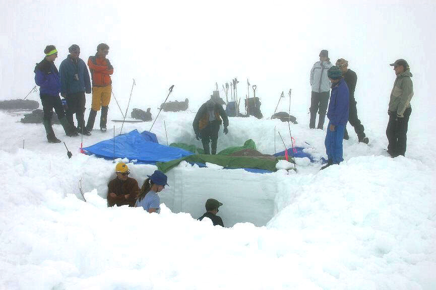
The Colorado Avalanche Information Center (CAIC) provides information about snowpack stability throughout the state of Colorado for motorists and backcountry recreationists in order to reduce the number of avalanche deaths, injuries, and economic damages within the state. Colorado accounts for 1/3 of avalanche deaths within the United States, and avalanches are the most deadly natural disaster within Colorado. The Center, originally called the Colorado Avalanche Warning Center, was initially created in 1973 as part of a US Forest Service program which ended in 1983, when it was transferred to the Colorado Department of Natural Resources. Between 1987 and 2013 the Center was part of the Colorado Geological Survey, but has since been spun off the CGS. The CAIC provides contractual services to the Colorado Department of Transportation. Organization CAIC's main office is in Boulder, with field offices in Aspen, Breckenridge, and in the San Juan Mountains The San Juan Mountains is a h ... [...More Info...] [...Related Items...] OR: [Wikipedia] [Google] [Baidu] |
Snowpack
Snowpack forms from layers of snow that accumulate in geographic regions and high elevations where the climate includes cold weather for extended periods during the year. Snowpacks are an important water resource that feed streams and rivers as they melt. Therefore, snowpacks are both the drinking water source for many communities and a potential source of flooding (in case of sudden melting). Snowpacks also contribute mass to glaciers in their accumulation zone. Assessing the formation and stability of snowpacks is important in the study and prediction of avalanches. Scientists study the physical properties of snow under different conditions and their evolution, and more specifically snow metamorphism, snow hydrology (that is, the contribution of snow melt to catchment hydrology), the evolution of snow cover with climate change and its effect on the ice–albedo feedback and hydrology, both on the ground and by using remote sensing. Snow is also studied in a more global context o ... [...More Info...] [...Related Items...] OR: [Wikipedia] [Google] [Baidu] |
Colorado Department Of Transportation
The Colorado Department of Transportation (CDOT, pronounced See Dot) is the principal department of the Colorado state government that administers state government transportation responsibilities in the state of Colorado. CDOT is responsible for maintaining 9,144 mile highway system, including 3,429 bridges with over 28 billion vehicle miles of travel per year. CDOT's Mission is "To provide the best multi-modal transportation system for Colorado that most effectively moves people, goods, and information." It is governed by the Transportation Commission of Colorado. Motor Carriers over 10,000 lbs are regulated by the state and are required to obtain a federal United States Department of Transportation (USDOT) safety tracking number used to monitor carriers' safety management practices and controls. History :''Source: CDOT'' The Colorado Department of Transportation has its roots in 1909, when the first highway bill was passed by forming a three-member Highway Commission to appr ... [...More Info...] [...Related Items...] OR: [Wikipedia] [Google] [Baidu] |
Avalanche Safety
An avalanche is a rapid flow of snow down a slope, such as a hill or mountain. Avalanches can be set off spontaneously, by such factors as increased precipitation or snowpack weakening, or by external means such as humans, animals, and earthquakes. Primarily composed of flowing snow and air, large avalanches have the capability to capture and move ice, rocks, and trees. Avalanches occur in two general forms, or combinations thereof: slab avalanches made of tightly packed snow, triggered by a collapse of an underlying weak snow layer, and loose snow avalanches made of looser snow. After being set off, avalanches usually accelerate rapidly and grow in mass and volume as they capture more snow. If an avalanche moves fast enough, some of the snow may mix with the air, forming a powder snow avalanche. Though they appear to share similarities, avalanches are distinct from slush flows, mudslides, rock slides, and serac collapses. They are also different from large scale movements ... [...More Info...] [...Related Items...] OR: [Wikipedia] [Google] [Baidu] |
Mountain Pass
A mountain pass is a navigable route through a mountain range or over a ridge. Since many of the world's mountain ranges have presented formidable barriers to travel, passes have played a key role in trade, war, and both Human migration, human and animal migration throughout history. At lower elevations it may be called a hill pass. A mountain pass is typically formed between two volcanic peaks or created by erosion from water or wind. Overview Mountain passes make use of a gap (landform), gap, saddle (landform), saddle, col or notch (landform), notch. A topographic saddle is analogous to the mathematical concept of a saddle surface, with a saddle point marking the highest point between two valleys and the lowest point along a ridge. On a topographic map, passes are characterized by contour lines with an hourglass shape, which indicates a low spot between two higher points. In the high mountains, a difference of between the summit and the mountain is defined as a mountain pas ... [...More Info...] [...Related Items...] OR: [Wikipedia] [Google] [Baidu] |
San Juan Mountains
The San Juan Mountains is a high and rugged mountain range in the Rocky Mountains in southwestern Colorado and northwestern New Mexico. The area is highly mineralized (the Colorado Mineral Belt) and figured in the gold and silver mining industry of early Colorado. Major towns, all old mining camps, include Creede, Lake City, Silverton, Ouray, and Telluride. Large scale mining has ended in the region, although independent prospectors still work claims throughout the range. The last large scale mines were the Sunnyside Mine near Silverton, which operated until late in the 20th century and the Idarado Mine on Red Mountain Pass that closed down in the 1970s. Famous old San Juan mines include the Camp Bird and Smuggler Union mines, both located between Telluride and Ouray. The Summitville mine was the scene of a major environmental disaster in the 1990s when the liner of a cyanide-laced tailing pond began leaking heavily. Summitville is in the Summitville caldera, one of m ... [...More Info...] [...Related Items...] OR: [Wikipedia] [Google] [Baidu] |
Breckenridge, Colorado
The Town of Breckenridge is the home rule municipality that is the county seat and the most populous municipality of Summit County, Colorado, United States. The town population was 5,078 at the 2020 United States Census. Breckenridge is the principal town of the Breckenridge, CO Micropolitan Statistical Area. The town also has many part-time residents, as many people have vacation homes in the area. The town is located at the base of the Tenmile Range. Since ski trails were first cut in 1961, Breckenridge Ski Resort has made the town a popular destination for skiers. Summer in Breckenridge attracts outdoor enthusiasts with hiking trails, wildflowers, fly-fishing in the Blue River, mountain biking, nearby Lake Dillon for boating, white water rafting, three alpine slides, a roller coaster, and many shops and restaurants up and down Main Street. The historic buildings along Main Street with their clapboard and log exteriors add to the charm of the town. Since 1981, Breckenridge h ... [...More Info...] [...Related Items...] OR: [Wikipedia] [Google] [Baidu] |
Aspen, Colorado
Aspen is a home rule municipality that is the county seat and the most populous municipality of Pitkin County, Colorado, United States. The city population was 7,004 at the 2020 United States Census. Aspen is in a remote area of the Rocky Mountains' Sawatch Range and Elk Mountains, along the Roaring Fork River at an elevation just below above sea level on the Western Slope, west of the Continental Divide. Aspen is now a part of the Glenwood Springs, CO Micropolitan Statistical Area. Founded as a mining camp during the Colorado Silver Boom and later named Aspen for the abundance of aspen trees in the area, the city boomed during the 1880s, its first decade. The boom ended when the Panic of 1893 led to a collapse of the silver market. For the next half-century, known as "the quiet years", the population steadily declined, reaching a nadir of fewer than 1000 by 1930. Aspen's fortunes recovered in the mid-20th century when neighboring Aspen Mountain was developed into a ski ... [...More Info...] [...Related Items...] OR: [Wikipedia] [Google] [Baidu] |
Boulder, Colorado
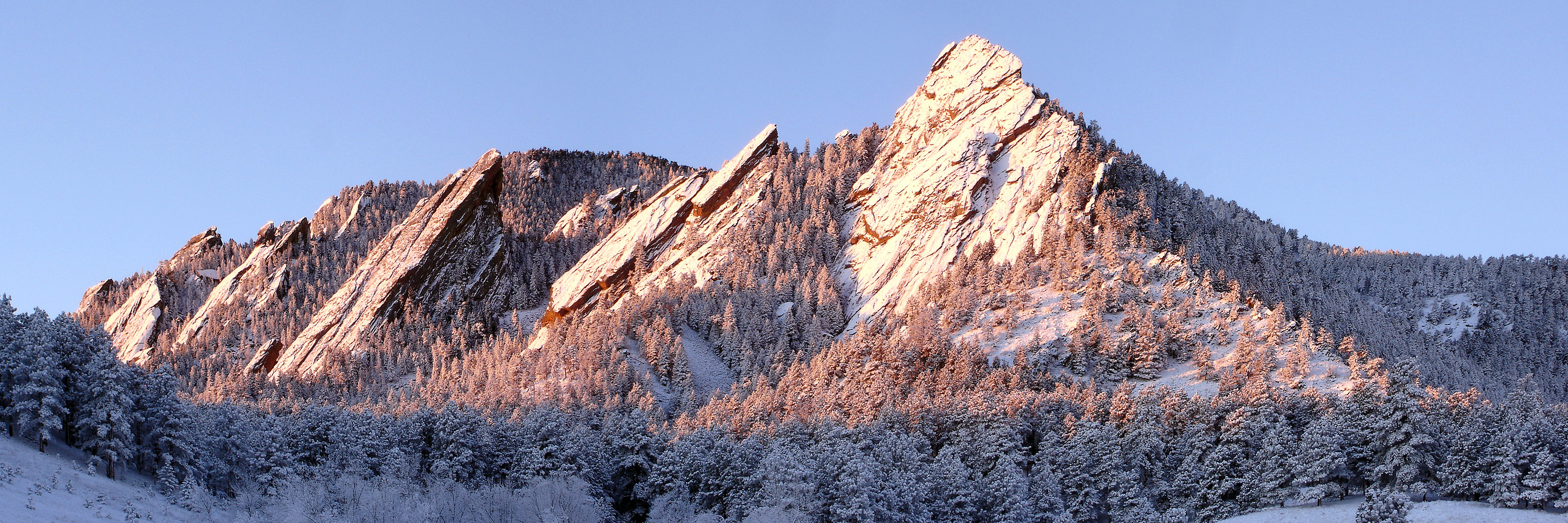
Boulder is a home rule city that is the county seat and most populous municipality of Boulder County, Colorado, United States. The city population was 108,250 at the 2020 United States census, making it the 12th most populous city in Colorado. Boulder is the principal city of the Boulder, CO Metropolitan Statistical Area and an important part of the Front Range Urban Corridor. Boulder is located at the base of the foothills of the Rocky Mountains, at an elevation of above sea level. Boulder is northwest of the Colorado state capital of Denver. It is home of the main campus of the University of Colorado, the state's largest university. History On November 7, 1861, the Colorado General Assembly passed legislation to locate the University of Colorado in Boulder. On September 20, 1875, the first cornerstone was laid for the first building (Old Main) on the CU campus. The university officially opened on September 5, 1877. In 1907, Boulder adopted an anti- saloon ordinanc ... [...More Info...] [...Related Items...] OR: [Wikipedia] [Google] [Baidu] |
Colorado Geological Survey
Colorado (, other variants) is a state in the Mountain West subregion of the Western United States. It encompasses most of the Southern Rocky Mountains, as well as the northeastern portion of the Colorado Plateau and the western edge of the Great Plains. Colorado is the eighth most extensive and 21st most populous U.S. state. The 2020 United States census enumerated the population of Colorado at 5,773,714, an increase of 14.80% since the 2010 United States census. The region has been inhabited by Native Americans and their ancestors for at least 13,500 years and possibly much longer. The eastern edge of the Rocky Mountains was a major migration route for early peoples who spread throughout the Americas. "''Colorado''" is the Spanish adjective meaning "ruddy", the color of the Fountain Formation outcroppings found up and down the Front Range of the Rocky Mountains. The Territory of Colorado was organized on February 28, 1861, and on August 1, 1876, U.S. President Ulysses S. ... [...More Info...] [...Related Items...] OR: [Wikipedia] [Google] [Baidu] |
Colorado
Colorado (, other variants) is a state in the Mountain West subregion of the Western United States. It encompasses most of the Southern Rocky Mountains, as well as the northeastern portion of the Colorado Plateau and the western edge of the Great Plains. Colorado is the eighth most extensive and 21st most populous U.S. state. The 2020 United States census enumerated the population of Colorado at 5,773,714, an increase of 14.80% since the 2010 United States census. The region has been inhabited by Native Americans and their ancestors for at least 13,500 years and possibly much longer. The eastern edge of the Rocky Mountains was a major migration route for early peoples who spread throughout the Americas. "''Colorado''" is the Spanish adjective meaning "ruddy", the color of the Fountain Formation outcroppings found up and down the Front Range of the Rocky Mountains. The Territory of Colorado was organized on February 28, 1861, and on August 1, 1876, U.S. President Ulyss ... [...More Info...] [...Related Items...] OR: [Wikipedia] [Google] [Baidu] |
Colorado Department Of Natural Resources
The Colorado Department of Natural Resources is the principal department of the Colorado state government responsible for the development, protection, and enhancement Colorado natural resources for the use and enjoyment of the state's present and future residents, as well as for visitors to the state. The Department of Natural Resources comprises the following 8 divisions: * Colorado Avalanche Information Center * Colorado Division of Forestry *Colorado Division of Reclamation, Mining, and Safety * Colorado Division of Water Resources * Colorado Oil and Gas Conservation Commission *Colorado Parks and Wildlife *Colorado State Land Board *Colorado Water Conservation Board It formerly included the Colorado Geological Survey which was spun off and subsequently incorporated into the Colorado School of Mines in 2014. In 2022, the Colorado Department of Natural Resources announced its Colorado Strategic Wildfire Action Program Workforce Development Grant, moving $17.5 million state stim ... [...More Info...] [...Related Items...] OR: [Wikipedia] [Google] [Baidu] |
US Forest Service
The United States Forest Service (USFS) is an agency of the U.S. Department of Agriculture that administers the nation's 154 national forests and 20 national grasslands. The Forest Service manages of land. Major divisions of the agency include the Chief's Office, National Forest System, State and Private Forestry, Business Operations, and Research and Development. The agency manages about 25% of federal lands and is the only major national land management agency not part of the U.S. Department of the Interior, which manages the National Park Service, the U.S. Fish and Wildlife Service, and the Bureau of Land Management. History The concept of national forests was born from Theodore Roosevelt's conservation group, Boone and Crockett Club, due to concerns regarding Yellowstone National Park beginning as early as 1875. In 1876, Congress formed the office of Special Agent in the Department of Agriculture to assess the quality and conditions of forests in the United States. ... [...More Info...] [...Related Items...] OR: [Wikipedia] [Google] [Baidu] |


