|
City Of Edinburgh (Fortress) Royal Engineers
The City of Edinburgh (Fortress) Royal Engineers was a volunteer unit of the British Army under various titles from 1886 until 1999. Its main role was defence of the Firth of Forth, but it also provided detachments for active service in the field during both World Wars. Submarine miners Lieutenant-General Sir Andrew Clarke, Inspector-General of Fortifications 1882–6, did not have enough Regular Royal Engineers (RE) to man the fixed mines being installed to defend British ports. He decided to utilise the Volunteer Engineers for this task, and after successful trials the system was rolled out to ports around the country. The Forth Division Submarine Miners was the fifth unit of Volunteer Submarine Miners, a new corps raised in 1886. The first officers' commissions were issued on 2 April 1887 and by the end of the century the unit was a major's command, with three companies. Initially, the headquarters was aboard the mine depot ship HMS ''Dido'' at Leith, the port of Edinburgh, ... [...More Info...] [...Related Items...] OR: [Wikipedia] [Google] [Baidu] |
Flag Of The British Army
A flag is a piece of fabric (most often rectangular or quadrilateral) with a distinctive design and colours. It is used as a symbol, a signalling device, or for decoration. The term ''flag'' is also used to refer to the graphic design employed, and flags have evolved into a general tool for rudimentary signalling and identification, especially in environments where communication is challenging (such as the maritime environment, where semaphore is used). Many flags fall into groups of similar designs called flag families. The study of flags is known as "vexillology" from the Latin , meaning "flag" or "banner". National flags are patriotic symbols with widely varied interpretations that often include strong military associations because of their original and ongoing use for that purpose. Flags are also used in messaging, advertising, or for decorative purposes. Some military units are called "flags" after their use of flags. A ''flag'' (Arabic: ) is equivalent to a brigade ... [...More Info...] [...Related Items...] OR: [Wikipedia] [Google] [Baidu] |
Controlled Mines
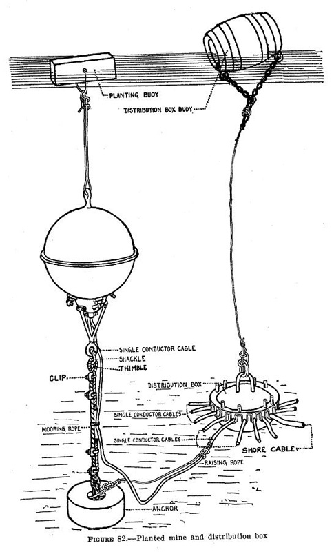
A controlled mine was a circuit fired weapon used in coastal defenses with ancestry going back to 1805 when Robert Fulton termed his underwater explosive device a torpedo: Robert Fulton invented the word torpedo to describe his underwater explosive device and successfully destroyed a ship in 1805. In the 1840s Samuel Colt began experimenting with underwater mines fired by electric current and in 1842, he blew up an old schooner in the Potomac River from a shore station five miles away. History "Torpedoes" were in use during the American Civil War when such devices were made famous with the order given by David Farragut at Mobile Bay. After that war similar mines were being contemplated or put into use by other nations. In 1869 the United States Army Corps of Engineers was directed by Secretary of War William Belknap to assume responsibility for torpedoes for coastal defense. That responsibility continued through the formation of the U.S. Torpedo Service as part of the United Sta ... [...More Info...] [...Related Items...] OR: [Wikipedia] [Google] [Baidu] |
Port Said
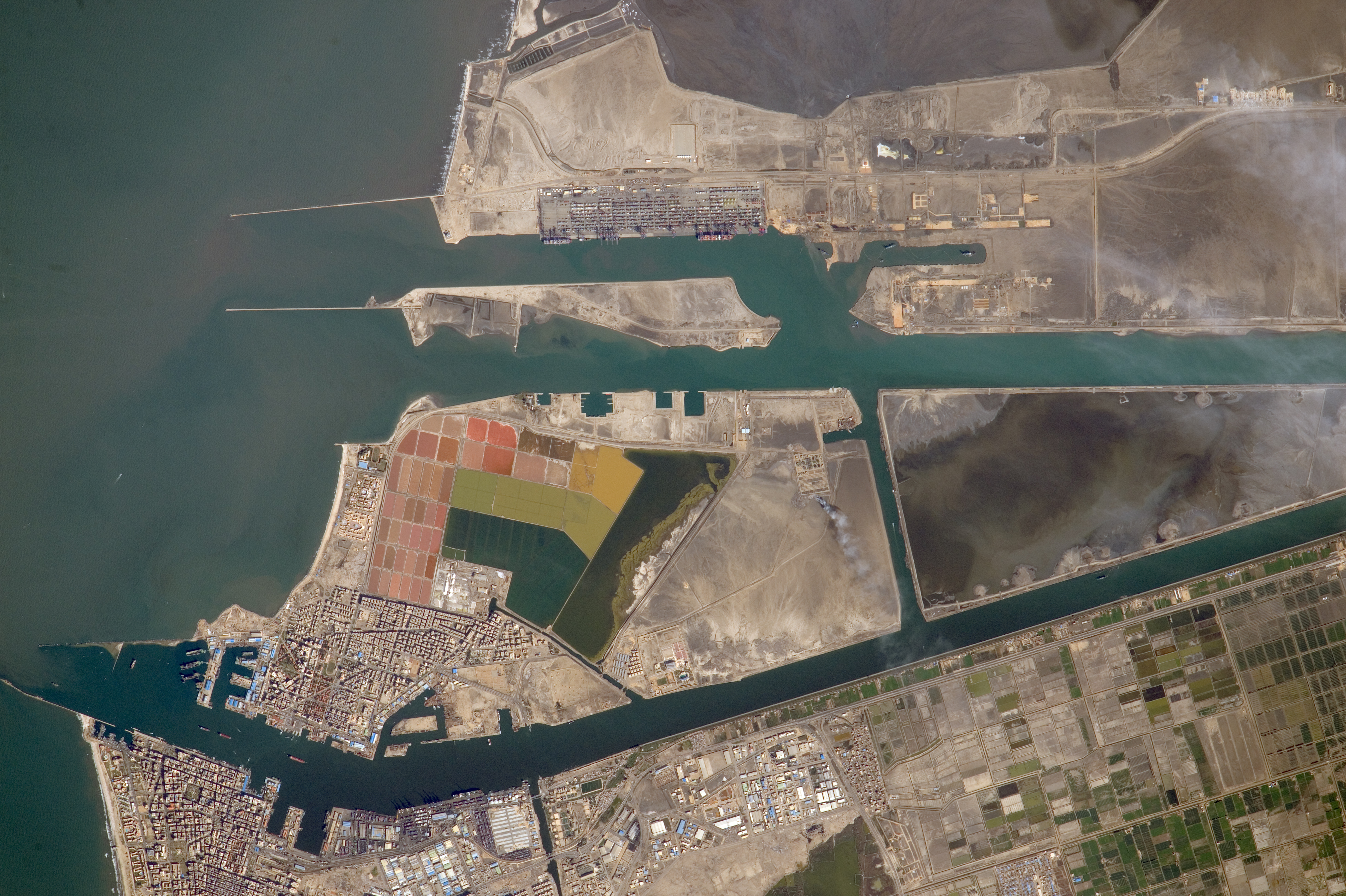
Port Said ( ar, بورسعيد, Būrsaʿīd, ; grc, Πηλούσιον, Pēlousion) is a city that lies in northeast Egypt extending about along the coast of the Mediterranean Sea, north of the Suez Canal. With an approximate population of 603,787 (2010), it is the List of cities and towns in Egypt, fifth-largest city in Egypt. The city was established in 1859 during the building of the Suez Canal. There are numerous old houses with grand balconies on all floors, giving the city a distinctive look. Port Said's twin city is Port Fuad, which lies on the eastern bank of the Suez Canal. The two cities coexist, to the extent that there is hardly any town centre in Port Fuad. The cities are connected by free Ferry, ferries running all through the day, and together they form a metropolitan area with over a million residents that extends both on the African and the Asian sides of the Suez Canal. The only other metropolitan area in the world that also spans two continents is Istanbul. ... [...More Info...] [...Related Items...] OR: [Wikipedia] [Google] [Baidu] |
HMNB Devonport
His Majesty's Naval Base, Devonport (HMNB Devonport) is one of three operating bases in the United Kingdom for the Royal Navy (the others being HMNB Clyde and HMNB Portsmouth) and is the sole nuclear repair and refuelling facility for the Royal Navy. The largest naval base in Western Europe, HMNB Devonport is located in Devonport, in the west of the city of Plymouth, England. The base began as Royal Navy Dockyard in the late 17th century, but shipbuilding ceased at Devonport in the early 1970s, although ship maintenance work has continued. The now privatised maintenance facilities are operated by Babcock International Group, who took over the previous owner Devonport Management Limited (DML) in 2007. DML had been running the Dockyard since privatisation in 1987. From 1934 until the early 21st century the naval barracks on the site was named HMS ''Drake'' (it had previously been known as HMS ''Vivid'' after the base ship of the same name). The name HMS ''Drake'' and its c ... [...More Info...] [...Related Items...] OR: [Wikipedia] [Google] [Baidu] |
Thetford
Thetford is a market town and civil parish in the Breckland District of Norfolk, England. It is on the A11 road between Norwich and London, just east of Thetford Forest. The civil parish, covering an area of , in 2015 had a population of 24,340./ There has been a settlement at Thetford since the Iron Age, and parts of the town predate the Norman Conquest; Thetford Castle was established shortly thereafter. Roger Bigod founded the Cluniac Priory of St Mary in 1104, which became the largest and most important religious institution in Thetford. The town was badly hit by the Dissolution of the Monasteries, including the castle's destruction, but was rebuilt in 1574 when Elizabeth I established a town charter. After World War II, Thetford became an "overspill town", taking people from London, as a result of which its population increased substantially. Thetford railway station is served by the Breckland line and is one of the best surviving pieces of 19th-century railway architec ... [...More Info...] [...Related Items...] OR: [Wikipedia] [Google] [Baidu] |
69th (2nd East Anglian) Division
The 2nd East Anglian Division was a 2nd Line Territorial Force division of the British Army in World War I. The division was formed as a duplicate of the 54th (East Anglian) Division in November 1914. As the name suggests, the division recruited in East Anglia, particularly Essex, Norfolk, and Suffolk, but also Bedfordshire, Cambridgeshire, Hertfordshire, and Northamptonshire. In August 1915, in common with all Territorial Force divisions, it was numbered as 69th (2nd East Anglian) Division. By January 1918 it had been extensively reorganized and lost its territorial identity; henceforth it was known as 69th Division. It served on home defence duties throughout the war, whilst recruiting, training and supplying drafts to overseas units and formations. Initially, it was stationed in East Anglia, but from June 1916 it was in Northern Command. It never left England and was eventually disbanded in March 1919. History In accordance with the Territorial and Reserve Forces Act 190 ... [...More Info...] [...Related Items...] OR: [Wikipedia] [Google] [Baidu] |
Territorial Force
The Territorial Force was a part-time volunteer component of the British Army, created in 1908 to augment British land forces without resorting to conscription. The new organisation consolidated the 19th-century Volunteer Force and yeomanry into a unified auxiliary, commanded by the War Office and administered by local County Territorial Associations. The Territorial Force was designed to reinforce the regular army in expeditionary operations abroad, but because of political opposition it was assigned to home defence. Members were liable for service anywhere in the UK and could not be compelled to serve overseas. In the first two months of the First World War, territorials volunteered for foreign service in significant numbers, allowing territorial units to be deployed abroad. They saw their first action on the Western Front (World War I), Western Front during the initial Race to the Sea, German offensive of 1914, and the force filled the gap between the near destruction of the ... [...More Info...] [...Related Items...] OR: [Wikipedia] [Google] [Baidu] |
Haldane Reforms
The Haldane Reforms were a series of far-ranging reforms of the British Army made from 1906 to 1912, and named after the Secretary of State for War, Richard Burdon Haldane. They were the first major reforms since the " Childers Reforms" of the early 1880s, and were made in the light of lessons newly learned in the Second Boer War. The major element of the reforms was the creation of an expeditionary force, specifically prepared and trained for intervening in a major war. This had existed before, but it had not been well-prepared for overseas service; the newly organised force was to have a permanent peacetime organisation and a full complement of supporting troops. At the same time, the reserve forces were restructured and expanded so as to ensure that overseas forces could be expanded, supplied with new recruits and to provide for home defence. The Volunteer Force and the Yeomanry were reorganised into a new Territorial Force and the Militia was formed into the Special Reserve ... [...More Info...] [...Related Items...] OR: [Wikipedia] [Google] [Baidu] |
Militia (United Kingdom)
The Militia of the United Kingdom were the military reserve forces of the United Kingdom of Great Britain and Ireland after the Union in 1801 of the former Kingdom of Great Britain and Kingdom of Ireland. The militia was transformed into the Special Reserve by the Territorial and Reserve Forces Act 1907. For the period before the creation of the United Kingdom, in the home nations and their colonies, see Militia (Great Britain). Nineteenth century A separate voluntary Local Militia was created in 1808 before being disbanded in 1816. By 1813 the British Army was experiencing a shortage of manpower to maintain their battalions at full strength. Some consideration was given to recruiting foreign nationals; however on 4 November 1813 a bill was introduced to Parliament to allow Militia volunteers to serve in Europe. In the event only three battalions were raised, and these were sent to serve under Henry Bayly. On 12 April 1814 they arrived in Bordeaux, where they were attached to the ... [...More Info...] [...Related Items...] OR: [Wikipedia] [Google] [Baidu] |
War Office
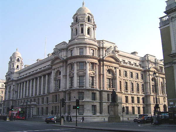
The War Office was a department of the British Government responsible for the administration of the British Army between 1857 and 1964, when its functions were transferred to the new Ministry of Defence (MoD). This article contains text from this source, which is available under th Open Government Licence v3.0 © Crown copyright It was equivalent to the Admiralty, responsible for the Royal Navy (RN), and (much later) the Air Ministry, which oversaw the Royal Air Force (RAF). The name 'War Office' is also given to the former home of the department, located at the junction of Horse Guards Avenue and Whitehall in central London. The landmark building was sold on 1 March 2016 by HM Government for more than £350 million, on a 250 year lease for conversion into a luxury hotel and residential apartments. Prior to 1855, 'War Office' signified the office of the Secretary at War. In the 17th and 18th centuries, a number of independent offices and individuals were re ... [...More Info...] [...Related Items...] OR: [Wikipedia] [Google] [Baidu] |
Queen Street, Edinburgh
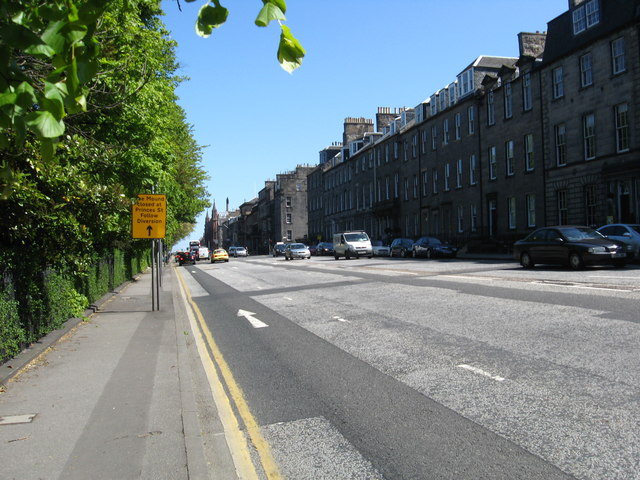
Queen Street is the northernmost east-west street in Edinburgh's First New Town. It begins in the east, at the Scottish National Portrait Gallery. It links York Place with the Moray Estate. It was named "Queen Street" after Queen Charlotte of Mecklenburg-Strelitz, the wife of George III of the United Kingdom and was so named on James Craig's plan of the New Town issued by the Town Council in 1768. Most early maps repeat this name but others misname it Queen's Street or Queens Street. History The street forms part of James Craig's plan of 1768 for a New Town to the north of Edinburgh's Old Town and the North Loch. This had three main east-west streets: Princes Street; George Street; and Queen Street. Queen Street was planned as a one-sided street, facing north over then fields towards the Firth of Forth. The first 30 metres beyond the road itself was originally laid out as private individual gardens to some of the Queen Street residents. Not until the opposite side was dev ... [...More Info...] [...Related Items...] OR: [Wikipedia] [Google] [Baidu] |


