|
Chiriquí Department
Chiriquí refers to one of the following, in or around Panama: * Chiriquí Province, a province of Panama * Chiriquí, Chiriquí, a corregimiento in Chiriquí Province * Chiriquí River, a river in its eponymous province * Gulf of Chiriquí The Gulf of Chiriquí is a part of Panama that encompasses Coiba National Park and Golfo de Chiriquí National Park. There are dozens of islands in this Gulf. Along with the islands of Coiba National Park there is also Islas Secas, Los Ladro ..., a gulf in its eponymous province * Chiriqui culture, a Pre-Columbian civilization that inhabited this province {{geodis ... [...More Info...] [...Related Items...] OR: [Wikipedia] [Google] [Baidu] |
Panama
Panama ( , ; es, link=no, Panamá ), officially the Republic of Panama ( es, República de Panamá), is a transcontinental country spanning the southern part of North America and the northern part of South America. It is bordered by Costa Rica to the west, Colombia to the southeast, the Caribbean Sea to the north, and the Pacific Ocean to the south. Its capital and largest city is Panama City, whose metropolitan area is home to nearly half the country's million people. Panama was inhabited by indigenous tribes before Spanish colonists arrived in the 16th century. It broke away from Spain in 1821 and joined the Republic of Gran Colombia, a union of Nueva Granada, Ecuador, and Venezuela. After Gran Colombia dissolved in 1831, Panama and Nueva Granada eventually became the Republic of Colombia. With the backing of the United States, Panama seceded from Colombia in 1903, allowing the construction of the Panama Canal to be completed by the United States Army Corps of En ... [...More Info...] [...Related Items...] OR: [Wikipedia] [Google] [Baidu] |
Chiriquí Province
Chiriquí () is a province of Panama located on the western coast; it is the second most developed province in the country, after the Panamá Province. Its capital is the city of David. It has a total area of 6,490.9 km², with a population of 462,056 as of the year 2019. The province of Chiriquí is bordered to the north by the province of Bocas del Toro, to the west by Costa Rica, to the east by the province of Veraguas, and to the south by the Pacific Ocean, specifically the Gulf of Chiriquí. History Until the arrival of the Spanish ''conquistadores'', Chiriquí was populated by a number of indigenous tribes, known collectively as the Guaymí people. The first European to visit and describe Chiriquí was Gaspar de Espinosa, in 1519. The province was officially established on May 26, 1849, when Panama was still part of Colombia. Several years later, President Abraham Lincoln of the United States proposed Chiriquí as a favored location for Linconia, a colony for free ... [...More Info...] [...Related Items...] OR: [Wikipedia] [Google] [Baidu] |
Chiriquí, Chiriquí
Chiriquí is a corregimiento in David District, Chiriquí Province, Panama Panama ( , ; es, link=no, Panamá ), officially the Republic of Panama ( es, República de Panamá), is a transcontinental country spanning the southern part of North America and the northern part of South America. It is bordered by Cos .... It has a land area of and had a population of 4,269 as of 2010, giving it a population density of . Its population as of 1990 was 3,227; its population as of 2000 was 3,697. References Corregimientos of Chiriquí Province {{Chiriquí-geo-stub ... [...More Info...] [...Related Items...] OR: [Wikipedia] [Google] [Baidu] |
Chiriquí River
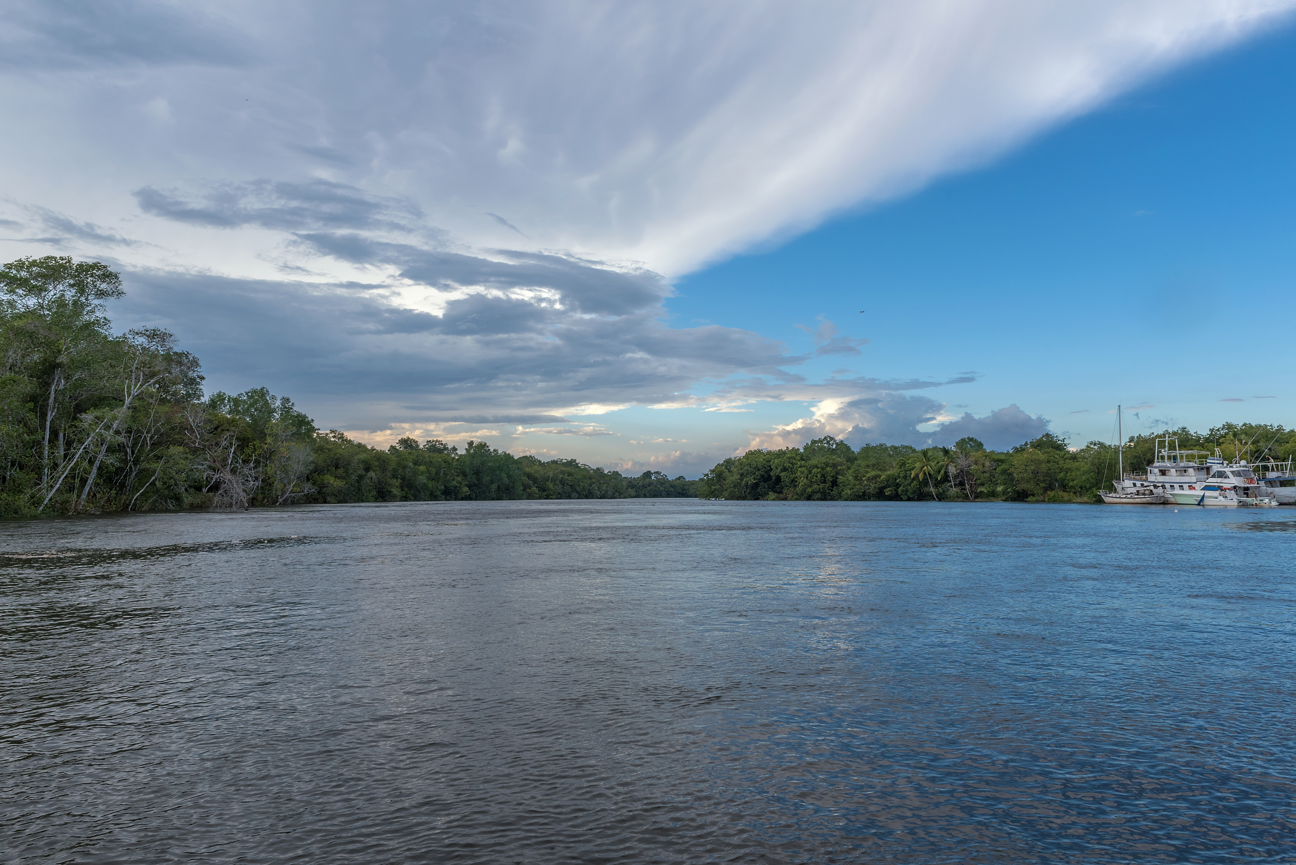
The Chiriquí River is a river of Panama located at Chiriquí province at the districts of Boquete, David, Dolega, and Gualaca. Its length is 130 km. Its principal tributaries are El Platanal, David, Majagua, Cochea, Caldera, Los Valles, El Sitio, Gualaca, and Estí. See also *List of rivers of Panama This is a list of rivers in Panama. By drainage basin This list is arranged by drainage basin, with respective tributaries indented under each larger stream's name. Caribbean Sea, Atlantic Ocean *Sixaola River ** Yorkin River * San Carlos River ... References * Rand McNally, The New International Atlas, 1993. * CIA map, 1995. Rivers of Panama {{Panama-river-stub ... [...More Info...] [...Related Items...] OR: [Wikipedia] [Google] [Baidu] |
Gulf Of Chiriquí
The Gulf of Chiriquí is a part of Panama that encompasses Coiba National Park and Golfo de Chiriquí National Park. There are dozens of islands in this Gulf. Along with the islands of Coiba National Park there is also Islas Secas, Los Ladrones, Isla Parida, Isla Boca Brava, Isla Palenque and Isla Montuosa. Montuosa is the farthest island from Panama in this gulf. During certain seasons, you can even spot Galapagos seals on Montuosa. The Gulf of Chiriquí also includes one of the most famous big game fishing areas, Hannibal Bank, located just 13 miles east of Isla Montuosa and 20 miles west of Coiba National Park. Geography *Boca Chica - Boca Chica is located 18 miles south of the IntraAmerican highway, via the community of Horconcitos, in the San Lorenzo District. It is a small village known as a popular jumping-off point for sportfishing in the Gulf of Chiriquí. Islands *Boca Brava and Isla Palenque - Boca Brava is about one-half mile from Boca Chica. You can get ... [...More Info...] [...Related Items...] OR: [Wikipedia] [Google] [Baidu] |
