|
Chilena (musical Genre)
The chilena is a Mexican musical genre from the Costa Chica coastal regions of the Mexican states of Guerrero and Oaxaca, although its influence also reaches other nearby regions.Román Pérez Monfort, ''La música y el baile de "La Chilena" en la costa oaxaqueña''. Oaxaca: Proveedora Escolar n.d. Its origins lie in the cueca of Chile, whence its name. The ''cueca'' is a dance that was brought by Chilean sailors in 1822 and later by Chilean immigrants between 1848 and 1855, during the height of the California Gold Rush. They passed through the ports of Acapulco in Guerrero and Puerto Ángel, Huatulco Huatulco (; ''wah-TOOL-coh''), formally Bahías de Huatulco, centered on the town of La Crucecita, is a tourist development in Mexico. It is located on the Pacific coast in the state of Oaxaca. Huatulco's tourism industry is centered on its nine ..., and Puerto Escondido in Oaxaca. Mexican styles of music References {{Mexico-stub ... [...More Info...] [...Related Items...] OR: [Wikipedia] [Google] [Baidu] |
Mexican Music
The music of Mexico is very diverse and features a wide range of musical genres and performance styles. It has been influenced by a variety of cultures, most notably deriving from the culture of the Europeans, Indigenous, and Africans. It also sometimes rarely contains influences from Asians and Arabs, as well as from other Hispanic and Latino cultures. Music was an expression of Mexican nationalism, beginning in the nineteenth century. History of Mexican music The foundation of Mexican music comes from its indigenous sounds and heritage. The original inhabitants of the land used drums (such as the teponaztli), flutes, rattles, conches as trumpets and their voices to make music and dances. This ancient music is still played in some parts of Mexico. However, much of the traditional contemporary music of Mexico was written during and after the Spanish colonial period, using many old world influenced instruments. Many traditional instruments, such as the Mexican vihuela used ... [...More Info...] [...Related Items...] OR: [Wikipedia] [Google] [Baidu] |
Costa Region
The Costa Region or Costa Chica lies on the Pacific coast of the state of Oaxaca, Mexico, south of the more mountainous Sierra Sur inland from the coast. It includes the districts of Jamiltepec, Juquila and Pochutla. Climate The region has a tropical climate in the coastal plain, with a more temperate climate higher up. Average temperatures range between , and maximum annual rainfall is between - Economy The population is mainly engaged in agriculture and waterfront fisheries. One of the best coffees in the world, the Pluma Hidalgo, is cultivated in the Pochutla district. In other parts of the region lemons are grown to make lemon oil, a raw material for perfumes and medicines. Pine and oak wood is harvested for plywood. Ranching is a major source of revenue. There is also small-scale exploitation of iron, copper and magnesium, and the region has titanium deposits. It is a tourist region, based on the beaches of Huatulco and Puerto Escondido. To develop this industry, ... [...More Info...] [...Related Items...] OR: [Wikipedia] [Google] [Baidu] |
Guerrero
Guerrero is one of the 32 states that comprise the 32 Federal Entities of Mexico. It is divided in 81 municipalities and its capital city is Chilpancingo and its largest city is Acapulcocopied from article, GuerreroAs of 2020, Guerrero the population was recorded that 3,540,685 people who live there. The international sales of their production has gone up, production like fresh mangoes, figs, coconuts, pineapple, avocado, and so much more produce. These sales have really helped Guerrero's economy. These productions have also helped In addition to the capital city, the state's largest cities include Acapulco, Petatlán, Ciudad Altamirano, Taxco, Iguala, Ixtapa, Zihuatanejo, anSanto Domingo Today, it is home to a number of indigenous communities, including the Nahuas, Mixtecs, Tlapanecs, Amuzgos, and formerly Cuitlatecscopied from article, GuerreroMost of the production is from the local farmers all over the cities of Guerrero, Chilpancingo, Iguala. A good portion of Guerrero' ... [...More Info...] [...Related Items...] OR: [Wikipedia] [Google] [Baidu] |
Oaxaca
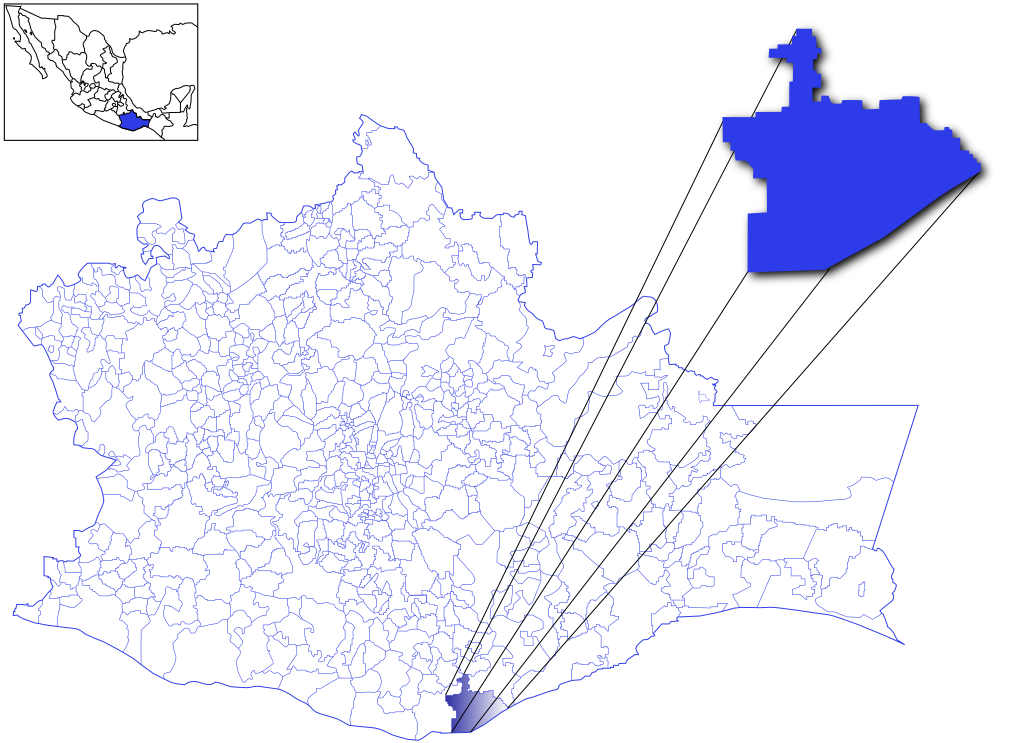
Oaxaca ( , also , , from nci, Huāxyacac ), officially the Free and Sovereign State of Oaxaca ( es, Estado Libre y Soberano de Oaxaca), is one of the 32 states that compose the political divisions of Mexico, Federative Entities of Mexico. It is divided into municipalities of Oaxaca, 570 municipalities, of which 418 (almost three quarters) are governed by the system of (customs and traditions) with recognized local forms of self-governance. Its capital city is Oaxaca de Juárez. Oaxaca is in southwestern Mexico. It is bordered by the states of Guerrero to the west, Puebla to the northwest, Veracruz to the north, and Chiapas to the east. To the south, Oaxaca has a significant coastline on the Pacific Ocean. The state is best known for #Indigenous peoples, its indigenous peoples and cultures. The most numerous and best known are the Zapotec peoples, Zapotecs and the Mixtecs, but there are sixteen that are officially recognized. These cultures have survived better than most others ... [...More Info...] [...Related Items...] OR: [Wikipedia] [Google] [Baidu] |
Cueca
Cueca () is a family of musical styles and associated dances from Chile, Argentina, and Bolivia. In Chile, the cueca holds the status of national dance, where it was officially declared as such by the Pinochet dictatorship on September 18, 1979. Origins While cueca's origins are not clearly defined, it is considered to have mostly European Spanish and arguably indigenous influences. The most widespread version of its origins relates it with the zamacueca which arose in Peru as a variation of Spanish Fandango dancing with ''criollo''. The dance is then thought to have passed to Chile and Bolivia, where its name was shortened and where it continued to evolve. Due to the dance's popularity in the region, the Peruvian evolution of the zamacueca was nicknamed "la chilena", "the Chilean", due to similarities between the dances. Later, after the Pacific War, the term marinera, in honor of Peru's naval combatants and because of hostile attitude towards Chile, was used in place o ... [...More Info...] [...Related Items...] OR: [Wikipedia] [Google] [Baidu] |
Chile
Chile, officially the Republic of Chile, is a country in the western part of South America. It is the southernmost country in the world, and the closest to Antarctica, occupying a long and narrow strip of land between the Andes to the east and the Pacific Ocean to the west. Chile covers an area of , with a population of 17.5 million as of 2017. It shares land borders with Peru to the north, Bolivia to the north-east, Argentina to the east, and the Drake Passage in the far south. Chile also controls the Pacific islands of Juan Fernández, Isla Salas y Gómez, Desventuradas, and Easter Island in Oceania. It also claims about of Antarctica under the Chilean Antarctic Territory. The country's capital and largest city is Santiago, and its national language is Spanish. Spain conquered and colonized the region in the mid-16th century, replacing Inca rule, but failing to conquer the independent Mapuche who inhabited what is now south-central Chile. In 1818, after declaring in ... [...More Info...] [...Related Items...] OR: [Wikipedia] [Google] [Baidu] |
California Gold Rush
The California Gold Rush (1848–1855) was a gold rush that began on January 24, 1848, when gold was found by James W. Marshall at Sutter's Mill in Coloma, California. The news of gold brought approximately 300,000 people to California from the rest of the United States and abroad. The sudden influx of gold into the money supply reinvigorated the American economy; the sudden population increase allowed California to go rapidly to statehood, in the Compromise of 1850. The Gold Rush had severe effects on Native Californians and accelerated the Native American population's decline from disease, starvation and the California genocide. The effects of the Gold Rush were substantial. Whole indigenous societies were attacked and pushed off their lands by the gold-seekers, called "forty-niners" (referring to 1849, the peak year for Gold Rush immigration). Outside of California, the first to arrive were from Oregon, the Sandwich Islands (Hawaii) and Latin America in late 1848. Of th ... [...More Info...] [...Related Items...] OR: [Wikipedia] [Google] [Baidu] |
Acapulco
Acapulco de Juárez (), commonly called Acapulco ( , also , nah, Acapolco), is a city and major seaport in the state of Guerrero on the Pacific Coast of Mexico, south of Mexico City. Acapulco is located on a deep, semicircular bay and has been a port since the early colonial period of Mexico's history. It is a port of call for shipping and cruise lines running between Panama and San Francisco, California, United States. The city of Acapulco is the largest in the state, far larger than the state capital Chilpancingo. Acapulco is also Mexico's largest beach and balneario resort city. Acapulco de Juárez is the municipal seat of the municipality of Acapulco. The city is one of Mexico's oldest beach resorts, coming into prominence in the 1940s through the 1960s as a getaway for Hollywood stars and millionaires. Acapulco was once a popular tourist resort, but due to a massive upsurge in gang violence and homicide numbers since 2014, Acapulco no longer attracts many foreign touris ... [...More Info...] [...Related Items...] OR: [Wikipedia] [Google] [Baidu] |
Puerto Ángel
Puerto Ángel (English: "Angel Port").Is a small coastal town in the Mexican state of Oaxaca located in the municipality of San Pedro Pochutla. It, along with San Agustinillo and Playa Zipolite are known as the "Riviera Oaxaqueña". It is located 9 km south of city of Pochutla approximately 50 kilometers west of Huatulco and 80 kilometers east of Puerto Escondido. Despite tourism development since the 1960s, the town is still mostly a fishing village, located on a small bay surrounded by rocky hills that lead into the Sierra Madre del Sur. It was founded in the mid-19th century as a port for the region's coffee and lumber industries but since then other means of shipping these products has replaced it. History The community was founded in the 1850s when, through the efforts of Benito Juárez, the government built a wharf. At that time, this was a very isolated part of the country and the port was designed to help the area develop its coffee and lumber industries, by giving ... [...More Info...] [...Related Items...] OR: [Wikipedia] [Google] [Baidu] |
Huatulco
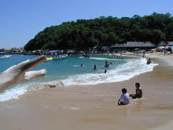
Huatulco (; ''wah-TOOL-coh''), formally Bahías de Huatulco, centered on the town of La Crucecita, is a tourist development in Mexico. It is located on the Pacific coast in the state of Oaxaca. Huatulco's tourism industry is centered on its nine bays, thus the name Bahias de Huatulco, but has since been unofficially shortened to simply Huatulco. Huatulco has a wide variety of accommodation from rooms for rent, small economy hotels, luxury villas, vacation condominia, bed and breakfasts, as well as several luxury resorts standing on or near the shores of Tangolunda Bay. The Camino Real Zaashila (formerly the Omni Zaashila), Quinta Real Huatulco, Las Brisas (formerly a Club Med), Dreams Resort & Spa (formerly the Royal Maeva then the Gala hotel), and the Barceló (formerly the Sheraton hotel) are examples of the most popular larger resorts in the area. Huatulco is located where the foothills of the Sierra Madre del Sur mountains meet the Pacific Ocean, approximately east of Acapu ... [...More Info...] [...Related Items...] OR: [Wikipedia] [Google] [Baidu] |
Puerto Escondido, Oaxaca
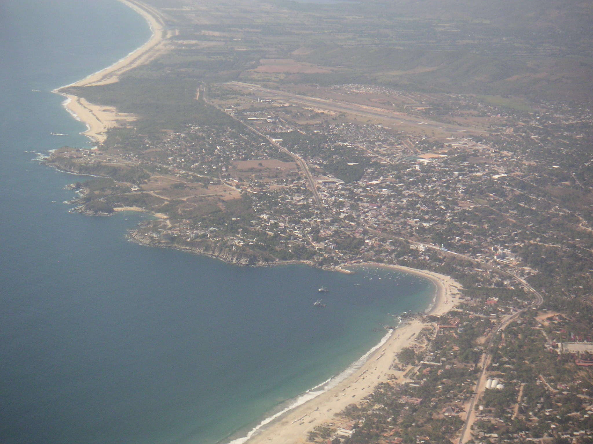
Puerto Escondido (English: "Hidden Port") is a small port and tourist center in the municipality of San Pedro Mixtepec Distrito 22 in the Mexican state of Oaxaca. Prior to the 1930s, there was no town. The bay had been used as a port intermittently to ship coffee, but there was no permanent settlement due to the lack of potable water. The name "Puerto Escondido" had roots in the legend of a woman who escaped her captors and hid here. The Nahuatl word for this area was Zicatela, meaning “place of large thorns". Today, it refers to the area's most famous beach. Puerto Escondido is one of the most important tourist attractions on the Oaxacan coast. It caters to a more downscale and eclectic clientele than neighboring Huatulco, mostly surfers, backpackers and Mexican families. The main attractions are the beaches: Zicatela Beach hosts major surfing competitions, while other beaches have gentle waves. A large lagoon area to the west of the town is popular for fishing and birdwatch ... [...More Info...] [...Related Items...] OR: [Wikipedia] [Google] [Baidu] |


