|
Chapmore End
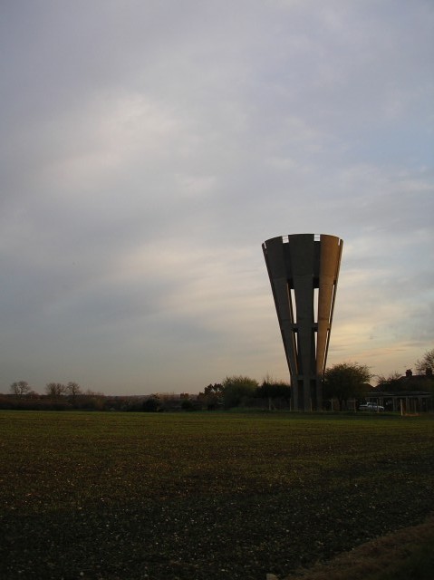
{{Infobox UK place , country = England , official_name= Chapmore End , coordinates = {{coord, 51.8312, -0.0703, display=inline,title , population = , population_ref = < 300 , shire_district= East Hertfordshire , shire_county = Hertfordshire , region= East of England , constituency_westminster= North East Hertfordshire , post_town= Ware , postcode_district = SG12 , postcode_area= SG , dial_code= 01920 , os_grid_reference= TL329165 Chapmore End is a hamlet in Bengeo Rural parish, Hertfordshire. At the 2011 Census the population of the hamlet was included in the town of Ware. The village consists of a few houses and a pub, the Woodman, and is situated just off the B158 approximately three miles north of Hertford. On the other side of the B158 in the Rib Valley is the former ''Hertford County Reformatory for boys'', which was in operation between 1858 and 1981, and ... [...More Info...] [...Related Items...] OR: [Wikipedia] [Google] [Baidu] |
East Hertfordshire
East Hertfordshire is a local government district in Hertfordshire, England. Its council is based in Hertford, the county town of Hertfordshire. The largest town in the district is Bishop's Stortford, and the other main towns are Ware, Buntingford and Sawbridgeworth. At the 2011 Census, the population of the district was 137,687. The district was formed on 1 April 1974, under the Local Government Act 1972, by the merger of the municipal borough of Hertford with Bishop's Stortford, Sawbridgeworth and Ware urban districts, and Braughing Rural District, Ware Rural District and part of Hertford Rural District. By area it is the largest of the ten local government districts in Hertfordshire. It borders the North Hertfordshire district and the boroughs of Stevenage, Welwyn Hatfield and Broxbourne in Hertfordshire, and the districts of Epping Forest, Harlow and Uttlesford in Essex. In the 2006 edition of Channel 4's "Best and Worst Places to Live in the UK", East Hertfordshire ... [...More Info...] [...Related Items...] OR: [Wikipedia] [Google] [Baidu] |
Hertfordshire
Hertfordshire ( or ; often abbreviated Herts) is one of the home counties in southern England. It borders Bedfordshire and Cambridgeshire to the north, Essex to the east, Greater London to the south, and Buckinghamshire to the west. For government statistical purposes, it forms part of the East of England region. Hertfordshire covers . It derives its name – via the name of the county town of Hertford – from a hart (stag) and a ford, as represented on the county's coat of arms and on the flag. Hertfordshire County Council is based in Hertford, once the main market town and the current county town. The largest settlement is Watford. Since 1903 Letchworth has served as the prototype garden city; Stevenage became the first town to expand under post-war Britain's New Towns Act of 1946. In 2013 Hertfordshire had a population of about 1,140,700, with Hemel Hempstead, Stevenage, Watford and St Albans (the county's only ''city'') each having between 50,000 and 100,000 r ... [...More Info...] [...Related Items...] OR: [Wikipedia] [Google] [Baidu] |
North East Hertfordshire (UK Parliament Constituency)
North East Hertfordshire is a constituency represented in the House of Commons of the UK Parliament since 1997 by Oliver Heald, a Conservative. Constituency profile The constituency includes the towns of Letchworth, Baldock and Royston and the undulating rural area, strewn with traditional English villages primarily to their south, most of which are within the more accessible parts of the London Commuter Belt and west of London Stansted Airport. History The constituency was created in for the 1997 general election largely from parts of the abolished County Constituency of North Hertfordshire, including Letchworth, Baldock and Royston. It also included rural areas of the District of East Hertfordshire transferred from the constituencies of Hertford and Stortford and Stevenage. Boundaries 1997–2010: The District of North Hertfordshire wards of Arbury, Baldock, Grange, Letchworth East, Letchworth South East, Letchworth South West, Newsells, Royston East, Royston West, S ... [...More Info...] [...Related Items...] OR: [Wikipedia] [Google] [Baidu] |
Ware, Hertfordshire
Ware is a town in Hertfordshire, England close to the county town of Hertford. It is also a civil parishes in England, civil parish in East Hertfordshire district. Location The town lies on the north–south A10 road (Great Britain), A10 road which is partly shared with the east–west A414 road, A414 (for Hertford to the west and Harlow to the east). There is a large Kingsmead Viaduct, viaduct over the River Lee (England), River Lea at Kings Meads. The £3.6m two-mile bypass opened on 17 January 1979. At the north end of the bypass is the Wodson Park Sports and Leisure Centre and Hanbury Manor, a hotel and country club. The former route of the A10 through the town is now the A1170. The Ware railway station, railway station is on the Hertford East Branch Line and operated by Greater Anglia (train operating company), Greater Anglia and is on a short single track section of the otherwise double track line. History Archaeology has shown that Ware has been occupied since at least t ... [...More Info...] [...Related Items...] OR: [Wikipedia] [Google] [Baidu] |
Hamlet (place)
A hamlet is a human settlement that is smaller than a town or village. Its size relative to a Parish (administrative division), parish can depend on the administration and region. A hamlet may be considered to be a smaller settlement or subdivision or satellite entity to a larger settlement. The word and concept of a hamlet has roots in the Anglo-Norman settlement of England, where the old French ' came to apply to small human settlements. Etymology The word comes from Anglo-Norman language, Anglo-Norman ', corresponding to Old French ', the diminutive of Old French ' meaning a little village. This, in turn, is a diminutive of Old French ', possibly borrowed from (West Germanic languages, West Germanic) Franconian languages. Compare with modern French ', Dutch language, Dutch ', Frisian languages, Frisian ', German ', Old English ' and Modern English ''home''. By country Afghanistan In Afghanistan, the counterpart of the hamlet is the Qila, qala (Dari language, Dari: ... [...More Info...] [...Related Items...] OR: [Wikipedia] [Google] [Baidu] |
Bengeo Rural
Bengeo Rural is a civil parish in the East Hertfordshire district of Hertfordshire, England. According to the 2001 census it had a population of 601, increasing at the 2011 Census to 644. The parish includes the villages of Tonwell and Chapmore End. It originated as a split of the Bengeo parish in 1894 under the provisions of the Local Government Act, the remainder of which was amalgamated with Hertford Hertford ( ) is the county town of Hertfordshire, England, and is also a civil parish in the East Hertfordshire district of the county. The parish had a population of 26,783 at the 2011 census. The town grew around a ford on the River Lea, ne ... Town Council. References External links B.R.P.C. Website Civil parishes in Hertfordshire East Hertfordshire District {{Hertfordshire-geo-stub ... [...More Info...] [...Related Items...] OR: [Wikipedia] [Google] [Baidu] |
B158 Road
B roads are numbered routes in Great Britain of lesser importance than A roads. See the article Great Britain road numbering scheme The Great Britain road numbering scheme is a numbering scheme used to classify and identify all roads in Great Britain. Each road is given a single letter (which represents the road's category) and a subsequent number (between 1 and 4 digits) ... for the rationale behind the numbers allocated. Zone 1 (3 digits) Zone 1 (4 digits) {{DEFAULTSORT:B Roads In Zone 1 Of The Great Britain Numbering Scheme 1 1 ... [...More Info...] [...Related Items...] OR: [Wikipedia] [Google] [Baidu] |
Hertford
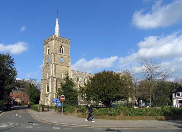
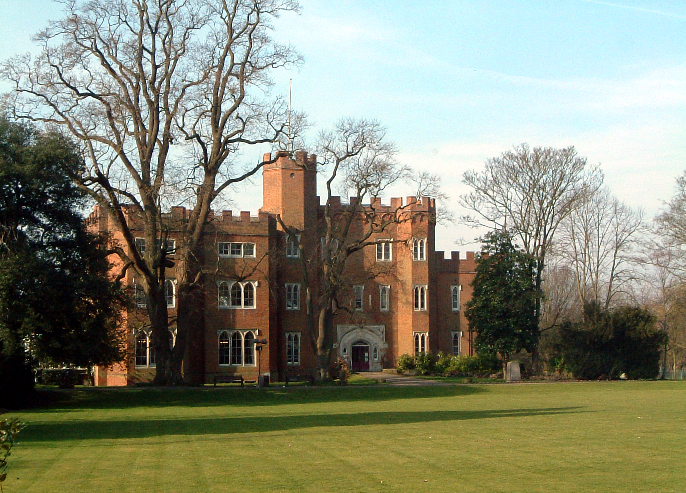
Hertford ( ) is the county town of Hertfordshire, England, and is also a civil parish in the East Hertfordshire district of the county. The parish had a population of 26,783 at the 2011 census. The town grew around a ford on the River Lea, near its confluences with the rivers Mimram, Beane, and Rib. The Lea is navigable from the Thames up to Hertford. Fortified settlements were established on each side of the ford at Hertford in 913AD. The county of Hertfordshire was established at a similar time, being named after and administered from Hertford. Hertford Castle was built shortly after the Norman Conquest in 1066 and remained a royal residence until the early seventeenth century. Hertfordshire County Council and East Hertfordshire District Council both have their main offices in the town and are major local employers, as is McMullen's Brewery, which has been based in the town since 1827. The town is also popular with commuters, being only north of central London and connect ... [...More Info...] [...Related Items...] OR: [Wikipedia] [Google] [Baidu] |
River Rib
The River Rib originates near the East Hertfordshire village of Therfield and runs parallel with the A10 through Chipping, Wyddial, Buntingford, Westmill, Braughing, Puckeridge and Standon, before dividing the villages of Thundridge and Wadesmill and continuing until it reaches its confluence with the River Lea near Hertford. History The River Rib was used to power an overshot watermill at Ware Park between Hertford and Ware. The River Rib used to have frequent floods due to heavy rain in the autumn, but this propensity was resolved by dredging and engineering work in the 1970s. It was used as the main water supply in Buntingford Buntingford is a market town and civil parish in the district of East Hertfordshire and county of Hertfordshire in England. It lies next to the River Rib and is located on the historic Roman road, Ermine Street. As a result of its location, it ... and the surrounding areas before a pump was installed. See also * Index: River Lea Referen ... [...More Info...] [...Related Items...] OR: [Wikipedia] [Google] [Baidu] |
Tonwell
Tonwell is a small village in Bengeo Rural parish, Hertfordshire. The village is situated just off the A602 (formerly B1001), having been bypassed in 1987 - making the A10 and therefore London and Cambridge easily accessible by road. Tonwell has a population of about 300 persons, being included at the 2011 Census in the civil parish of Bengeo Rural. The demographic is similar to that of Hertfordshire itself, with a number of family properties as well as those more suited to elderly people. Near the village are Paynes Hall (south of the village by half a mile, where the A602 crosses the River Rib); Bengeo Temple farm; and the parkland at Sacombe (listed in the landscape character assessment as a rare and significant example of Victorian parkland.) Tonwell has close ties to the neighbouring hamlet of Chapmore End; the only other settlement in the parish. The two settlements have held combined events such as the village fete, and events in the village hall in Tonwell. Villa ... [...More Info...] [...Related Items...] OR: [Wikipedia] [Google] [Baidu] |
Hamlets In Hertfordshire
A hamlet is a human settlement that is smaller than a town or village. Its size relative to a parish can depend on the administration and region. A hamlet may be considered to be a smaller settlement or subdivision or satellite entity to a larger settlement. The word and concept of a hamlet has roots in the Anglo-Norman settlement of England, where the old French ' came to apply to small human settlements. Etymology The word comes from Anglo-Norman ', corresponding to Old French ', the diminutive of Old French ' meaning a little village. This, in turn, is a diminutive of Old French ', possibly borrowed from (West Germanic) Franconian languages. Compare with modern French ', Dutch ', Frisian ', German ', Old English ' and Modern English ''home''. By country Afghanistan In Afghanistan, the counterpart of the hamlet is the qala (Dari: قلعه, Pashto: کلي) meaning "fort" or "hamlet". The Afghan ''qala'' is a fortified group of houses, generally with its own commu ... [...More Info...] [...Related Items...] OR: [Wikipedia] [Google] [Baidu] |


