|
Centerville Municipal Airport (Tennessee)
Centerville Municipal Airport is a city-owned public-use airport located three miles (5 km) north of the central business district of Centerville, a city in Hickman County, Tennessee, United States. Facilities and aircraft Centerville Municipal Airport covers an area of and contains one asphalt paved runway designated 2/20 which measures 4,002 x 75 ft (1,220 x 23 m). For the 12-month period ending December 31, 2004, the airport had 6,350 aircraft operations, an average of 17 per day: 99% general aviation and 1% military. There are 14 aircraft based at this airport: 64% single-engine and 36% multi-engine. References External links CENTERVILLE MUNICIPAL - GHMat Tennessee DOT The Tennessee Department of Transportation (TDOT) is a multimodal agency with statewide responsibilities in roadways, aviation, public transit, waterways, and railroads. The mission of TDOT is to provide a safe and reliable transportation syst ... * Airports in Tennessee Buildings and struc ... [...More Info...] [...Related Items...] OR: [Wikipedia] [Google] [Baidu] |
Centerville, Tennessee
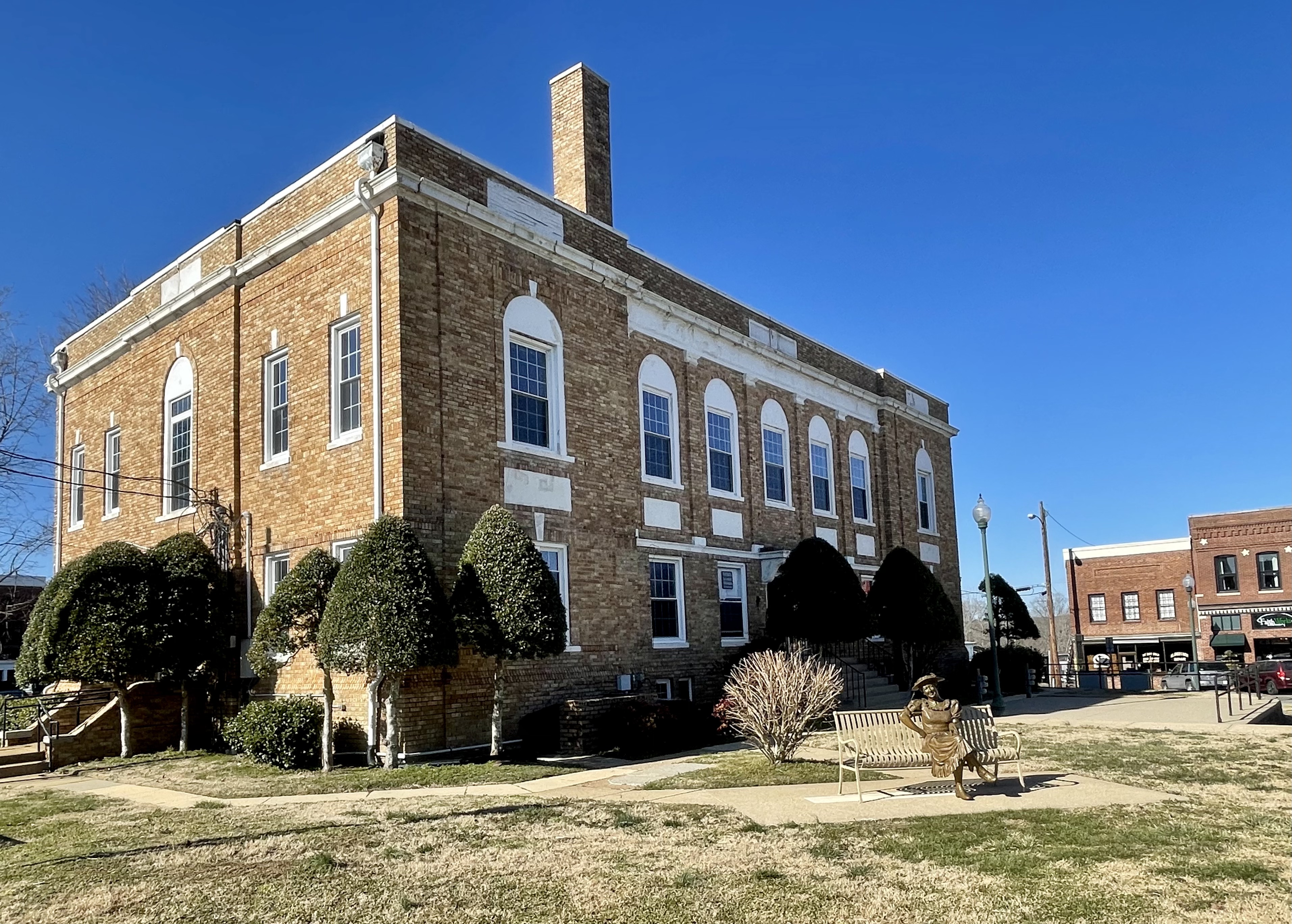
Centerville is a town in Hickman County, Tennessee, United States. The population was 3,489 as of the 2020 Census. It is the county seat and the only incorporated town in Hickman County. It is best known for being the hometown of American comedian Minnie Pearl. Geography Centerville sits at the center of Hickman County in the valley of the Duck River, a west-flowing tributary of the Tennessee River. According to the United States Census Bureau, the town has a total area of , all of it has been recorded as land. Transportation Tennessee State Route 100 is the main road running the length of the town. It leads northeast to Nashville, the state capital, and southwest to Linden. Tennessee State Route 50 passes through the southern part of Centerville, leading northwest to Interstate 40 (via exit 148) near Only and southeast to Columbia. The town limits extend north from the town center along SR 100 to the formerly unincorporated community of Fairfield, where State Route 4 ... [...More Info...] [...Related Items...] OR: [Wikipedia] [Google] [Baidu] |

