|
Castillo Nunatak
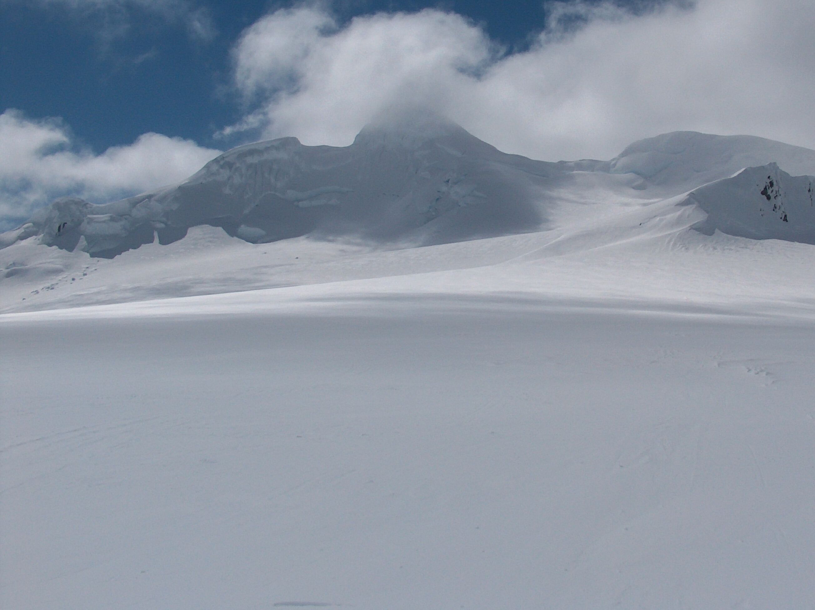
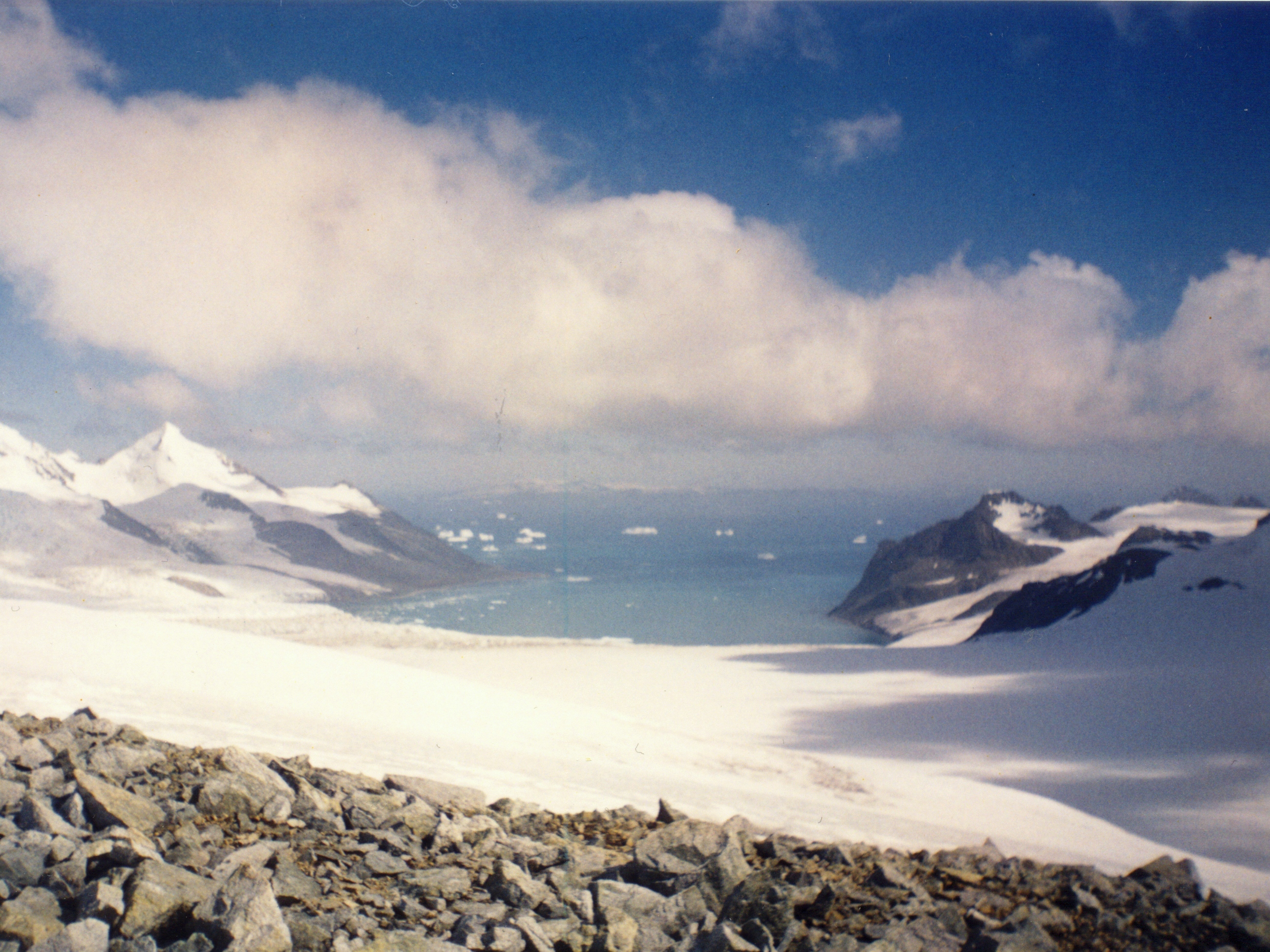
Castillo Nunatak is a conspicuous rocky peak rising to 437 m on the glacial divide between Huntress Glacier and Balkan Snowfield on Hurd Peninsula in eastern Livingston Island in the South Shetland Islands, Antarctica. It is linked to Charrúa Ridge to the west Charrúa Gap and, via Willan Nunatak and Willan Saddle, to Burdick Ridge to the east-northeast. Castillo Nunatak is a prominent landmark in the Charrúa Gap area. The feature is descriptively named for its abrupt and isolated appearance ('Castle Nunatak' in Spanish). Location The peak is located at which is 860 m west of Willan Nunatak, 2.5 km northeast of Napier Peak Napier Peak is the partly ice-free peak rising to 380 m on Hurd Peninsula, Livingston Island in the South Shetland Islands, Antarctica. It is linked to Charrúa Gap to the north by a 1.5 km ice-covered col, and by an ice-covered saddle to ..., 2,9 km east of Charrúa Ridge and 2.8 km east-southeast of Krum Rock. Detailed Spanish ... [...More Info...] [...Related Items...] OR: [Wikipedia] [Google] [Baidu] |
Charrúa Gap
Charrúa Gap (Sedlovina Charrúa \se-dlo-vi-'na cha-'ru-a\) is a flat ice-covered saddle extending in east-west direction between Castillo Nunatak and Charrúa Ridge on Hurd Peninsula, eastern Livingston Island at an elevation of . The gap separates the glacial catchments of Balkan Snowfield and Contell Glacier to the north and Huntress Glacier and Johnsons Glacier. The glacial catchments of the last two glaciers are separated by a nameless ice-covered saddle extending between the midpoint of Charrúa Gap to the north and Napier Peak () to the south. A small nameless lake is ice-dammed in a deep hollow to the east of Charrúa Ridge. The feature takes its name from the adjacent Charrúa Ridge. The Charrúa Gap is part of several overland routes, for example between the Bulgarian base and the Spanish base, from the Bulgarian base to the southern region of Hurd Peninsula and from the Spanish base to Burdick Ridge, Friesland Ridge and Bowles Ridge areas. The gap was mapped ... [...More Info...] [...Related Items...] OR: [Wikipedia] [Google] [Baidu] |
Napier Peak
Napier Peak is the partly ice-free peak rising to 380 m on Hurd Peninsula, Livingston Island in the South Shetland Islands, Antarctica. It is linked to Charrúa Gap to the north by a 1.5 km ice-covered col, and by an ice-covered saddle to Mirador Hill to the south-southwest, and surmounts Johnsons Glacier to the northwest and west, Huntress Glacier to the east, and False Bay to the south. The feature is named after Captain William Napier, Master of the schooner ''Venus'', from New York, who visited the South Shetland Islands in 1820–21. Location The peak is located at which is 2.05 km southeast of Charrúa Ridge, 3.21 km southwest of Willan Nunatak, 6.79 km northwest of St. Cyril Peak and 2.2 km north-northeast of Moores Peak (Spanish mapping in 1991, and Bulgarian in 1996, 2005 and 2009). Maps Isla Livingston: Península Hurd.Mapa topográfico de escala 1:25000. Madrid: Servicio Geográfico del Ejército, 1991. (Map reproduced on p. 16 of the ... [...More Info...] [...Related Items...] OR: [Wikipedia] [Google] [Baidu] |
Burdick Ridge
Burdick Ridge is a ridge rising to an elevation of on Livingston Island in the South Shetland Islands. Extending for between Orpheus Gate in the southeast and Rezen Saddle in the northwest, it is bounded by Perunika Glacier to the northeast and Balkan Snowfield to the southwest. It takes its name from its highest point, Burdick Peak Burdick Peak is the summit of Burdick Ridge rising to 773 m southwest of Mount Bowles on Livingston Island in the South Shetland Islands, Antarctica. It was named by the UK Antarctic Place-names Committee in 1958 for Christopher Burdick Christo .... It was first ascended by the Bulgarian Kuzman Tuhchiev from St. Kliment Ohridski Base during the 1993–94 season. Maps Isla Livingston: Península Hurd.Mapa topográfico de escala 1:25000. Madrid: Servicio Geográfico del Ejército, 1991. (Map reproduced on p. 16 of the linked work) * L.L. Ivanov et al. Antarctica: Livingston Island and Greenwich Island, South Shetland Islands. Scale 1:100000 ... [...More Info...] [...Related Items...] OR: [Wikipedia] [Google] [Baidu] |
Willan Saddle
Willan Saddle (Sedlovina Willan \se-dlo-vi-'na 'wi-l&n\) is a flat, crescent-shaped and ice-covered saddle extending 1 km in the northeast–southwest direction between Burdick South Peak and Willan Nunatak in eastern Livingston Island in the South Shetland Islands, Antarctica. The saddle has an elevation of 400 m and is part of the overland route between Balkan Snowfield and Charrúa Gap in the west and Orpheus Gate in the east, thus providing access from the Bulgarian Base and the Spanish Base to the interior of eastern Livingston Island. The feature takes its name from the adjacent Willan Nunatak. Location The saddle's midpoint is located at (Mapped in detail by the Spanish Servicio Geográfico del Ejército in 1991, Bulgarian topographic surveys in 1995/96 and 2004/05, and mapping in 1996, 2005 and 2009). Maps South Shetland Islands.Scale 1:200000 topographic map. DOS 610 Sheet W 62 60. Tolworth, UK, 1968. Isla Livingston: Península Hurd.Mapa topográfico de esca ... [...More Info...] [...Related Items...] OR: [Wikipedia] [Google] [Baidu] |
Willan Nunatak
Willan Nunatak is an ice-free tipped peak rising to 449 m on the glacial divide between Huntress Glacier and Balkan Snowfield on Hurd Peninsula in eastern Livingston Island in the South Shetland Islands, Antarctica. It is linked to Burdick South Peak to the northeast by Willan Saddle and, via Castillo Nunatak and Charrúa Gap, to Charrúa Ridge to the west. The nunatak is named after the British geologist Robert Charles Richard Willan (b. 1952) who has carried out field work in the area. Location The peak is located at which is 890 m east of Castillo Nunatak, 4.66 km east-southeast of Sinemorets Hill, 2.36 km south-southwest of Burdick Peak, 2.48 km west-southwest of Pliska Peak, 4.96 km west-northwest of Mount Friesland, 4.63 km north-northwest of Stambolov Crag and 3.21 km northeast of Napier Peak. British mapping in 1968, Spanish in 1991, and Bulgarian topographic survey in 1995/96 and mapping in 1996, 2005 and 2009. Maps South Shetland ... [...More Info...] [...Related Items...] OR: [Wikipedia] [Google] [Baidu] |
Charrúa Ridge
Charrúa Ridge is an ice-free rocky ridge rising to along the northeast coast of Johnsons Dock in Hurd Peninsula, Livingston Island, in the South Shetland Islands, Antarctica. It is narrow and precipitous, extending in a west-northwest to east-southeast direction, with triple heights of elevation 322, 333 and 332 m respectively, and linked to Castillo Nunatak by Charrúa Gap. It surmounts Contell Glacier to the north, South Bay to the west, Johnsons Dock to the southwest and Johnsons Glacier to the south. It forms a prominent landmark in the area between the Spanish Antarctic base Juan Carlos I and the Bulgaria Bulgaria (; bg, България, Bǎlgariya), officially the Republic of Bulgaria,, ) is a country in Southeast Europe. It is situated on the eastern flank of the Balkans, and is bordered by Romania to the north, Serbia and North Macedon ...n Antarctic base St. Kliment Ohridski Base, St. Kliment Ohridski. The feature is named after the ''Charrúa'', one of t ... [...More Info...] [...Related Items...] OR: [Wikipedia] [Google] [Baidu] |
Antarctica
Antarctica () is Earth's southernmost and least-populated continent. Situated almost entirely south of the Antarctic Circle and surrounded by the Southern Ocean, it contains the geographic South Pole. Antarctica is the fifth-largest continent, being about 40% larger than Europe, and has an area of . Most of Antarctica is covered by the Antarctic ice sheet, with an average thickness of . Antarctica is, on average, the coldest, driest, and windiest of the continents, and it has the highest average elevation. It is mainly a polar desert, with annual precipitation of over along the coast and far less inland. About 70% of the world's freshwater reserves are frozen in Antarctica, which, if melted, would raise global sea levels by almost . Antarctica holds the record for the lowest measured temperature on Earth, . The coastal regions can reach temperatures over in summer. Native species of animals include mites, nematodes, penguins, seals and tardigrades. Where vegetation o ... [...More Info...] [...Related Items...] OR: [Wikipedia] [Google] [Baidu] |


