|
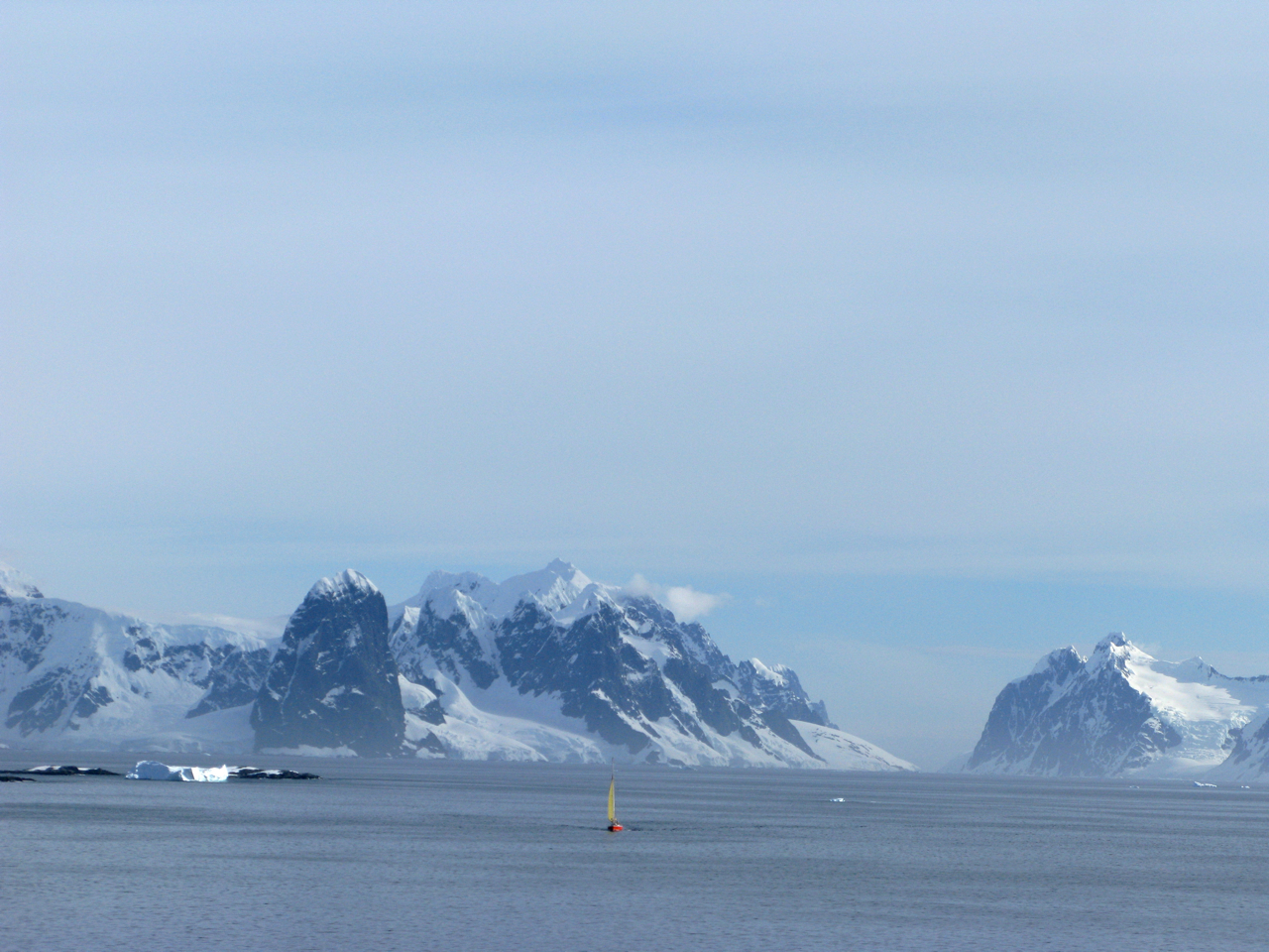
Cape Renard
Cape Renard () is a cape forming the south side of the entrance to Flandres Bay and separating the Danco Coast, Danco and Graham Coasts on the west coast of Antarctic Peninsula. Situated on the minor Renard Island just off the north extremity of Kyiv Peninsula, and surmounted by Una's Peaks. Discovered in 1898 by the Belgian Antarctic Expedition under Gerlache and named by him for Professor Alphonse François Renard, A. Renard, a member of the Belgica Commission and of the Belgian Royal Academy. Azufre Point lies about 3 miles (5 km) southeast. Maps Antarctic Digital Database (ADD).Scale 1:250000 topographic map of Antarctica. Scientific Committee on Antarctic Research (SCAR). Since 1993, regularly upgraded and updated. See also * List of lighthouses in Antarctica References Cape Renard.SCAR Composite Gazetteer of Antarctica [...More Info...] [...Related Items...] OR: [Wikipedia] [Google] [Baidu] |
Flandres Bay
Flandres Bay is a large bay lying between Cape Renard and Cape Willems, along the west coast of Graham Land, Antarctica. It was explored in 1898 by the Belgian Antarctic Expedition under Gerlache, who named it, probably after the historical area of Flanders Flanders (, ; Dutch: ''Vlaanderen'' ) is the Flemish-speaking northern portion of Belgium and one of the communities, regions and language areas of Belgium. However, there are several overlapping definitions, including ones related to cultu .... References Bays of Graham Land Danco Coast {{DancoCoast-geo-stub ... [...More Info...] [...Related Items...] OR: [Wikipedia] [Google] [Baidu] |
