|
California Chaparral And Woodlands
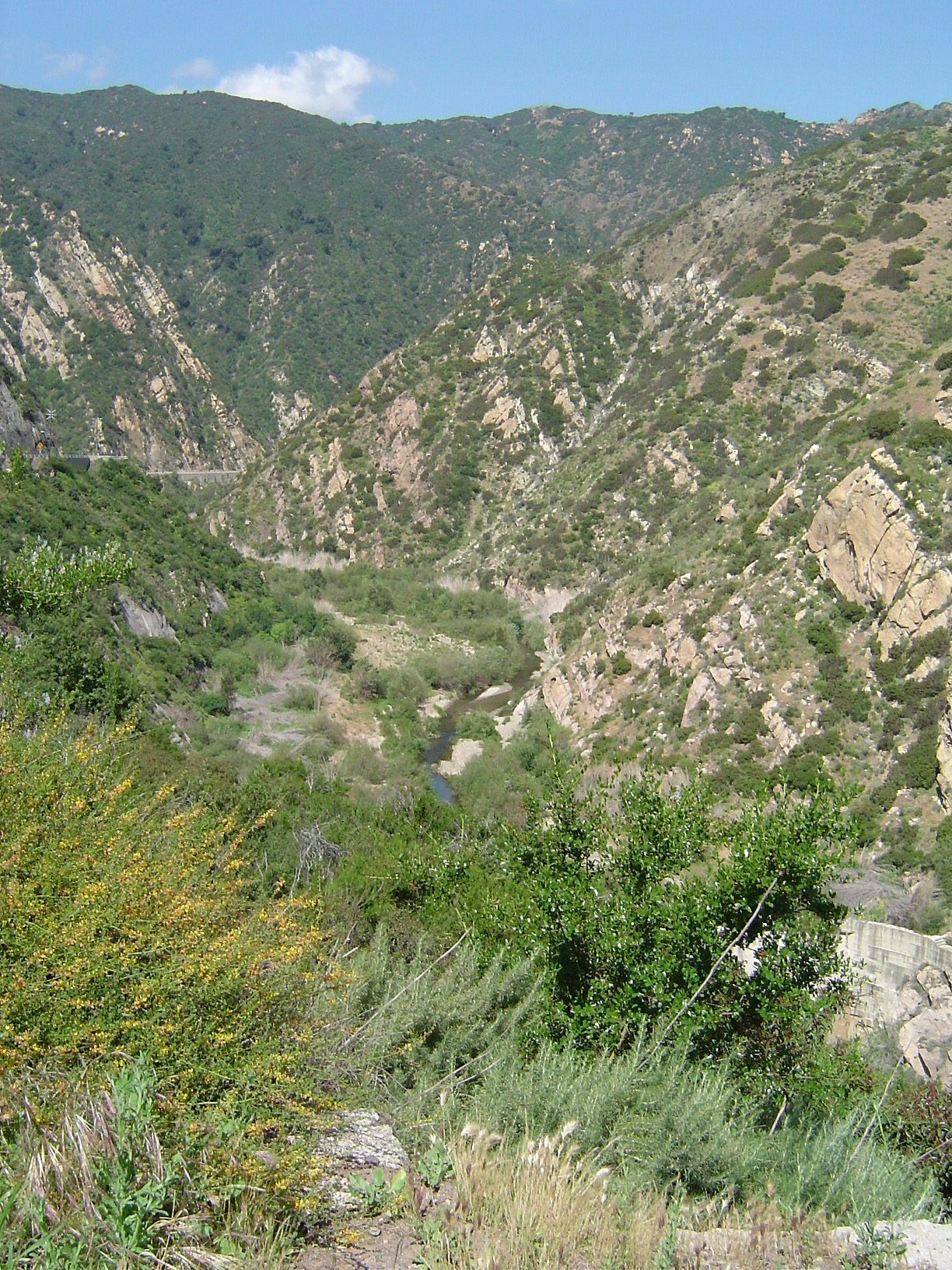
The California chaparral and woodlands is a terrestrial ecoregion of southwestern Oregon, northern, central, and southern California ( United States) and northwestern Baja California ( Mexico), located on the west coast of North America. It is an ecoregion of the Mediterranean forests, woodlands, and scrub biome, and part of the Nearctic realm. Setting Three sub-ecoregions The California chaparral and woodlands ecoregion is subdivided into three smaller ecoregions. * California coastal sage and chaparral ecoregion: In southern coastal California and northwestern coastal Baja California, as well as all the Channel Islands of California and Guadalupe Island. * California montane chaparral and woodlands: In southern and central coast adjacent and inland California, covering some of the mountains of: the Coast Ranges; the Transverse Ranges; and the western slopes of the northern Peninsular Ranges. * California interior chaparral and woodlands: In central interior Califor ... [...More Info...] [...Related Items...] OR: [Wikipedia] [Google] [Baidu] |
Nearctic Realm
The Nearctic realm is one of the eight biogeographic realms constituting the Earth's land surface. The Nearctic realm covers most of North America, including Greenland, Central Florida, and the highlands of Mexico. The parts of North America that are not in the Nearctic realm are Eastern Mexico, Southern Florida, coastal Central Florida, Central America, and the Caribbean islands, which, together with South America, are part of the Neotropical realm. Major ecological regions The World Wildlife Fund (WWF) divides the Nearctic into four bioregions, defined as "geographic clusters of ecoregions that may span several habitat types, but have strong biogeographic affinities, particularly at taxonomic levels higher than the species level (genus, family)." Canadian Shield The Canadian Shield bioregion extends across the northern portion of the continent, from the Aleutian Islands to Newfoundland and Labrador, Newfoundland. It includes the Nearctic's Arctic Tundra and Boreal forest e ... [...More Info...] [...Related Items...] OR: [Wikipedia] [Google] [Baidu] |
Peninsular Ranges
The Peninsular Ranges (also called the Lower California province) are a group of mountain ranges that stretch from Southern California to the southern tip of the Baja California peninsula; they are part of the North American Coast Ranges, which run along the Pacific Coast from Alaska to Mexico. Elevations range from . Geography The Peninsular Ranges include the Santa Ana Mountains, Temescal and other mountains and ranges of the Perris Block, San Jacinto and Laguna ranges of southern California continuing from north to south with the Sierra de Juárez, Sierra de San Pedro Mártir, Sierra de San Borja, Sierra de San Francisco, Sierra de la Giganta, and Sierra de la Laguna in Baja California. Palomar Mountain, home to Palomar Observatory, is in the Peninsular Ranges in San Diego County, as are Viejas Mountain and the San Ysidro Mountains. The Peninsular ranges run predominantly north-south, unlike the Transverse Ranges to their north, which mostly run east-west. G ... [...More Info...] [...Related Items...] OR: [Wikipedia] [Google] [Baidu] |
Northern California Coastal Forests
The Northern California coastal forests are a temperate coniferous forests ecoregion of coastal Northern California and southwestern Oregon. Setting The ecoregion covers , extending from just north of the California-Oregon border south, to southern Monterey County. The ecoregion rarely extends more than 65 km inland from the coast, narrower in the southernmost parts of the ecoregion. The ecoregion is a sub-ecoregion of the Pacific temperate rain forests ecoregion, which extends up the Pacific Coast to Kodiak Island in Alaska. The ecoregion lies close to the Pacific Ocean, and is kept moist by Pacific Ocean storms during the winter months, and by coastal fogs in the summer months. These factors keep the ecoregion cooler in the summer and warmer in the winter, as compared to ecoregions further inland. The ecoregion is also defined by the distribution of the Coast Redwood (''Sequoia sempervirens''), with isolated groves located in protected canyons as far south as Redwood Gulch ... [...More Info...] [...Related Items...] OR: [Wikipedia] [Google] [Baidu] |
Sierra Nevada Forests
Sierra (Spanish for "mountain range" and " saw", from Latin ''serra'') may refer to the following: Places Mountains and mountain ranges * Sierra de Juárez, a mountain range in Baja California, Mexico * Sierra de las Nieves, a mountain range in Andalusia, Spain * Sierra Madre (other), various mountain ranges ** Sierra Madre (Philippines), a mountain range in the east of Luzon, Philippines * Sierra mountains (other) * Sierra Nevada, a mountain range in the U.S. states of California and Nevada * Sierra Nevada (Spain), a mountain range in Andalusia, Spain * Sierra de San Pedro Mártir, a mountain range in Baja California, Mexico * Sierra Maestra, a mountain range in Cuba Other places Africa * Sierra Leone, a country located on the coast of West Africa Asia * Sierra Bullones, Bohol, Philippines Europe * Sierra Nevada National Park (Spain), Andalusia, Spain * Sierra Nevada Observatory, Granada, Spain North America * High Sierra Trail, California, United Stat ... [...More Info...] [...Related Items...] OR: [Wikipedia] [Google] [Baidu] |
California Central Valley Grasslands
The California Central Valley grasslands is a temperate grasslands, savannas, and shrublands ecoregion in California's Central Valley. It a diverse ecoregion containing areas of desert grassland (at the southern end), prairie, savanna, riparian forest, marsh, several types of seasonal vernal pools, and large lakes such as now-dry Tulare Lake (which was the largest freshwater lake in the United States west of the Mississippi), Buena Vista Lake, and Kern Lake. The Central Valley has been greatly altered by human activity. Most of the land has been converted to farms, pastureland, or cities. Most of the valley's wetlands have been drained. The introduction of exotic plants, especially grasses, has altered the region's ecology. Geography The ecoregion covers an area of 46,275 km. It extends north–south through California's Central Valley. The valley is ringed with mountains – the Sierra Nevada to the east, and the Coast Ranges to the west. The grasslands ecoregion oc ... [...More Info...] [...Related Items...] OR: [Wikipedia] [Google] [Baidu] |
Ensenada, Baja California
Ensenada is a city in Ensenada Municipality, Baja California, situated on the Pacific Coast of Mexico. Located on the Bahía de Todos Santos, the city had a population of 279,765 in 2018, making it the third-largest city in Baja California. The city is an important international trade center and home to the Port of Ensenada, the second-busiest port in Mexico. Ensenada is a major tourist destination, owing to its warm Mediterranean climate and proximity to the Pacific Ocean, and is commonly known as ''La Cenicienta del Pacífico'' ("The Cinderella of the Pacific"). Ensenada was founded in 1882, when the small community of Rancho Ensenada de Todos Santos was made the regional capital for the northern partition of the Baja California Territory. The city grew significantly with the proliferation of mines in the surrounding mountains. While the Mexican Revolution curtailed much of Ensenada's expansion, the onset of Prohibition in the United States transformed the city into a po ... [...More Info...] [...Related Items...] OR: [Wikipedia] [Google] [Baidu] |
Tijuana
Tijuana ( ,"Tijuana" (US) and ), known also by the initials T.J., is a city and municipal seat of Tijuana Municipality, , located on the Pacific Coast of Mexico. It is part of the San Diego-Tijuana metro area and the larger [...More Info...] [...Related Items...] OR: [Wikipedia] [Google] [Baidu] |
San Diego County, California
San Diego County (), officially the County of San Diego, is a county in the southwestern corner of the U.S. state of California. As of the 2020 census, the population was 3,298,634, making it California's second-most populous county and the fifth-most populous in the United States. Its county seat is San Diego, the second-most populous city in California and the eighth-most populous city in the United States. It is the southwesternmost county in the 48 contiguous United States, and is a border county. It is also home to 18 Native American tribal reservations, the most of any county in the United States. San Diego County comprises the San Diego-Chula Vista-Carlsbad, CA Metropolitan Statistical Area, which is the 17th most populous metropolitan statistical area and the 18th most populous primary statistical area of the United States as of July 1, 2012. San Diego County is also part of the San Diego–Tijuana transborder metropolitan area, the largest metropolitan area s ... [...More Info...] [...Related Items...] OR: [Wikipedia] [Google] [Baidu] |
Greater Los Angeles Area
Greater Los Angeles is the second-largest metropolitan region in the United States with a population of 18.5 million in 2021, encompassing five counties in Southern California extending from Ventura County in the west to San Bernardino County and Riverside County in the east, with Los Angeles County in the center and Orange County to the southeast. According to the U.S. Census Bureau, the Los Angeles–Anaheim–Riverside combined statistical area covers , making it the largest metropolitan region in the United States by land area. Of this, the contiguous urban area is , the remainder mostly consisting of mountain and desert areas. In addition to being the nexus of the global entertainment industry (films, television, and recorded music), Greater Los Angeles is also an important center of international trade, education, media, business, tourism, technology, and sports. It is the 3rd largest metropolitan area by nominal GDP in the world with an economy exceeding $1 tr ... [...More Info...] [...Related Items...] OR: [Wikipedia] [Google] [Baidu] |
Ventura County, California
Ventura County () is a county in the southern part of the U.S. state of California. As of the 2020 census, the population was 843,843. The largest city is Oxnard, and the county seat is the city of Ventura. Ventura County comprises the Oxnard–Thousand Oaks–Ventura, CA Metropolitan Statistical Area, which is part of the Greater Los Angeles area (Los Angeles-Long Beach, CA Combined Statistical Area). It is also considered the southernmost county along the California Central Coast. Two of the Channel Islands are part of the county: Anacapa Island, which is the most visited island in Channel Islands National Park, and San Nicolas Island. History Pre-colonial period Ventura County was historically inhabited by the Chumash people, who also settled much of Santa Barbara and San Luis Obispo Counties, with their presence dating back 10,000–12,000 years. The Chumash were hunter-gatherers, fishermen, and also traders with the Mojave, Yokuts, and Tongva Indians. The Chu ... [...More Info...] [...Related Items...] OR: [Wikipedia] [Google] [Baidu] |
San Francisco Bay Area
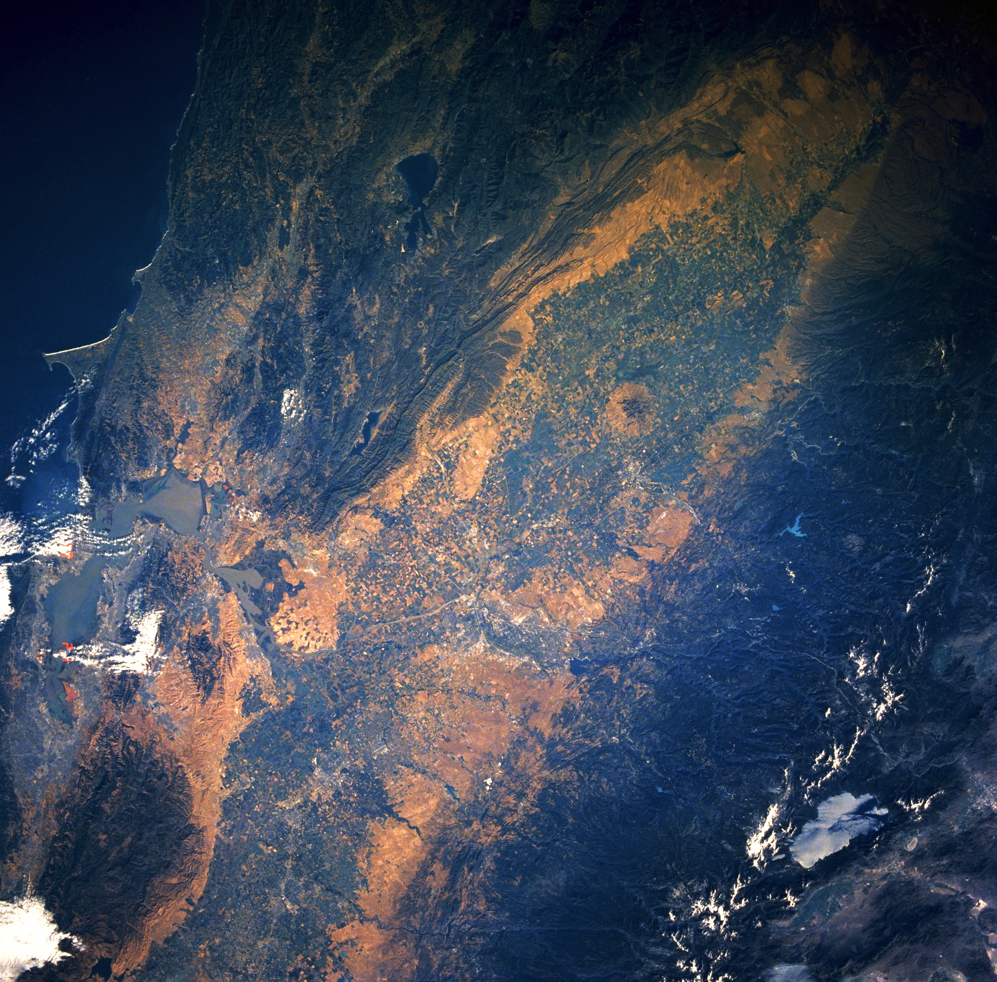
The San Francisco Bay Area, often referred to as simply the Bay Area, is a populous region surrounding the San Francisco, San Pablo, and Suisun Bay estuaries in Northern California. The Bay Area is defined by the Association of Bay Area Governments to include the nine counties that border the aforementioned estuaries: Alameda, Contra Costa, Marin, Napa, San Mateo, Santa Clara, Solano, Sonoma, and San Francisco. Other definitions may be either smaller or larger, and may include neighboring counties that do not border the bay such as Santa Cruz and San Benito (more often included in the Central Coast regions); or San Joaquin, Merced, and Stanislaus (more often included in the Central Valley). The core cities of the Bay Area are San Francisco, San Jose, and Oakland. Home to approximately 7.76 million people, Northern California's nine-county Bay Area contains many cities, towns, airports, and associated regional, state, and national parks, connected by a complex ... [...More Info...] [...Related Items...] OR: [Wikipedia] [Google] [Baidu] |


.jpg)


