|
Sherborne
Sherborne is a market town and civil parish in north west Dorset, in South West England. It is sited on the River Yeo, on the edge of the Blackmore Vale, east of Yeovil. The parish includes the hamlets of Nether Coombe and Lower Clatcombe. The A30 road, which connects London to Penzance, runs through the town. In the 2011 census the population of Sherborne parish and the two electoral wards was 9,523. 28.7% of the population is aged 65 or older. Sherborne's historic buildings include Sherborne Abbey, its manor house, independent schools, and two castles: the ruins of a 12th-century fortified palace and the 16th-century mansion known as Sherborne Castle built by Sir Walter Raleigh. Much of the old town, including the abbey and many medieval and Georgian buildings, is built from distinctive ochre-coloured ham stone. The town is served by Sherborne railway station. Toponymy The town was named ''scir burne'' by the Saxon inhabitants, a name meaning "clear stream", after a broo ... [...More Info...] [...Related Items...] OR: [Wikipedia] [Google] [Baidu] |
Sherborne Abbey
Sherborne Abbey, otherwise the Abbey Church of St. Mary the Virgin, is a Church of England church in Sherborne in the English county of Dorset. It has been a Saxon cathedral (705–1075), a Benedictine abbey church (998–1539), and since 1539, a parish church. History This site has been occupied since Roman times. During the restoration 1849–58, excavations were carried out in which part of a Roman Mosaic pavement was found deep beneath the floor, as well as evidence that the Saxon cathedral of 705AD had been built on the site of a previous church. It is possible that there was a Celtic Christian church called ''Lanprobi'' here as early as AD658, when it was part of the Celtic Kingdom of Dumnonia, and Kenwalc or Cenwalh, King of the West Saxons is believed to be one of its founders. However, it is probable that this church was actually on the site of modern-day Castleton Church. Cathedral (705–1075) and Abbey (998–1539) The Saxon Diocese of Sherborne was founded in ... [...More Info...] [...Related Items...] OR: [Wikipedia] [Google] [Baidu] |
Sherborne House, Dorset
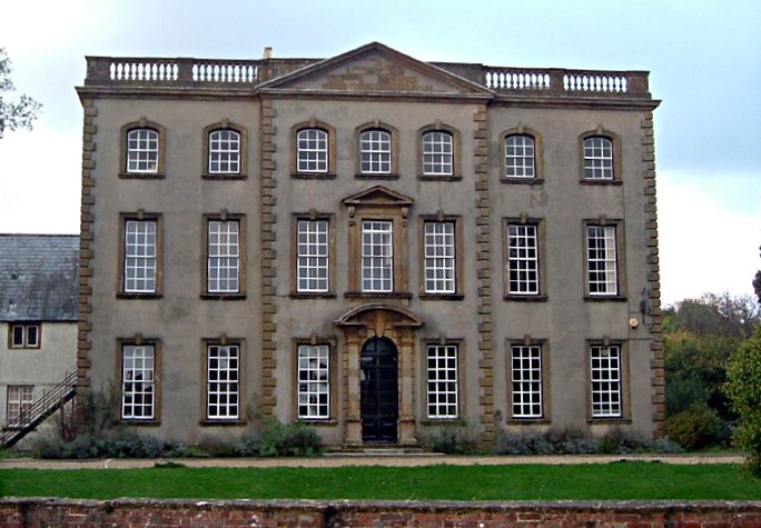
Sherborne House is a Grade I listed building. in Newland, Sherborne, Dorset, England. History Sherborne House was built c.1720 for Henry Seymour Portman as a halfway house between his properties in Somerset (Orchard Portman) and Dorset (Bryanston). John Hutchins in his 'History of Dorset' reported that the house was designed by 'Mr Bastard of Sherborne' (Benjamin Bastard), but, given the date if its building, it was more likely that the Bastard company of Blandford Forum only provided the internal joinery. Michael Hill in the Dorset edition of The Buildings of England suggests that Sir James Thornhill may have been the architect. The House, which incorporates an earlier 16th century north wing, is three storeys high and seven bays wide and rendered in stone rubble and brick with a slate roof. The staircase features a mural painted a year or two after the completion of the house by Sir James Thornhill, which depicts the Greek mythological characters Meleager, Atalanta an ... [...More Info...] [...Related Items...] OR: [Wikipedia] [Google] [Baidu] |
Sherborne Castle
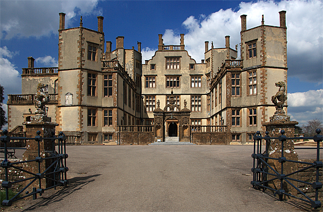
Sherborne Castle is a 16th-century Tudor mansion southeast of Sherborne in Dorset, England, within the parish of Castleton. It stands in a park which formed a small part of the Digby estate. Old castle Sherborne Old Castle () is the ruin of a 12th-century castle in the grounds of the mansion. The castle was built as the fortified palace of Roger de Caen, Bishop of Salisbury and Chancellor of England, and still belonged to the church in the late 16th century. In the early 1140s, the castle was captured by Robert Earl of Gloucester during the Anarchy, when it was considered, "the master-key of the whole kingdom". After passing through Sherborne on the way to Plymouth, Sir Walter Raleigh fell in love with the castle, and Queen Elizabeth relinquished the estate, leasing it to Raleigh in 1592. Rather than refurbish the old castle, Raleigh decided to construct a new lodging for temporary visits, in the compact form for secondary habitations of the nobility and gentry, often ar ... [...More Info...] [...Related Items...] OR: [Wikipedia] [Google] [Baidu] |
Sherborne Railway Station
Sherborne railway station serves the town of Sherborne in Dorset, England. It is situated on the West of England Main Line, down the line from and is currently operated by South Western Railway. History The station was opened by the Salisbury and Yeovil Railway (S&YR) on 7 May 1860, when the company extended its line from Gillingham to Sherborne. A level crossing across the line was at the east end of the platforms, and the goods yard with a goods shed at the west end; this and the main buildings were on the north side of the line to be nearer the town. Another siding on the other side of the line served the town’s gas works which had been established in 1836. A signal box was erected on the east side of the level crossing and to the south of the line in 1875.The S&YR never operated any trains, instead they were provided by the London and South Western Railway, which bought out the S&YR in 1878. In 1923 this became part of the Southern Railway, which in turn was natio ... [...More Info...] [...Related Items...] OR: [Wikipedia] [Google] [Baidu] |
Dorset
Dorset ( ; archaically: Dorsetshire , ) is a county in South West England on the English Channel coast. The ceremonial county comprises the unitary authority areas of Bournemouth, Christchurch and Poole and Dorset (unitary authority), Dorset. Covering an area of , Dorset borders Devon to the west, Somerset to the north-west, Wiltshire to the north-east, and Hampshire to the east. The county town is Dorchester, Dorset, Dorchester, in the south. After the Local Government Act 1972, reorganisation of local government in 1974, the county border was extended eastward to incorporate the Hampshire towns of Bournemouth and Christchurch. Around half of the population lives in the South East Dorset conurbation, while the rest of the county is largely rural with a low population density. The county has a long history of human settlement stretching back to the Neolithic era. The Roman conquest of Britain, Romans conquered Dorset's indigenous Durotriges, Celtic tribe, and during the Ear ... [...More Info...] [...Related Items...] OR: [Wikipedia] [Google] [Baidu] |
Sir Walter Raleigh
Sir Walter Raleigh (; – 29 October 1618) was an English statesman, soldier, writer and explorer. One of the most notable figures of the Elizabethan era, he played a leading part in English colonisation of North America, suppressed rebellion in Ireland, helped defend England against the Spanish Armada and held political positions under Elizabeth I. Raleigh was born to a Protestant family in Devon, the son of Walter Raleigh and Catherine Champernowne. He was the younger half-brother of Sir Humphrey Gilbert and a cousin of Sir Richard Grenville. Little is known of his early life, though in his late teens he spent some time in France taking part in the religious civil wars. In his 20s he took part in the suppression of rebellion in the colonisation of Ireland; he also participated in the siege of Smerwick. Later, he became a landlord of property in Ireland and mayor of Youghal in East Munster, where his house still stands in Myrtle Grove. He rose rapidly in the favour of Quee ... [...More Info...] [...Related Items...] OR: [Wikipedia] [Google] [Baidu] |
West Dorset (constituency)
West Dorset is a constituency represented in the House of Commons of the UK Parliament since 2019 by Chris Loder, a Conservative. History The seat was created under the Redistribution of Seats Act 1885. ;Political history Only Conservative MPs have been elected in West Dorset. Historically there have mostly been large majorities; thus the seat can be considered a safe seat. The closest result in recent years was in 2001, when the then member, Oliver Letwin, only just held his seat, with a majority of 2.8% over the Liberal Democrat candidate, Simon Green. The Liberal Democrats have come second at every election since 1974. Labour's best results in the constituency were in 1945 and 1966. ;Prominent frontbenchers Oliver Letwin, with a settled background in policy formulation, was appointed Minister of State for Policy (a Cabinet Office role) in the Conservative-Liberal Democrat Coalition on 12 May 2010. He had previously served as Shadow Chancellor of the Exchequer between 2003 ... [...More Info...] [...Related Items...] OR: [Wikipedia] [Google] [Baidu] |
Yeovil
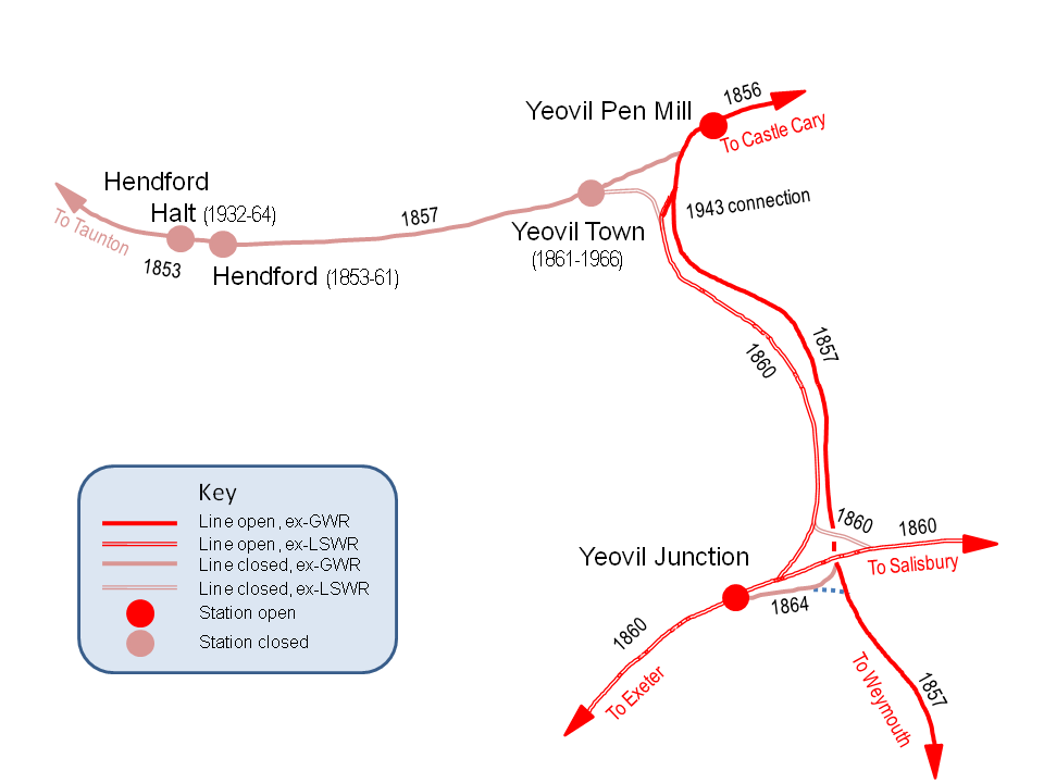
Yeovil ( ) is a town and civil parishes in England, civil parish in the district of South Somerset, England. The population of Yeovil at the last census (2011) was 45,784. More recent estimates show a population of 48,564. It is close to Somerset's southern border with Dorset, from London, south of Bristol, from Sherborne and from Taunton. The aircraft and defence industries which developed in the 20th century made it a target for bombing in the Second World War; they are still major employers. Yeovil Country Park, which includes Ninesprings, is one of several open spaces with educational, cultural and sporting facilities. Religious sites include the 14th-century Church of St John the Baptist, Yeovil, Church of St John the Baptist. The town is on the A30 road, A30 and A37 road, A37 roads and has two railway stations. History Archaeological surveys have yielded Palaeolithic burial and settlement sites mainly to the south of the modern town, particularly in Hendford, where a ... [...More Info...] [...Related Items...] OR: [Wikipedia] [Google] [Baidu] |
River Yeo (South Somerset)
The River Yeo, also known as the River Ivel, is a tributary of the River Parrett in north Dorset and south Somerset, England. The river's names derive from the Celtic river-name ''gifl'' 'forked river'. The name Yeo appears to have been influenced by Old English ''ēa'' 'river'. The river rises in the North Dorset Downs region. It flows through the town of Sherborne and Sherborne Lake in north Dorset, and the Somerset towns of Yeovil, Yeovilton and Ilchester, to which it gives its name, and joins the River Parrett near Langport. For a few miles east of Yeovil, it forms the county boundary between Somerset and Dorset. The river is navigable for light craft for from the Parrett to Ilchester. The Yeo's tributaries include the River Gascoigne, which rises near Milborne Wick and joins the Yeo near Sherborne, the River Wriggle, Trent Brook, Hornsey Brook, the River Cam and Bearley Brook. References External links {{DEFAULTSORT:Yeo (South Somerset) Yeo Yeo Yeo is a C ... [...More Info...] [...Related Items...] OR: [Wikipedia] [Google] [Baidu] |
Blackmore Vale
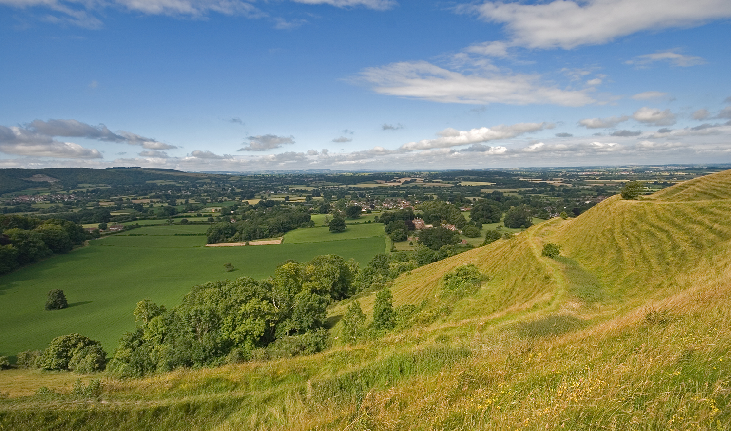
The Blackmore Vale (; less commonly spelt ''Blackmoor'') is a vale, or wide valley, in north Dorset, and to a lesser extent south Somerset and southwest Wiltshire in southern England. Geography The vale is part of the Stour valley, part of the Dorset AONB and part of the natural region known as the Blackmoor Vale and Vale of Wardour. To the south and east, the vale is clearly delimited by the steep escarpments of two areas of higher chalk downland, the Dorset Downs to the south, and Cranborne Chase to the east. To the north and west, the definitions of the vale are more ambiguous, as the landscape changes more gradually around the upper reaches of the Stour and its tributaries. One definition places the boundary along the watershed between the Stour and neighbouring valleys of the Yeo to the west and Brue to the north. A narrower definition places the limits of the vale close to the county boundary and villages like Bourton, where the landscape transitions to hillier greensa ... [...More Info...] [...Related Items...] OR: [Wikipedia] [Google] [Baidu] |
A30 Road
The A30 is a major road in England, running WSW from London to Land's End. The road has been a principal axis in Britain from the 17th century to early 19th century, as a major coaching route. It used to provide the fastest route from London to the South West by land until a century before roads were numbered; nowadays much of this function is performed by the M3 (including A316) and A303 roads. The road has kept its principal status in the west from Honiton, Devon to Land's End where it is mainly dual carriageway and retains trunk road status. Route London to Honiton The A30 begins at Henlys Roundabout, where the route stems from the A4 near Hounslow. It crosses the A312 before running south of the Southern Perimeter Road, Heathrow Airport and north of Ashford and Staines-upon-Thames, before reaching the M25 motorway orbital motorway. This first section is entirely dual carriageway. Taken with the A4, its natural continuation which nearby becomes non-dualled towards t ... [...More Info...] [...Related Items...] OR: [Wikipedia] [Google] [Baidu] |
Wessex
la, Regnum Occidentalium Saxonum , conventional_long_name = Kingdom of the West Saxons , common_name = Wessex , image_map = Southern British Isles 9th century.svg , map_caption = Southern Britain in the ninth century , event_start = Established , year_start = 519 , event_end = English unification , year_end = 12 July 927 , event1 = , date_event1 = , event_pre = Settlement , date_pre = 5th–6th century , event_post = Norman conquest , date_post = 14 October 1066 , border_s2 = no , common_languages = Old English *West Saxon dialect British Latin , religion = PaganismChristianity , leader1 = Cerdic (first) , leader2 = Ine , leader3 = Ecgberht , leader4 = Alfred the Great , leader5 ... [...More Info...] [...Related Items...] OR: [Wikipedia] [Google] [Baidu] |


