|
Ramsar Sites In Russia
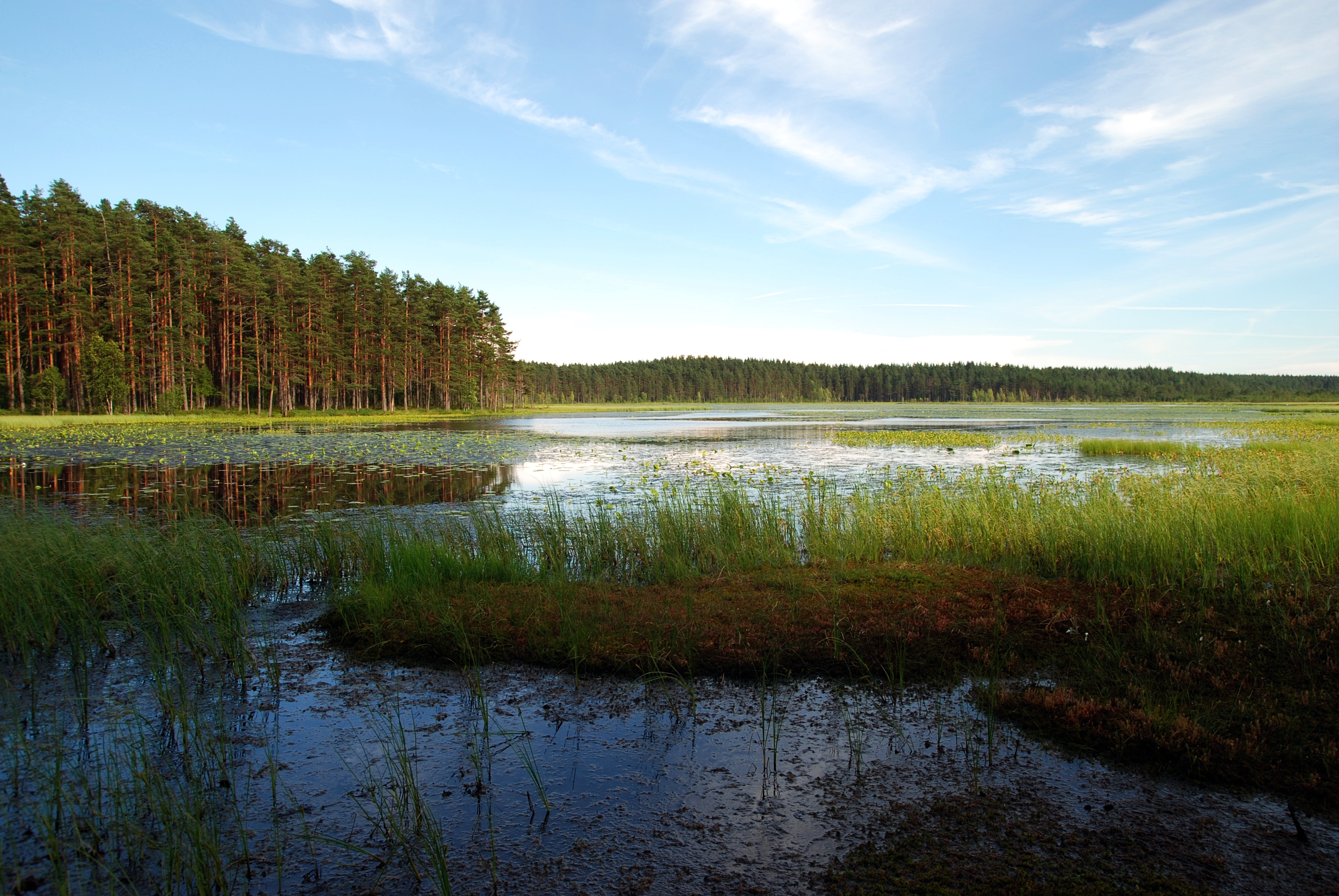
Ramsar sites are natural locations under the protection of the Ramsar Convention for the conservation and sustainable utilization of wetlands. As of March 2013 there were 35 Ramsar sites in Russia, totalling an area of . The first Russian sites registered in the Ramsar Convention, on 11 October 1976 (during the Soviet era), were Kandalaksha Bay Lake Khanka and the Volga River delta. List of Ramsar sites in Russia Classification codes for Ramsar wetland types * Ramsar classification codes are listed for each site in descending order of area cover at the site. See also * Ramsar Convention * List of Ramsar sites worldwide References {{reflist, 30em External links The Ramsar Convention on WetlandsUnited States National Ramsar Committee __NOTOC__ Ramsar Russia Ramsar Ramsar may refer to: * Places so named: ** Ramsar, Mazandaran, city in Iran ** Ramsar, Rajasthan, village in India * Eponyms of the Iranian city: ** Ramsar Convention concerning wetlands, signed in Ramsar, ... [...More Info...] [...Related Items...] OR: [Wikipedia] [Google] [Baidu] |
Ramsar Convention
The Ramsar Convention on Wetlands of International Importance Especially as Waterfowl Habitat is an international treaty for the conservation and sustainable use of Ramsar sites (wetlands). It is also known as the Convention on Wetlands. It is named after the city of Ramsar in Iran, where the convention was signed in 1971. Every three years, representatives of the contracting parties meet as the Conference of the Contracting Parties (COP), the policy-making organ of the convention which adopts decisions (resolutions and recommendations) to administer the work of the convention and improve the way in which the parties are able to implement its objectives. COP12 was held in Punta del Este, Uruguay, in 2015. COP13 was held in Dubai, United Arab Emirates, in October 2018. List of wetlands of international importance The list of wetlands of international importance included 2,331 Ramsar sites in May 2018 covering over . The countries with most sites are the United Kingdo ... [...More Info...] [...Related Items...] OR: [Wikipedia] [Google] [Baidu] |
Onega Bay
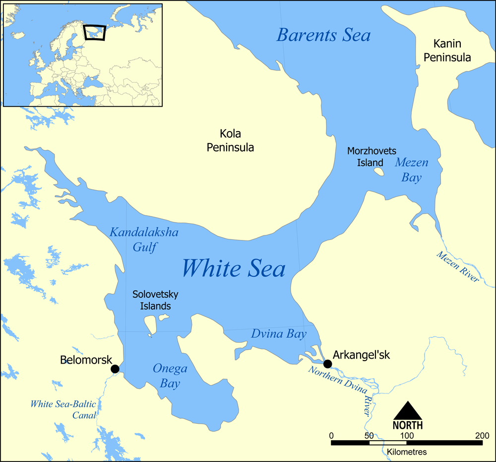
The Onega Bay (russian: Онежская губа, Онежский залив) is located in the Republic of Karelia and Arkhangelsk Oblast in Northwestern Russia, west of the city of Arkhangelsk. It is the southernmost of four large bays and gulfs of the White Sea, the others being the Dvina Bay, the Mezen Bay, and the Kandalaksha Gulf. The area of the bay is . The Onega Bay is long and - wide. The average depth of the bay is , and the maximum depth is . The bay freezes in winter. Onega, Kem, and Vyg Rivers flow into the bay. The bay has numerous islands. Solovetsky Islands, which are the largest and the most famous, are located on the entrance to the bay and separate it from the main body of the White Sea. Along the west coast, there are hundreds of small islands (russian: луда, luda's). The biggest of these are Shuyostrov Island, Russky Kuzov Island, Myagostrov Island, Kondostrov Island, and Sumostrov Island. The group of islands around Kondostrov Island are coll ... [...More Info...] [...Related Items...] OR: [Wikipedia] [Google] [Baidu] |
Yamalo-Nenetsia
The Yamalo-Nenets Autonomous Okrug (YaNAO; russian: Яма́ло-Не́нецкий автоно́мный о́круг (ЯНАО), ; yrk, Ямалы-Ненёцие автономной ӈокрук, ) or Yamalia (russian: Ямалия) is a federal subject of Russia and an autonomous okrug of Tyumen Oblast. Its administrative center is the town of Salekhard, and its largest city is Noyabrsk. The 2010 Russian Census recorded its population as 522,904. The Autonomous Okrug borders Krasnoyarsk Krai to the east, Khanty-Mansi Autonomous Okrug to the south, Nenets Autonomous Okrug and Komi Republic to the west. Geography and natural history The West Siberian petroleum basin is the largest hydrocarbon (petroleum and natural gas) basin in the world covering an area of about 2.2 million km2, and is also the largest oil and gas producing region in Russia. The Nenets people are an indigenous tribe who have long survived in this region. Their prehistoric life involved subsistence hunting ... [...More Info...] [...Related Items...] OR: [Wikipedia] [Google] [Baidu] |
Ob River
} The Ob ( rus, Обь, p=opʲ: Ob') is a major river in Russia. It is in western Siberia; and together with Irtysh forms the world's List of rivers by length, seventh-longest river system, at . It forms at the confluence of the Biya (river), Biya and Katun (river), Katun which have their origins in the Altai Mountains. It is the westernmost of the three great Siberian rivers that flow into the Arctic Ocean (the other two being the Yenisei and the Lena River, Lena). Its flow is north-westward, then northward. The main city on its banks is Novosibirsk, the largest city in Siberia, and the List of cities and towns in Russia by population, third-largest city in Russia. It is where the Trans-Siberian Railway crosses the river. The Gulf of Ob is the world's longest estuary. Names The internationally known name of the river is based on the Russian name ''Обь'' (''Obʹ'' ). Possibly from Proto-Indo-Iranian language, Proto-Indo-Iranian ''Ap (water), *Hā́p-'', "river, water" (compare ... [...More Info...] [...Related Items...] OR: [Wikipedia] [Google] [Baidu] |
Kazakhstan
Kazakhstan, officially the Republic of Kazakhstan, is a transcontinental country located mainly in Central Asia and partly in Eastern Europe. It borders Russia to the north and west, China to the east, Kyrgyzstan to the southeast, Uzbekistan to the south, and Turkmenistan to the southwest, with a coastline along the Caspian Sea. Its capital is Astana, known as Nur-Sultan from 2019 to 2022. Almaty, Kazakhstan's largest city, was the country's capital until 1997. Kazakhstan is the world's largest landlocked country, the largest and northernmost Muslim-majority country by land area, and the ninth-largest country in the world. It has a population of 19 million people, and one of the lowest population densities in the world, at fewer than 6 people per square kilometre (15 people per square mile). The country dominates Central Asia economically and politically, generating 60 percent of the region's GDP, primarily through its oil and gas industry; it also has vast mineral ... [...More Info...] [...Related Items...] OR: [Wikipedia] [Google] [Baidu] |
Lacustrine Plain
A lacustrine plain or lake plain is a plain formed due to the past existence of a lake and its accompanying sediment accumulation. Lacustrine plains can be formed through one of three major mechanisms: glacial drainage, differential uplift, and inland lake creation and drainage. Lake plains can have various uses depending on where and how they form. Over time, in regions where a lake once existed, as water drains or evaporates from the lake, the deposited sediments are left behind, resulting in a level plain of land where the lake once existed. The soil of the plain may constitute fertile and productive farmland due to the previous accumulation of lacustrine sediments; in other cases, it may become a wetland or a desert. Background Lacustrine plains are plains formed when lakes filled with sediments are drained. There are several reasons why drainage might occur, but in all cases the water in the lake is lost, leaving behind a level land of sediments. The resulting plain is an a ... [...More Info...] [...Related Items...] OR: [Wikipedia] [Google] [Baidu] |
Novosibirsk Oblast
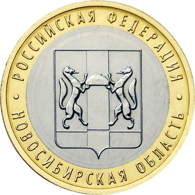
Novosibirsk Oblast (russian: Новосиби́рская о́бласть, ''Novosibirskaya oblast'') is a federal subject of Russia (an oblast) located in southwestern Siberia. Its administrative and economic center is the city of Novosibirsk. The population was 2,788,849 as of the 2018 Census. Geography Overview Novosibirsk Oblast is located in the south of the West Siberian Plain, at the foothills of low Salair ridge, between the Ob and Irtysh Rivers. The oblast borders Omsk Oblast in the west, Kazakhstan (Pavlodar Province) in the southwest, Tomsk Oblast in the north, Kemerovo Oblast in the east, and Altai Krai in the south. The territory of the oblast extends for more than from west to east, and for over from north to south. The oblast is mainly plain; in the south the steppes prevail; in the north enormous tracts of woodland with great number of marshes prevail. There are many lakes, the largest ones located at the south. The majority of the rivers belong to the ... [...More Info...] [...Related Items...] OR: [Wikipedia] [Google] [Baidu] |
Chany Lake2
Chany (russian: Ча́ны) is an urban locality (a work settlement) and the administrative center of Chanovsky District of Novosibirsk Oblast, Russia Russia (, , ), or the Russian Federation, is a List of transcontinental countries, transcontinental country spanning Eastern Europe and North Asia, Northern Asia. It is the List of countries and dependencies by area, largest country in the .... Population: References Urban-type settlements in Novosibirsk Oblast {{NovosibirskOblast-geo-stub ... [...More Info...] [...Related Items...] OR: [Wikipedia] [Google] [Baidu] |
Chany Lake
Lake Chany (russian: озеро Чаны) is a lake in Novosibirsk Oblast, Russia. The lake extends across five districts of Novosibirsk Oblast: Zdvinsky, Barabinsky, Chanovsky, Kupinsky and Chistoozyorny. Geography Lake Chany is one of the largest lakes in Russia. It is located in the Baraba steppe area. The lake is shallow, hyposaline and has a fluctuating water level, which can change from season to season and year to year. The depth of the lake is mainly 1–2 m, but it can reach 8 m in some places.The glorious sea is Lake Chany. Sovetskaya Sibir. Славное море — озеро Чаны. Советская Сибирь. May 4, 2007. Lake Chany is connected with the Small Chany (Malye Chany) and Yarkul lakes to ... [...More Info...] [...Related Items...] OR: [Wikipedia] [Google] [Baidu] |


.jpg)
