|
Pulaski County, Arkansas
Pulaski County is located in the U.S. state of Arkansas with a population of 399,125, making it the most populous county in Arkansas. The county is included in the Little Rock–North Little Rock– Conway metropolitan area. Its county seat is Little Rock, which is also Arkansas's capital and largest city. Pulaski County is Arkansas's fifth county, formed on December 15, 1818, alongside Clark and Hempstead Counties. Pulaski County is named for Brigadier General Casimir Pulaski, a Polish-born Continental Army officer who was killed in action at the Siege of Savannah during the Revolutionary War. The county was the site of the Battle of Bayou Fourche on September 10, 1863. The Union army took control the same day and occupied Pulaski County until the end of the Civil War. The county was home to Willow Springs Water Park, one of the oldest water parks in the nation, which opened in 1928 and closed in 2013. Geography According to the U.S. Census Bureau, the county has a total ar ... [...More Info...] [...Related Items...] OR: [Wikipedia] [Google] [Baidu] |
Pulaski County Courthouse (Arkansas)
The Pulaski County Courthouse is located at 405 West Markham Street in downtown Little Rock, Arkansas, the state capital and the county seat of Pulaski County. It is set among a number of other state and city government buildings, on a city block bounded by West Markham, Spring, West 2nd, and South Broadway Streets, with a county park occupying the western portion of the block. The courthouse has two portions: an elaborate Romanesque edifice built of stone and brick in 1887–89 to a design by Max A. Orlopp, and a large four-story Beaux Arts annex designed by George Mann and added in 1913–14. The annex is acknowledged as one of Mann's most successful commissions. The building was listed on the National Register of Historic Places in 1979. See also *National Register of Historic Places listings in Little Rock, Arkansas __NOTOC__ This is a list of the National Register of Historic Places listings in Little Rock, Arkansas. This is intended to be a complete list of the pr ... [...More Info...] [...Related Items...] OR: [Wikipedia] [Google] [Baidu] |
Willow Springs Water Park
Willow Springs was a water park located in Little Rock, Arkansas. It closed for swimming in July 2013. The park subsequently re-opened for fishing but not swimming. It closed permanently in August 2015. History & description It was built in 1928. Willow Springs is a sandy bottom spring and well fed lake, similar to Maywood Beach in Mississippi. Unlike most water parks, visitors could bring their own food and drinks into the park, though a restaurant called Upper Deck Café was located on site. Season Willow Springs was open from May through September each year. Amoebic meningitis outbreak and closure of the park On July 26, 2013, the owner of the park shut it down indefinitely after a swimmer was diagnosed with amoebic meningitis, 3 years after another swimmer at the park died from the same infection. The Arkansas Department of Health determined that the park may have been at higher risk because the water is shallow and heats up faster (as the causative parasite is somewhat ... [...More Info...] [...Related Items...] OR: [Wikipedia] [Google] [Baidu] |
Arkansas 161
Highway 161 (AR 161, Ark. 161, and Hwy. 161) is a designation for two state highways in Central Arkansas. Route descriptions One route of runs north from US Highway 70 (US 70) to Vandenberg Boulevard near the Little Rock Air Force Base. A second route of begins at U.S. Route 165/ Highway 15/ Highway 256 in England and runs north to terminate at Highway 165. Both routes are maintained by the Arkansas State Highway and Transportation Department (AHTD). History The 1959 Arkansas General Assembly passed and Governor Orval Faubus signed, Act 298, entitled "An Act to Remove a Part of State Highway 161 from the State Highway System" into law; removing a portion of Highway 161 between Faulkner Lake Rd and Highway 130 (present-day U.S. Route 165) from the state highway system. The rationale behind this legislation is not recorded in the minutes of the Arkansas State Highway Commission (ASHC) meeting, but the ASHC concurred with the General Assembly and removed the highway se ... [...More Info...] [...Related Items...] OR: [Wikipedia] [Google] [Baidu] |
Highway 100 (Arkansas)
Highway 100 (AR 100, Ark. 100, and Hwy. 100) is a designation for two state highways in Central Arkansas. __TOC__ Description One route of begins at Highway 365 and runs southeast through Maumelle to Interstate 40 (I-40). This route was designated in 1987 and is maintained by the Arkansas Department of Transportation (ArDOT). History The Highway 100 designation was created at the request of the mayor of North Little Rock, who planned to construct Riverside Drive between Rose City and Locust Street, and desired inclusion in the state highway system. The Arkansas State Highway Commission agreed to an alignment in 1965, but the road was not completed for over 20 years. The designation was officially assigned on December 1, 1987, following completion of Riverside Drive between I-30 and Pike Avenue.. The highway was extended east to US 70 on May 13, 1998. A second segment was created on May 6, 1987 along Maumelle Boulevard in response to the population g ... [...More Info...] [...Related Items...] OR: [Wikipedia] [Google] [Baidu] |
Arkansas 100
Highway 100 (AR 100, Ark. 100, and Hwy. 100) is a designation for two state highways in Central Arkansas. __TOC__ Description One route of begins at Highway 365 and runs southeast through Maumelle to Interstate 40 (I-40). This route was designated in 1987 and is maintained by the Arkansas Department of Transportation (ArDOT). History The Highway 100 designation was created at the request of the mayor of North Little Rock, who planned to construct Riverside Drive between Rose City and Locust Street, and desired inclusion in the state highway system. The Arkansas State Highway Commission agreed to an alignment in 1965, but the road was not completed for over 20 years. The designation was officially assigned on December 1, 1987, following completion of Riverside Drive between I-30 and Pike Avenue.. The highway was extended east to US 70 on May 13, 1998. A second segment was created on May 6, 1987 along Maumelle Boulevard in response to the population g ... [...More Info...] [...Related Items...] OR: [Wikipedia] [Google] [Baidu] |
Highway 10 (Arkansas)
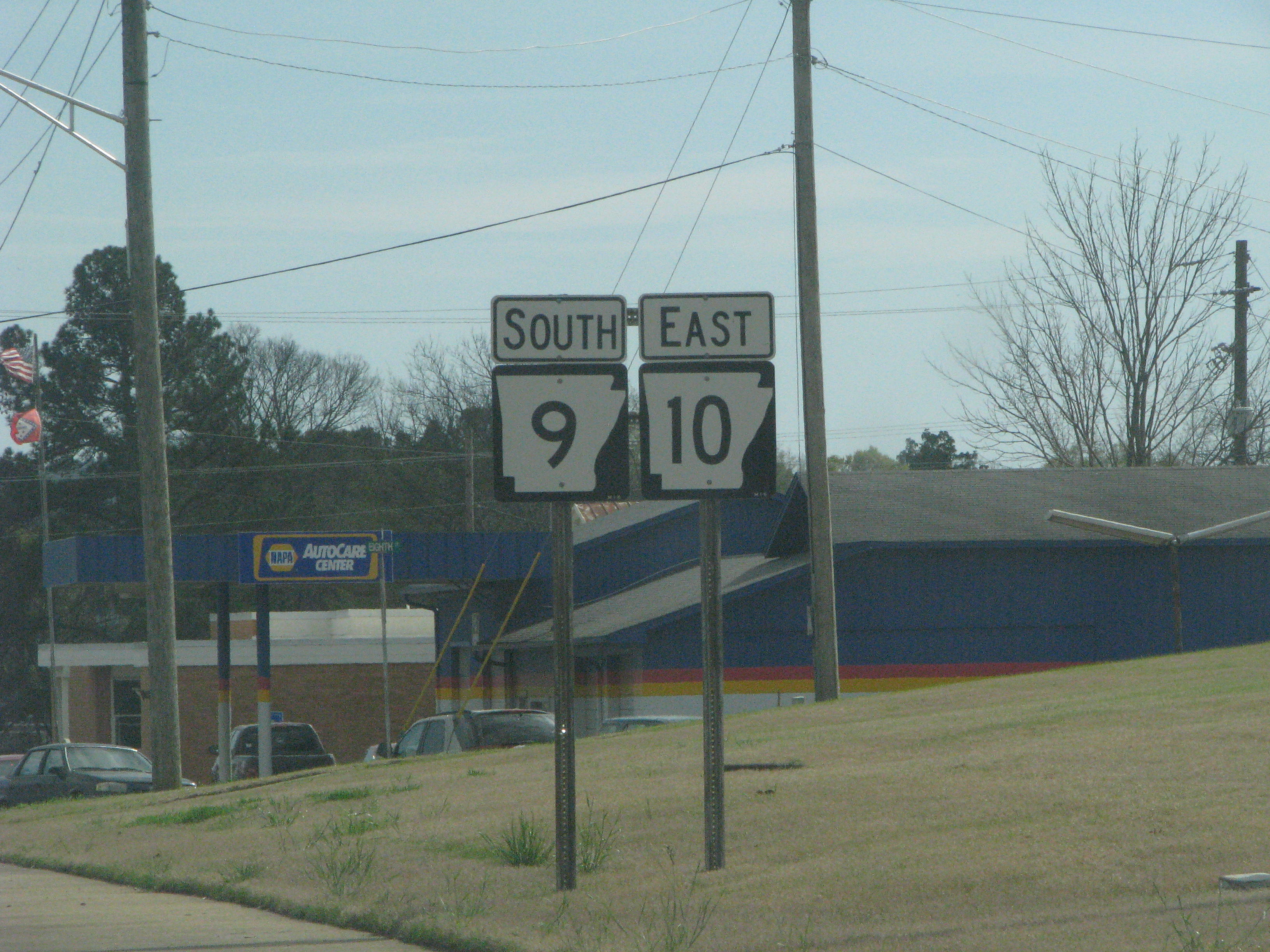
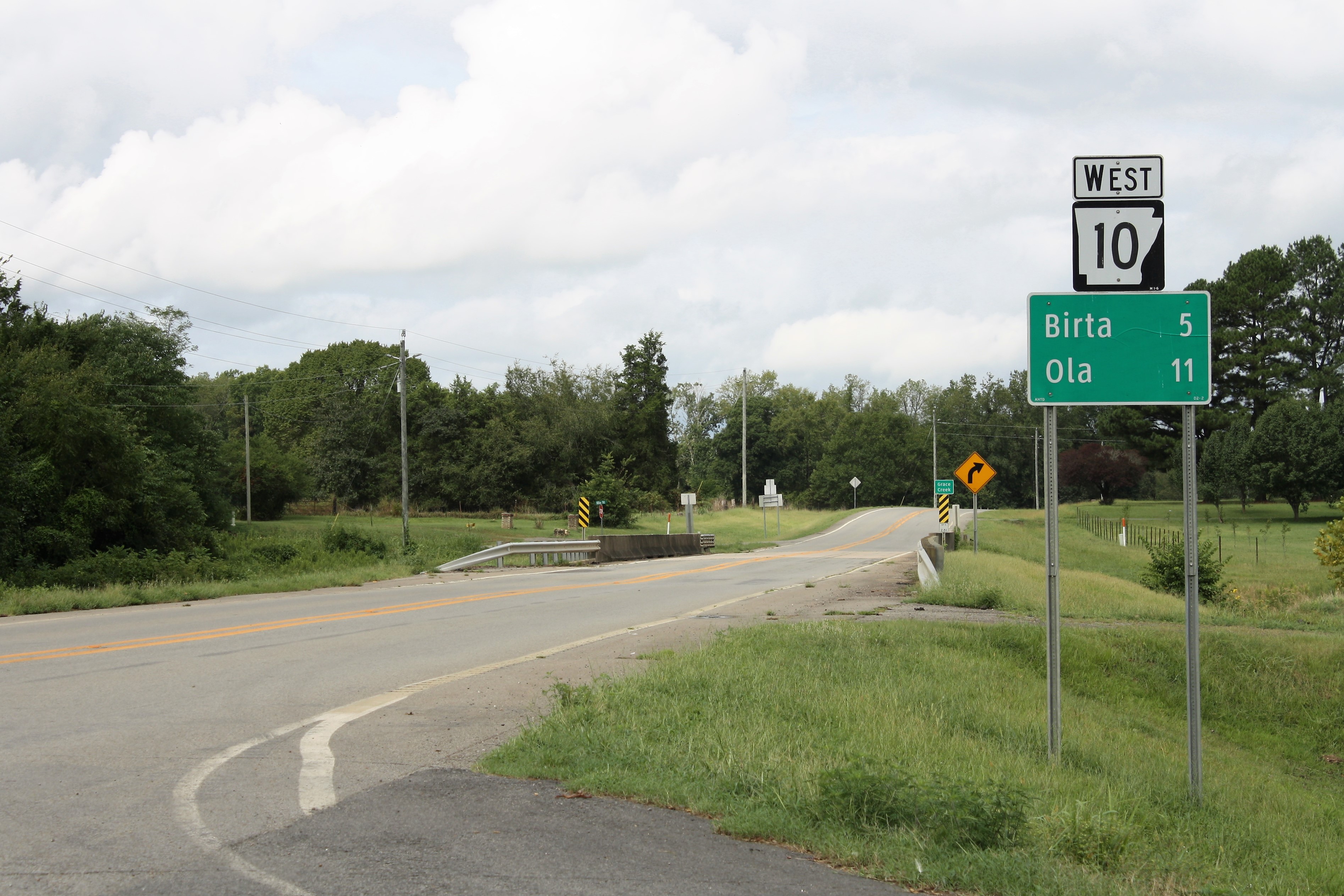
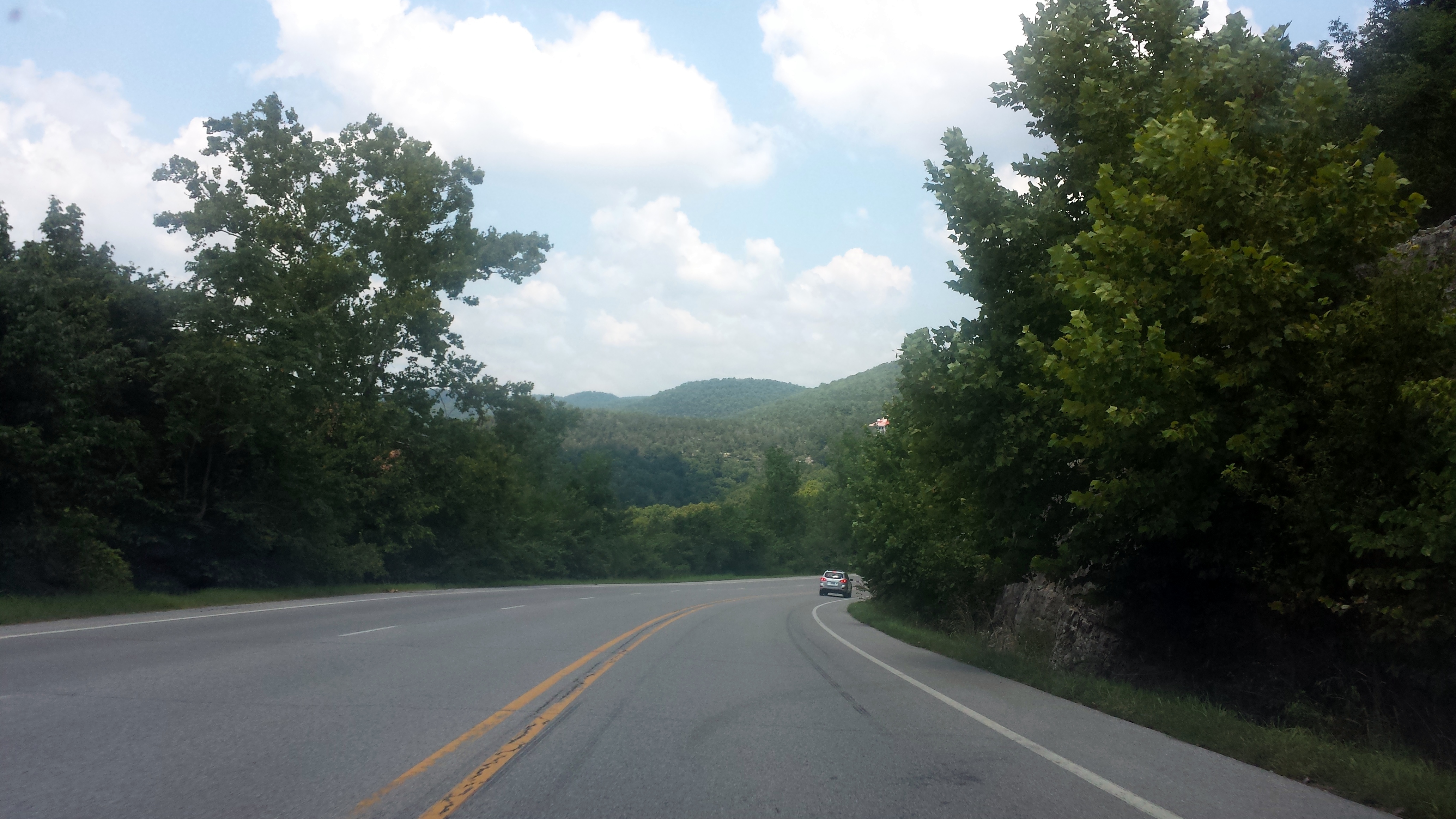
Arkansas Highway 10 is an east–west state highway in West Arkansas. The route runs from Oklahoma State Highway 120 near Hackett east to Interstate 30 in Little Rock, the state's capitol. The highway serves both the Fort Smith metropolitan area and the Little Rock – North Little Rock – Conway metropolitan area. Aside from Little Rock in Pulaski County, the highway also passes through county seats in four other Arkansas counties — Greenwood, Sebastian County; Booneville, Logan County; Danville, Yell County; and Perryville, Perry County. Mount Magazine, Arkansas's highest point, lies just to the north of the highway, as does the adjoining Mount Magazine State Park. Arkansas 10 also passes through a portion of the Ozark National Forest and parallel to the Petit Jean River, Petit Jean Wildlife Management Area and Lake Maumelle — a chief source of water for residents in the Little Rock metropolitan area. Route description The route begins at Oklahoma State Hig ... [...More Info...] [...Related Items...] OR: [Wikipedia] [Google] [Baidu] |
Arkansas 10
Arkansas Highway 10 is an east–west state highway in West Arkansas. The route runs from Oklahoma State Highway 120 near Hackett east to Interstate 30 in Little Rock, the state's capitol. The highway serves both the Fort Smith metropolitan area and the Little Rock – North Little Rock – Conway metropolitan area. Aside from Little Rock in Pulaski County, the highway also passes through county seats in four other Arkansas counties — Greenwood, Sebastian County; Booneville, Logan County; Danville, Yell County; and Perryville, Perry County. Mount Magazine, Arkansas's highest point, lies just to the north of the highway, as does the adjoining Mount Magazine State Park. Arkansas 10 also passes through a portion of the Ozark National Forest and parallel to the Petit Jean River, Petit Jean Wildlife Management Area and Lake Maumelle — a chief source of water for residents in the Little Rock metropolitan area. Route description The route begins at Oklahoma State Hig ... [...More Info...] [...Related Items...] OR: [Wikipedia] [Google] [Baidu] |
Highway 5 (Arkansas)
Highway 5 (AR 5, Ark. 5, and Hwy. 5) is a designation for three state highways in Arkansas. The southern segment of runs from Highway 7 in Hot Springs north to US Highway 70 (US 70) in Little Rock. A northern segment of begins at US Highway 67/ US Highway 167 (Future Interstate 57) in Cabot and runs north to Missouri Route 5, including a lengthy overlap with Highway 25 between Heber Springs and Wolf Bayou. A portion of Highway 5 is designated as part of the Sylamore Scenic Byway. The Main Street Bridge in Little Rock carries a hidden Highway 5 designation. The bridge is in span. Route description Hot Springs to Little Rock In the future, Highway 5 will begin at junction US 70 and US 70 Business Route east of Hot Springs. The new extended roadway will be a Two-lane expressway. Currently, Highway 5 begins north of Hot Springs at Highway 7 and runs northeast to Fountain Lake. In the city the highway has a ... [...More Info...] [...Related Items...] OR: [Wikipedia] [Google] [Baidu] |
Arkansas 5
Highway 5 (AR 5, Ark. 5, and Hwy. 5) is a designation for three state highways in Arkansas. The southern segment of runs from Highway 7 in Hot Springs north to US Highway 70 (US 70) in Little Rock. A northern segment of begins at US Highway 67/ US Highway 167 (Future Interstate 57) in Cabot and runs north to Missouri Route 5, including a lengthy overlap with Highway 25 between Heber Springs and Wolf Bayou. A portion of Highway 5 is designated as part of the Sylamore Scenic Byway. The Main Street Bridge in Little Rock carries a hidden Highway 5 designation. The bridge is in span. Route description Hot Springs to Little Rock In the future, Highway 5 will begin at junction US 70 and US 70 Business Route east of Hot Springs. The new extended roadway will be a Two-lane expressway. Currently, Highway 5 begins north of Hot Springs at Highway 7 and runs northeast to Fountain Lake. In the city the highway has a ... [...More Info...] [...Related Items...] OR: [Wikipedia] [Google] [Baidu] |
US 167
The United States of America (U.S.A. or USA), commonly known as the United States (U.S. or US) or America, is a country Continental United States, primarily located in North America. It consists of 50 U.S. state, states, a Washington, D.C., federal district, five major unincorporated territories, nine United States Minor Outlying Islands, Minor Outlying Islands, and 326 Indian reservations. The United States is also in Compact of Free Association, free association with three Oceania, Pacific Island Sovereign state, sovereign states: the Federated States of Micronesia, the Marshall Islands, and the Palau, Republic of Palau. It is the world's List of countries and dependencies by area, third-largest country by both land and total area. It shares land borders Canada–United States border, with Canada to its north and Mexico–United States border, with Mexico to its south and has maritime borders with the Bahamas, Cuba, Russia, and other nations. With a population of over 333 m ... [...More Info...] [...Related Items...] OR: [Wikipedia] [Google] [Baidu] |
US 165
U.S. Route 165 is a north–south United States highway spur of U.S. Highway 65. It currently runs for 412 miles (663 km) from U.S. Route 90 in Iowa, Louisiana north to U.S. Highway 70 in North Little Rock, Arkansas. The route passes through the states of Arkansas and Louisiana. It passes through the cities of Monroe and Alexandria in Louisiana. A segment of US 165 serves as a routing of the Great River Road within Arkansas. Route description , - , U.S. Route 165 in Louisiana, LA , 229 , 369 , - , U.S. Route 165 in Arkansas, AR , 183 , 295 , - , Total , 412 , 663 Louisiana From its southern terminus in Iowa at US 90 (near Lake Charles), US 165 follows a diagonal north south route, passing through the casino town of Kinder, where it intersects US 190. Just south of Alexandria it merges with US 71 and they join through the west side of the city, across the Red River and into Pineville. A new four-lane (two lanes in each direction) bridge is being built beside the a ... [...More Info...] [...Related Items...] OR: [Wikipedia] [Google] [Baidu] |
US 70
U.S. Route 70 or U.S. Highway 70 (US 70) is an east–west United States highway that runs for from eastern North Carolina to east-central Arizona. It is a major east–west highway of the Southeastern, Southern and Southwestern United States. Established as one of the original highways of 1926, it originally ran only to Holbrook, Arizona, then was extended in 1934 as a coast to coast route, with the current Eastern terminus near the Atlantic Ocean in Atlantic, North Carolina, and the former Western terminus near the Pacific Ocean in Los Angeles, California. The current Western terminus was then truncated to US 60 / SR 77 in Globe, Arizona. Before the completion of the Interstate system, U.S. Highway 70 was sometimes referred to as the "Broadway of America", due to its status as one of the main east–west thoroughfares in the nation. It was also promoted as the "Treasure Trail" by the U.S. Highway 70 Association as of 1951. In the early years, US 70 had a different route ... [...More Info...] [...Related Items...] OR: [Wikipedia] [Google] [Baidu] |


