|
Hartford, Vermont
Hartford is a town in Windsor County, Vermont, United States. It is on the New Hampshire border, at the intersection of Interstates 89 and 91. It is the site of the confluence of the White and Connecticut rivers; the Ottauquechee River also flows through the town. The town is composed of five unincorporated villages: Hartford, Quechee, West Hartford, White River Junction and Wilder. As of the 2020 census, the population was 10,686. History The community was chartered by Governor Benning Wentworth of New Hampshire in 1761, and is named for Hartford, Connecticut. On February 5, 1887, Hartford became the site of what remains Vermont's worst railway disaster when a Vermont Central Railroad train struck a broken rail on a bridge west of town. The ensuing derailment threw the train into the frozen river below, killing 37 and injuring 50. Geography The town of Hartford is located at (43.66444, −72.38667). According to the United States Census Bureau, the town has a to ... [...More Info...] [...Related Items...] OR: [Wikipedia] [Google] [Baidu] |
New England Town
The town is the basic unit of Local government in the United States, local government and local division of state authority in the six New England states. Most other U.S. states lack a direct counterpart to the New England town. New England towns overlie the entire area of a state, similar to civil townships in other states where they exist, but they are fully functioning Incorporation (municipal government), municipal corporations, possessing powers similar to city, cities and county, counties in other states. Local government in New Jersey, New Jersey's system of equally powerful townships, boroughs, towns, and cities is the system which is most similar to that of New England. New England towns are often governed by a town meeting, an assembly of eligible town residents. The great majority of municipal corporations in New England are based on the town model; there, statutory forms based on the concept of a Place (United States Census Bureau), compact populated place are uncommon ... [...More Info...] [...Related Items...] OR: [Wikipedia] [Google] [Baidu] |
New Hampshire
New Hampshire ( ) is a U.S. state, state in the New England region of the Northeastern United States. It borders Massachusetts to the south, Vermont to the west, Maine and the Gulf of Maine to the east, and the Canadian province of Quebec to the north. Of the List of states and territories of the United States, 50 U.S. states, New Hampshire is the List of U.S. states and territories by area, seventh-smallest by land area and the List of U.S. states and territories by population, tenth-least populous, with a population of 1,377,529 residents as of the 2020 United States census, 2020 census. Concord, New Hampshire, Concord is the List of capitals in the United States, state capital and Manchester, New Hampshire, Manchester is the List of municipalities in New Hampshire, most populous city. New Hampshire's List of U.S. state mottos, motto, "Live Free or Die", reflects its role in the American Revolutionary War; its state nickname, nickname, "The Granite State", refers to its ext ... [...More Info...] [...Related Items...] OR: [Wikipedia] [Google] [Baidu] |
Appalachian Trail
The Appalachian Trail, also called the A.T., is a hiking trail in the Eastern United States, extending almost between Springer Mountain in Georgia and Mount Katahdin in Maine, and passing through 14 states.Gailey, Chris (2006)"Appalachian Trail FAQs" Outdoors.org (accessed September 14, 2006) The Appalachian Trail Conservancy claims the Appalachian Trail to be the world's longest hiking-only trail. More than three million people hike segments of it each year. The trail was first proposed in 1921 and completed in 1937. Improvements and changes have continued since then. It became the Appalachian National Scenic Trail under the National Trails System, National Trails System Act of 1968. The trail is maintained by 31 trail clubs and multiple partnerships and managed by the National Park Service, United States Forest Service, and the nonprofit Appalachian Trail Conservancy. Most of the trail is in forest or wild lands, but some parts traverse towns, roads, and farms. From south t ... [...More Info...] [...Related Items...] OR: [Wikipedia] [Google] [Baidu] |
Vermont Central Railroad
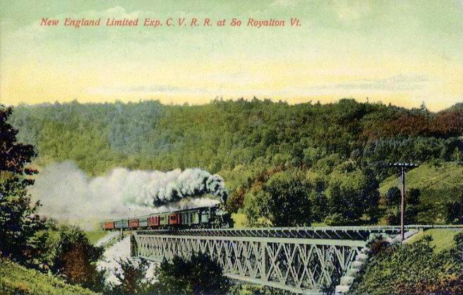
The Central Vermont Railway was a railroad that operated in the U.S. states of Connecticut, Massachusetts, New Hampshire, New York, and Vermont, as well as the Canadian province of Quebec. It connected Montreal, Quebec, with New London, Connecticut, using a route along the shores of Lake Champlain, through the Green Mountains and along the Connecticut River valley. It also connected Montreal to Boston, in eastern Massachusetts, through a junction with the Boston and Maine Railroad at White River Junction, Vermont. History The Vermont Central Railroad was chartered October 31, 1843, to build a line across the center of Vermont, running from Burlington on Lake Champlain east to the capital Montpelier, and then southeast and south to Windsor on the Connecticut River. Initial plans had the main line running through Montpelier. However, due to the difficulty of building through the Williamstown Gulf, a narrow valley south of Barre, Vermont, and to land interests of Charles Paine ... [...More Info...] [...Related Items...] OR: [Wikipedia] [Google] [Baidu] |
Hartford, Connecticut
Hartford is the List of capitals in the United States, capital city of the U.S. state of Connecticut. The city, located in Hartford County, Connecticut, Hartford County, had a population of 121,054 as of the 2020 United States census, 2020 census. Hartford is the most populous city in the Capitol Planning Region, Connecticut, Capitol Planning Region and the core city of the Greater Hartford metropolitan area with 1.17 million residents. Founded in 1635, Hartford is among the oldest cities in the United States. It is home to the country's oldest public art museum (Wadsworth Atheneum), the oldest publicly funded park (Bushnell Park), the oldest continuously published newspaper (the ''Hartford Courant''), the second-oldest secondary school (Hartford Public High School), and the oldest school for deaf children (American School for the Deaf), founded by Thomas Hopkins Gallaudet in 1817. It is the location of the Mark Twain House, in which the author Mark Twain wrote his most famous ... [...More Info...] [...Related Items...] OR: [Wikipedia] [Google] [Baidu] |
Benning Wentworth
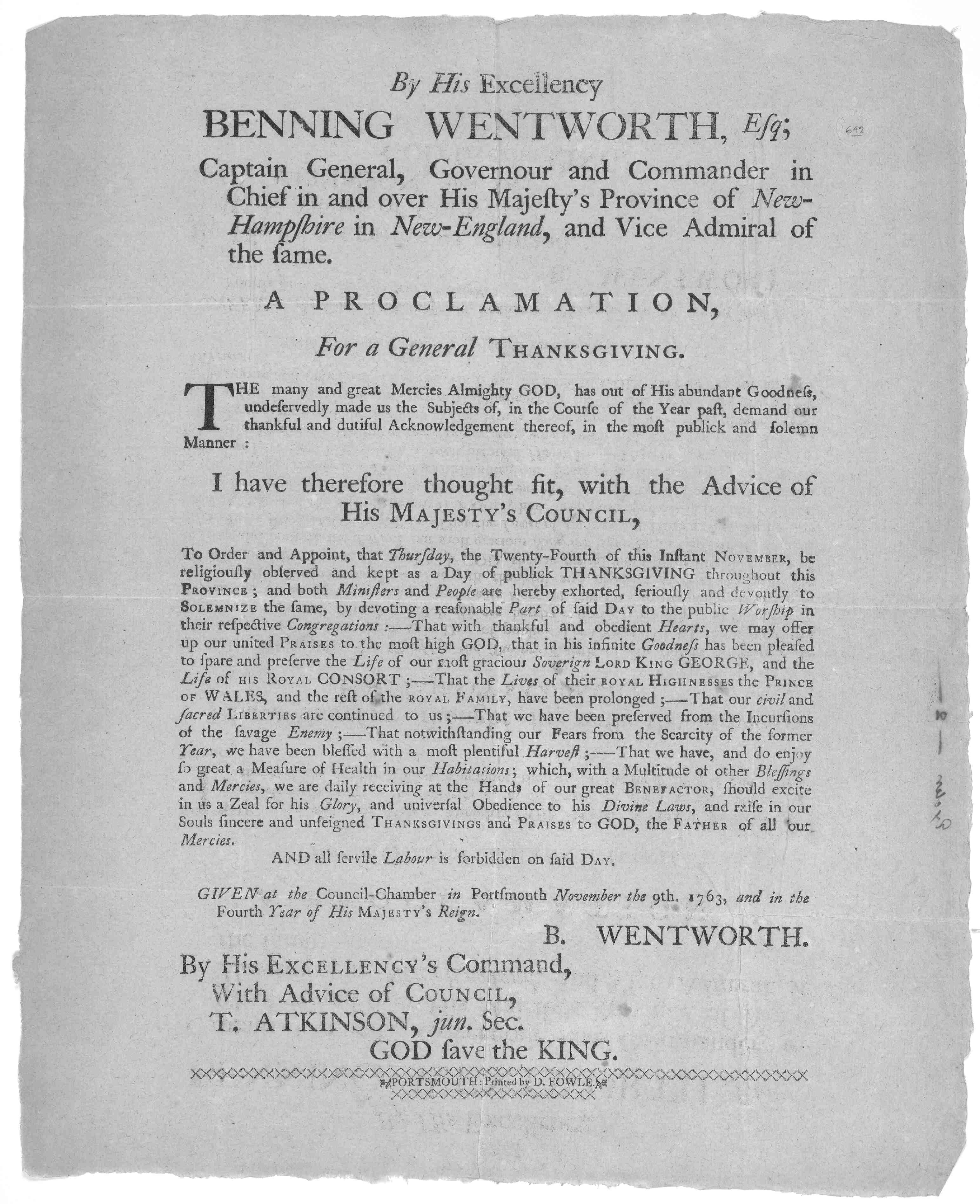
Benning Wentworth (July 24, 1696 – October 14, 1770) was an American merchant, landowner and colonial administrator who served as the List of colonial governors of New Hampshire, governor of New Hampshire from 1741 to 1766. He is best known for issuing New Hampshire Grants, several land grants in territories claimed by the Province of New Hampshire west of the Connecticut River while serving as governor, which led to disputes with the neighboring Province of New York and the eventual establishment of Vermont. Born in Portsmouth, New Hampshire into a prominent local family, Wentworth was groomed by his father John Wentworth (lieutenant governor, born 1671), John while growing up to assume control over the family businesses. However, Wentworth's misbehavior while studying at Harvard College led him to be sent by his father to Boston instead in 1715. There, Wentworth was apprenticed to his uncle before working as a merchant. In 1730, he returned to Portsmouth to assume control o ... [...More Info...] [...Related Items...] OR: [Wikipedia] [Google] [Baidu] |
DeLorme
DeLorme Publishing Company is a producer of personal satellite tracking, messaging, and navigation technology. The company's main product, ''inReach'', integrates GPS and satellite technologies. ''inReach'' provides the ability to send and receive text messages to and from anywhere in the world (including when beyond cell phone range) by using the Iridium satellite constellation. By pairing with a smartphone, navigation is possible with access to free downloadable topographic maps and National Oceanic and Atmospheric Administration (NOAA) charts. On February 11, 2016, the company announced that it had been purchased by Garmin, another multinational producer of GPS products and services. DeLorme also produces printed atlas and topographic software products. The company uses a combination of digital technologies and human editors to verify travel information and map details. ''DeLorme Atlas & Gazetteer'' is an extension for vehicular GPS or online mapping sites, allowing a tra ... [...More Info...] [...Related Items...] OR: [Wikipedia] [Google] [Baidu] |
Ottauquechee River
The Ottauquechee River (pronounced ''AWT-ah-KWEE-chee'') is a U.S. Geological Survey. National Hydrography Dataset high-resolution flowline dataThe National Map accessed April 1, 2011 river in eastern Vermont in the United States. It is a tributary of the Connecticut River, which flows to Long Island Sound. The Ottauquechee rises in the Green Mountains in eastern Rutland County in the town of Killington, and flows generally eastwardly into Windsor County, where it passes through or along the boundaries of the towns of Bridgewater, Woodstock, Pomfret, Hartford and Hartland; and the villages of Woodstock and Quechee. It joins the Connecticut River in the town of Hartland, about 4 miles (6 km) south-southwest of White River Junction.DeLorme (1996). ''Vermont Atlas & Gazetteer''. Yarmouth, Maine: DeLorme. A headwaters tributary known as the North Branch Ottauquechee River flows southeastwardly through the towns of Killington and Bridgewater. Quechee State Park is lo ... [...More Info...] [...Related Items...] OR: [Wikipedia] [Google] [Baidu] |
Connecticut River
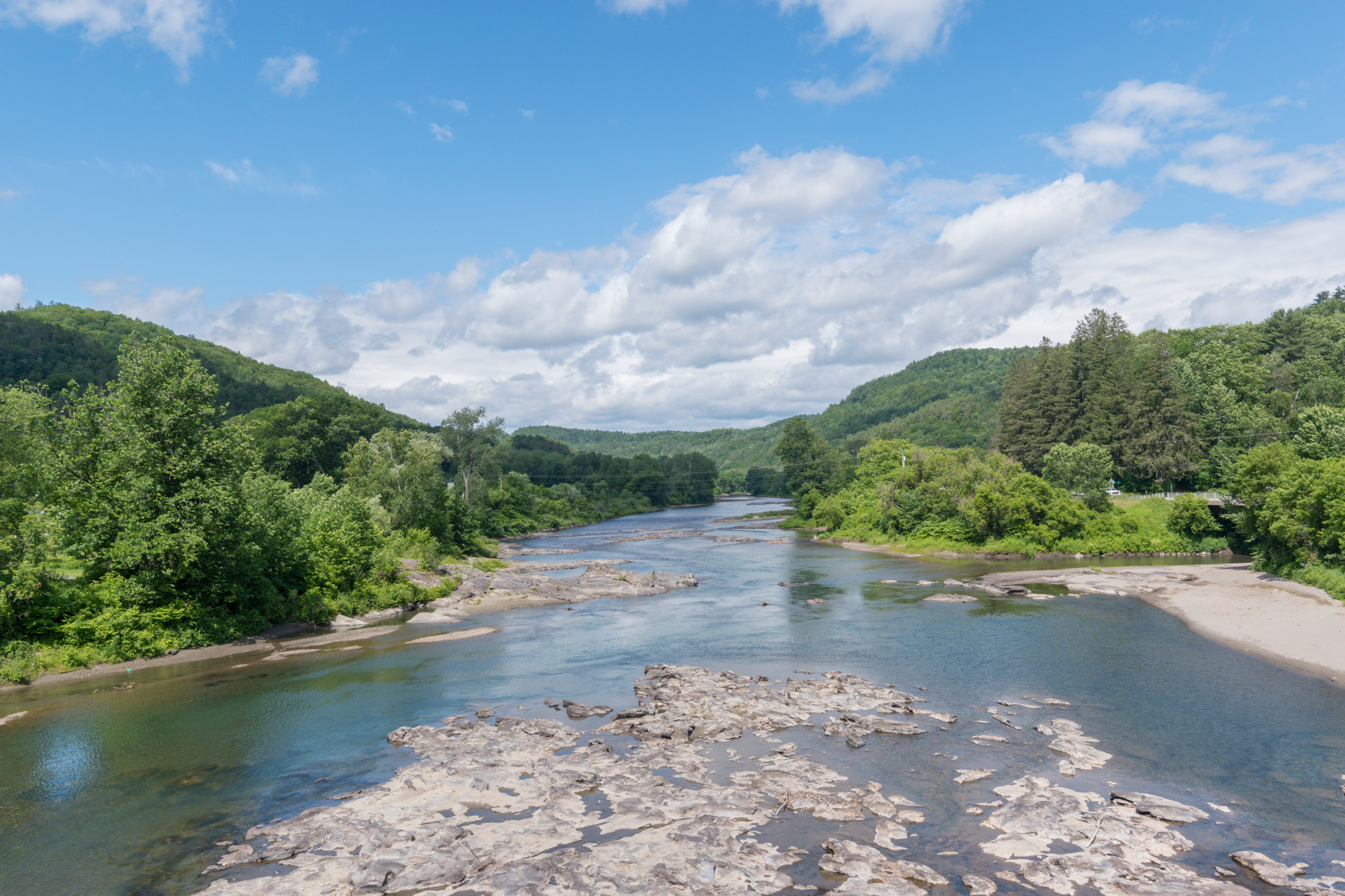
The Connecticut River is the longest river in the New England region of the United States, flowing roughly southward for through four states. It rises 300 yards (270 m) south of the U.S. border with Quebec, Canada, and discharges into Long Island Sound between Old Saybrook, Connecticut, Old Saybrook and Old Lyme, Connecticut. Its watershed encompasses , covering parts of five U.S. states and one Canadian province, via 148 tributaries, 38 of which are major rivers. It produces 70% of Long Island Sound's fresh water, discharging at per second. The Connecticut River Valley is home to some of the northeastern United States' most productive farmland, as well as the Hartford–Springfield, Hartford–Springfield Knowledge Corridor, a metropolitan region of approximately two million people surrounding Springfield, Massachusetts, and Hartford, Connecticut. History The word "Connecticut" is a Corruption (linguistics), corruption of the Mohegan word ''quinetucket'' and Nipmuc word ''kw ... [...More Info...] [...Related Items...] OR: [Wikipedia] [Google] [Baidu] |
White River (Vermont)
The White River is a U.S. Geological Survey. National Hydrography Dataset high-resolution flowline dataThe National Map accessed April 1, 2011 river in the U.S. state of Vermont. It is a tributary of the Connecticut River, and the namesake of the White River Valley. The White River rises at Skylight Pond south of Bread Loaf Mountain near the crest of the Green Mountains. The river flows east to the town of Granville, Vermont, Granville, where it receives the outflow from the southern portion of Granville Notch. The river then turns south and, followed by Vermont Route 100, flows through the towns of Hancock, Vermont, Hancock and Rochester, Vermont, Rochester. Entering Stockbridge, Vermont, Stockbridge, the river turns northeast and, followed by Vermont Route 107, flows to the town of Bethel, Vermont, Bethel, where the Third Branch of the White River enters from the north. The Second Branch and the First Branch of the White River also enter from the north as the river flows throug ... [...More Info...] [...Related Items...] OR: [Wikipedia] [Google] [Baidu] |


