|
Eemsdelta
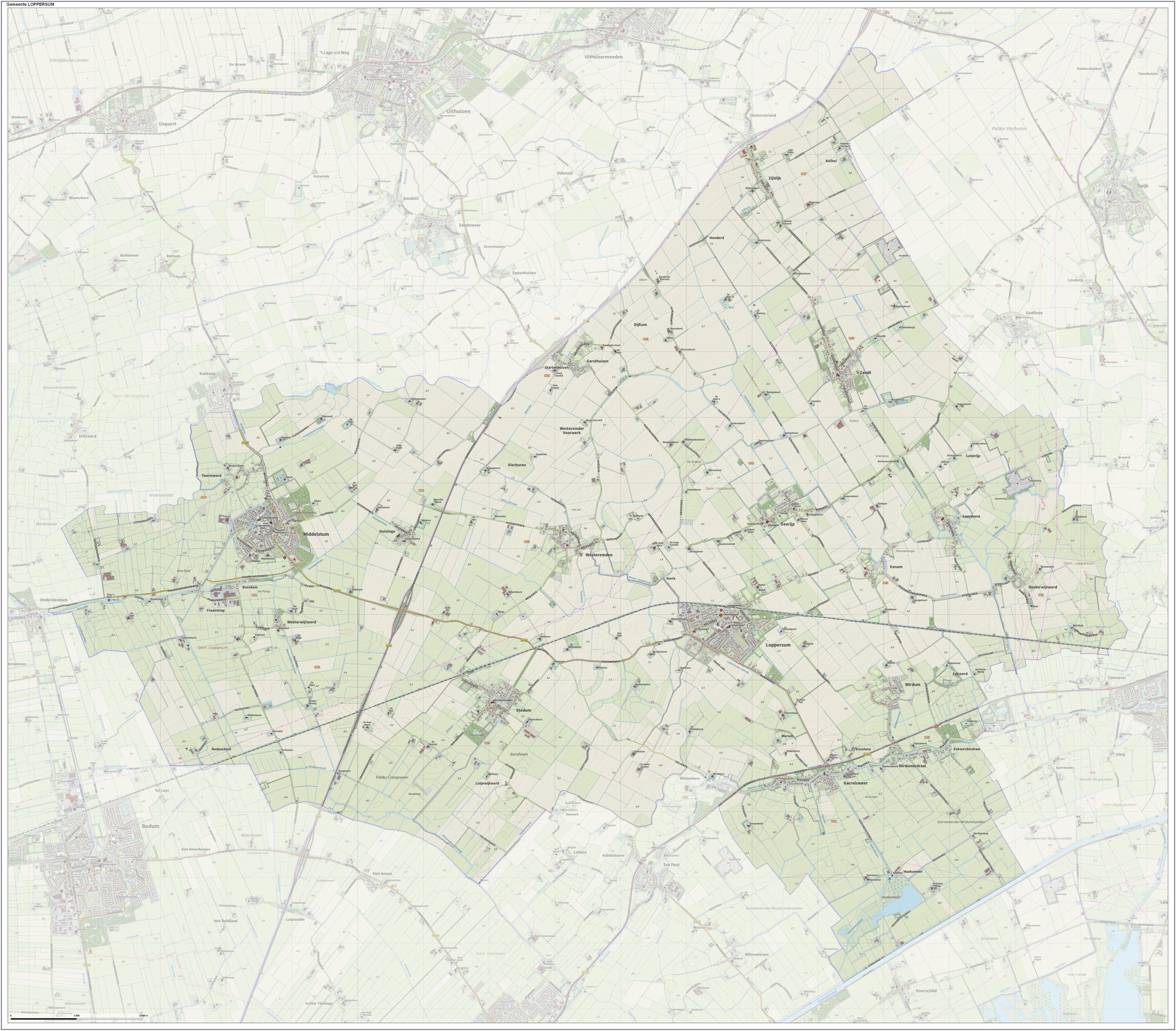
Eemsdelta () is a municipality in the province of Groningen, Netherlands formed from the merger of Appingedam, Delfzijl and Loppersum. The municipality came into existence on 1 January 2021. Geography As of 2020, the areas encompassed by the municipality have a population of approximately 46 thousand people. The municipality is bordered by Het Hogeland to the west, Groningen to the southwest, Midden-Groningen to the south and Oldambt to the southeast. It consists of 32 main population centres, the largest of which are Appingedam (part of the Appingedam municipality), Delfzijl, Wagenborgen, Spijk (all part of the Delfzijl municipality), Loppersum and Middelstum (both part of the Loppersum municipality). Topography ''Dutch topographic map of the municipality of Eemsdelta, 2021.'' History In 2010, the municipalities of Delfzijl, Eemsmond, Appingedam and Loppersum formed Werkorganisatie DEAL, a joint organisation for handling various municipal tasks. Delfzijl, Appingedam ... [...More Info...] [...Related Items...] OR: [Wikipedia] [Google] [Baidu] |
Middelstum
Middelstum () is a village with a population of 2,419 in the province of Groningen in the Netherlands. It is located in the municipality of Eemsdelta. Middelstum was a separate municipality until 1990, when it was merged with Loppersum. History The village was first mentioned between 822 and 856 as Mitilistenheim, and means "settlement in the middle". Middelstum is a ''terp'' (artificial living hill) village which probably developed in Roman times. It consists of three "house" ''terp''s which have grown together. It has a radial structure and ring road. The Dutch Reformed church was built in several stages during the 15th century. The tower dates from 1487. Between 1661 and 1662, a dome with carillon A carillon ( , ) is a pitched percussion instrument that is played with a keyboard and consists of at least 23 cast-bronze bells. The bells are hung in fixed suspension and tuned in chromatic order so that they can be sounded harmoniou ... was place on top of the towe ... [...More Info...] [...Related Items...] OR: [Wikipedia] [Google] [Baidu] |
Spijk (Groningen)
Spijk () is a village in the Dutch province of Groningen. It is a part of the municipality of Eemsdelta, and lies about 26 kilometres (16 mi) northeast of Groningen. Spijk is a radial ''terp'' village from 600-700 BC where the original structure is still clearly visible. History The village was first mentioned in 1246 as Spik, and means headland. Spijk is a ''terp'' village with a radial structure which probably dates from the 7th or 6th century BC. It has a double ring road and a circular canal, and the church has been placed in the middle. The original structure is still clearly visible. In the 11th century, a dike was built along the former Fivel River. The Dutch Reformed church was from the 13th century, however it burned down and only the old walls have remained. In 1848, it was extended on the north side. The tower dates from 1902. In 1686 and 1717, most of the buildings excluding the church were destroyed in floods. The grist mill A gristmill (also: grist mi ... [...More Info...] [...Related Items...] OR: [Wikipedia] [Google] [Baidu] |
Wagenborgen
Wagenborgen () is a village in the Dutch province of Groningen. It is a part of the municipality of Eemsdelta, and lies about 25 km east of Groningen. History The village was first mentioned in 1446 as wagenbergen. Based on the earlies references, it means "settlement on higher ground by Wago (person)". Wagenborgen is a road village which developed on a sandy ridge in the 11th century. The Dutch Reformed church was built in 1883 in neoclassic style as a replacement for the medieval church. Wagenborgen was home to 630 people in 1840. Groot Bronswijk The Brons family used to own a forge in the village where steam powered threshing machines were manufactured. This would lead to the foundation of Brons Brons, named after Jan Brons, was a Dutch engine manufacturer in Appingedam that existed from 1907 to 2004. The company made more than 4000 engines for large machines such as ships, tractors, and busses. The company is notable for its early s ... motor vehicles. In 187 ... [...More Info...] [...Related Items...] OR: [Wikipedia] [Google] [Baidu] |
Loppersum
Loppersum () is a village and former municipality in the province of Groningen in the northeast of the Netherlands. Geography Loppersum is located in the province of Groningen in the north of the Netherlands. The former municipality was bordered by the municipalities of Eemsmond (north), Delfzijl (east), Appingedam (east), Slochteren (southeast), Ten Boer (south), and Bedum (southwest). The population centres in the municipality were: * Eekwerd * Eekwerderdraai * Eenum * Fraamklap * Garrelsweer * Garsthuizen * Hoeksmeer * Honderd * Huizinge * Kolhol * Leermens * Loppersum * Lutjerijp * Lutjewijtwerd * Merum * Middelstum * Oosterwijtwerd * Startenhuizen * Stedum * Stork * Toornwerd * Westeremden * Westerwijtwerd * Wirdum * Wirdumerdraai * 't Zandt * Zeerijp * Zijldijk Government The last mayor of Loppersum was Albert Rodenboog of the Christian Democratic Appeal (CDA). [...More Info...] [...Related Items...] OR: [Wikipedia] [Google] [Baidu] |
Appingedam
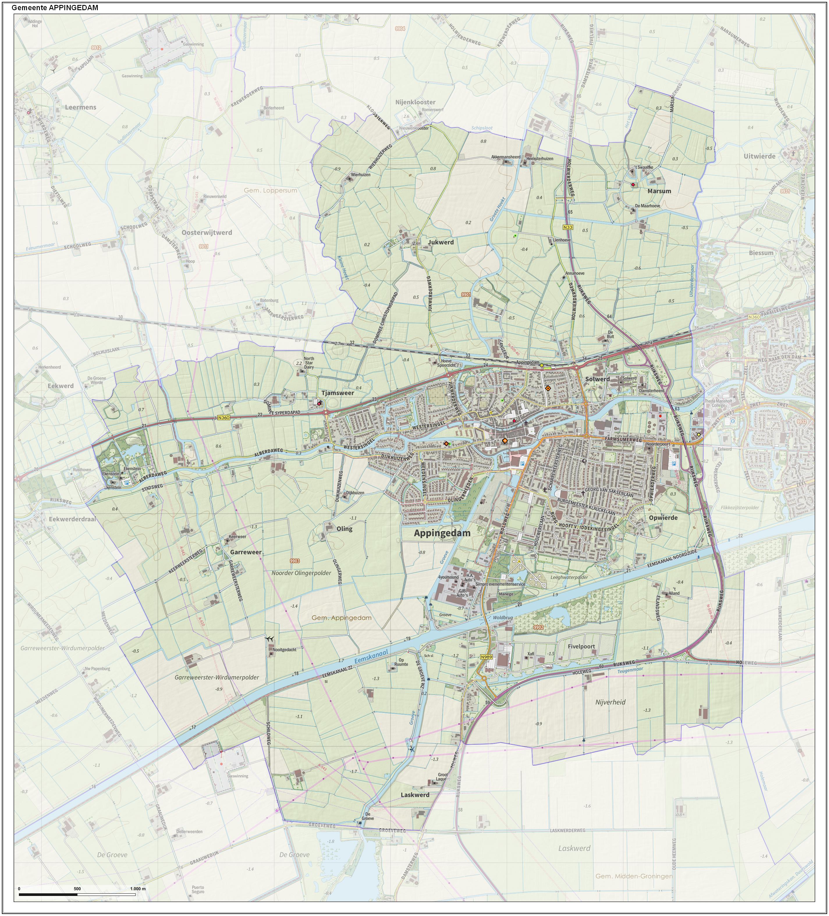
Appingedam (; gos, n Daam) is a city and former municipality in the northeastern Netherlands. Although there is no certainty as to the exact age of Appingedam, historical research demonstrates that the place in which the city would eventually be built had been inhabited for over a millennium. Specifically, the area in which the earliest traces of human settlements have been reported is the Wierde, a quarter located in the northern part of the city centre. Today, a narrow, winding street by the same name runs along the waterfront as a living testimony to the times gone by. The characteristic landmarks of the old Wierde are still recognisable today: the historical East-West Canal, called “Diep,” dug to the south of the Wierde, diked on both sides, still defines the unique layout of the downtown Appingedam. Little is known about the exact age and origin of the name of Appingedam. It came into existence on the banks of the Delf, the present Damsterdiep, around 1200. The name o ... [...More Info...] [...Related Items...] OR: [Wikipedia] [Google] [Baidu] |
Loppersum, Netherlands
Loppersum () is a village and former municipality in the province of Groningen in the northeast of the Netherlands. Geography Loppersum is located in the province of Groningen in the north of the Netherlands. The former municipality was bordered by the municipalities of Eemsmond (north), Delfzijl (east), Appingedam (east), Slochteren (southeast), Ten Boer (south), and Bedum (southwest). The population centres in the municipality were: * Eekwerd * Eekwerderdraai * Eenum * Fraamklap * Garrelsweer * Garsthuizen * Hoeksmeer * Honderd * Huizinge * Kolhol * Leermens * Loppersum * Lutjerijp * Lutjewijtwerd * Merum * Middelstum * Oosterwijtwerd * Startenhuizen * Stedum * Stork * Toornwerd * Westeremden * Westerwijtwerd * Wirdum * Wirdumerdraai * 't Zandt * Zeerijp * Zijldijk Government The last mayor of Loppersum was Albert Rodenboog of the Christian Democratic Appeal (CDA). [...More Info...] [...Related Items...] OR: [Wikipedia] [Google] [Baidu] |
Delfzijl
Delfzijl (; gos, Delfsiel) is a city and former municipality with a population of 25,651 in the province of Groningen (province), Groningen in the northeast of the Netherlands. Delfzijl was a sluice between the Delf (canal), Delf and the Ems (river), Ems, which became fortified settlement in the 16th century. The fortifications were removed in the late 19th century. Delfzijl is the fifth largest seaport in the Netherlands, and the largest port in the North East of the country. Etymology The name ''Delfzijl'' means 'sluice of the Delf'. Ronald Stenvert, Chris Kolman, Ben Olde Meierink, Sabine Broekhoven & Redmer Alma,Delfzijl, ''Monumenten in Nederland: Groningen'', 1998. Retrieved on 27 March 2015. The Delf was a canal connecting the rivers Fivel and Ems (river), Ems, and is now part of the Damsterdiep. The Dutch verb ''delven'' means 'to delve' or 'to dig' and the Dutch noun ''zijl'' means 'water outlet' or 'sluice'. History Delfzijl was established at the location where t ... [...More Info...] [...Related Items...] OR: [Wikipedia] [Google] [Baidu] |
List Of Municipalities Of The Netherlands
As of 24 March 2022, there are 344 municipalities ( nl, gemeenten) and three special municipalities () in the Netherlands. The latter is the status of three of the six island territories that make up the Dutch Caribbean. Municipalities are the second-level administrative division, or public bodies (), in the Netherlands and are subdivisions of their respective provinces. Their duties are delegated to them by the central government and they are ruled by a municipal council that is elected every four years. Municipal mergers have reduced the total number of municipalities by two-thirds since the first official boundaries were created in the mid 19th century. Municipalities themselves are informally subdivided into districts and neighbourhoods for administrative and statistical purposes. These municipalities come in a wide range of sizes, Westervoort is the smallest with a land area of and Súdwest-Fryslân the largest with a land area of . Schiermonnikoog is both the least pop ... [...More Info...] [...Related Items...] OR: [Wikipedia] [Google] [Baidu] |
Oldambt (municipality)
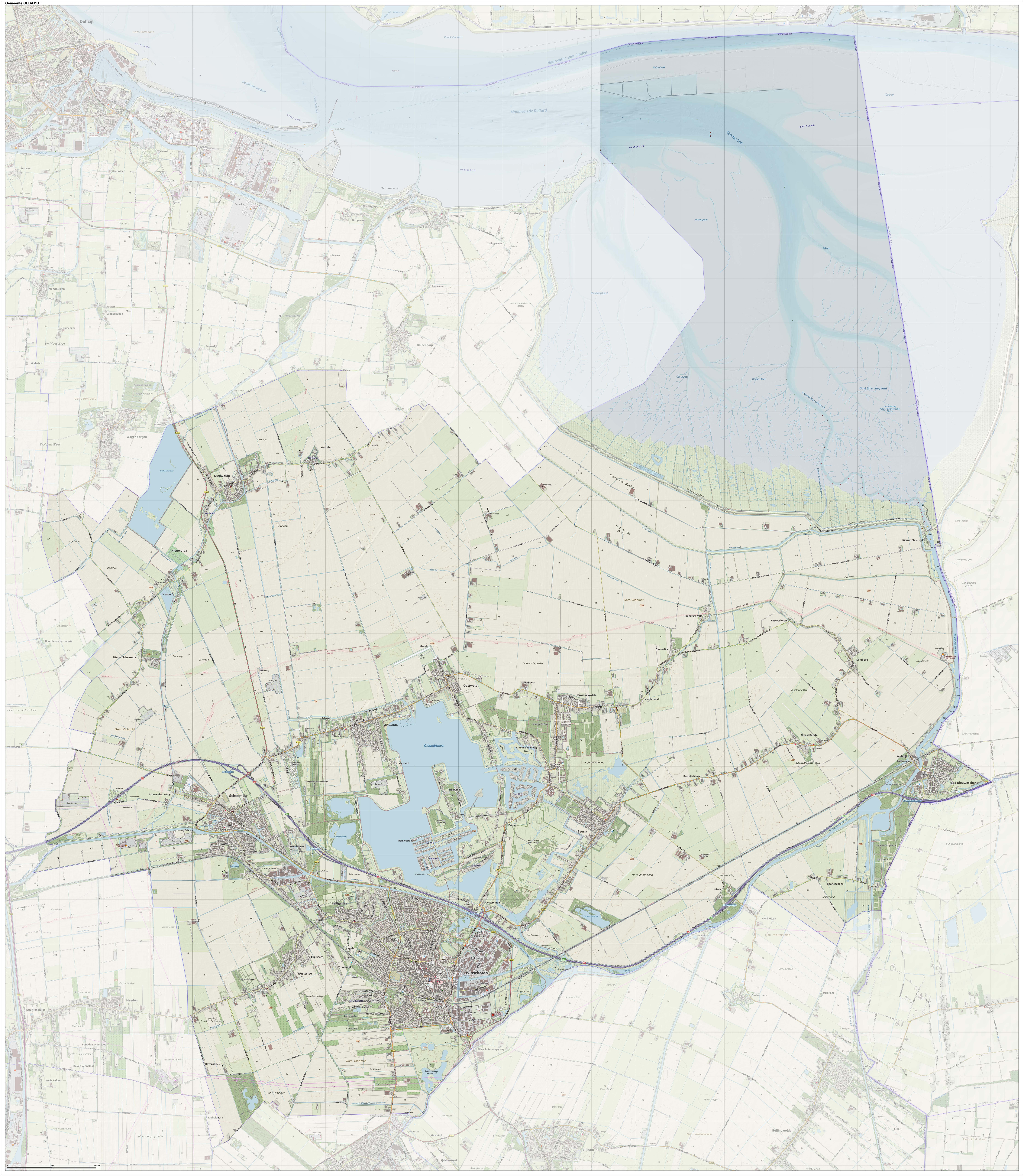
Oldambt () is a municipality with a population of in the province of Groningen in the Netherlands. It was established in 2010 by merging the municipalities of Reiderland, Scheemda, and Winschoten. It contains the city of Winschoten and these villages: History The name "Oldambt" from "Ol dambt" meaning "the old fill" is derived from land reclamation efforts, starting after the catastrophic floodings of the 13th century. The municipality of Oldambt was established 1 January 2010, as a merger of the former municipalities of Reiderland, Scheemda and Winschoten. Geography Oldambt is located at in the northeast of the province of Groningen in the northeast of the Netherlands on the border with Germany. Near Bad Nieuweschans is the easternmost point of the Netherlands. The municipality falls within the region of Oldambt and the western part falls within the region of Rheiderland. The municipality is bordered by the Dutch municipalities of Delfzijl (in the north), Slocht ... [...More Info...] [...Related Items...] OR: [Wikipedia] [Google] [Baidu] |
Groningen (province)
Groningen (; gos, Grunn; fry, Grinslân) is the northeasternmost province of the Netherlands. It borders on Friesland to the west, Drenthe to the south, the German state of Lower Saxony to the east, and the Wadden Sea to the north. As of February 2020, Groningen had a population of 586,309 and a total area of . Historically the area was at different times part of Frisia, the Frankish Empire, the Holy Roman Empire, and the Dutch Republic, the precursor state of the modern Netherlands. In the 14th century, the city of Groningen became a member of the Hanseatic League. The provincial capital and the largest city in the province is the city of Groningen (231,299 inhabitants). Since 2016, René Paas has been the King's Commissioner in the province. A coalition of GroenLinks, the Labour Party, ChristianUnion, People's Party for Freedom and Democracy, Democrats 66, and Christian Democratic Appeal forms the executive branch. The province is divided into 10 municipalities. T ... [...More Info...] [...Related Items...] OR: [Wikipedia] [Google] [Baidu] |
Het Hogeland
Het Hogeland is a municipality in the north of the province of Groningen (province), Groningen in the northeast of the Netherlands. History The municipality of Het Hogeland was established on 1 January 2019 by merging the municipalities of Bedum, De Marne, Eemsmond and Winsum. Geography Het Hogeland is located around in the north of the province of Groningen (province), Groningen and in the northeast of the Netherlands. The population centers in the municipality are: Broek (Groningen), Broek, Eemshaven, Eenrum, Ellerhuizen, Eppenhuizen, Hornhuizen, Houwerzijl, Kantens, Kleine Huisjes, Kloosterburen, Kruisweg, Het Hogeland, Kruisweg, Lauwersoog, Leens, Mensingeweer, Molenrij, Niekerk, Het Hogeland, Niekerk, Noordwolde, Groningen, Noordwolde, Oldenzijl, Onderdendam, Oosteinde, Groningen, Oosteinde, Oosternieland, Oudeschip, Pieterburen, Roodeschool, Rottum, Groningen, Rottum, Schouwerzijl, Startenhuizen, Stitswerd, Uithuizen, Uithuizermeeden, Ulrum, Usquert, Vierhuizen, War ... [...More Info...] [...Related Items...] OR: [Wikipedia] [Google] [Baidu] |
Groningen
Groningen (; gos, Grunn or ) is the capital city and main municipality of Groningen province in the Netherlands. The ''capital of the north'', Groningen is the largest place as well as the economic and cultural centre of the northern part of the country; as of December 2021, it had 235,287 inhabitants, making it the sixth largest city/municipality of the Netherlands and the second largest outside the Randstad. Groningen was established more than 950 years ago and gained city rights in 1245. Due to its relatively isolated location from the then successive Dutch centres of power (Utrecht, The Hague, Brussels), Groningen was historically reliant on itself and nearby regions. As a Hanseatic city, it was part of the North German trade network, but later it mainly became a regional market centre. At the height of its power in the 15th century, Groningen could be considered an independent city-state and it remained autonomous until the French era. Today Groningen is a university ci ... [...More Info...] [...Related Items...] OR: [Wikipedia] [Google] [Baidu] |


.jpg)


