|
Cyclone Gillian
Severe Tropical Cyclone Gillian was the second most powerful of the 2013–14 Australian region cyclone season and the strongest in the basin in four years. It developed on 8 March, 2014, in the Gulf of Carpentaria offshore northern Australia. It drifted southeastward, moving over northwestern Queensland on 10 March as a weak tropical cyclone, and subsequently turned to the southwest and later to the west. Unfavourable wind shear, land interaction, and dry air prevented much restrengthening, and for several days Gillian was a weak low pressure area, tropical low. The storm moved northward and curved westward around the Top End of northwestern Australia, and subsequently moved across several islands in Indonesia, first Timor on 18 March. On 21 March, Gillian again became a tropical cyclone as it moved away from Indonesia. On the next day, it passed just southeast of Christmas Island as an intensifying storm, and subsequently Gillian underwent rapid deepening. On ... [...More Info...] [...Related Items...] OR: [Wikipedia] [Google] [Baidu] |
Rapid Intensification
In meteorology, rapid intensification is a situation where a tropical cyclone intensifies dramatically in a short period of time. The United States National Hurricane Center defines rapid intensification as an increase in the maximum sustained winds of a tropical cyclone of at least in a 24-hour period. Necessary conditions External In order for rapid intensification to occur, several conditions must be in place. Water temperatures must be extremely warm (near or above ), and water of this temperature must be sufficiently deep such that waves do not churn deeper cooler waters up to the surface. Wind shear must be low; when wind shear is high, the convection and circulation in the cyclone will be disrupted. Dry air can also limit the strengthening of tropical cyclones. Internal Usually, an anticyclone in the upper layers of the troposphere above the storm must also be present for extremely low surface pressures to develop. This is because air must be converging towards the low p ... [...More Info...] [...Related Items...] OR: [Wikipedia] [Google] [Baidu] |
Wind Shear
Wind shear (or windshear), sometimes referred to as wind gradient, is a difference in wind speed and/or direction over a relatively short distance in the atmosphere. Atmospheric wind shear is normally described as either vertical or horizontal wind shear. Vertical wind shear is a change in wind speed or direction with a change in altitude. Horizontal wind shear is a change in wind speed with a change in lateral position for a given altitude. Wind shear is a microscale meteorological phenomenon occurring over a very small distance, but it can be associated with mesoscale or synoptic scale weather features such as squall lines and cold fronts. It is commonly observed near microbursts and downbursts caused by thunderstorms, fronts, areas of locally higher low-level winds referred to as low-level jets, near mountains, radiation inversions that occur due to clear skies and calm winds, buildings, wind turbines, and sailboats. Wind shear has significant effects on the contro ... [...More Info...] [...Related Items...] OR: [Wikipedia] [Google] [Baidu] |
Ridge (meteorology)
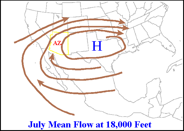
A ridge or barometric ridge is a term in meteorology describing an elongated area of relatively high atmospheric pressure compared to the surrounding environment, without being a closed circulation. It is associated with an area of maximum anticyclonic curvature of wind flow. The ridge originates in the center of an anticyclone and sandwiched between two low-pressure areas, and the locus of the maximum curvature is called the ''ridge line''. This phenomenon is the opposite of a trough. Description Ridges can be represented in two ways: * On surface weather maps, the pressure isobars form contours where the maximum pressure is found along the axis of the ridge. * In upper-air maps, geopotential height isohypses form similar contours where the maximum defines the ridge. Related weather Given the direction of the winds around an anticyclonic circulation and the fact that weather systems move from west to east: *ahead of an upper-ridge, the airflow that comes from the polar ... [...More Info...] [...Related Items...] OR: [Wikipedia] [Google] [Baidu] |
Outflow (meteorology)
Outflow, in meteorology, is air that flows outwards from a storm system. It is associated with ridging, or anticyclonic flow. In the low levels of the troposphere, outflow radiates from thunderstorms in the form of a wedge of rain-cooled air, which is visible as a thin rope-like cloud on weather satellite imagery or a fine line on weather radar imagery. For observers on the ground, a thunderstorm outflow boundary often approaches in otherwise clear skies as a low, thick cloud that brings with it a gust front. Low-level outflow boundaries can disrupt the center of small tropical cyclones. However, outflow aloft is essential for the strengthening of a tropical cyclone. If this outflow is restricted or undercut, the tropical cyclone weakens. If two tropical cyclones are in close proximity, the upper-level outflow from the upwind system can limit the development of the other system. Thunderstorms For thunderstorms, outflow tends to indicate the development of a system. Large qu ... [...More Info...] [...Related Items...] OR: [Wikipedia] [Google] [Baidu] |
Sea Surface Temperature
Sea surface temperature (SST), or ocean surface temperature, is the ocean temperature close to the surface. The exact meaning of ''surface'' varies according to the measurement method used, but it is between and below the sea surface. Air masses in the Earth's atmosphere are highly modified by sea surface temperatures within a short distance of the shore. Localized areas of heavy snow can form in bands downwind of warm water bodies within an otherwise cold air mass. Warm sea surface temperatures are known to be a cause of tropical cyclogenesis over the Earth's oceans. Tropical cyclones can also cause a cool wake, due to turbulent mixing of the upper of the ocean. SST changes diurnally, like the air above it, but to a lesser degree. There is less SST variation on breezy days than on calm days. In addition, ocean currents such as the Atlantic Multidecadal Oscillation (AMO), can affect SST's on multi-decadal time scales, a major impact results from the global thermohali ... [...More Info...] [...Related Items...] OR: [Wikipedia] [Google] [Baidu] |
Tropical Cyclogenesis
Tropical cyclogenesis is the development and strengthening of a tropical cyclone in the atmosphere. The mechanisms through which tropical cyclogenesis occurs are distinctly different from those through which temperate cyclogenesis occurs. Tropical cyclogenesis involves the development of a warm-core cyclone, due to significant convection in a favorable atmospheric environment. Tropical cyclogenesis requires six main factors: sufficiently warm sea surface temperatures (at least ), atmospheric instability, high humidity in the lower to middle levels of the troposphere, enough Coriolis force to develop a low-pressure center, a pre-existing low-level focus or disturbance, and low vertical wind shear. Tropical cyclones tend to develop during the summer, but have been noted in nearly every month in most basins. Climate cycles such as ENSO and the Madden–Julian oscillation modulate the timing and frequency of tropical cyclone development. There is a limit on tropical cyclon ... [...More Info...] [...Related Items...] OR: [Wikipedia] [Google] [Baidu] |
Darwin, Northern Territory
Darwin ( ; Larrakia: ) is the capital city of the Northern Territory, Australia. With an estimated population of 147,255 as of 2019, the city contains the majority of the residents of the sparsely populated Northern Territory. It is the smallest, wettest, and most northerly of the Australian capital cities and serves as the Top End's regional centre. Darwin's proximity to Southeast Asia makes the city's location a key link between Australia and countries such as Indonesia and East Timor. The Stuart Highway begins in Darwin, extends southerly across central Australia through Tennant Creek and Alice Springs, concluding in Port Augusta, South Australia. The city is built upon a low bluff overlooking Darwin Harbour. Darwin's suburbs begin at Lee Point in the north and stretch to Berrimah in the east. The Stuart Highway extends to Darwin's eastern satellite city of Palmerston and its suburbs. The Darwin region, like much of the Top End, experiences a tropical climate wi ... [...More Info...] [...Related Items...] OR: [Wikipedia] [Google] [Baidu] |
Coordinated Universal Time
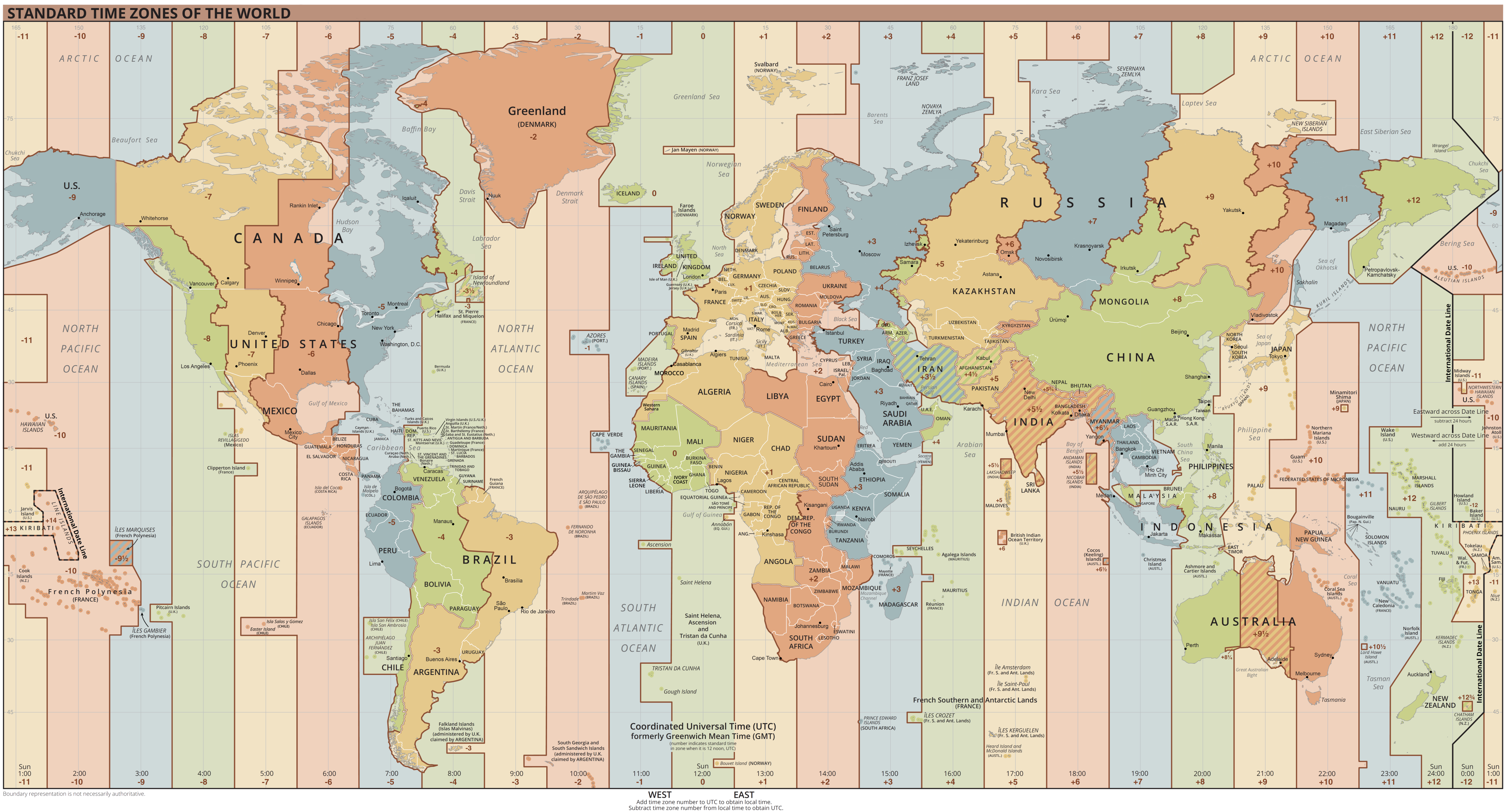
Coordinated Universal Time or UTC is the primary time standard by which the world regulates clocks and time. It is within about one second of mean solar time (such as UT1) at 0° longitude (at the IERS Reference Meridian as the currently used prime meridian) and is not adjusted for daylight saving time. It is effectively a successor to Greenwich Mean Time (GMT). The coordination of time and frequency transmissions around the world began on 1 January 1960. UTC was first officially adopted as CCIR Recommendation 374, ''Standard-Frequency and Time-Signal Emissions'', in 1963, but the official abbreviation of UTC and the official English name of Coordinated Universal Time (along with the French equivalent) were not adopted until 1967. The system has been adjusted several times, including a brief period during which the time-coordination radio signals broadcast both UTC and "Stepped Atomic Time (SAT)" before a new UTC was adopted in 1970 and implemented in 1972. This change ... [...More Info...] [...Related Items...] OR: [Wikipedia] [Google] [Baidu] |
National Oceanic And Atmospheric Administration
The National Oceanic and Atmospheric Administration (abbreviated as NOAA ) is an United States scientific and regulatory agency within the United States Department of Commerce that forecasts weather, monitors oceanic and atmospheric conditions, charts the seas, conducts deep sea exploration, and manages fishing and protection of marine mammals and endangered species in the U.S. exclusive economic zone. Purpose and function NOAA's specific roles include: * ''Supplying Environmental Information Products''. NOAA supplies to its customers and partners information pertaining to the state of the oceans and the atmosphere, such as weather warnings and forecasts via the National Weather Service. NOAA's information services extend as well to climate, ecosystems, and commerce. * ''Providing Environmental Stewardship Services''. NOAA is a steward of U.S. coastal and marine environments. In coordination with federal, state, local, tribal and international authorities, NOAA manages the ... [...More Info...] [...Related Items...] OR: [Wikipedia] [Google] [Baidu] |
Tropical Cyclone
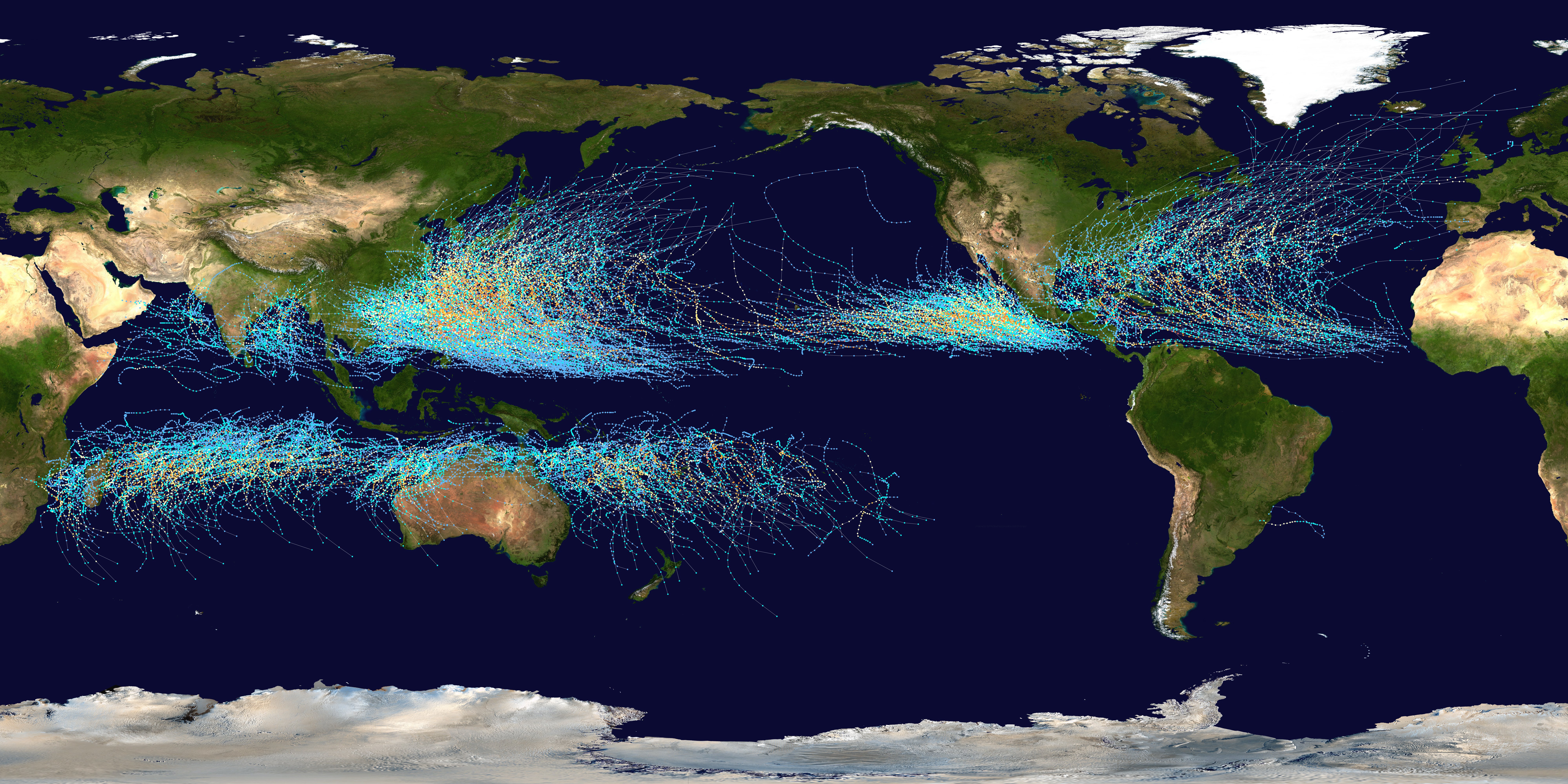
A tropical cyclone is a rapidly rotating storm system characterized by a low-pressure center, a closed low-level atmospheric circulation, strong winds, and a spiral arrangement of thunderstorms that produce heavy rain and squalls. Depending on its location and strength, a tropical cyclone is referred to by different names, including hurricane (), typhoon (), tropical storm, cyclonic storm, tropical depression, or simply cyclone. A hurricane is a strong tropical cyclone that occurs in the Atlantic Ocean or northeastern Pacific Ocean, and a typhoon occurs in the northwestern Pacific Ocean. In the Indian Ocean, South Pacific, or (rarely) South Atlantic, comparable storms are referred to simply as "tropical cyclones", and such storms in the Indian Ocean can also be called "severe cyclonic storms". "Tropical" refers to the geographical origin of these systems, which form almost exclusively over tropical seas. "Cyclone" refers to their winds moving in a circle, whirling ... [...More Info...] [...Related Items...] OR: [Wikipedia] [Google] [Baidu] |
Rainband
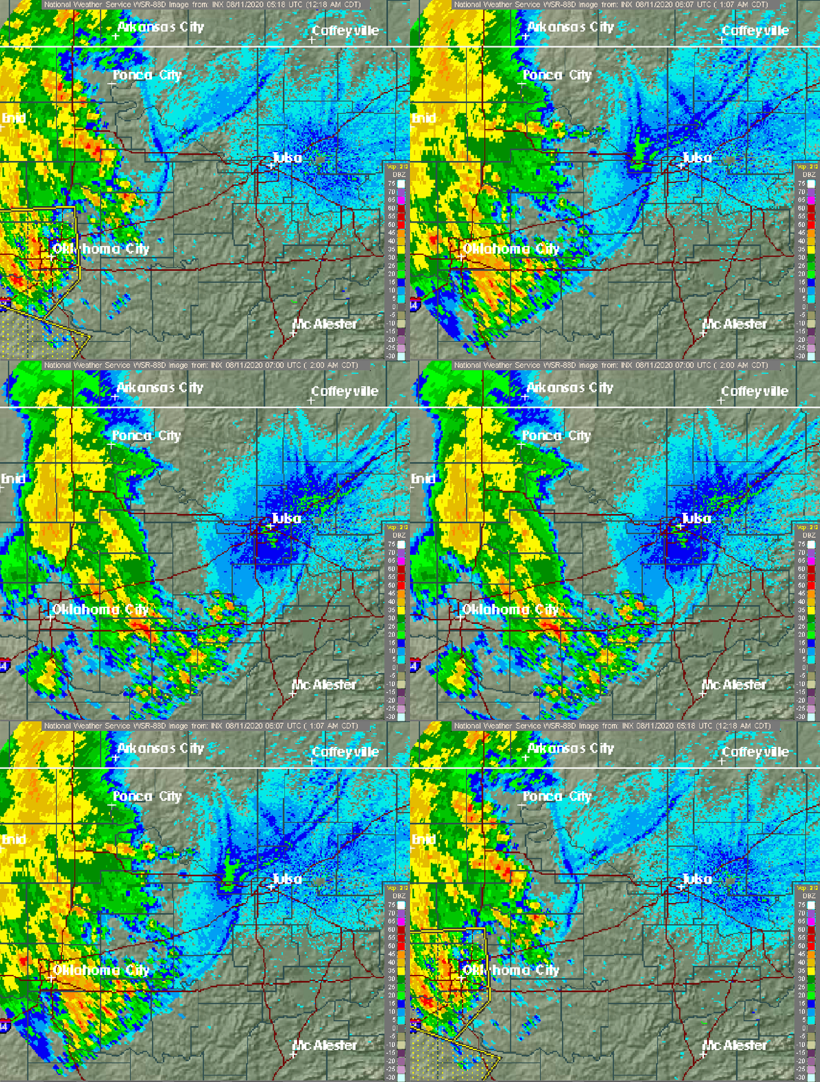
A rainband is a cloud and precipitation structure associated with an area of rainfall which is significantly elongated. Rainbands can be stratiform or convective, and are generated by differences in temperature. When noted on weather radar imagery, this precipitation elongation is referred to as banded structure. Rainbands within tropical cyclones are curved in orientation. Rainbands of tropical cyclones contain showers and thunderstorms that, together with the eyewall and the eye, constitute a hurricane or tropical storm. The extent of rainbands around a tropical cyclone can help determine the cyclone's intensity. Rainbands spawned near and ahead of cold fronts can be squall lines which are able to produce tornadoes. Rainbands associated with cold fronts can be warped by mountain barriers perpendicular to the front's orientation due to the formation of a low-level barrier jet. Bands of thunderstorms can form with sea breeze and land breeze boundaries, if enough moist ... [...More Info...] [...Related Items...] OR: [Wikipedia] [Google] [Baidu] |
Convection (meteorology)
Atmospheric convection is the result of a parcel-environment instability, or temperature difference layer in the atmosphere. Different lapse rates within dry and moist air masses lead to instability. Mixing of air during the day which expands the height of the planetary boundary layer leads to increased winds, cumulus cloud development, and decreased surface dew points. Moist convection leads to thunderstorm development, which is often responsible for severe weather throughout the world. Special threats from thunderstorms include hail, downbursts, and tornadoes. Overview There are a few general archetypes of atmospheric instability that are used to explain convection (or lack thereof). A necessary (but not sufficient) condition for convection is that the environmental lapse rate (the rate of decrease of temperature with height) is steeper than the lapse rate experienced by a rising parcel of air. When this condition is met, upward-displaced air parcels can become buoyant and th ... [...More Info...] [...Related Items...] OR: [Wikipedia] [Google] [Baidu] |


.jpg)

