|
Custer County, Idaho
Custer County is a rural mountain county in the center of the U.S. state of Idaho. As of the 2020 census, the population was 4,275. The county seat is Challis. Established in 1881, the county was named for the General Custer Mine, where gold was discovered five years earlier. Custer County relies on ranching, mining, and tourism as its main resources. Geography According to the U.S. Census Bureau, the county has a total area of , of which is land and (0.3%) is water. It is the third-largest county in Idaho by area. The Lost River Range, the state's highest mountains, are located in eastern Custer County. The highest is Borah Peak, the highest natural point in Idaho at . On the western border of the county is Idaho's famous Sawtooth Range; the tallest is Thompson Peak in Custer County, above picturesque Redfish Lake. Twenty miles (32 km) east are the White Cloud Mountains, the tallest of which is Castle Peak at . The Salmon River and Big Lost River flow thr ... [...More Info...] [...Related Items...] OR: [Wikipedia] [Google] [Baidu] |
Land Of The Yankee Fork State Park
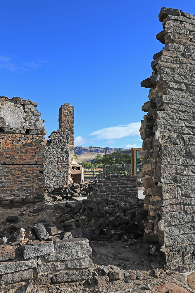
Land of the Yankee Fork State Park is a history-oriented public recreation area covering in Custer County, Idaho, United States. The state park interprets Idaho's frontier mining history, including the ghost towns Bayhorse, Bonanza, and Custer. The interpretive center near Challis has a museum and gold panning station. The park was created in 1990 with the purchase of twenty acres where the interpretive center is located two miles south of Challis. It is operated by the Idaho Department of Parks and Recreation in cooperation with the United States Forest Service. See also * List of Idaho state parks * National Parks in Idaho The six national parks, reserves, historic sites, and monuments in Idaho contain a wide variety of interesting places and experiences. These include recreational areas, archeological sites, nature preserves and volcanic parks. The parks City of ... References External links Land of the Yankee Fork State ParkIdaho Parks and RecreationLand of the Y ... [...More Info...] [...Related Items...] OR: [Wikipedia] [Google] [Baidu] |
Salmon River (Idaho)
The Salmon River, also known as "The River of No Return", is a river located in the U.S. state of Idaho in the western United States. It flows for through central Idaho, draining a rugged, thinly populated watershed of . The river drops more than from its headwaters, near Galena Summit above the Sawtooth Valley in the Sawtooth National Recreation Area, to its confluence with the Snake River. Measured at White Bird, its average discharge is . The Salmon River is the longest undammed river in the contiguous United States and the longest within a single state outside Alaska. Settlements located along the Salmon River include Stanley, Clayton, Challis, Salmon, Riggins, and White Bird. Redfish Lake and Little Redfish Lake, which flow into the river via Redfish Lake Creek, are the termini of the longest Pacific sockeye salmon migration in North America. The lower half of the river provides the time zone boundary for the state, with northern Idaho on Pacific Ti ... [...More Info...] [...Related Items...] OR: [Wikipedia] [Google] [Baidu] |
Jim McClure–Jerry Peak Wilderness
The Jim McClure–Jerry Peak Wilderness is a protected area in Salmon-Challis National Forest and Bureau of Land Management land in Custer County, Idaho, United States. The wilderness directly adjoins the Hemingway–Boulders Wilderness on its southwest side and is east of the Cecil D. Andrus–White Clouds Wilderness, which it does not directly adjoin. It is named for Jim McClure who was a Senator from Idaho. The area was added to the National Wilderness Preservation System on August 7, 2015 with the passage of the Sawtooth National Recreation Area and Jerry Peak Wilderness Additions Act (), which was sponsored by Representative Mike Simpson and passed Congress without objection before being signed into law by President Barack Obama Barack Hussein Obama II ( ; born August 4, 1961) is an American politician who served as the 44th president of the United States from 2009 to 2017. A member of the Democratic Party (United States), Democratic Party, Obama was the first ... [...More Info...] [...Related Items...] OR: [Wikipedia] [Google] [Baidu] |
Hemingway–Boulders Wilderness
The Hemingway–Boulders Wilderness is a protected area in the western United States, located in the Sawtooth National Recreation Area in central Idaho. Part of the Sawtooth National Forest in Blaine and Custer counties, the wilderness covers part of the Boulder Mountains and directly adjoins the Jim McClure–Jerry Peak Wilderness on its northeast side and is south of the Cecil D. Andrus–White Clouds Wilderness, which it does not directly adjoin. It is named for the Boulder Mountains and writer Ernest Hemingway, who was a resident of nearby Ketchum. The area was added to the National Wilderness Preservation System on August 7, 2015, with the passage of the Sawtooth National Recreation Area and Jerry Peak Wilderness Additions Act (); sponsored by Representative Mike Simpson, it passed Congress without objection and was signed into law by President Barack Obama Barack Hussein Obama II ( ; born August 4, 1961) is an American politician who served as the 44th pres ... [...More Info...] [...Related Items...] OR: [Wikipedia] [Google] [Baidu] |
Sawtooth National Recreation Area
The Sawtooth National Recreation Area (SNRA) is a national recreation area in central Idaho, United States that is managed as part of Sawtooth National Forest. The recreation area, established on August 22, 1972, is managed by the U.S. Forest Service, and includes the Sawtooth, Hemingway–Boulders, and Cecil D. Andrus–White Clouds wilderness areas. Activities within the recreation area include hiking, backpacking, White water rafting, camping, rock climbing, kayaking, mountain biking, fishing, and hunting. The SNRA headquarters are about seven miles (11 km) north of Ketchum on Highway 75. SNRA also has a ranger station in Stanley, near its northern boundary. History The SNRA was created on August 22, 1972 by , which including creating the Sawtooth Wilderness from the Sawtooth Primitive Area. The White Clouds and Hemingway–Boulders wilderness areas were created on August 7, 2015 by Public Law 114-46. Between 1998 and 2010 an outbreak of Mountain pine beetl ... [...More Info...] [...Related Items...] OR: [Wikipedia] [Google] [Baidu] |
Sawtooth National Forest
Sawtooth National Forest is a National Forest that covers 2,110,408 acres (854,052 ha) in the U.S. states of Idaho (~96 percent) and Utah (~4 percent). Managed by the U.S. Forest Service in the U.S. Department of Agriculture, it was originally named the Sawtooth Forest Reserve in a proclamation issued by President Theodore Roosevelt on May 29, 1905. On August 22, 1972 a portion of the forest was designated as the Sawtooth National Recreation Area (SNRA), which includes the Sawtooth, Cecil D. Andrus–White Clouds, and Hemingway–Boulders wilderness areas. The forest is managed as four units: the SNRA and the Fairfield, Ketchum, and Minidoka Ranger Districts. Sawtooth National Forest is named for the Sawtooth Mountains, which traverse part of the SNRA. The forest also contains the Albion, Black Pine, Boise, Boulder, Pioneer, Raft River, Smoky, Soldier, Sublett, and White Cloud mountain ranges, as well as Hyndman Peak, the ninth-highest point in Idaho at above ... [...More Info...] [...Related Items...] OR: [Wikipedia] [Google] [Baidu] |
Challis National Forest , a surname
{{disambiguation, geo ...
Challis may refer to: People * Challis (surname) Places * Challis, Idaho * Challis, New Zealand Other uses * Challis (crater), a crater on Earth's moon * Challis railway station * "Challis", a song by American heavy metal band Dio off their 2000 studio album '' Magica'' * Challis (fabric), a printed woven fabric. See also * Chalice, a cup used in religious ceremonies * Chalise Chalise (pronounced: /cha.li.se/) ( ne, चालिसे) is a Khas Hindu family name found in Nepal. People with this name are mostly members of the Bahun (Brahmin) caste. According to legend, some priests of Bhattarai caste completed forty (' ... [...More Info...] [...Related Items...] OR: [Wikipedia] [Google] [Baidu] |
US 93
U.S. Route 93 (US 93) is a major north–south numbered highway in the western United States. The southern terminus is at US 60 in Wickenburg, Arizona. The northern terminus is at the Canadian border north of Eureka in Lincoln County, Montana, where the roadway continues into Roosville, British Columbia, as Highway 93. Major cities that US 93 travels through include Kingman, Arizona; Las Vegas, Nevada; Twin Falls, Idaho; and Missoula, Montana. Route description Arizona US 93 begins at US 60 in Wickenburg, a small town approximately northwest of Phoenix. Thirty miles northwest of Wickenburg, US 93 passes through a large forest of Joshua trees and is thus labeled the Joshua Forest Parkway of Arizona until it reaches Wikieup. From there, it heads north, eventually merging with I-40 to head west to Kingman. US 93 then splits from I-40 in Kingman and heads north to the Hoover Dam. Chloride is located off this highway, and Santa Claus is on the western side, ... [...More Info...] [...Related Items...] OR: [Wikipedia] [Google] [Baidu] |
Valley County, Idaho
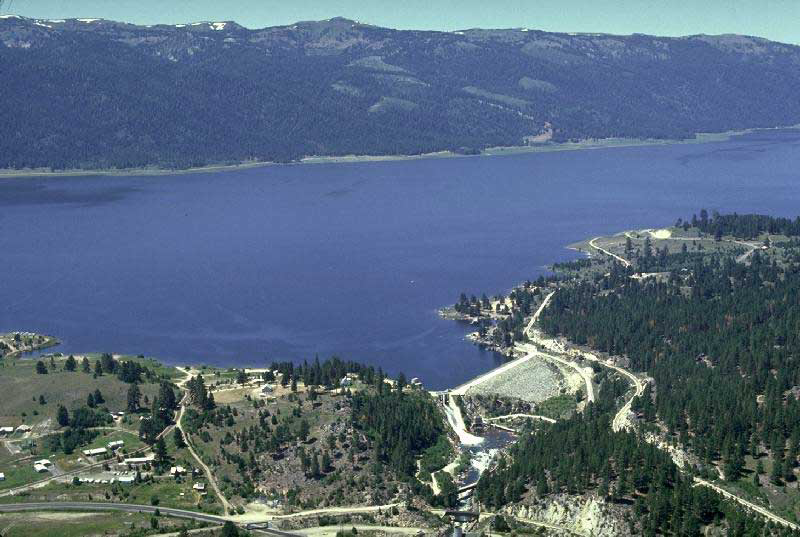
Valley County is a rural county located in the U.S. state of Idaho. As of the 2020 census, the population was 11,746. The county seat is Cascade, and the largest city is McCall. Established in 1917, it was named after the Long Valley of the North Fork of the Payette River, which extends over from Payette Lake at McCall south to Cascade to Round Valley. The valley was formerly a summer pasture for livestock from the Boise Valley. Since the completion of the Cascade Dam in 1948, much of the northern valley has been covered by the Cascade Reservoir. Valley County is home to the Idaho ground squirrel. History Packer John Welch, who had contracted to freight supplies to miners of Idaho City, established a camp on Gold Fork Creek and a brush cabin on Clear Creek in the 1860s.History of Valley County Valley County ... [...More Info...] [...Related Items...] OR: [Wikipedia] [Google] [Baidu] |
Boise County, Idaho
Boise County is a rural mountain county in the U.S. state of Idaho. As of the 2020 United States Census, the population was 7,610. The county seat is historic Idaho City, which is connected through a series of paved and unpaved roads to Lowman, Centerville, Placerville, Pioneerville, Star Ranch, Crouch, Garden Valley, and Horseshoe Bend. Boise County is part of the Boise, ID Metropolitan Statistical Area. The Bogus Basin ski area is in the southwestern part of the county. The county's eastern area contains the central section of the Sawtooth Wilderness, the western part of the Sawtooth National Recreation Area. In 2010, the center of Idaho's population was in Boise County. History The county was established on February 4, 1864, with its county seat at Idaho City. It was named for the Boise River, which was named by French-Canadian explorers and trappers for the great variety of trees growing along its banks in the lower desert valley. The county is one of four ... [...More Info...] [...Related Items...] OR: [Wikipedia] [Google] [Baidu] |
Elmore County, Idaho
Elmore County is a county in the U.S. state of Idaho. As of the 2020 census, the population was 28,666. The largest city and county seat is Mountain Home. Elmore County comprises the Mountain Home, ID Micropolitan Statistical Area, which is also included in the Boise-Mountain Home-Ontario, ID- OR Combined Statistical Area. History Elmore County was established February 7, 1889, with its county seat at Rocky Bar. It is named after the Ida Elmore mines, the area's greatest silver and gold producer of the 1860s, located near Silver City in Owyhee County. While the Oregon Trail crossed the Snake River in Elmore County, at Three Island Crossing near Glenns Ferry, the significant early settlements of Elmore County were mining settlements located primarily in northern Elmore County surrounding the ghost town of Rocky Bar. Settlement at Rocky Bar commenced in 1863 with the settlement having 560 residents at the Territorial Census of that year. Nearby, Atlanta was settled in 1 ... [...More Info...] [...Related Items...] OR: [Wikipedia] [Google] [Baidu] |
Blaine County, Idaho
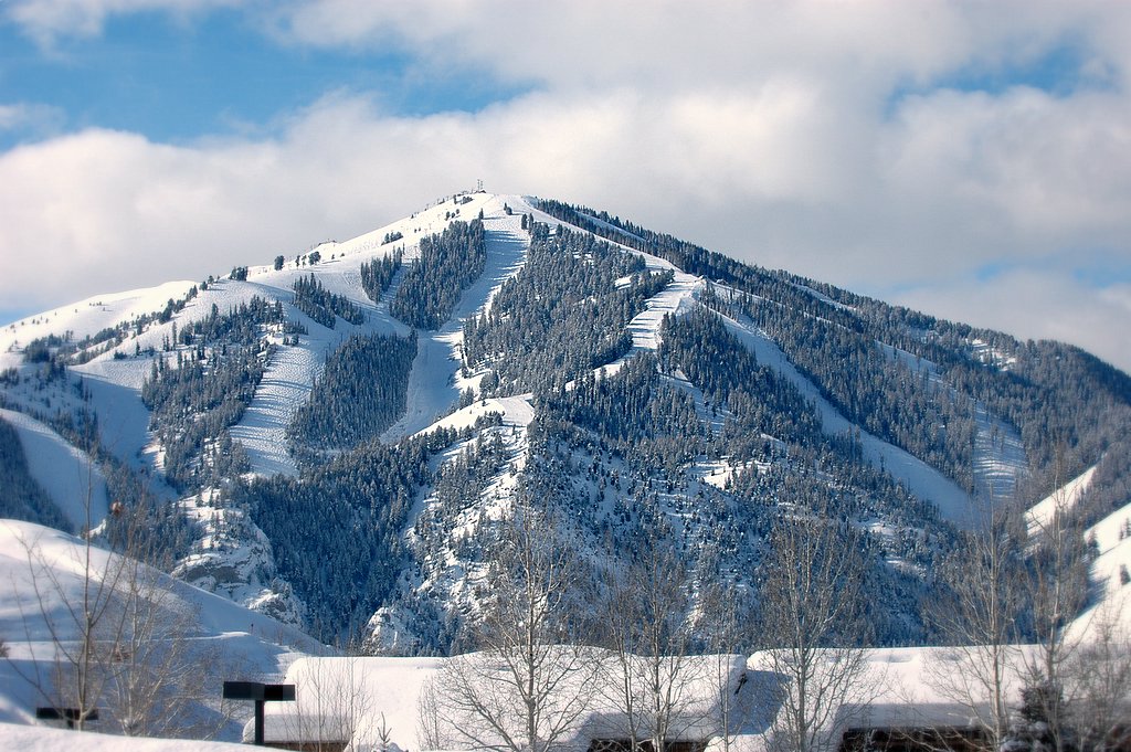
Blaine County is a county in the U.S. state of Idaho. As of the 2020 United States Census, the population was 24,272. The county seat and largest city is Hailey. It is also home to the Sun Valley ski resort, adjacent to Ketchum. Blaine County was created by the territorial legislature on March 5, 1895, by combining Alturas and Logan counties; it was named for former congressman and 1884 Republican presidential nominee James G. Blaine. Its present boundaries were set on February 8, 1917, when a western portion was partitioned off to form Camas County. Blaine County is part of the Hailey, ID Micropolitan Statistical Area. History The Wood River Valley in present-day Blaine County was organized as part of Alturas County by the Idaho Territorial Legislature in 1864. By the 1880s the valley supported a thriving mining commerce; in 1882 the county seat of Alturas County was moved from Rocky Bar in present-day Elmore County to Hailey, in response to a population shift from ... [...More Info...] [...Related Items...] OR: [Wikipedia] [Google] [Baidu] |


