|
Cramer Hill, Camden
Cramer Hill is a neighborhood in the East Camden section of the City of Camden, New Jersey. Cramer Hill (and the entire section of East Camden) was formed upon the annexation of Stockton town by the City of Camden on March 24, 1899. In the early days of East Camden, Cramer Hill was one of several constituent neighborhood names that included Pavonia, Beideman, Stockton, Rosedale, and Marlton. The Pavonia name has become obsolete; Beideman was once known as "North Cramer Hill". The boundaries of Cramer Hill are sometimes considered to be State Street to the south, the Pavonia Railroad Yard and railroad lines to the east, 36th Street (also the border with Pennsauken Township) to the north, and the Delaware River to the west. Cramer Hill is located in the northeastern section of Camden. The primary road running through Cramer Hill is River Road, which runs southwest to northeast. River Road is a county road known as CR 543. According to the 2000 U.S. Census, the neighborhood has ... [...More Info...] [...Related Items...] OR: [Wikipedia] [Google] [Baidu] |
Camden, New Jersey
Camden is a city in and the county seat of Camden County, in the U.S. state of New Jersey. Camden is part of the Delaware Valley metropolitan area and is located directly across the Delaware River from Philadelphia, Pennsylvania. At the 2020 U.S. census, the city had a population of 71,791.Camden city, Camden County, New Jersey . Accessed April 26, 2022. The 's [...More Info...] [...Related Items...] OR: [Wikipedia] [Google] [Baidu] |
New Jersey
New Jersey is a state in the Mid-Atlantic and Northeastern regions of the United States. It is bordered on the north and east by the state of New York; on the east, southeast, and south by the Atlantic Ocean; on the west by the Delaware River and Pennsylvania; and on the southwest by Delaware Bay and the state of Delaware. At , New Jersey is the fifth-smallest state in land area; but with close to 9.3 million residents, it ranks 11th in population and first in population density. The state capital is Trenton, and the most populous city is Newark. With the exception of Warren County, all of the state's 21 counties lie within the combined statistical areas of New York City or Philadelphia. New Jersey was first inhabited by Native Americans for at least 2,800 years, with the Lenape being the dominant group when Europeans arrived in the early 17th century. Dutch and Swedish colonists founded the first European settlements in the state. The British later seized control o ... [...More Info...] [...Related Items...] OR: [Wikipedia] [Google] [Baidu] |
Camden County, New Jersey
Camden County is a county located in the U.S. state of New Jersey. As of the 2020 U.S. census, the county's population was 523,485, an increase of 9,828 (1.9%) from the 2010 census, making it the state's 8th-largest county. Its county seat is Camden.New Jersey County Map , New Jersey Department of State. Accessed July 10, 2017. The most populous place was Cherry Hill with 74,553 residents at the time of the 2020 Census, while Winslow Township covered , the largest total ar ... [...More Info...] [...Related Items...] OR: [Wikipedia] [Google] [Baidu] |
Area Code 856
Area code 856 is a telephone area code in the North American Numbering Plan (NANP) for the southwestern part of the U.S. state of New Jersey. The numbering plan area (NPA) includes the Camden, Cherry Hill, and Vineland areas, as well as a small part of Willingboro Township, and the western part of Burlington County. 856 is essentially coextensive with the New Jersey side of the Philadelphia metropolitan area. The area code was created in 1999 in a split of area code 609. History The entire state of New Jersey was assigned area code 201 in the first configuration of the North American Numbering plan in 1947.1951: First Direct-Dial Transcontinental Telephone Call , acce ... [...More Info...] [...Related Items...] OR: [Wikipedia] [Google] [Baidu] |
Neighborhood
A neighbourhood (British English, Irish English, Australian English and Canadian English) or neighborhood (American English; see spelling differences) is a geographically localised community within a larger city, town, suburb or rural area, sometimes consisting of a single street and the buildings lining it. Neighbourhoods are often social communities with considerable face-to-face interaction among members. Researchers have not agreed on an exact definition, but the following may serve as a starting point: "Neighbourhood is generally defined spatially as a specific geographic area and functionally as a set of social networks. Neighbourhoods, then, are the spatial units in which face-to-face social interactions occur—the personal settings and situations where residents seek to realise common values, socialise youth, and maintain effective social control." Preindustrial cities In the words of the urban scholar Lewis Mumford, "Neighbourhoods, in some annoying, inchoate fashi ... [...More Info...] [...Related Items...] OR: [Wikipedia] [Google] [Baidu] |
Stockton Township, New Jersey
Stockton Township was a township that existed in Camden County, New Jersey, United States, from 1859 until its dissolution in 1899. However, in th1850 US Census Stockton Township is the given enumeration district. Stockton Township was incorporated by an Act of the New Jersey Legislature on February 23, 1859, from portions of Delaware Township (now Cherry Hill Township).Snyder, John P''The Story of New Jersey's Civil Boundaries: 1606–1968'' Bureau of Geology and Topography; Trenton, New Jersey; 1969. p. 108. Accessed December 11, 2012. On March 3, 1874, the borough of Merchantville was formed from portions of the township. Pennsauken Township was established on February 18, 1892. Stockton was reincorporated as a town on May 1, 1894, based on the results of a referendum held on March 22, 1894. On March 24, 1899, the remaining portion of Stockton was annexed by the City of Camden, thereby forming "East Camden" and its constituent neighborhoods of Cramer Hill, Pavonia, Bei ... [...More Info...] [...Related Items...] OR: [Wikipedia] [Google] [Baidu] |
Pavonia Yard
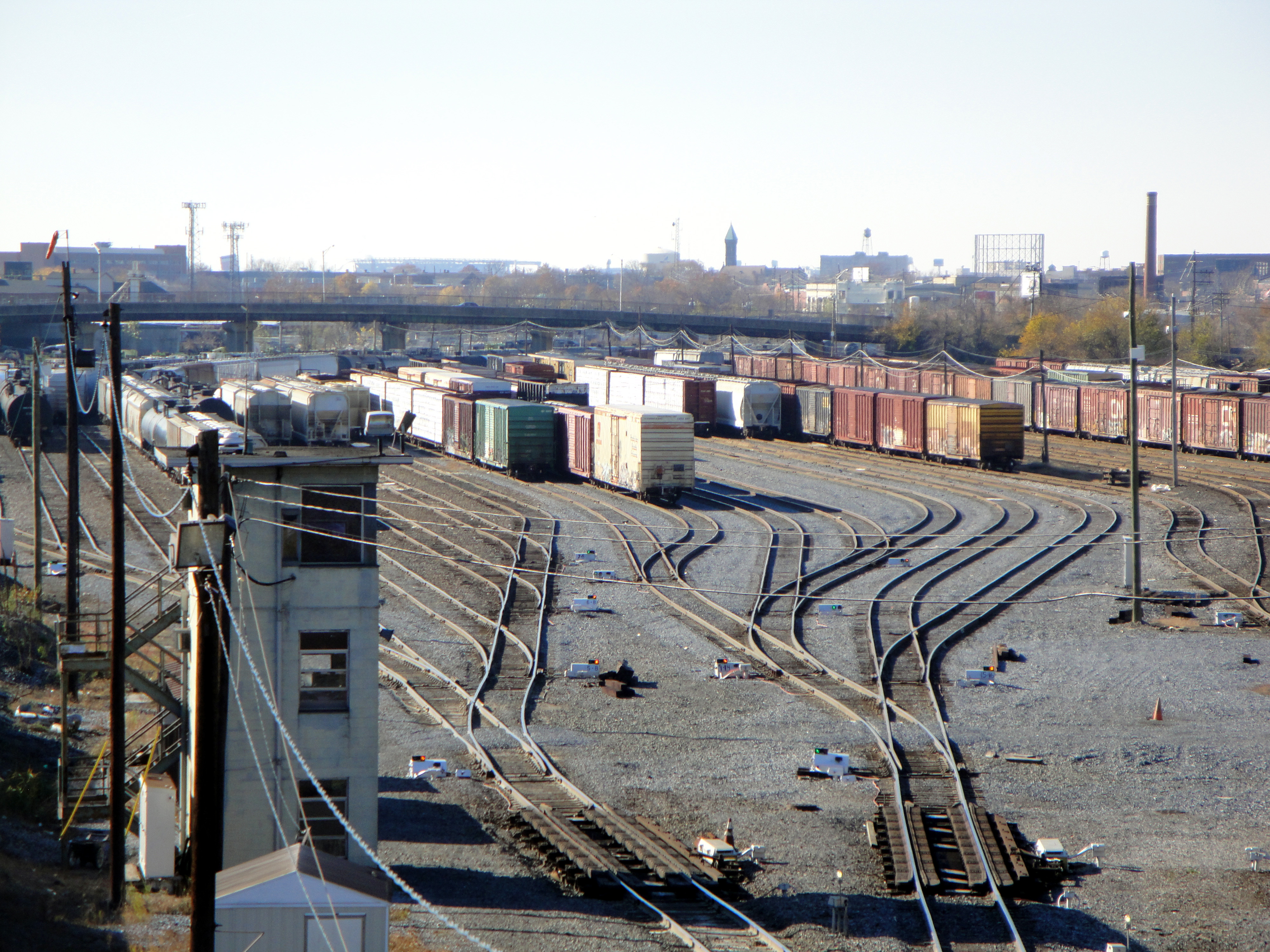
Pavonia Yard is a Conrail Shared Assets Operations (CSAO) rail yard in Camden, New Jersey. The yard begins just north of where the Vineland Secondary tracks cross the Cooper River near the intersection of State and Federal Streets, and continues north until approximately 36th Street, ending near the 36th Street River Line station on the Bordentown Secondary. History It was built by the Pennsylvania Railroad (PRR) and opened in 1888. The yard was used to interchange with the West Jersey and Seashore Railroad (WJ&S) during 1896 to 1932, and with the Pennsylvania-Reading Seashore Lines (P-RSL) during 1932 to 1976. Initially the PRR operated large locomotive and car repair shops at the yard. In later years the engine work was discontinued, but the car repair shops remained in operation through the late 1930s. The yard was rebuilt in the 1960s. Conrail Pavonia Yard serves as CSAO's main classification yard for the Southern New Jersey area. It is a double-ended hump yard with a 32- ... [...More Info...] [...Related Items...] OR: [Wikipedia] [Google] [Baidu] |
Pennsauken Township, New Jersey
Pennsauken Township is a township in Camden County in the U.S. state of New Jersey. It is a suburb of Philadelphia. As of the 2020 U.S. census, the township's population was 37,074, reflecting an increase of 1,189 (+3.3%) from the 35,885 counted in the 2010 census. The township is part of the South Jersey region of the state. History Pennsauken Township was incorporated as a township by an act of the New Jersey Legislature on February 18, 1892, from portions of the now-defunct Stockton Township.Snyder, John P''The Story of New Jersey's Civil Boundaries: 1606-1968'' Bureau of Geology and Topography; Trenton, New Jersey; 1969. p. 108. Accessed July 24, 2012. The exact origin of the name Pennsauken is unclear, but it probably derives from the language of the Lenni Lenape Native Americans, who once occupied the area from "", the Lenape language term for tobacco pouch. Alternatively, the "Penn" in the township's name refers to William Penn, while "sauk" is a water inlet or out ... [...More Info...] [...Related Items...] OR: [Wikipedia] [Google] [Baidu] |
Delaware River
The Delaware River is a major river in the Mid-Atlantic (United States), Mid-Atlantic region of the United States. From the meeting of its branches in Hancock (village), New York, Hancock, New York, the river flows for along the borders of New York (state), New York, Pennsylvania, New Jersey, and Delaware, before emptying into Delaware Bay. It is the longest free-flowing river in the Eastern United States. The river has been recognized by the National Wildlife Federation as one of the country's Great Waters. The river's drainage basin, watershed drains an area of and provides drinking water for 17 million people. The river has two branches that rise in the Catskill Mountains of New York: the West Branch Delaware River, West Branch at Mount Jefferson (New York), Mount Jefferson in Jefferson, New York, Jefferson, Schoharie County, New York, Schoharie County, and the East Branch Delaware River, East Branch at Grand Gorge, New York, Grand Gorge, Delaware County, New York, ... [...More Info...] [...Related Items...] OR: [Wikipedia] [Google] [Baidu] |
County Route 543 (New Jersey)
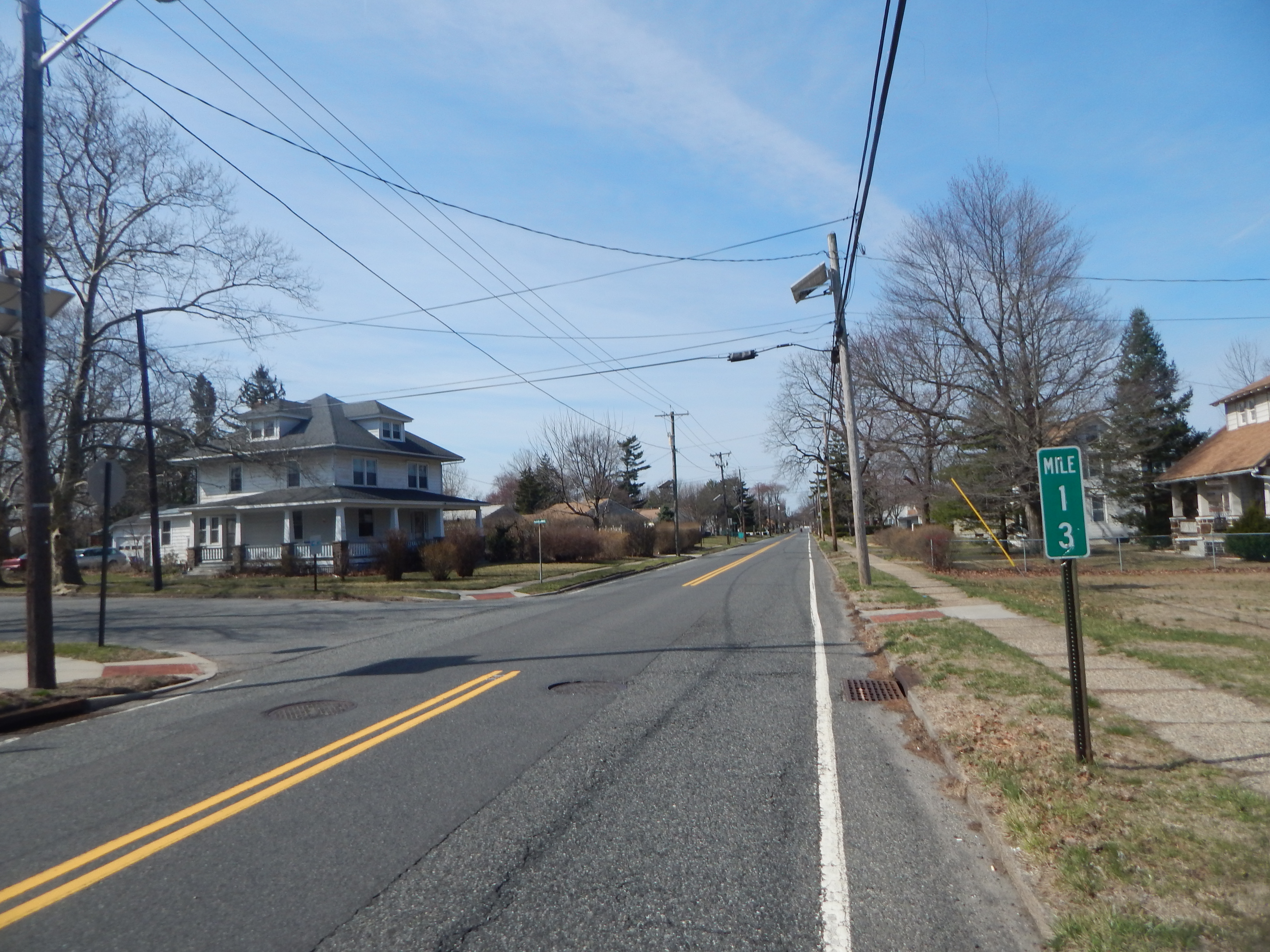
County Route 543 (CR 543) is a county highway in the U.S. state of New Jersey. The highway extends from Federal Street ( CR 537) in Camden to Wrightstown-Georgetown Road ( CR 545) in Mansfield Township. Route description CR 543 begins at an intersection with CR 537 in Camden, Camden County, heading northeast on two-lane undivided River Road through urban industrial areas. The road crosses a set of railroad tracks used by NJ Transit's River Line and Conrail Shared Assets Operations. The route crosses CR 601 and heads into urban residential areas with a few businesses, where it encounters CR 609. Upon crossing CR 611, CR 543 enters Pennsauken Township and turns east through industry, passing over the River Line near the 36th Street Station. From here, the road turns northeast again and passes through suburban areas of homes, intersecting CR 612 Spur and CR 612. After the CR 616 junction, the route heads into industrial areas and intersects CR 760 before passing under NJ Tra ... [...More Info...] [...Related Items...] OR: [Wikipedia] [Google] [Baidu] |
36th Street Station (River Line)
36th Street is an NJ Transit station on the River Line light rail system, located off 36th Street and River Road in the Delaware Gardens neighborhood of Pennsauken Township, in Camden County, New Jersey, United States. It is situated north of Pavonia Yard at the city line with Camden, and as such is the southernmost station of three along the River Line within Pennsauken. The station opened on March 15, 2004. Southbound service from the station is available to the Walter Rand Transportation Center, with transfer available to the PATCO Speedline, and the Camden Waterfront. Northbound service is available to the Pennsauken Transit Center with connection to Atlantic City via the Atlantic City Line and Trenton Transit Center with connections to New Jersey Transit trains to Newark Penn Station, New York Penn Station, SEPTA trains to Philadelphia, and Amtrak trains. Transfers *NJ Transit New Jersey Transit Corporation, branded as NJ Transit, and often shortened to NJT, is a sta ... [...More Info...] [...Related Items...] OR: [Wikipedia] [Google] [Baidu] |


