|
County Borough Of Dudley
The County Borough of Dudley was a local government district in the English Midlands from 1865 to 1974. Originally a municipal borough, it became a county borough in 1889, centred on the main town centre of Dudley, along with the suburbs of Netherton and Woodside. Although surrounded by Staffordshire, the borough was associated with Worcestershire for non-administrative purposes, forming an exclave of the county until 1966, when it was transferred to Staffordshire after an expansion of the borough boundaries. Following local government reorganization in 1974, Dudley took in the boroughs of Halesowen and Stourbridge to form the present-day Metropolitan Borough of Dudley, in the newly formed West Midlands county. History Originally an ancient borough, Dudley had been a municipal borough since 1865. However, in 1889 it was granted county borough status under the Local Government Act 1888. Due to the slum conditions of many houses across the borough, by 1915 the borough counci ... [...More Info...] [...Related Items...] OR: [Wikipedia] [Google] [Baidu] |
County Borough
County borough is a term introduced in 1889 in the United Kingdom of Great Britain and Ireland, to refer to a borough or a city independent of county council control, similar to the unitary authorities created since the 1990s. An equivalent term used in Scotland was a county of city. They were abolished by the Local Government Act 1972 in England and Wales, but continue in use for lieutenancy and shrievalty in Northern Ireland. In the Republic of Ireland they remain in existence but have been renamed ''cities'' under the provisions of the Local Government Act 2001. The Local Government (Wales) Act 1994 re-introduced the term for certain "principal areas" in Wales. Scotland did not have county boroughs but instead had counties of cities. These were abolished on 16 May 1975. All four Scottish cities of the time—Aberdeen, Dundee, Edinburgh, and Glasgow—were included in this category. There was an additional category of large burgh in the Scottish system (similar to a munici ... [...More Info...] [...Related Items...] OR: [Wikipedia] [Google] [Baidu] |
Stourbridge
Stourbridge is a market town in the Metropolitan Borough of Dudley in the West Midlands, England, situated on the River Stour. Historically in Worcestershire, it was the centre of British glass making during the Industrial Revolution. The 2011 UK census recorded the town's population as 63,298. Geography Stourbridge is about west of Birmingham. Sitting within the Metropolitan Borough of Dudley at the southwestern edge of the Black Country and West Midlands conurbation, Stourbridge includes the suburbs of Amblecote, Lye, Norton, Oldswinford, Pedmore,Stambermill, Stourton, Wollaston, Wollescote and Wordsley. Much of Stourbridge consists of residential streets interspersed with green spaces. Mary Stevens Park, opened in 1931, has a lake, a bandstand, a cafe, and a mixture of open spaces and woodland. Bordered by green belt land, Stourbridge is close to countryside with the Clent Hills to the south and southwest Staffordshire and Kinver Edge to the west. Closest cities, tow ... [...More Info...] [...Related Items...] OR: [Wikipedia] [Google] [Baidu] |
West Bromwich
West Bromwich ( ) is a market town in the borough of Sandwell, West Midlands, England. Historically part of Staffordshire, it is north-west of Birmingham. West Bromwich is part of the area known as the Black Country, in terms of geography, culture and dialect. West Bromwich had a population of 77,997 in the 2011 Census. Initially a rural village, West Bromwich's growth corresponded with that of the Industrial Revolution, owing to the area's natural richness in ironstone and coal, as well as its proximity to canals and railway branches. It led to the town becoming a centre for coal mining, brick making, the iron industry and metal trades such as nails, springs and guns. The town's primary economy developed into engineering, manufacturing and the Automotive industry in the United Kingdom, automotive industry through the early 20th century. During the World War II, Second World War, West Bromwich experienced Birmingham Blitz, bombing from the Luftwaffe, German Luftwaffe. It als ... [...More Info...] [...Related Items...] OR: [Wikipedia] [Google] [Baidu] |
Rowley Regis
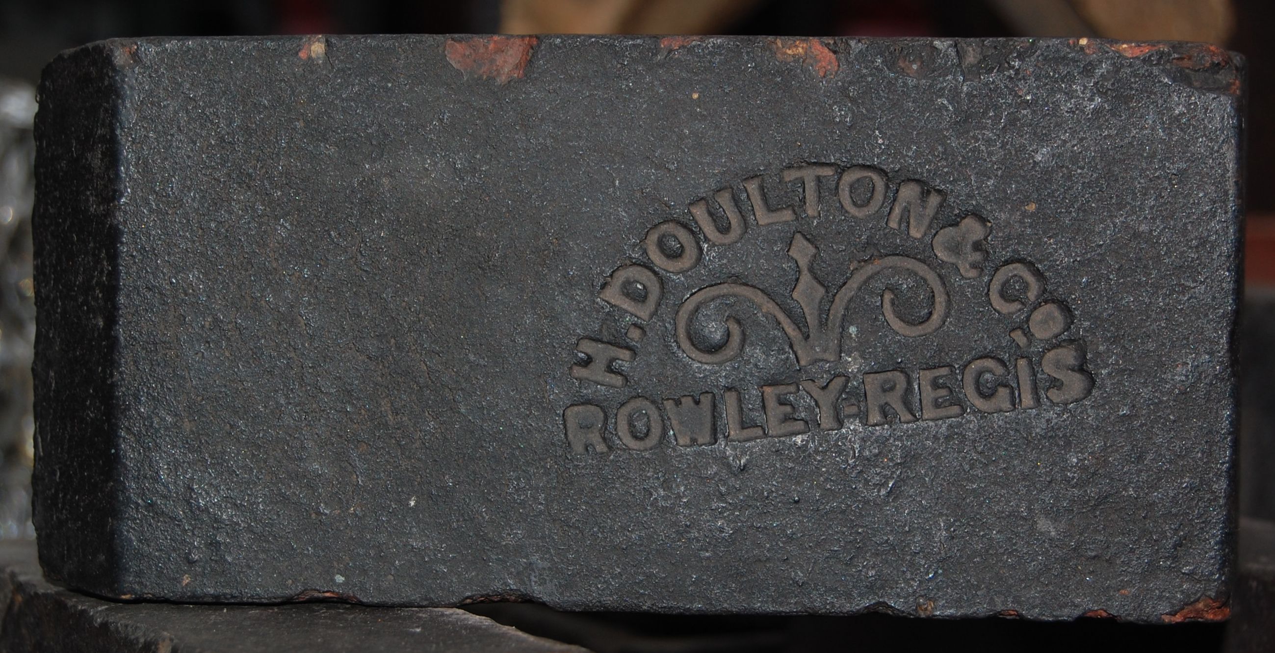
Rowley Regis ( ) is a town and former municipal borough in Sandwell in the county of the West Midlands, England. It encompasses the three Sandwell council wards of Blackheath, Cradley Heath and Old Hill, and Rowley. At the 2011 census, the combined population of these wards was 50,257. History The history of Rowley Regis can be traced back to the 12th century, when a small village grew around the parish church of St. Giles, southeast of Dudley. Rowley was part of the Royal hunting grounds - Regis was added to the name of Rowley in around 1140 to signify it was that part of Rowley belonging to the King. It began to develop substantially during the 19th century. In 1933, Rowley Regis became a borough, and incorporated the communities of Blackheath, Old Hill, and Cradley Heath. These places were all within the ancient parish of Rowley Regis, which (despite being in the county of Staffordshire) was in the diocese of Worcester. The parish contained the manors of Rowley Regis and ... [...More Info...] [...Related Items...] OR: [Wikipedia] [Google] [Baidu] |
Tipton
Tipton is an industrial town in the West Midlands in England with a population of around 38,777 at the 2011 UK Census. It is located northwest of Birmingham. Tipton was once one of the most heavily industrialised towns in the Black Country, with thousands of people employed in the town's industries. Its factories began closing in the 1970s and it has gradually become a commuter town, home largely to people working in other parts of the region. Historically within Staffordshire, the town is now in the borough of Sandwell, It is located adjacent to the towns of Dudley, Wednesbury, Moxley, Darlaston and Bilston. It is also located between Wolverhampton and Birmingham. It also incorporates the areas of Tipton Green, Ocker Hill, Dudley Port, Horseley Heath and Great Bridge. Tipton was an urban district until 1938, when it became a municipal borough. Much of the Borough of Tipton was transferred into West Bromwich County Borough in 1966, but parts of the old borough were a ... [...More Info...] [...Related Items...] OR: [Wikipedia] [Google] [Baidu] |
Coseley Urban District
Coseley Urban District was a local government district in Staffordshire which was created in 1894. It was made up of the villages of Brierley (now Bradley), Ettingshall and Coseley, which had previously been part of the ancient manor of Sedgley - the western section of which formed Sedgley Urban District. The urban district council was based at a building in the town centre. It began building houses in the 1920s to replace sub standard older housing and by 1962 had built over 2,000 properties, mostly houses but also flats and bungalows. The largest developments were at Woodcross and Lanesfield on new housing estate, while large sections of the Wallbrook, Princes End and Hurst Hill areas were redeveloped with new housing during the 1950s and 1960s. Coseley urban district ceased to exist in 1966 when, under recommendations of the Local Government Commission for England, it was divided between the County Boroughs of Dudley, Wolverhampton and West Bromwich in the newly creat ... [...More Info...] [...Related Items...] OR: [Wikipedia] [Google] [Baidu] |
Brierley Hill Urban District
Brierley Hill Urban District was a former Urban District in Staffordshire, England, comprising the areas of Brierley Hill, Kingswinford, Quarry Bank, and Pensnett, now within the modern-day Dudley Metropolitan Borough in the West Midlands county. Brierley Hill became an urban district in 1894 under the Local Government Act. Previously, it had been an urban sanitary authority within the parish of Kingswinford. It was greatly expanded in 1934, when it took in the Quarry Bank and Kingswinford districts. It remained an independent urban district until 1966, when it was merged into the Dudley County Borough The County Borough of Dudley was a local government district in the English Midlands from 1865 to 1974. Originally a municipal borough, it became a county borough in 1889, centred on the main town centre of Dudley, along with the suburbs of Ne ... under the advice of the Local Government Commission for England. References {{Authority control Urban districts of Englan ... [...More Info...] [...Related Items...] OR: [Wikipedia] [Google] [Baidu] |
Local Government Commission For England (1958 - 1967)
The Local Government Commission for England was the body responsible for reviewing the structure of local government in England from 1992 to 2002. It was established under the Local Government Act 1992, replacing the Local Government Boundary Commission for England. The Commission could be ordered by the Secretary of State to undertake "structural reviews" in specified areas and recommend the creation of unitary authorities in the two-tier shire counties of England. The Commission, chaired by John Banham, conducted a review of all the non-metropolitan counties of England from 1993 to 1994, making various recommendations on their future. After much political debate and several legal challenges, the Commission's proposals resulted in the abolition of Berkshire county council and the counties of Avon, Cleveland, Hereford and Worcester and Humberside (created in 1974). Combined with a second wave of reviews in 1995, under the chairmanship of David Cooksey, the Commissio ... [...More Info...] [...Related Items...] OR: [Wikipedia] [Google] [Baidu] |
Second World War
World War II or the Second World War, often abbreviated as WWII or WW2, was a world war that lasted from 1939 to 1945. It involved the vast majority of the world's countries—including all of the great powers—forming two opposing military alliances: the Allies and the Axis powers. World War II was a total war that directly involved more than 100 million personnel from more than 30 countries. The major participants in the war threw their entire economic, industrial, and scientific capabilities behind the war effort, blurring the distinction between civilian and military resources. Aircraft played a major role in the conflict, enabling the strategic bombing of population centres and deploying the only two nuclear weapons ever used in war. World War II was by far the deadliest conflict in human history; it resulted in 70 to 85 million fatalities, mostly among civilians. Tens of millions died due to genocides (including the Holocaust), starvation, ma ... [...More Info...] [...Related Items...] OR: [Wikipedia] [Google] [Baidu] |
Sedgley Urban District
Sedgley urban district was a local government district within Staffordshire, which was created in 1894 from the western half of the manor of Sedgley (the other half of which became the Coseley Urban District). The Urban District, formed in 1894, consisted of the historic villages of Sedgley, Cotwall End, Gospel End, Upper Gornal, Lower Gornal and Woodsetton. The UDC built many new houses within its boundaries as the local population grew. The first developments included the Beacon Hill Estate in Sedgley and smaller developments off Dudley Road in Upper Gornal and Summer Lane in Lower Gornal, which were built in the 1920s. These developments were then expanded in the 1930s, 1940s and 1950s. Post World War II developments included the Sedgley Hall Estate near Gospel End Road, the Bramford Estate at Woodsetton and a smaller development at Cinder Road in Gornal Wood. Flats (not in blocks more than four storeys high) and bungalows were also built in large numbers during this era. ... [...More Info...] [...Related Items...] OR: [Wikipedia] [Google] [Baidu] |
Kates Hill
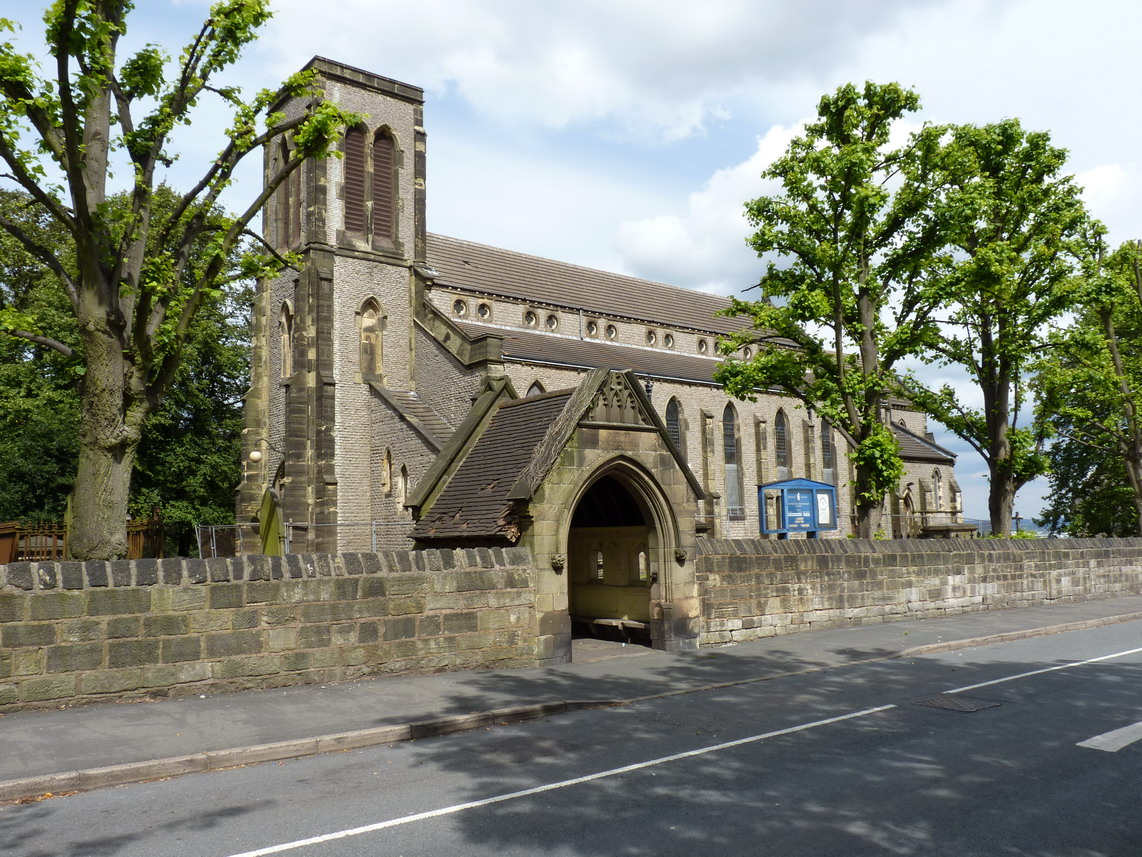
Kates Hill, or Kate's Hill, is a residential area in Dudley, West Midlands, England. History Kates Hill was the scene of chaos in 1648 when parliamentarians used it as their base in the Civil War against King Charles I. As a result, many roads in the area are named in honour of parliamentary figures from that era and afterwards; these include Oliver Cromwell (Oliver Close and Cromwell Street) and Robert Peel (Peel Street). It is believed that from Cromwell Street, parliamentary leader Oliver Cromwell fired his cannons at the royalist garrison that was Dudley's Norman Castle. Kates Hill was not developed as a residential area until around the 1830s, when a large number of houses were built to accommodate people moving to the Black Country in hope of landing jobs in the ever-growing number of factories and coalpits that were being created in the region at this time. In 1840, St John's Parish Church was opened and an adjoining church school was built soon afterwards to serve ... [...More Info...] [...Related Items...] OR: [Wikipedia] [Google] [Baidu] |
Slum
A slum is a highly populated urban residential area consisting of densely packed housing units of weak build quality and often associated with poverty. The infrastructure in slums is often deteriorated or incomplete, and they are primarily inhabited by impoverished people.What are slums and why do they exist? UN-Habitat, Kenya (April 2007) Although slums are usually located in s, in some countries they can be located in suburban areas where housing quality is low and living conditions are poor. While slums differ in size and other characteristics, most lack r ... [...More Info...] [...Related Items...] OR: [Wikipedia] [Google] [Baidu] |


