|
Cotuit Historic District
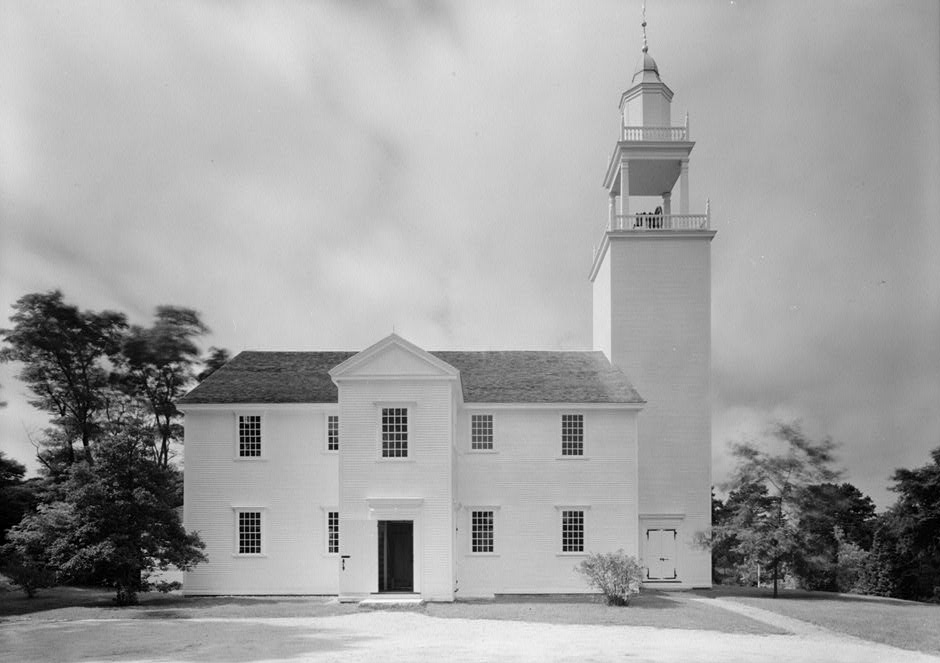
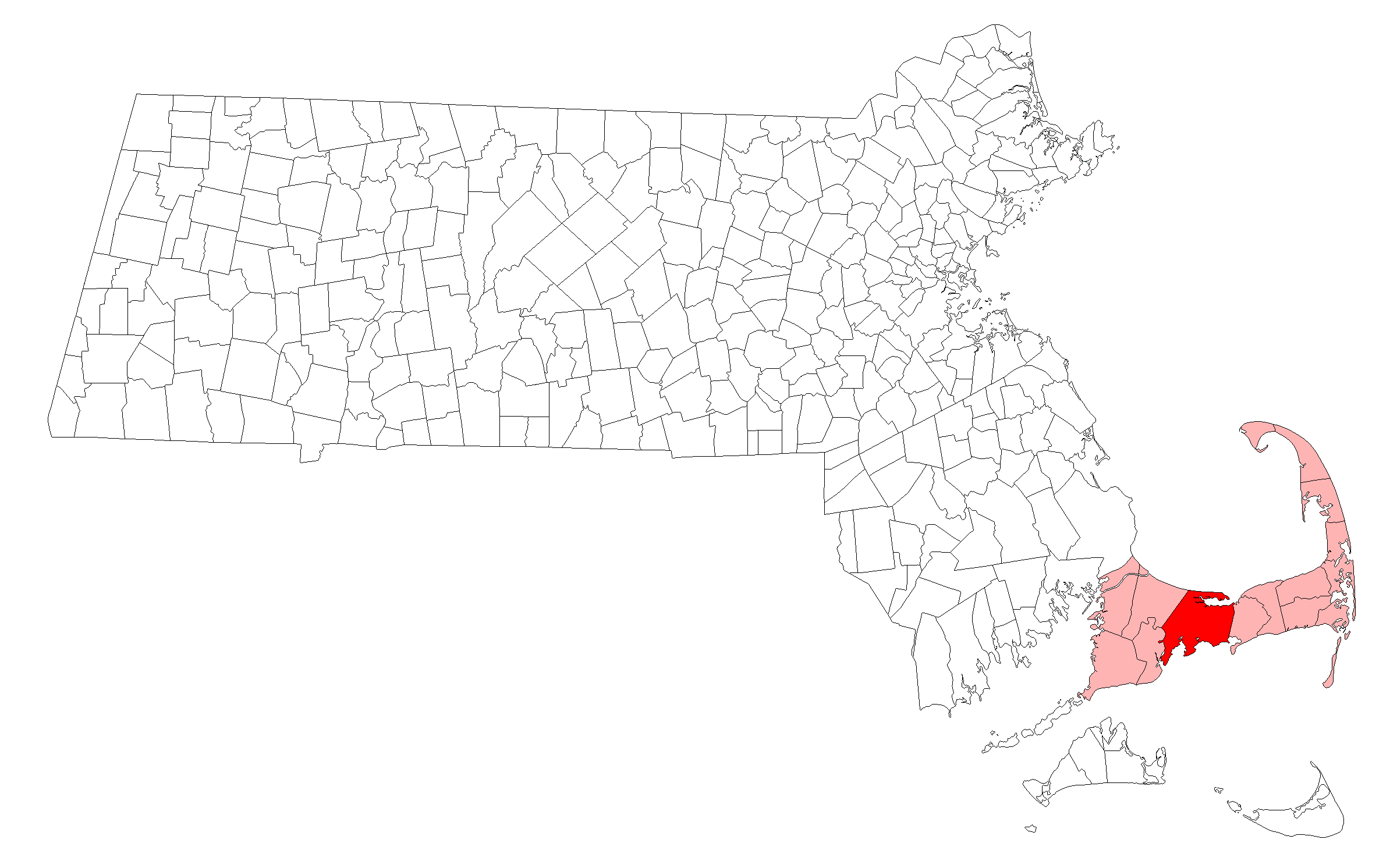
The Cotuit Historic District is a historic district encompassing the heart of the village of Cotuit in Barnstable, Massachusetts. It extends along Main Street from Lowell Street in the north to Sea Street in the south, and includes portions of Ocean View Avenue and properties on adjacent roads. The oldest properties date to the late 18th century (including the c. 1790 Samuel Dottridge House, now a local historical society museum), but saw its greatest development during the height of the area's maritime industry in the mid 19th century. In the late 19th and early 20th century the area saw new development as a summer resort area. The district was listed on the National Register of Historic Places in 1987. History Cotuit is located in southwestern Barnstable, on a peninsula bounded on the west by the Santuit River and on the east by Cotuit Bay. The central village of Cotuit is on the northeastern part of this peninsula, extending north and south along Main Street from its jun ... [...More Info...] [...Related Items...] OR: [Wikipedia] [Google] [Baidu] |
Barnstable, Massachusetts
The Town of Barnstable ( ) is a town in the U.S. state of Massachusetts and the county seat of Barnstable County. Barnstable is the largest community, both in land area and population, on Cape Cod, and is one of thirteen Massachusetts municipalities that have been granted city forms of government by the Commonwealth of Massachusetts but wish to retain "the town of" in their official names. At the 2020 census it had a population of 48,916. The town contains several villages (one of which is also named Barnstable) within its boundaries. Its largest village, Hyannis, is the central business district of the county and home to Barnstable Municipal Airport, the airline hub of Cape Cod and the islands of Martha's Vineyard and Nantucket. Additionally, Barnstable is a 2007 winner of the All-America City Award. History Barnstable takes its name from the English town of Barnstaple, in the county of Devon. The first European to explore the area was Bartholomew Gosnold in 1602. It was s ... [...More Info...] [...Related Items...] OR: [Wikipedia] [Google] [Baidu] |
Historic Districts In The United States
Historic districts in the United States are designated historic districts recognizing a group of buildings, properties, or sites by one of several entities on different levels as historically or architecturally significant. Buildings, structures, objects and sites within a historic district are normally divided into two categories, contributing and non-contributing. Districts vary greatly in size: some have hundreds of structures, while others have just a few. The U.S. federal government designates historic districts through the United States Department of Interior under the auspices of the National Park Service. Federally designated historic districts are listed on the National Register of Historic Places, but listing usually imposes no restrictions on what property owners may do with a designated property. State-level historic districts may follow similar criteria (no restrictions) or may require adherence to certain historic rehabilitation standards. Local historic district d ... [...More Info...] [...Related Items...] OR: [Wikipedia] [Google] [Baidu] |
Cotuit, Massachusetts
Cotuit ( ) is one of the villages of the Town of Barnstable on Cape Cod in Barnstable County, Massachusetts, United States. Located on a peninsula on the south side of Barnstable about midway between Falmouth and Hyannis, Cotuit is bounded by the Santuit River to the west on the Mashpee town line, the villages of Marstons Mills to the north and Osterville to the east, and Nantucket Sound to the south. Cotuit is primarily residential with several small beaches including Ropes Beach, Riley's Beach, The Loop Beach and Oregon Beach. History Colonial era Cotuit was part of a major land purchase negotiated by Myles Standish of the Plymouth Colony with Paupmunnuck, Wampanoag headman of the Cotachessett village allegedly located on or near the island known today as Oyster Harbors, or Grand Island. That transaction, which occurred on May 17, 1648, was made by Paupmunnuck and his brother, and "sold" about "twenty square miles of land in what is now the southwestern section of Barns ... [...More Info...] [...Related Items...] OR: [Wikipedia] [Google] [Baidu] |
National Register Of Historic Places
The National Register of Historic Places (NRHP) is the United States federal government's official list of districts, sites, buildings, structures and objects deemed worthy of preservation for their historical significance or "great artistic value". A property listed in the National Register, or located within a National Register Historic District, may qualify for tax incentives derived from the total value of expenses incurred in preserving the property. The passage of the National Historic Preservation Act (NHPA) in 1966 established the National Register and the process for adding properties to it. Of the more than one and a half million properties on the National Register, 95,000 are listed individually. The remainder are contributing resources within historic districts. For most of its history, the National Register has been administered by the National Park Service (NPS), an agency within the U.S. Department of the Interior. Its goals are to help property owners and inte ... [...More Info...] [...Related Items...] OR: [Wikipedia] [Google] [Baidu] |
Santuit River
The Santuit River, also known as the Cotuit River, is a U.S. Geological Survey. National Hydrography Dataset high-resolution flowline dataThe National Map accessed April 1, 2011 river on the border between Mashpee and Cotuit, Massachusetts on Cape Cod. The river flows southwards from the southern end of Santuit Pond into Popponesset Bay (also known as Shoestring Bay) on the south shore of Cape Cod Cape Cod is a peninsula extending into the Atlantic Ocean from the southeastern corner of mainland Massachusetts, in the northeastern United States. Its historic, maritime character and ample beaches attract heavy tourism during the summer mont .... The river was a vigorous herring/ alewife run and has been reputed to hold sea-run brown trout. It was alleged that overpumping by an adjacent golf course caused the river to run dry in the early 1990s but that charge was denied. References Popponesset Bay: Results Pilots Modeling Scenarios Rivers of Barnstable County, Mas ... [...More Info...] [...Related Items...] OR: [Wikipedia] [Google] [Baidu] |
Cape Cod
Cape Cod is a peninsula extending into the Atlantic Ocean from the southeastern corner of mainland Massachusetts, in the northeastern United States. Its historic, maritime character and ample beaches attract heavy tourism during the summer months. The name Cape Cod, coined in 1602 by Bartholomew Gosnold, is the ninth oldest English place-name in the U.S. As defined by the Cape Cod Commission's enabling legislation, Cape Cod is conterminous with Barnstable County, Massachusetts. It extends from Provincetown in the northeast to Woods Hole in the southwest, and is bordered by Plymouth to the northwest. The Cape is divided into fifteen towns, several of which are in turn made up of multiple named villages. Cape Cod forms the southern boundary of the Gulf of Maine, which extends north-eastward to Nova Scotia. Since 1914, most of Cape Cod has been separated from the mainland by the Cape Cod Canal. The canal cuts roughly across the base of the peninsula, though small portions of the ... [...More Info...] [...Related Items...] OR: [Wikipedia] [Google] [Baidu] |
National Register Of Historic Places Listings In Barnstable County, Massachusetts
__NOTOC__ This is a list of the National Register of Historic Places listings in Barnstable County, Massachusetts. This is intended to be a complete list of the properties and districts on the National Register of Historic Places in Barnstable County, Massachusetts, United States. Latitude and longitude coordinates are provided for many National Register properties and districts; these locations may be seen together in a map. There are 205 properties and districts listed on the National Register in the county, including 3 National Historic Landmarks. Those in the town of Barnstable may be found at National Register of Historic Places listings in Barnstable, Massachusetts. Four listings appear in more than one of these lists because the boundaries cross geographic borders. Current listings Barnstable Remainder of county See also * List of Nation ... [...More Info...] [...Related Items...] OR: [Wikipedia] [Google] [Baidu] |
Historic Districts In Barnstable County, Massachusetts
History (derived ) is the systematic study and the documentation of the human activity. The time period of event before the invention of writing systems is considered prehistory. "History" is an umbrella term comprising past events as well as the memory, discovery, collection, organization, presentation, and interpretation of these events. Historians seek knowledge of the past using historical sources such as written documents, oral accounts, art and material artifacts, and ecological markers. History is not complete and still has debatable mysteries. History is also an academic discipline which uses narrative to describe, examine, question, and analyze past events, and investigate their patterns of cause and effect. Historians often debate which narrative best explains an event, as well as the significance of different causes and effects. Historians also debate the nature of history as an end in itself, as well as its usefulness to give perspective on the problems of the p ... [...More Info...] [...Related Items...] OR: [Wikipedia] [Google] [Baidu] |
National Register Of Historic Places In Barnstable, Massachusetts ...
Barnstable, Massachusetts, has more than 75 entries on the National Register of Historic Places. For listings elsewhere in Barnstable County, see National Register of Historic Places listings in Barnstable County, Massachusetts. Current listings Former listings See also *National Register of Historic Places listings in Barnstable County, Massachusetts *List of National Historic Landmarks in Massachusetts References {{DEFAULTSORT:National Register Of Historic Places Listings In Barnstable, Massachusetts Barnstable Barnstable, Massachusetts The Town of Barnstable ( ) is a town in the U.S. state of Massachusetts and the county seat of Barnstable County. Barnstable is the largest community, both in land area and population, on Cape Cod, and is one of thirteen Massachusetts municipaliti ... [...More Info...] [...Related Items...] OR: [Wikipedia] [Google] [Baidu] |


.jpg)
