|
Cockersdale
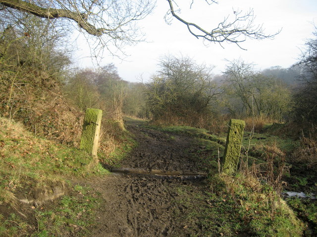
Cockersdale is a location near Tong, West Yorkshire, Tong, south-west of Leeds, West Yorkshire, England. The Leeds Country Way follows the valley known as Cockers Dale, along Tong, West Yorkshire, Tong Beck, from the A58 road northwards. The beck forms the boundary between the metropolitan districts of Leeds and Bradford for much of the valley, but the settlement identified on Ordnance Survey maps as Cockersdale is within Leeds. References External links The Ancient Parish of Birstall at GENUKI: Cockersdale was in this parish Places in Leeds Valleys of West Yorkshire {{WestYorkshire-geo-stub ... [...More Info...] [...Related Items...] OR: [Wikipedia] [Google] [Baidu] |
Leeds Country Way
The Leeds Country Way is a circular long-distance footpath of 62 miles (99 km) around Leeds, West Yorkshire, England. It is never more than 7 miles (11 km) from City Square, Leeds, but is mainly rural with extensive views in the outlying areas of the Leeds metropolitan district. It follows public Rights of Way including footpaths, bridleways and minor lanes, with a few short sections along roads. History A route was first devised by Fred Andrews of the Ramblers Association, and then developed by ''West Yorkshire County Council'' in the early 1980s. This council was abolished in 1986, and the path is now under the care of the Countryside section of Leeds City Council. The Leeds Country Way was realigned in 2006, using a route devised by Bob Brewster, to bring it entirely within the boundary of the Leeds metropolitan district (previously it crossed the boundary into Wakefield), and the path was officially relaunched on 26 September 2006 with a revised set ... [...More Info...] [...Related Items...] OR: [Wikipedia] [Google] [Baidu] |
