|
Clarence Lake
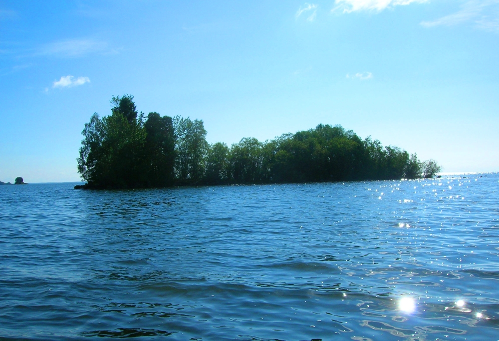
Clarence Lake is a lake in Clarence-Steepbank Lakes Provincial Park in the Canadian province of Saskatchewan. The lake is in a glacier-carved valley in the Boreal forest ecozone of Canada and is part of the Bow River chain of lakes at the headwaters of the Bow River, which is a tributary of Lac la Ronge in the Churchill River watershed. Clarence Lake is the easiest lake in the park to access as it's only about from Highway 927 and, with five campsites at its northern end, it's the only lake in the park with vehicle accessible camping. Northern pike, walleye The walleye (''Sander vitreus'', synonym ''Stizostedion vitreum''), also called the yellow pike or yellow pickerel, is a freshwater perciform fish native to most of Canada and to the Northern United States. It is a North American close relat ..., and lake trout are fish commonly found in the lake. The road that gives access to Clarence Lake from the highway also gives access to other lakes in the Bow River cha ... [...More Info...] [...Related Items...] OR: [Wikipedia] [Google] [Baidu] |
Clarence-Steepbank Lakes Provincial Park
Clarence-Steepbank Lakes Provincial Park is a remote wilderness park in the Canadian province of Saskatchewan. It is located in the boreal forest ecozone east of Prince Albert National Park and Montreal Lake, west of the Cub Hills and Narrow Hills Provincial Park, south of Nipekamew and East Trout Lakes, and north of Whiteswan Lakes and Candle Lake Provincial Park. The city of Prince Albert is approximately to the south and access to the park is from Highway 927. Clarence-Steepbank Lakes is a "pack-in, pack-out" provincial park with minimal services, few marked trails, and over-grown roads. The only camping with vehicle access is a five-campsite campground at the north end of Clarence Lake. There are also two primitive campsites at the east end of Steepbank Lake. The landscape of the park is that of old-growth boreal forests, rolling hills, muskeg, and glacier carved valleys and lakes. There are eight main lakes in the park, with the two largest and most notable being Cl ... [...More Info...] [...Related Items...] OR: [Wikipedia] [Google] [Baidu] |
Saskatchewan Highway 927
{{Saskatchewan-road-stub ...
Highway 927 is a provincial highway in the north-east region of the Canadian province of Saskatchewan. It runs from Highway 912 to East Trout-Nipekamew Lakes Recreation Site. The Highway makes up part of the eastern border of, and provides access to, Clarence-Steepbank Lakes Provincial Park. It is about long. See also * Roads in Saskatchewan * Transportation in Saskatchewan References 927 Year 927 (Roman numerals, CMXXVII) was a common year starting on Monday (link will display the full calendar) of the Julian calendar. Events By place Europe * May 27 – Simeon I of Bulgaria, Simeon I, emperor (''tsar'') of the Fi ... [...More Info...] [...Related Items...] OR: [Wikipedia] [Google] [Baidu] |
Tourism In Saskatchewan
There are numerous heritages and cultural attractions in the province of Saskatchewan. Museums, dinosaur digs, aboriginal cultural and heritage sites, art galleries, professional sport venues, spas, handcraft, antique and tea shops, agricultural tours, theatre and archaeological sites comprise over 600 varied Saskatchewan institutions. There are two national parks located in the province of Saskatchewan: Grasslands National Park, Prince Albert National Park. There are also four National Historic Sites operated by Parks Canada in Saskatchewan including Fort Walsh National Historic Site, Batoche National Historic Site, Fort Battleford National Historic Site and Motherwell Homestead National Historic Site. There are 37 provincial parks, provincial recreation areas, natural areas and a Heritage rangeland are also protected on a provincial level. Saskatchewan also has two major cities, Regina and Saskatoon. Regina is home to the Royal Canadian Mounted Police (RCMP) Academy at Depo ... [...More Info...] [...Related Items...] OR: [Wikipedia] [Google] [Baidu] |
List Of Lakes Of Saskatchewan ...
This is a list of lakes of Saskatchewan, a province of Canada. The largest and most notable lakes are listed at the start, followed by an alphabetical listing of other lakes of the province. Larger lake statistics "The total area of a lake includes the area of islands. Lakes lying across provincial boundaries are listed in the province with the greater lake area." A B C D E F G H I J K L M N O P Q R S T U V W Y Z See also *List of lakes of Canada *List of rivers of Saskatchewan *Geography of Saskatchewan *List of dams and reservoirs in Canada References {{Authority control * Lakes Saskatchewan Saskatchewan ( ; ) is a Provinces and territories of Canada, province in Western Canada, western Canada, bordered on the west by Alberta, on the north by the Northwest Territories, on the east by Manitoba, to the northeast by Nunavut, and on t ... [...More Info...] [...Related Items...] OR: [Wikipedia] [Google] [Baidu] |
Steepbank Lake
Steepbank Lake is a lake in Clarence-Steepbank Lakes Provincial Park in the Canadian province of Saskatchewan. The lake is in a glacier-carved valley in the Boreal forest ecozone of Canada and is part of the Bow River chain of lakes near the headwaters of the Bow River, which is a tributary of Lac la Ronge in the Churchill River watershed. Steepbank Lake is the farthest lake downstream in the Bow River chain of lakes that make up the heart of Clarence-Steepbank Lakes Provincial Park. While not directly along the course of the Bow River, at the east end of the lake is a short stream that connects it to the river. The lake itself is in a steep valley that resembles a coastal fjord, hence the name "Steepbank". The nearest highway is Highway 927 to the east. An access road from the highway connects other lakes farther upstream, including Ridge, Jasper, Kit, and Clarence but no longer reaches Steepbank and is only accessible by hiking or ATVing. At the east end of the lake are ... [...More Info...] [...Related Items...] OR: [Wikipedia] [Google] [Baidu] |
Lake Trout
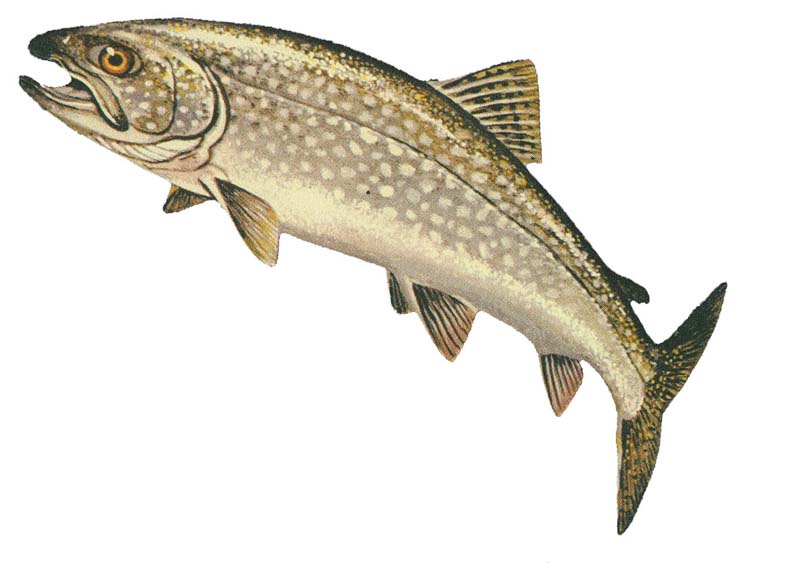
The lake trout (''Salvelinus namaycush'') is a freshwater char living mainly in lakes in northern North America. Other names for it include mackinaw, namaycush, lake char (or charr), touladi, togue, and grey trout. In Lake Superior, it can also be variously known as siscowet, paperbelly and lean. The lake trout is prized both as a game fish and as a food fish. Those caught with dark coloration may be called ''mud hens''. Taxonomy It is the only member of the subgenus ''Cristovomer'', which is more derived than the subgenus '' Baione'' (the most basal clade of ''Salvelinus'', containing the brook trout (''S. fontinalis'') and silver trout (''S. agasizii'')) but still basal to the other members of ''Salvelinus''. Range From a zoogeographical perspective, lake trout have a relatively narrow distribution. They are native only to the northern parts of North America, principally Canada, but also Alaska and, to some extent, the northeastern United States. Lake trout have been wide ... [...More Info...] [...Related Items...] OR: [Wikipedia] [Google] [Baidu] |
Walleye
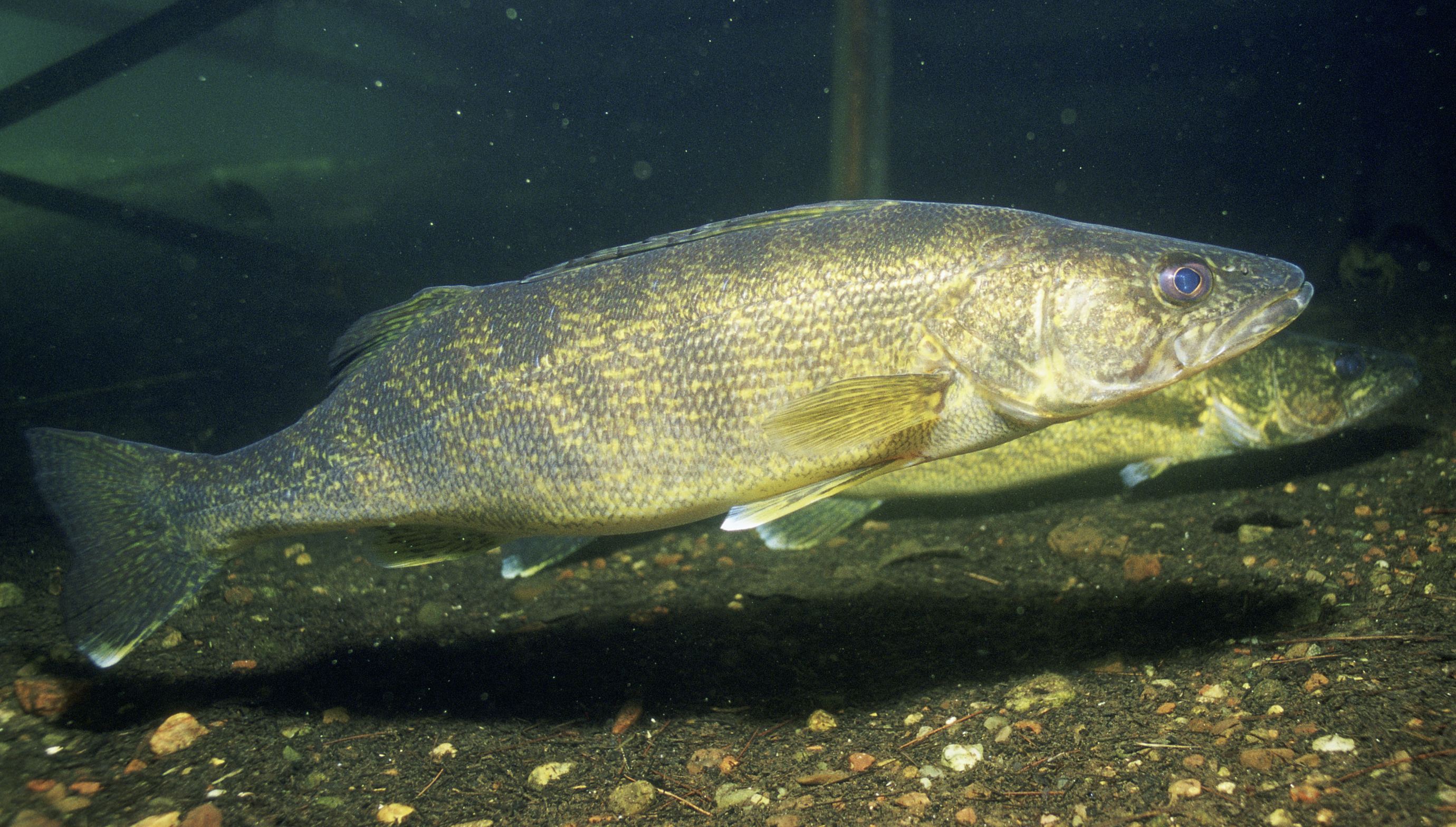
The walleye (''Sander vitreus'', synonym ''Stizostedion vitreum''), also called the yellow pike or yellow pickerel, is a freshwater perciform fish native to most of Canada and to the Northern United States. It is a North American close relative of the European zander, also known as the pikeperch. The walleye is sometimes called the yellow walleye to distinguish it from the blue walleye, which is a color morph that was once found in the southern Ontario and Quebec regions, but is now presumed extinct. However, recent genetic analysis of a preserved (frozen) 'blue walleye' sample suggests that the blue and yellow walleye were simply phenotypes within the same species and do not merit separate taxonomic classification. In parts of its range in English-speaking Canada, the walleye is known as a pickerel, though the fish is not related to the true pickerels, which are members of the family ''Esocidae''. Walleyes show a fair amount of variation across watersheds. In general, fis ... [...More Info...] [...Related Items...] OR: [Wikipedia] [Google] [Baidu] |
Northern Pike
The northern pike (''Esox lucius'') is a species of carnivorous fish of the genus '' Esox'' (the pikes). They are typical of brackish and fresh waters of the Northern Hemisphere (''i.e.'' holarctic in distribution). They are known simply as a pike in Britain, Ireland, and most of Eastern Europe, Canada and the United States. Pike can grow to a relatively large size: the average length is about , with maximum recorded lengths of up to and published weights of . The IGFA currently recognizes a pike caught by Lothar Louis on Greffern Lake, Germany, on 16 October 1986, as the all-tackle world-record northern pike. Northern pike grow to larger sizes in Eurasia than in North America, and typically grow to larger sizes in coastal than inland regions of Eurasia. Etymology The northern pike gets its common name from its resemblance to the pole-weapon known as the pike (from the Middle English for 'pointed'). Various other unofficial trivial names are common pike, Lakes pike, great n ... [...More Info...] [...Related Items...] OR: [Wikipedia] [Google] [Baidu] |
Churchill River (Hudson Bay)
The Churchill River () is a major river in Alberta, Saskatchewan and Manitoba, Canada. From the head of the Churchill Lake it is long. It was named after John Churchill, 1st Duke of Marlborough and governor of the Hudson's Bay Company from 1685 to 1691. The Cree name for the river is ''Missinipi'', meaning "big waters". The Denesuline name for the river is ''des nëdhë́'', meaning "Great River". The river is located entirely within the Canadian Shield. The drainage basin includes a number of lakes in Central-East Alberta which flow into a series of lakes in Saskatchewan and Manitoba. The main tributary, the Beaver River, joins at Lac Île-à-la-Crosse. Nistowiak Falls—the tallest falls in Saskatchewan—are on the Rapid River, which flows north, out of Lac la Ronge into Nistowiak Lake on the Churchill just north of La Ronge. A large amount of flow of the Churchill River after Manitoba–Saskatchewan border comes from the Reindeer River, which flows from Wollaston ... [...More Info...] [...Related Items...] OR: [Wikipedia] [Google] [Baidu] |
Bow River (Saskatchewan)
Bow River is a river in the Northern Administration District of the Canadian province of Saskatchewan. The river begins at Ridge Lake of Bow River chain lakes in Clarence-Steepbank Lakes Provincial Park and flows in a northerly direction into Lac la Ronge and Lac La Ronge Provincial Park. Rapid River connects Lac la Ronge to the Churchill River. There are no communities nor settlements along the river's course. Bow River chain lakes The Bow River chain lakes are a series of eight lakes in glacier-carved valleys that make up the headwaters of the Bow River. O'Conner Lake () is the farthest upstream as it is east of Clarence-Steepbank Lakes Provincial Park and west of the Cub Hills and Narrow Hills Provincial Park. At the west end of O'Conner Lake, a short stream flows out in a westerly direction, passing under Highway 927, and into Clarence-Steepbank Lakes Provincial Park and then Hayes Lake (). Hayes Lake connects to Clarence Lake (), which then flows downstream into K ... [...More Info...] [...Related Items...] OR: [Wikipedia] [Google] [Baidu] |
Lac La Ronge
Lac la Ronge is a glacial lake in the Canadian province of Saskatchewan. It is the fifth largest lake in the province and is approximately north of Prince Albert, on the edge of the Canadian Shield. La Ronge, Air Ronge, and the Lac La Ronge First Nation are on the western shore. The lake is a popular vacation spot. Recreational activities include fishing, boating, canoeing, hiking, and camping. Recreation and access Lac La Ronge Provincial Park extends around the lake on three sides, starting at La Ronge and ending along the east shore. The park contains four RV parks, two of which are on the west shore of the lake, one is in the town of Missinipe (Missinipe is the Woodland Cree name for the Churchill River which is on the south-west shore of Otter Lake, which flows through the north side of the park), and the fourth one is on the east shore of Nemeiben Lake. There is also a hunting and fishing lodge 26 km north of La Ronge. Nistowiak Falls, on the Rapid R ... [...More Info...] [...Related Items...] OR: [Wikipedia] [Google] [Baidu] |
River Source
The headwaters of a river or stream is the farthest place in that river or stream from its estuary or downstream confluence with another river, as measured along the course of the river. It is also known as a river's source. Definition The United States Geological Survey (USGS) states that a river's "length may be considered to be the distance from the mouth to the most distant headwater source (irrespective of stream name), or from the mouth to the headwaters of the stream commonly known as the source stream". As an example of the second definition above, the USGS at times considers the Missouri River as a tributary of the Mississippi River. But it also follows the first definition above (along with virtually all other geographic authorities and publications) in using the combined Missouri—lower Mississippi length figure in lists of lengths of rivers around the world. Most rivers have numerous tributaries and change names often; it is customary to regard the longest ... [...More Info...] [...Related Items...] OR: [Wikipedia] [Google] [Baidu] |


