|
Chudleigh, Tasmania
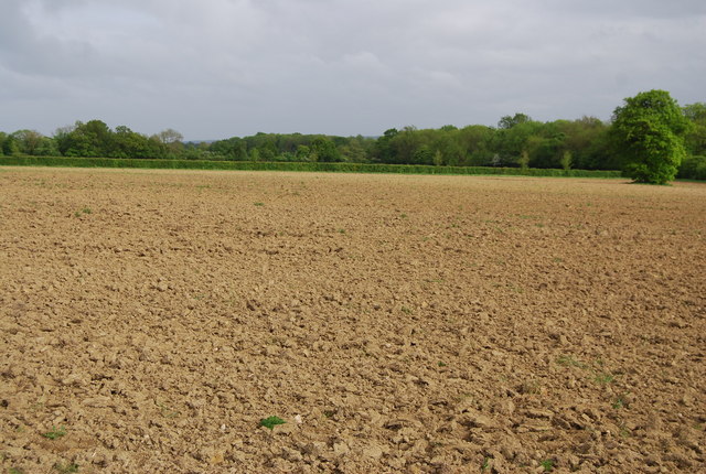
Chudleigh is a rural locality in the local government area of Meander Valley in the Launceston region of Tasmania. The locality is about west of the town of Westbury. The 2016 census has a population of 203 for the state suburb of Chudleigh. It is a small rural village west of Launceston in northern Tasmania, Australia. The town is in the Chudleigh Valley, between the Gog range and the Great Western Tiers. The area is primarily used for farming, though timber and lime production have been significant industries. The fertile flats of the valley are of alluvial origin, from the Permian era. The Chudleigh show, run by the Agricultural and Horticultural society, is an agricultural show held each February. Since 1889 the show has been held 125 times, and it is one of the state's oldest such events. The area had been the lands of the Pallittorre Aboriginal Tasmanians for thousands of years. European settlement and disease drove them from the lands and decimated their populatio ... [...More Info...] [...Related Items...] OR: [Wikipedia] [Google] [Baidu] |
Launceston LGA Region
Councils of Tasmania are the 29 administrative districts of the Australian state of Tasmania. Local government areas (LGAs), more generally known as councils, are the tier of government responsible for the management of local duties such as road maintenance, town planning and waste management. Local government regions The local government areas of Tasmania are grouped into six regions: * Central * Hobart * Launceston * North-east * North-west and west * South-east Local government areas There are 29 local government areas of Tasmania: Towns and suburbs of councils areas The following is a list of councils areas grouped by region, and the major towns and suburbs within each LGA. Hobart area councils Greater Hobart contains six LGAs: *Brighton Council, containing the Hobart suburbs of Bridgewater, Gagebrook, Old Beach, and the towns of Brighton, Pontville, and Tea Tree. *City of Clarence, containing the Hobart suburbs of Acton, Bellerive, Cambridge, Clarendon Vale ... [...More Info...] [...Related Items...] OR: [Wikipedia] [Google] [Baidu] |
Flat (landform)
A flat is a relatively level surface of land within a region of greater relief, such as hills or mountains, usually used in the plural. The term is often used to name places with such features, for example, Yucca Flat or Henninger Flats. ''Flat'' is also used to describe other level geographic areas as mud flat Mudflats or mud flats, also known as tidal flats or, in Ireland, slob or slobs, are coastal wetlands that form in intertidal areas where sediments have been deposited by tides or rivers. A global analysis published in 2019 suggested that tidal f ...s or salt flats. See also * * References Landforms {{Geo-term-stub ... [...More Info...] [...Related Items...] OR: [Wikipedia] [Google] [Baidu] |
Basalt
Basalt (; ) is an aphanitic (fine-grained) extrusive igneous rock formed from the rapid cooling of low-viscosity lava rich in magnesium and iron (mafic lava) exposed at or very near the surface of a rocky planet or moon. More than 90% of all volcanic rock on Earth is basalt. Rapid-cooling, fine-grained basalt is chemically equivalent to slow-cooling, coarse-grained gabbro. The eruption of basalt lava is observed by geologists at about 20 volcanoes per year. Basalt is also an important rock type on other planetary bodies in the Solar System. For example, the bulk of the plains of Venus, which cover ~80% of the surface, are basaltic; the lunar maria are plains of flood-basaltic lava flows; and basalt is a common rock on the surface of Mars. Molten basalt lava has a low viscosity due to its relatively low silica content (between 45% and 52%), resulting in rapidly moving lava flows that can spread over great areas before cooling and solidifying. Flood basalts are thick sequence ... [...More Info...] [...Related Items...] OR: [Wikipedia] [Google] [Baidu] |
Fallow
Fallow is a farming technique in which arable land is left without sowing for one or more vegetative cycles. The goal of fallowing is to allow the land to recover and store Organic compound, organic matter while retaining moisture and disrupting pest life cycles and soil borne pathogens by temporarily removing their Host (biology), hosts. Crop rotation systems typically called for some of a farmer's fields to be left fallow each year. The increase in intensive farming, including the use of cover crops in lieu of fallow practices, has caused a loss of acreage of fallow land, as well as field margins, hedges, and wasteland. This has reduced biodiversity; fallows have been the primary habitat for farmland bird populations. Fallow syndrome Fallow syndrome is when a crop has insufficient nutrient uptake due to the lack of arbuscular mycorhizae (AM fungi) in the soil following a fallow period. Crops such as corn that are prone to fallow syndrome should not follow a period of fallow, ... [...More Info...] [...Related Items...] OR: [Wikipedia] [Google] [Baidu] |
Crop Rotation
Crop rotation is the practice of growing a series of different types of crops in the same area across a sequence of growing seasons. It reduces reliance on one set of nutrients, pest and weed pressure, and the probability of developing resistant pests and weeds. Growing the same crop in the same place for many years in a row, known as monocropping, gradually depletes the soil of certain nutrients and selects for a highly competitive pest and weed community. Without balancing nutrient use and diversifying pest and weed communities, the productivity of monocultures is highly dependent on external inputs. Conversely, a well-designed crop rotation can reduce the need for synthetic fertilizers and herbicides by better using ecosystem services from a diverse set of crops. Additionally, crop rotations can improve soil structure and organic matter, which reduces erosion and increases farm system resilience. History Agriculturalists have long recognized that suitable rotations — ... [...More Info...] [...Related Items...] OR: [Wikipedia] [Google] [Baidu] |
Marginal Land
Marginal land is land that is of little agricultural or developmental value because crops produced from the area would be worth less than any rent paid for access to the area. Although the term '' marginal'' is often used in a subjective sense for less-than-ideal lands, it is fundamentally an economic term that is defined by the local economic context. Thus what constitutes marginal land varies both with location and over time: for example, "a soil profile with a set of specific biophysical characteristics reported as “marginal” in the US corn belt may be one of the better soils available in another context". Changes in product values – such as the ethanol-demand induced spike in corn prices – can result in formerly marginal lands becoming profitable. Marginal lands can therefore be more difficult to delineate as compared to "abandoned crop lands" which reflect more clearly definable landowner-initiated land use changes. Land may be marginal for a number of reasons, includi ... [...More Info...] [...Related Items...] OR: [Wikipedia] [Google] [Baidu] |
Mersey River (Tasmania)
The Mersey River is a river on the north-west coast of Tasmania, Australia. The city of Devonport is situated at the river's mouth on Bass Strait. The source of this river is Lake Meston. From here the river feeds itself into Lake Youd. Lees Creek is a tributary to the Mersey River and it feeds into Lake Orion, Lake Merope, Lake Eros, Lake Artemis and Junction Lake prior to the Mersey. Feather Creek from Cathedral Mountain is a tributary to the Mersey River at this point. Campfire Creek is the next tributary. The Mersey flows into Lake Rowallan. The Rowallan Power Station, part of the Rowallan Dam is a hydro-electric station is also located on the Mersey. Fish Creek is also a tributary to Lake Rowallan. The Mersey then flows to Lake Parangana. Lake Parangana also takes inflows from the Fisher River, this has a tributary of the little Fisher River and Fisher River flows through Lake MacKenzie and the Fisher Power Station which also has a tributary from Explorer Creek w ... [...More Info...] [...Related Items...] OR: [Wikipedia] [Google] [Baidu] |
Wildlife Park
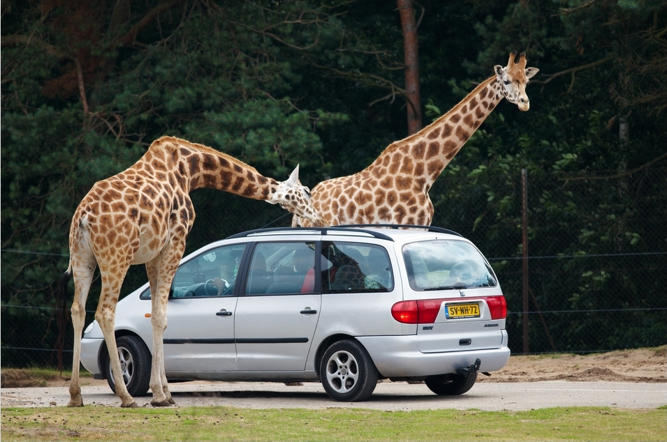
A safari park, sometimes known as a wildlife park, is a zoo-like commercial drive-in tourist attraction where visitors can drive their own vehicles or ride in vehicles provided by the facility to observe freely roaming animals. A safari park is larger than a zoo and smaller than a game reserve. For example, African Lion Safari in Hamilton, Ontario, Canada is . For comparison, Lake Nakuru in the Great Rift Valley, Kenya, is , and a typical large game reserve is Tsavo East, also in Kenya, which encompasses . Many parks have conservation programmes with endangered animals like: elephants, rhinocerotes, giraffes, lions, tigers, cheetahs and wild dogs. General overview of a safari park The main attractions are frequently large animals from Africa which people can see in wildlife reserves such as: giraffes, lions (including white lions), black and white rhinoceroses, African bush elephants, hippopotamuses, zebras, ostriches, lesser and greater flamingos, ground hornbills, g ... [...More Info...] [...Related Items...] OR: [Wikipedia] [Google] [Baidu] |
Deloraine, Tasmania
Deloraine is a town on the Meander River, in the central north of Tasmania, Australia. It is 50 km west of Launceston and 52 km south of Devonport along the Bass Highway. It is part of the Meander Valley Council. Deloraine recorded a population of 3,035 in the . Deloraine, like most Tasmanian towns, has a temperate and wet climate. History The region was explored in 1821 by Captain Roland, who was searching for farm land. The land was granted to new settlers, and the town is now a major agricultural centre, with a large number of farms of all types in the area. Deloraine is named after a character from the poem ''The Lay of the Last Minstrel'', written by Sir Walter Scott. Deloraine Post Office opened on 29 October 1836. The town won the State Tidy Towns award in 1992, 1993 and 1995, and the Australian Community of the Year award in 1997. Economy While Deloraine is a predominantly rural farming town, it is also aimed at pleasing tourists, who visit because of ... [...More Info...] [...Related Items...] OR: [Wikipedia] [Google] [Baidu] |
Telegraph
Telegraphy is the long-distance transmission of messages where the sender uses symbolic codes, known to the recipient, rather than a physical exchange of an object bearing the message. Thus flag semaphore is a method of telegraphy, whereas pigeon post is not. Ancient signalling systems, although sometimes quite extensive and sophisticated as in China, were generally not capable of transmitting arbitrary text messages. Possible messages were fixed and predetermined and such systems are thus not true telegraphs. The earliest true telegraph put into widespread use was the optical telegraph of Claude Chappe, invented in the late 18th century. The system was used extensively in France, and European nations occupied by France, during the Napoleonic era. The electric telegraph started to replace the optical telegraph in the mid-19th century. It was first taken up in Britain in the form of the Cooke and Wheatstone telegraph, initially used mostly as an aid to railway signallin ... [...More Info...] [...Related Items...] OR: [Wikipedia] [Google] [Baidu] |
Chudleigh
Chudleigh () is an ancient wool town located within the Teignbridge District Council area of Devon, England between Newton Abbot and Exeter. The electoral ward with the same name had a population of 6,125 at the 2011 census. Geography Chudleigh is very close to the edge of Dartmoor and in the Teign Valley. Nearby Castle Dyke is an Iron Age Hill Fort which demonstrates far earlier settlement in the area. It is also near Haldon Forest, a Forestry Commission property. The town has been bypassed by the A38 road since 1972. Great Fire of Chudleigh The weather conditions in Devon in the year 1807 have been described as a drought. Weeks without rain left many people short of water and had farmers worrying about their crops. At around noon on 22 May, a small fire broke out in a pile of furze stacked near the ovens at a bakery in Culver Street (now New Exeter Street). According to later reports, the staff in the bakery seemed unaware of the danger this posed, but the fire, fed by t ... [...More Info...] [...Related Items...] OR: [Wikipedia] [Google] [Baidu] |
Aboriginal Tasmanians
The Aboriginal Tasmanians ( Palawa kani: ''Palawa'' or ''Pakana'') are the Aboriginal people of the Australian island of Tasmania, located south of the mainland. For much of the 20th century, the Tasmanian Aboriginal people were widely, and erroneously, thought of as being an extinct cultural and ethnic group that had been intentionally exterminated by white settlers. Contemporary figures (2016) for the number of people of Tasmanian Aboriginal descent vary according to the criteria used to determine this identity, ranging from 6,000 to over 23,000. First arriving in Tasmania (then a peninsula of Australia) around 40,000 years ago, the ancestors of the Aboriginal Tasmanians were cut off from the Australian mainland by rising sea levels c. 6000 BC. They were entirely isolated from the outside world for 8,000 years until European contact. Before British colonisation of Tasmania in 1803, there were an estimated 3,000–15,000 Palawa. The Palawa population suffered a dra ... [...More Info...] [...Related Items...] OR: [Wikipedia] [Google] [Baidu] |


