|
Chesterfield (ship)
Several vessels have been named ''Chesterfield''. * was built in in 1781, but it is not clear where and under what name. She arrived in England in 1791. Between 1792 and 1798 ''Chesterfield'' made three voyages to the Whaling in the United Kingdom#The southern whale fishery, southern whale fishery. On the first of these, her crew was involved in a sanguinary encounter with the local inhabitants of an island in Torres Strait. Also in 1793, on the first voyage, her captain named the Chesterfield Islands after his vessel, or her namesake. After her whaling voyages new owners sailed her to trade with the Mediterranean. A Spanish privateer captured her in 1805. * , of 207 tons (Builder's Old Measurement, bm), was launched at Dartmouth in 1800. She was a Falmouth, Cornwall, Falmouth Post Office packet service packet. In 1814 she captured a Guernsey privateer in a case of a friendly fire, blue-on-blue incident. In early 1815 she repelled an attack by a United States privateer in a singl ... [...More Info...] [...Related Items...] OR: [Wikipedia] [Google] [Baidu] |
Whaling In The United Kingdom
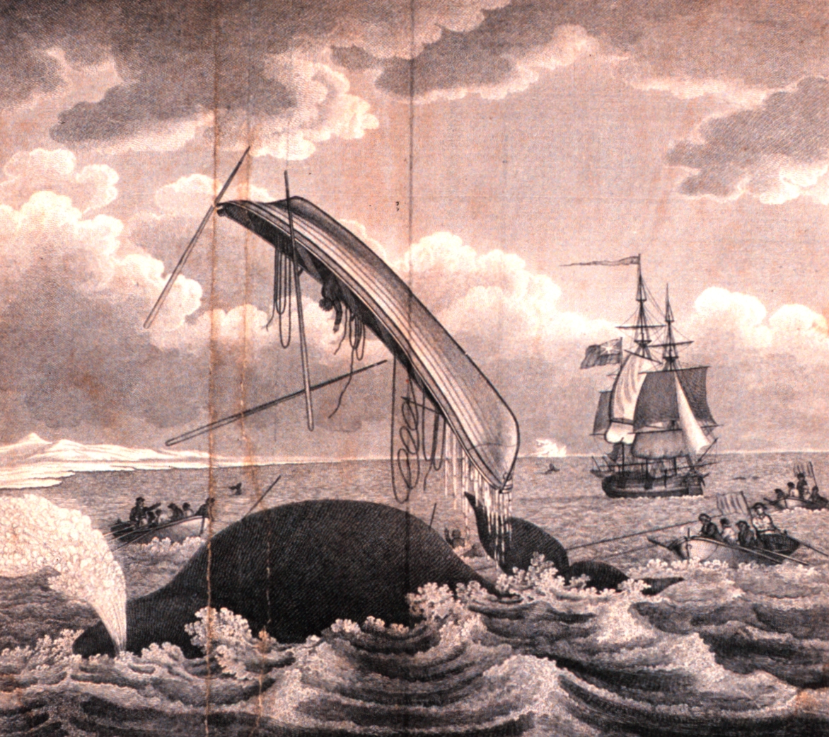
Commercial whaling in Britain began late in the 16th century and continued after the 1801 formation of the United Kingdom and intermittently until the middle of the 20th century. The trade was broadly divided into two branches. The northern fishery involved hunting the bowhead whale off the coast of Greenland and adjacent islands. The southern fishery was activity anywhere else, including in the Atlantic, Pacific and Indian Oceans and off the Antarctic. The Sperm whale, the Southern right whale and Humpback whale were the main target species in South Sea whaling. The industry went on to become a profitable national enterprise and a source of skilled mariners for the Royal Navy in times of war. Modern whaling, using factory ships and catchers fitted with bow-mounted cannons that fired explosive harpoons, continued into the 20th century and was mainly focused on the Antarctic and nearby islands where shore stations had been established. The collapse of whale stocks in the 1960s, d ... [...More Info...] [...Related Items...] OR: [Wikipedia] [Google] [Baidu] |
Torres Strait
The Torres Strait (), also known as Zenadh Kes, is a strait between Australia and the Melanesian island of New Guinea. It is wide at its narrowest extent. To the south is Cape York Peninsula, the northernmost extremity of the Australian mainland. To the north is the Western Province of Papua New Guinea. It is named after the Spanish navigator Luís Vaz de Torres, who sailed through the strait in 1606. Prehistory The islands of the Torres Strait have been inhabited by humans for at least 2,500 years and possibly much longer. The various Torres Strait Islander communities have a unique culture and long-standing history with the islands and nearby coastlines. Their maritime-based trade and interactions with the Papuans to the north and the Australian Aboriginal communities have maintained a steady cultural diffusion among the three societal groups, dating back thousands of years. History The first recorded European navigation of the strait was by Luís Vaz de Torres, a pilot ... [...More Info...] [...Related Items...] OR: [Wikipedia] [Google] [Baidu] |
Chesterfield Islands
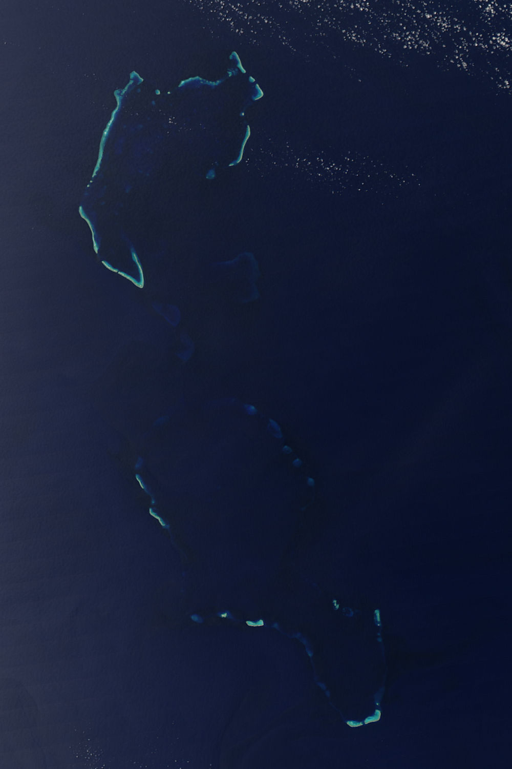
The Chesterfield Islands (''îles Chesterfield'' in French) are a French archipelago of New Caledonia located in the Coral Sea, northwest of Grande Terre, the main island of New Caledonia. The archipelago is 120 km long and 70 km broad, made up of 11 uninhabited islets and many reefs. The land area of the islands is less than 10 km2. During periods of lowered sea level during the Pleistocene ice ages, an island of considerable size (Greater Chesterfield Island) occupied the location of the archipelago. Bellona Reef, 164 km south-southeast of Chesterfield, is geologically separated from the Chesterfield archipelago but commonly included. Etymology The reef complex is named after the whaling ship , commanded by Matthew Bowes Alt, which sailed through the Coral Sea in the 1790s. Location The Chesterfield Islands, sometimes referred to as the ''Chesterfield Reefs'' or ''Chesterfield Group'', are the most important of a number of uninhabited coral sand ... [...More Info...] [...Related Items...] OR: [Wikipedia] [Google] [Baidu] |
Builder's Old Measurement
Builder's Old Measurement (BOM, bm, OM, and o.m.) is the method used in England from approximately 1650 to 1849 for calculating the cargo capacity of a ship. It is a volumetric measurement of cubic capacity. It estimated the tonnage of a ship based on length and maximum beam (nautical), beam. It is expressed in "tons burden" ( en-em , burthen , enm , byrthen ), and abbreviated "tons bm". The formula is: : \text = \frac where: * ''Length'' is the length, in foot (length), feet, from the stem (ship), stem to the sternpost; * ''Beam (nautical), Beam'' is the maximum beam, in feet. The Builder's Old Measurement formula remained in effect until the advent of steam propulsion. Steamships required a different method of estimating tonnage, because the ratio of length to beam was larger and a significant volume of internal space was used for boilers and machinery. In 1849, the Moorsom System was created in the United Kingdom. The Moorsom system calculates the cargo-carrying capaci ... [...More Info...] [...Related Items...] OR: [Wikipedia] [Google] [Baidu] |
Falmouth, Cornwall
Falmouth ( ; kw, Aberfala) is a town, civil parish and port on the River Fal on the south coast of Cornwall, England, United Kingdom. It has a total resident population of 21,797 (2011 census). Etymology The name Falmouth is of English origin, a reference to the town's situation on the mouth of the River Fal. The Cornish language name, ' or ', is of identical meaning. It was at one time known as ''Pennycomequick'', an Anglicisation of the Celtic ''Pen-y-cwm-cuic'' "head of the creek"; this is the same as Pennycomequick, a district in Plymouth. History Early history In 1540, Henry VIII built Pendennis Castle in Falmouth to defend Carrick Roads. The main town of the district was then at Penryn. Sir John Killigrew created the town of Falmouth shortly after 1613. In the late 16th century, under threat from the Spanish Armada, the defences at Pendennis were strengthened by the building of angled ramparts. During the Civil War, Pendennis Castle was the second to las ... [...More Info...] [...Related Items...] OR: [Wikipedia] [Google] [Baidu] |
Post Office Packet Service
The Post Office Packet Service dates to Tudor times and ran until 1823, when the Admiralty assumed control of the service. Originally, the Post Office used packet ships to carry mail packets to and from British embassies, colonies and outposts. The vessels generally also carried bullion, private goods and passengers. The ships were usually lightly armed and relied on speed for their security. However, Britain was at war almost continuously during the 18th and early 19th centuries with the result that packet ships did get involved in naval engagements with enemy warships and privateers, and were occasionally captured. Routes Atlantic and Mediterranean *North, Central and South America and the Caribbean Islands, *Spain, Portugal, Gibraltar, Italy, Greece (Corfu was a British Protectorate from 1815 to 1864), Egypt. Northern Europe Routes ran at various times from Dover in Kent and Harwich in Essex to Calais, the Hook of Holland and Heligoland. Ireland The usual packet rout ... [...More Info...] [...Related Items...] OR: [Wikipedia] [Google] [Baidu] |


