|
Chasewater
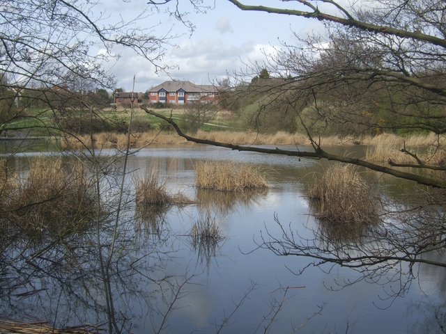
Chasewater is a reservoir located in the parish of Burntwood and the district of Lichfield in Staffordshire, England. Originally known as Norton Pool and Cannock Chase Reservoir, it was created as a canal feeder reservoir in 1797. The reservoir was created to directly supply the Wyrley and Essington Canal and maintain levels in the Birmingham Canal Network. During a period of great industrial growth in the Black Country region the maintenance of water levels in canal infrastructure was essential and Chasewater was in great demand. As canals became less essential for transport of goods during the mid-20th century, the reservoir diversified and became a popular public amenity with activities such as water-skiing, sailing, wakeboarding and cycling. Chasewater is the third largest reservoir by volume in the county of Staffordshire and the largest canal feeder reservoir in the West Midlands. History An Act of Parliament received Royal Assent on 28 March 1794, entitled ''"An Act ... [...More Info...] [...Related Items...] OR: [Wikipedia] [Google] [Baidu] |
Chasewater Railway
The Chasewater Railway is a former colliery railway running round the shores of Chasewater in Staffordshire, England. It is now operated as a heritage railway. The line is approximately in length, contained entirely within Chasewater Country Park. The route, which forms a horse-shoe shape around the lake, passes through heathland, including a Site of Special Scientific Interest, and passes over a long causeway. History Prior to preservation, the line was part of the network operated by the NCB to serve the coalfields of the Cannock Chase area. The exchange sidings, where the colliery line connected with the Midland Railway, were situated about north of the current Brownhills West Station. Significant changes happened in 2002/2003 caused by the closure of the old Brownhills station, due to the building of the M6 Toll motorway. This led to the rebuilding of Brownhills West with significantly improved facilities, including a new carriage shed and heritage centre, and ... [...More Info...] [...Related Items...] OR: [Wikipedia] [Google] [Baidu] |
Brownhills
Brownhills is a town and former administrative centre in the Metropolitan Borough of Walsall, West Midlands, England. A few miles south of Cannock Chase and close to the large Chasewater reservoir, it is northeast of Walsall, a similar distance southwest of Lichfield and miles north-northwest of Birmingham. It is part of the Aldridge-Brownhills parliamentary constituency and neighbours the large suburban villages of Pelsall and Walsall Wood. It lies within the boundaries of the historic county of Staffordshire. The town lies close to the route of the ancient Watling Street, and although there is no record of its existence before the 17th century, Ogley Hay – a district of the town today – is recorded as a settlement in the Domesday Book. Brownhills quickly grew around the coal-mining industry, especially after the town became linked to the canal and railway networks in the mid-19th century. By the end of the century, Brownhills had grown from a hamlet of only 300 i ... [...More Info...] [...Related Items...] OR: [Wikipedia] [Google] [Baidu] |
Wyrley And Essington Canal
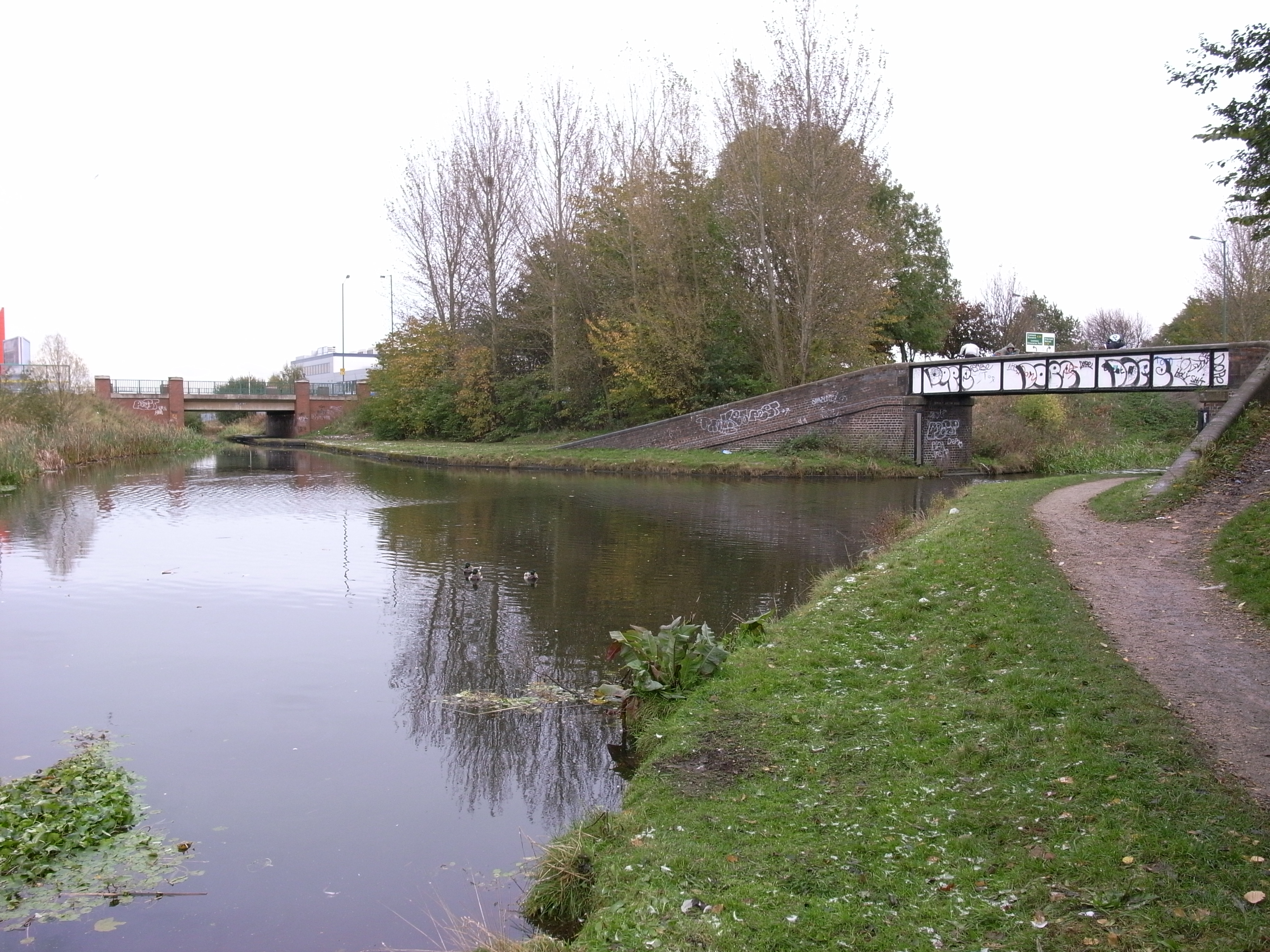
The Wyrley and Essington Canal, known locally as "the Curly Wyrley", is a canal in the English Midlands. As built it ran from Wolverhampton to Huddlesford Junction near Lichfield, with a number of branches: some parts are currently derelict. Pending planned restoration to Huddlesford, the navigable mainline now terminates at Ogley Junction near Brownhills. In 2008 it was designated a Local Nature Reserve. Construction The canal was built to allow transport of coal from coal mines near Wyrley, Essington and New Invention to Wolverhampton and Walsall, but also carried limestone and other goods. An Act of Parliament received the Royal Assent on 30 April 1792, entitled ''"An Act for making and maintaining a navigable Canal from, or from near, Wyrley Bank, in the county of Stafford, to communicate with the Birmingham and Birmingham and Fazeley Canal, at or near the town of Wolverhampton, in the said county; and also certain collateral Cuts therein described from the said inten ... [...More Info...] [...Related Items...] OR: [Wikipedia] [Google] [Baidu] |
Lichfield (district)
Lichfield () is a local government district in Staffordshire, England. It is administered by Lichfield District Council, based in Lichfield. The dignity and privileges of the City of Lichfield are vested in the parish council of the 14 km² Lichfield civil parish. The non-metropolitan district of Lichfield covers nearly 25 times this area and its local authority is Lichfield District Council. The district was formed on 1 April 1974, under the Local Government Act 1972, by a merger of the existing City of Lichfield with most of the Lichfield Rural District. Geography The district includes areas in two parliamentary constituencies: Lichfield and Tamworth. Settlements within the district * Alrewas, Armitage *Blithbury, Burntwood * Chase Terrace, Chasetown, Chorley, Clifton Campville, Colton, Comberford, Croxall, Curborough * Drayton Bassett * Edingale, Elford, Elmhurst *Farewell, Fazeley, Fisherwick, Fradley * Gentleshaw * Hademore, Hammerwich, Hamstal ... [...More Info...] [...Related Items...] OR: [Wikipedia] [Google] [Baidu] |
Burntwood
Burntwood is a former mining town and civil parish in the Lichfield District in Staffordshire, England, approximately west of Lichfield and north east of Brownhills. The town had a population of 26,049 and forms part of Lichfield district. The town forms one of the largest urbanised parishes in England. Samuel Johnson opened an academy in nearby Edial in 1736. The town is home to the smallest park (opened to commemorate the marriage of the Prince of Wales in 1863) in the UK, Prince's Park, which is located next to Christ Church on the junction of Farewell Lane and Church Road. The town expanded in the nineteenth century around the coal mining industry. Areas of Burntwood are Boney Hay, Chase Terrace, Chasetown, Gorstey Lea and Burntwood Green. Nearby places are Brownhills, Cannock, Cannock Wood, Norton Canes, Gentleshaw, Pipehill, Muckley Corner, Hammerwich and Lichfield. In July 2009 a Burntwood man, Terry Herbert, discovered a hoard of Saxon treasure wi ... [...More Info...] [...Related Items...] OR: [Wikipedia] [Google] [Baidu] |
List Of Reservoirs In Staffordshire
This is a list of reservoirs in the county of Staffordshire in England with a capacity of more than 25,000m³, based on data from the public register of reservoirs. There are 34 reservoirs above this capacity in Staffordshire, these include two water supply reservoirs, seven canal feeder reservoirs and 25 amenity or ornamental lakes. This list does not include flood storage reservoirs, service reservoirs or ash lagoons. {, class="wikitable sortable" style="font-size:100%; width:70%; border:0px; text-align:left; line-height:150%;" !width="5%", Rank !width="20%", Name !width="20%", Location !width="20%", Owner !width="20%", Use !width="50%", Capacity (m³) , - , 1 , Blithfield , Blithfield , South Staffordshire Water , Water supply , 18,172,000 , - , 2 , Tittesworth , Leek , Severn Trent , Water supply , 6,440,000 , - , 3 , Chasewater , Burntwood , Staffordshire County Council , Canal feeder , 4,400,000 , - , 4 , Rudyard Lake , Rudyard , Canal & River Trust , Canal feeder , ... [...More Info...] [...Related Items...] OR: [Wikipedia] [Google] [Baidu] |
Forest Of Mercia
The Forest of Mercia lies within the northernmost boundary of the more ancient and well-known Forest of Arden which covered the area when it formed part of the Kingdom of Mercia, and is one of twelve community forests established close to major towns and cities across England. It covers an area of 92 square miles (23,000 hectares), and is focused around the town of Cannock in South Staffordshire. History Community forests are part of an environmental improvement programme set up in 1990 by the Countryside Commission, and operated by local partnerships that include local communities, local councils, Natural England and the Forestry Commission. They were set up to help regenerate communities, renew established woodland areas by planting new trees, improving green spaces and creating new walkways and cycle paths. In the Forest of Mercia's case, the partnership includes Lichfield District Council, South Staffordshire Council, Staffordshire County Council and Walsall Metropolitan Borou ... [...More Info...] [...Related Items...] OR: [Wikipedia] [Google] [Baidu] |
Ogley Junction
Ogley Junction (), on the Staffordshire county border near Brownhills, West Midlands, England, is a historic canal junction on the Wyrley and Essington Canal where the Anglesey Branch left the main line (which led to the Coventry Canal at Huddlesford Junction, near Lichfield). History The line of the Wyrley and Essington Canal which passes through the site of Ogley Junction was part of a revised plan for the canal. As originally authorised by an Act of Parliament in 1792, it consisted of a main line from collieries at Wyrley and Essington to the Birmingham Canal Navigations at Horseley Fields Junction, near Wolverhampton, with a branch to Birchills, to the north of Walsall. Before construction was completed, a second Act obtained in 1794 authorised a large extension to the east, running from Birchills Junction, where a short stub to the original terminus remained, through Pelsall to Brownhills, where there were coal mines, and then dropping through thirteen locks to Huddlesf ... [...More Info...] [...Related Items...] OR: [Wikipedia] [Google] [Baidu] |
Birmingham Canal Navigations
Birmingham Canal Navigations (BCN) is a network of canals connecting Birmingham, Wolverhampton, and the eastern part of the Black Country. The BCN is connected to the rest of the English canal system at several junctions. It was owned and operated by the Birmingham Canal Navigations Company from 1767 to 1948. At its working peak, the BCN contained about 160 miles (257 km) of canals; today just over 100 miles (160 km) are navigable, and the majority of traffic is from tourist and residential narrowboats. History The earliest mention of the Birmingham Canal Navigation appears in Aris’s Birmingham Gazette on 11 April 1768 when it was reported that on 25 March 1768 the first general assembly of the Company of Proprietors of the Birmingham Canal Navigation was held at the Swann Inn, Birmingham, to raise funds to submit for an Act of Parliament. The first canal to be built in the area was the Birmingham Canal, authorised by the Birmingham Canal Navigation Act 1768 and ... [...More Info...] [...Related Items...] OR: [Wikipedia] [Google] [Baidu] |
Wakeboarding
Wakeboarding is a water sport in which the rider, standing on a wakeboard (a board with foot bindings), is towed behind a motorboat across its wake and especially up off the crest in order to perform aerial maneuvers. A hallmark of wakeboarding is the attempted performance of midair tricks. Wakeboarding was developed from a combination of water skiing, snowboarding and surfing techniques. The rider is usually towed by a rope behind a boat, but can also be towed by cable systems and winches, and be pulled by other motorized vehicles like personal watercraft, cars, trucks, and all-terrain vehicles. The gear and wakeboard boat used are often personalized to each rider's liking. Though natural watercourses such as rivers, lakes and areas of open water are generally used in wakeboarding, it is possible to wakeboard in unconventional locations, such as flooded roads and car parks, using a car as the towing vehicle. Wakeboarding is done for pleasure and competition, ranging from ... [...More Info...] [...Related Items...] OR: [Wikipedia] [Google] [Baidu] |
.jpg)


