|
Chandikhol
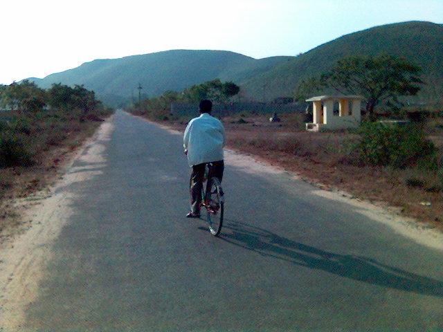
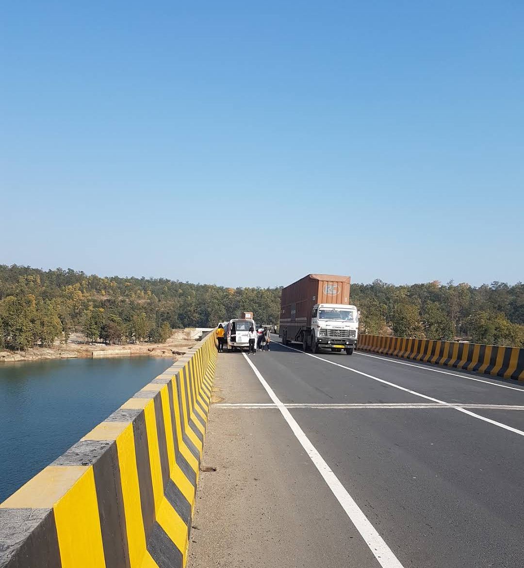
Chandikhole is a place in Jajpur district, Odisha, India. The place has been named after Goddess "Chandi" worshipped by late monk Baba Bhairabananda Bramhachari who established the deity of ''Maa Chandi'' in one of the adjoining hills of Barunei full of dense forest and ferocious animals in 1932. Chandikhol has been selected for the establishment of one of Strategic Petroleum Reserve (India) location. Geography It is located in the Jajpur District of Odisha. Location Chandikhole is one of the end points of National Highway 200, the other end being Raipur. National Highway 16 passes through Chandikhole. Nearest airport is Biju Patnaik Airport at Bhubaneswar, which is at a distance of about 70 km. It is an extremely strategic location in terms of commerce as it acts as a junction between Kalinganagar, Cuttack, Bhadrak and Paradeep. The nearest town is Jaraka which is 12 km away from this place. See also * Mahavinayak Temple *Jaraka Jaraka is a town in Dharmasala Block ... [...More Info...] [...Related Items...] OR: [Wikipedia] [Google] [Baidu] |
Mahavinayak Temple
'Mahavinayak Temple'' is a major pilgrimage center in Chandikhole in Jajpur district in the Indian state of Odisha. It is one of the oldest Ganesha temples in the state. Five gods - Shiva, Vishnu, Durga, Sun and Ganesha - are worshiped as one deity in a single Garbhagriha or sanctum sanctorum there. Multiple deities Because five gods are worshiped as one deity in the temple, there is no ''pahada'' in there. Normally, Hindu temples close after ''pahada'', which is sleeping time for the gods. Since Shiva and Vishnu are worshiped in a single sanctum sanctorum, leaves of both ''Bilva'' ''(Aegle marmelos)'' and ''Tulasi'' (Holy Basil) are used in prasadam. ''Anna'' (rice) ''prasadam'' is offered instead of Batula Bhoga. Location The Mahavinayak Temple is located in Chandikhole in Jajpur district. The first adjoining foothill base hosts the temple of Goddess Chandi, and in the second foothill base is the temple of Mahavinayak. Both have perennial springs (Golden Spring) with ''p ... [...More Info...] [...Related Items...] OR: [Wikipedia] [Google] [Baidu] |
Strategic Petroleum Reserve (India)
Indian Strategic Petroleum Reserves Limited (ISPRL) is an Indian company responsible for maintaining the country's strategic petroleum reserves. ISPRL is a wholly owned subsidiary of the Oil Industry Development Board (OIDB), which functions under the administrative control of the Ministry of Petroleum and Natural Gas. ISPRL maintains an emergency fuel store of total 5.33 MMT (million metric tons) or of strategic crude oil enough to provide 9.5 days of consumption. Strategic crude oil storages are at three underground locations in Mangalore, Visakhapatnam and Padur (Udupi, Karnataka). All these are located on the east and west coasts of India which are readily accessible to the refineries. These strategic storages are in addition to the existing storages of crude oil and petroleum products with the oil companies and serve in response to external supply disruptions. Indian refiners maintain 64.5 days of crude storage, so India has overall reserve oil storage of 74 days. His ... [...More Info...] [...Related Items...] OR: [Wikipedia] [Google] [Baidu] |
National Highway 16 (India)
National Highway 16 (NH 16) is a major National Highway in India that runs along east coast of West Bengal, Odisha, Andhra Pradesh, and Tamil Nadu. It was previously known as National Highway 5. The northern terminal starts at Dankuni National Highway 19 near Kolkata and the southern terminal is at Chennai, Tamil Nadu. It is a part of the Golden Quadrilateral project to connect India's major cities. Route Many cities and towns across the states of West Bengal, Odisha, Andhra Pradesh, Telangana, and Tamil Nadu are connected by National Highway 16. NH 16 has a total length of and passes through the states of West Bengal, Odisha, Andhra Pradesh and Tamil Nadu. Route length in states: * West Bengal: * Odisha: * Andhra Pradesh: * Tamil Nadu: Junctions list ;West Bengal : near Kolkata : near Kolkata : near Kolaghat : near Panskura : near Kharagpur : near Kharagpur ;Odisha : near Baleshwar : near Panikholi : near Chandikhol : near Cuttack : near Bhubaneswar : ... [...More Info...] [...Related Items...] OR: [Wikipedia] [Google] [Baidu] |
Maa Barunei Temple
Maa Barunei Temple is dedicated to the Hindu Goddess Barunei a manifestation of Shakti. The temple is located on the Barunei Hill in Khordha district of the Indian state of Odisha Odisha (English: , ), formerly Orissa ( the official name until 2011), is an Indian state located in Eastern India. It is the 8th largest state by area, and the 11th largest by population. The state has the third largest population of .... The temple has idols of the twin goddesses Barunei and Karunei in the sanctum sanctorum. A beautiful stream flows from the hills which is known as Swarna Ganga, which enhances the beauty of this place. References Hindu temples in Khordha district Shakti temples {{Odisha-hindu-temple-stub ... [...More Info...] [...Related Items...] OR: [Wikipedia] [Google] [Baidu] |
Jaraka
Jaraka is a town in Dharmasala Block of Jajpur district in Odisha, India and is located on the banks of Brahmani River. It is one of the fastest-growing areas in the district. Geography It is located on the banks of River Brahmani and is divided into two parts by National Highway 16 (India). The Western part mainly consists of Bada Bazaar, Hanuman Market, College Road, Telephone Exchange Road, Stadium Road, IDCO Industrial Estate and several Residential areas. There are a number of colonies here, the major ones are Kumari Colony, SuryaVihar Colony (Jamubania) and Pandua. It also has the Block Headquarters Office, Treasury and several Govt. Offices. The Eastern Part consists of mainly Market areas namely Main Market, Bus Stand, Cuttack Road, Gopabandhu Chhak and Shanti Baazar. To the north of the town Deuli Hill is present on the banks of Bramhani River Population The Population of the town is around 10,000. Education Literacy The town has a literacy rate of 87.28%, ... [...More Info...] [...Related Items...] OR: [Wikipedia] [Google] [Baidu] |
Biju Patnaik Airport
Biju Patnaik International Airport is an international airport serving Bhubaneswar, the capital city of Odisha. It is situated around south-west from Bhubaneswar Railway Station and from the city center. Named after the former chief minister of Odisha, Biju Patnaik, a famed aviator and freedom fighter, it is the 16th busiest airport in India and 11th busiest among the airports maintained by Airports Authority of India, registering an 11.7% fall in traffic over the previous year. History The airport was dedicated to the people of Odisha on 17 April 1962, becoming the first ever commercial airport in the state. The airport boasts two active scheduled passenger terminals i.e. Terminals 1 and 2 for domestic and international passengers respectively. Former Minister of Civil Aviation, Ajit Singh, inaugurated Terminal 1 on 5 March 2013, which caters to domestic passengers, whereas Terminal 2 was then refurbished to handle international operations. The Government of India accord ... [...More Info...] [...Related Items...] OR: [Wikipedia] [Google] [Baidu] |
Raipur
Raipur ( ) is the capital city of the Indian state of Chhattisgarh. Raipur is also the administrative headquarters of Raipur district and Raipur division, and the largest city of the state. It was a part of Madhya Pradesh before the state of Chhattisgarh was formed on 1 November 2000. It is a major commercial hub for trade and commerce in the region. It has exponential industrial growth and has become a major business hub in Central India. It has been ranked as India's 6th cleanest city as per the Swachh Survekshan for the year 2021. Raipur is ranked 7th in the Ease of Living Index 2019 and 7th in the Municipal Performance Index 2020, both by the Ministry of Housing and Urban Affairs (MoHUA). Raipur is also regarded as one of the best cities to do business. It is abundantly rich in mineral resources, and is among the biggest producers of steel and iron in the country. There are about 200 steel rolling mills, 195 sponge iron plants, at least 6 steel plants, 60 plywood factories, ... [...More Info...] [...Related Items...] OR: [Wikipedia] [Google] [Baidu] |
National Highway 200 (India)
''According to the new highway numbering, Old National Highway 200 is now part of this highway.'' National Highway 130 is a national highway of India. It connects Ambikapur-Katghora - Bilaspur-Raipur Raipur ( ) is the capital city of the Indian state of Chhattisgarh. Raipur is also the administrative headquarters of Raipur district and Raipur division, and the largest city of the state. It was a part of Madhya Pradesh before the state of Chh .... National Highway Authority of India is upgrading this corridor for the ease of traffic. Proposal of NHAI of upgradation * Ambikapur - Katghora (2-Lane) * Katghora - Bilaspur (4-Lane) * Bilaspur - Simga (4-Lane) * Simga - Raipur (6-Lane) Ambikapur=>Lakhanpur=>Maheshpur=>Udaypur=>Katghora(Korba dist.) Junctions : near Simga. : near Bilaspur : near Bilaspur : near Katghora : near Ambikapur References Adani-forays-into-road-infra-wins-rs-1140-cr-road-proj-in-chhattisgarhDilip-Buildcon-bags-NHAI-project-worth-Rs-86 ... [...More Info...] [...Related Items...] OR: [Wikipedia] [Google] [Baidu] |
States And Territories Of India
India is a federal union comprising 28 states and 8 union territories, with a total of 36 entities. The states and union territories are further subdivided into districts and smaller administrative divisions. History Pre-independence The Indian subcontinent has been ruled by many different ethnic groups throughout its history, each instituting their own policies of administrative division in the region. The British Raj mostly retained the administrative structure of the preceding Mughal Empire. India was divided into provinces (also called Presidencies), directly governed by the British, and princely states, which were nominally controlled by a local prince or raja loyal to the British Empire, which held ''de facto'' sovereignty ( suzerainty) over the princely states. 1947–1950 Between 1947 and 1950 the territories of the princely states were politically integrated into the Indian union. Most were merged into existing provinces; others were organised into ... [...More Info...] [...Related Items...] OR: [Wikipedia] [Google] [Baidu] |
Odisha
Odisha (English: , ), formerly Orissa ( the official name until 2011), is an Indian state located in Eastern India. It is the 8th largest state by area, and the 11th largest by population. The state has the third largest population of Scheduled Tribes in India. It neighbours the states of Jharkhand and West Bengal to the north, Chhattisgarh to the west, and Andhra Pradesh to the south. Odisha has a coastline of along the Bay of Bengal in Indian Ocean. The region is also known as Utkala and is also mentioned in India's national anthem, " Jana Gana Mana". The language of Odisha is Odia, which is one of the Classical Languages of India. The ancient kingdom of Kalinga, which was invaded by the Mauryan Emperor Ashoka (which was again won back from them by King Kharavela) in 261 BCE resulting in the Kalinga War, coincides with the borders of modern-day Odisha. The modern boundaries of Odisha were demarcated by the British Indian government when Orissa Province wa ... [...More Info...] [...Related Items...] OR: [Wikipedia] [Google] [Baidu] |
Jajpur
Jajpur (also known as Jajapur) is a town and a municipality in Jajpur district in the Indian state of Odisha. It was the capital of the Kesari dynasty, later supplanted by Cuttack. Now, it is the headquarter of Jajpur district. Etymology and names Jajpur, the place of the ancient Biraja Temple, was originally known as Biraja. Other names of the town in the ancient texts include Viranja, Varanja-nagara, Varaha-tirtha. The Bhauma-Kara kings established their capital city of Guhadevapataka (or Guheshvarapataka), identified with modern Gohiratikar (or Gohiratikra) near Jajpur. The later Somavanshi kings moved their capital from Yayatinagara (modern Binka ''Binka'' was a British animated children's television series about the adventures of a large tomcat named Binka, who frequently travels to three houses for three meals a day. The show aired from 2001 to 2005 (four years, including repeats), ...) to Guheshvarapataka, and renamed the town Abhinava-Yayatinagara ("the new c ... [...More Info...] [...Related Items...] OR: [Wikipedia] [Google] [Baidu] |
.jpg)


.png)

