|
Chamaraja Nagar
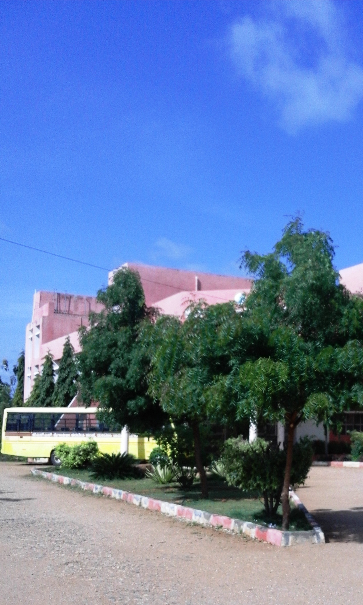
Chamarajanagar or Chamarajanagara is a town in the southern part of Karnataka, India. Named after Chamaraja Wodeyar IX, the erstwhile king of Mysore, previously known as 'Arikottara'. Chamarajanagara is the headquarters of Chamarajanagar district. It is located on the interstate highway linking the neighboring states of Tamil Nadu and Kerala. History Chamarajanagar was earlier known as Sri Arikottara. Chamaraja Wodeyar, the Wodeyar of Mysuru was born here and hence this place was renamed after him. The Vijaya Parsvanath Basadi, a holy jain shrine was constructed by Punisadandanayaka, the commander of the Hoysala king Gangaraja in the year 1117 AD. Geography Chamarajnagar is located at . It has an average elevation of . Demographics As of the 2011 census, Chamrajanagar had a population of 69875. Males constituted 51% of the population and females 49%. Chamrajanagar has an average literacy rate of 60%, higher than the national average of 59.5%; with male literacy of 65% and ... [...More Info...] [...Related Items...] OR: [Wikipedia] [Google] [Baidu] |
States And Territories Of India
India is a federal union comprising 28 states and 8 union territories, with a total of 36 entities. The states and union territories are further subdivided into districts and smaller administrative divisions. History Pre-independence The Indian subcontinent has been ruled by many different ethnic groups throughout its history, each instituting their own policies of administrative division in the region. The British Raj mostly retained the administrative structure of the preceding Mughal Empire. India was divided into provinces (also called Presidencies), directly governed by the British, and princely states, which were nominally controlled by a local prince or raja loyal to the British Empire, which held ''de facto'' sovereignty ( suzerainty) over the princely states. 1947–1950 Between 1947 and 1950 the territories of the princely states were politically integrated into the Indian union. Most were merged into existing provinces; others were organised into ... [...More Info...] [...Related Items...] OR: [Wikipedia] [Google] [Baidu] |
Mysore Airport
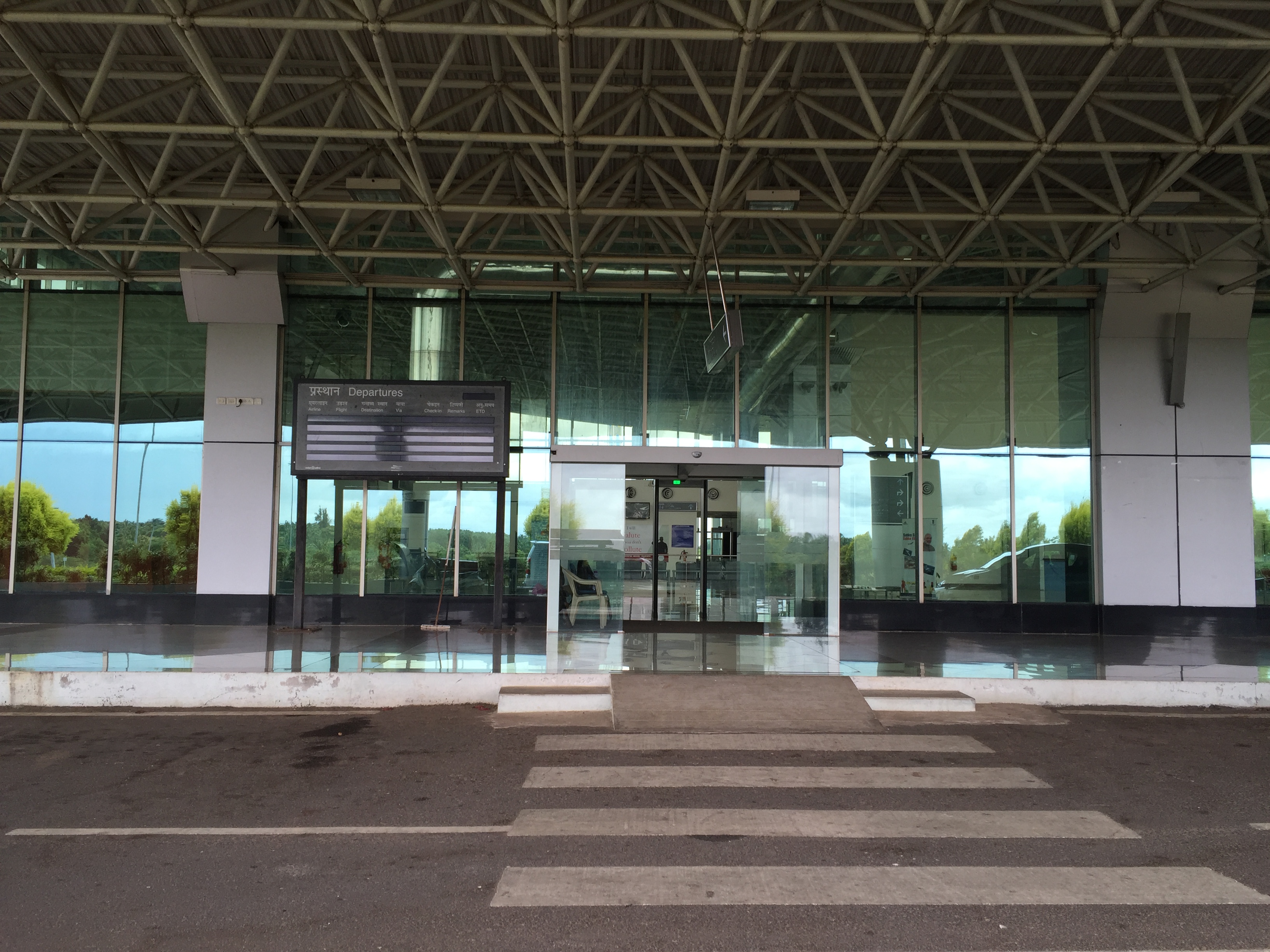
Mysore Airport , also known as Mandakalli Airport, is a domestic airport serving Mysore, a city in the Indian state of Karnataka. It is located near the village of Mandakalli, south of the city, and is owned and operated by the Airports Authority of India (AAI). As of January 2023, the airport has regular daily flights to Chennai, Hyderabad and Goa. The airport's history dates to the 1940s, when it was constructed by the Kingdom of Mysore. Passenger service, training flights of the Indian Air Force, and other operations took place at Mysore Airport during its first several decades. History In 1940, the Princely State of Mysore established the airport on of land. Following Indian independence in 1947, the Government of Karnataka assumed control of the airfield. The Ministry of Civil Aviation took control in 1950. Passenger service to Bangalore using Dakota aircraft began, but it did not last long as people found travel by road to be faster. Thereafter, ''The Hindu'' starte ... [...More Info...] [...Related Items...] OR: [Wikipedia] [Google] [Baidu] |
Mariyala
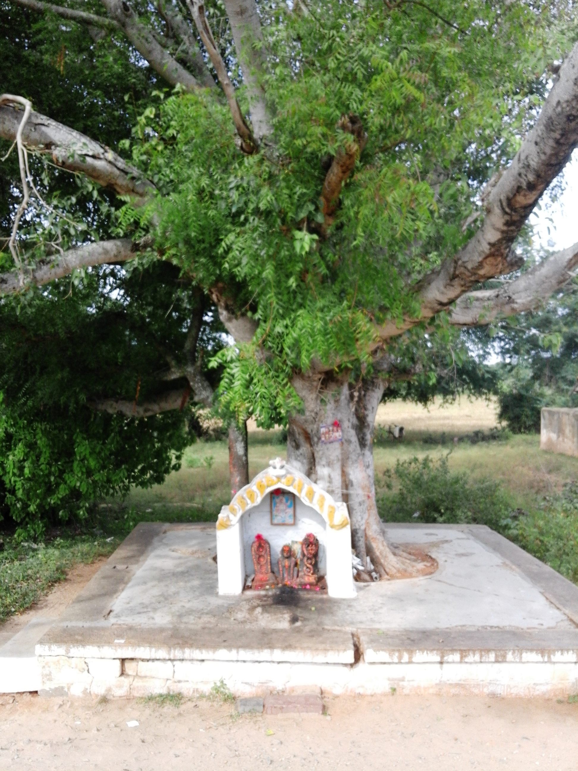
Mariyala is a village in Chamarajanagar district of Karnataka state, India. Location Mariyala is located at 4.8 kilometer northwest of Chamarajanagar town. Transportation Mariyala is served by Mariyala Gangavadi railway station. The village is on the highway between Chamarajanagar and Mysore. Post Offices * Mariyala: 571313. * Gangavadi: 571441. Demographics 2,255 people live in the village in 591 families. The literacy rate is 55%. The village is ruled by a sarpanch. Education * Government Primary School, Mariyala is at the very beginning of the village directly opposite to the village temple. * There is a new private P.U.College at the end of the village. * JSS Institute, Mariyala gives training to become electricians, fitters, electronics mechanics etc. The trainees are assisted for placements through SJCE Mysore. See also * Kavalande * Badanaguppe * Chamarajanagar *Mukkadahalli * Kellamballi Kellamballi is a small village in Chamarajanagar district of Karnata ... [...More Info...] [...Related Items...] OR: [Wikipedia] [Google] [Baidu] |
Badanaguppe
Badanaguppe is a village in Chamarajanagar district of Karnataka state, India. Location Badanaguppe is located 11 km from Chamarajanagar town and 157 km from Bangalore, on the highway between Chamarajanagar and Nanjangud town. Economy The people of the village are completely agrarian in their occupation. There is a branch of Canara Bank in the village. The provincial government has started a project on 1,595 acres of land called ''Badanaguppe-Kellamballi Industrial Estate'' which will include sectors like automobile, food processing, textiles, leather, granite and agriculture related industries. Tourist attractions * Panyada Hundi temple, Badanaguppe. Post office There is a post office at Badanaguppe and the pin code is 571313. Nearby places Nanjedevanapura (8 km), Mukkadahalli (9 km), Madapura (10 km), Harave (10 km), Kuderu (10 km) are the nearby villages to Badanaguppe. Demographics 3,498 people live in Badanaguppe and there ar ... [...More Info...] [...Related Items...] OR: [Wikipedia] [Google] [Baidu] |
Chinnadagudihundi
Chinnadagudihundi is a village in Mysore district, Karnataka, India. Situation Chinnadaguddihundi is located southeast of Nanjangud in the Mysore district. The village is located by the highway between Nanjangud and Chamarajanagar. Economy Most of the villagers are employed in the agricultural sector, growing their own crops. There are five provision stores and two tea shops in the village. It has no restaurants or lodges. Transportation Chinnadagudihundi railway station is on the Mysore–Chamarajanagar branch line. This station is the closest to Chinnadagudihundi. The nearest major railway station is Mysore Junction. See also * Sujatha Puram Halt *Nanjangud Town *Badanavalu Badanavalu is a village in Mysore district of Karnataka state, India. Location Badanavalu is located in Nanjangud taluk of Mysore district, on the road between Mysore and Chamarajanagar. Badanavalu is 34 km from Mysore, 10 km from N ... * Narasam Budhi Image gallery File:Chinnada ... [...More Info...] [...Related Items...] OR: [Wikipedia] [Google] [Baidu] |
Bandipur National Park
Bandipur National Park is a national park covering in Chamarajnagar district in the Indian state of Karnataka. It was established as a tiger reserve under Project Tiger in 1973. It is part of the Nilgiri Biosphere Reserve since 1986. History The Maharaja of the Kingdom of Mysore created a sanctuary of in 1931 and named it the Venugopala Wildlife Park. The Bandipur Tiger Reserve was established under Project Tiger in 1973 by adding nearly to the Venugopala Wildlife park. Geography Bandipur National Park is located between 75° 12’ 17" E to 76° 51’ 32" E and 11° 35’ 34" N to 11° 57’ 02" N where the Deccan Plateau meets the Western Ghats, and the altitude of the park ranges from to . As a result, the park has a variety of biomes including Tropical and subtropical dry broadleaf forests, dry deciduous forests, Tropical and subtropical moist broadleaf forests, moist deciduous forests and Tropical and subtropical grasslands, savannas, and shrublands, shrublands. The wi ... [...More Info...] [...Related Items...] OR: [Wikipedia] [Google] [Baidu] |
Biligiriranga Hills
The Biligirirangana Hills or Biligirirangan Hills (as referred to in biology and geology) is a hill range situated in south-western Karnataka, at its border with Tamil Nadu (Erode District) in South India. The area is called Biligiri Ranganatha Swamy Temple Wildlife Sanctuary or simply BRT Wildlife Sanctuary. It is a Protected area, protected reserve under the Wildlife Protection Act of 1972. Being close to the Eastern Ghats as well as the Western Ghats, the sanctuary has floral and faunal associations with both regions. The site was declared a tiger reserve in January 2011 by the Karnataka government, a few months after approval from India's National Tiger Conservation Authority. Location The hills are located at the north-west of the Western Ghats and the westernmost edge of the Eastern Ghats. Thus this area supports a diverse flora and fauna in view of the various habitat types present. A wildlife sanctuary of was created around the temple on 27 June 1974, and enlarged to o ... [...More Info...] [...Related Items...] OR: [Wikipedia] [Google] [Baidu] |
Male Mahadeshwara Hills
Male Mahadeshwara Betta (Kannada: ಮಲೆ ಮಹದೇಶ್ವರ (also ಮಾದೇಶ್ವರ))is a pilgrim town located in the Hanur taluk of Chamarajanagar district of southern Karnataka. It is situated at about 150 km from Mysuru and about 210 km from Bengaluru. The ancient and sacred temple of Sri Male Mahadeshwara is a pilgrim centre where Mahadeshwara lived, practiced medicine as Sidda, taught ahimsa to people in and around the seven hills. It draws lakhs of pilgrims from the states of Karnataka and Tamil Nadu. The area of the present temple surroundings is . In addition, the temple has lands at Talabetta, Haleyuru and Indiganatha villages. Amidst dense forest, the temple attracts not only the pilgrims but also nature lovers. The height of the hill is about 3000 feet above sea level. The Lord Sri Mahadeshwara is believed to be the incarnation of Lord Shiva. Historical evidences suggest that the Saint Mahadeshwara must have lived during the 15th century ... [...More Info...] [...Related Items...] OR: [Wikipedia] [Google] [Baidu] |
Gundlupet
Gundlupet also known as Land of Tigers (''Gundlupētē'' in Kannada) is a municipal town situated in the Chamarajanagar district of Karnataka, India. It is also known as "''The flower pot of India''". It is situated 60 km away from NH 766 and approximately 200 km from the state administrative capital, Bangalore. Gundlupet is the last town in Karnataka on the National Highway 766 which goes through Mysore, Ooty, Wayanad, and Calicut. It is situated very close to the Tamil Nadu and Kerala state borders. NH 181 begins from Gundlupet and ends in Nagapattinam in Tamil Nadu Tamil Nadu (; , TN) is a state in southern India. It is the tenth largest Indian state by area and the sixth largest by population. Its capital and largest city is Chennai. Tamil Nadu is the home of the Tamil people, whose Tamil language ... via Ooty and Coimbatore. The Bandipur National Park is situated 17 km away from Gundlupet. Gundlupet was previously known as ''Vijayapura'', named after the ancie ... [...More Info...] [...Related Items...] OR: [Wikipedia] [Google] [Baidu] |
Yelandur
Yalandur is a taluk and town in Chamarajanagar district in southern Karnataka, India. It has historic and cultural importance in this region. Along with three other taluks, it was officially included into Chamarajanagar district when the district was notified upon bifurcation of Mysore district in 1997. Historic importance It was under the rule of the Vijayanagara Empire in the 15th and 16th centuries. When it came under the rule of Wadiyar dynasty of Mysuru, in the early 18th century, Dewan Purnaiah, a notable Dewan of Kingdom of Mysore from here, was gifted the Jagir of Yalandur and its surrounding villages by Krishnaraja Wodeyar III - the King of Mysuru, in appreciation of the great service rendered to the Mysuru State by Purnaiah as Dewan or the Prime Minister. Purnaiah was instrumental in making the Mysore State into a strong empire and greatly admired, as son of the soil, for having developed the region with several visionary works. Economy Geography Yelandur is ... [...More Info...] [...Related Items...] OR: [Wikipedia] [Google] [Baidu] |
Kollegal
Kollegal is one of the major taluks in the Chamarajanagara District of Karnataka State in the south of India. It is also the largest taluk in Karnataka, Kollegal is well known for its silk industry which attracts traders from all over the state. History Until 1956, Kollegal was part of the Coimbatore district of the Madras Presidency. The States Reorganisation Act of 1956 moved Kollegal to Karnataka primarily organising it along linguistic lines. Kollegal is the name derived from the names of two hermits namely 'Kauhala' and 'Galava' who were believed to be instrumental in the development of Kollegal. Kollegal, also called "Silk City", is famous for its handloom silk saree industry. Kollegal is one of the larger taluks in Karnataka and was previously the largest. Plans are underway to divide Kollegal, making Hanur the capital of the new taluk in the Chamarajanagara District. This separation has been ongoing for years is not yet entirely in effect. Kollegal serves as a center ... [...More Info...] [...Related Items...] OR: [Wikipedia] [Google] [Baidu] |
Dharmapuri
Dharmapuri is a special grade town in the north western part of Tamil Nadu, India. It serves as the administrative headquarters of Dharmapuri district which is the first district created in Tamil Nadu after the independence of India by splitting it from then Salem district on 2 October 1965. The city is located at 50 km from Krishnagiri, 69 km from Salem, 90 km from Hosur, 117 km from Thiruvannamalai, 126 km from Bangalore and Erode, 181 km from Tiruppur, 200 km from Coimbatore and Tiruchirappalli, 300 km from Madurai and the state capital Chennai. It is located between latitudes N 11 47’ and 12 33’ and longitudes E 77 02’ and 78 40’. It is one of the leading major cultivator and producer of mango in the state along with Krishnagiri often referred as Mango Capital of India. History Dharmapuri was called Thagadoor where King Adhiyamaan ruled. Adhiyaman Kottai is situated near Dharmapuri-Salem highway. Many temples were built duri ... [...More Info...] [...Related Items...] OR: [Wikipedia] [Google] [Baidu] |


.jpg)