|
Central Plain (Wisconsin)
In the U.S. state of Wisconsin, the Central Plain is a geographical region consisting of about of land in a v-shaped belt across the center of the state. Beginning in the west, the Central Plain originates in Burnett and Polk Counties and runs southeast to Columbia County, where it turns northeast and reaches its end in Marinette County. The Central Plain region generally takes the form of a flat sandy plain with elevations between 700 and above sea level. There are variations on the flatland, however. Hills in Barron County possess the region’s highest altitudes, reaching more than above sea level. This section of the region is primarily a hardwood forest of maple, birch, and aspen, but there are several areas of agriculture scattered across the area. The plain is occasionally broken by rolling hills throughout its western half. Plains which were once the bed of Glacial Lake Wisconsin dominate the south central part of the region. Farms, fields, and cranberry bogs cover ... [...More Info...] [...Related Items...] OR: [Wikipedia] [Google] [Baidu] |
Wisconsin Geographic Provinces
Wisconsin () is a state in the upper Midwestern United States. Wisconsin is the 25th-largest state by total area and the 20th-most populous. It is bordered by Minnesota to the west, Iowa to the southwest, Illinois to the south, Lake Michigan to the east, Michigan to the northeast, and Lake Superior to the north. The bulk of Wisconsin's population live in areas situated along the shores of Lake Michigan. The largest city, Milwaukee, anchors its largest metropolitan area, followed by Green Bay and Kenosha, the third- and fourth-most-populated Wisconsin cities respectively. The state capital, Madison, is currently the second-most-populated and fastest-growing city in the state. Wisconsin is divided into 72 counties and as of the 2020 census had a population of nearly 5.9 million. Wisconsin's geography is diverse, having been greatly impacted by glaciers during the Ice Age with the exception of the Driftless Area. The Northern Highland and Western Upland along with a part ... [...More Info...] [...Related Items...] OR: [Wikipedia] [Google] [Baidu] |
Kettle Hole
A kettle (also known as a kettle lake, kettle hole, or pothole) is a depression/hole in an outwash plain formed by retreating glaciers or draining floodwaters. The kettles are formed as a result of blocks of dead ice left behind by retreating glaciers, which become surrounded by sediment deposited by meltwater streams as there is increased friction. The ice becomes buried in the sediment and when the ice melts, a depression is left called a kettle hole, creating a dimpled appearance on the outwash plain. Lakes often fill these kettles; these are called kettle hole lakes. Another source is the sudden drainage of an ice-dammed lake. When the block melts, the hole it leaves behind is a kettle. As the ice melts, ramparts can form around the edge of the kettle hole. The lakes that fill these holes are seldom more than deep and eventually fill with sediment. In acid conditions, a kettle bog may form but in alkaline conditions, it will be kettle peatland. Overview Kettles are fluvio ... [...More Info...] [...Related Items...] OR: [Wikipedia] [Google] [Baidu] |
Juneau County, Wisconsin
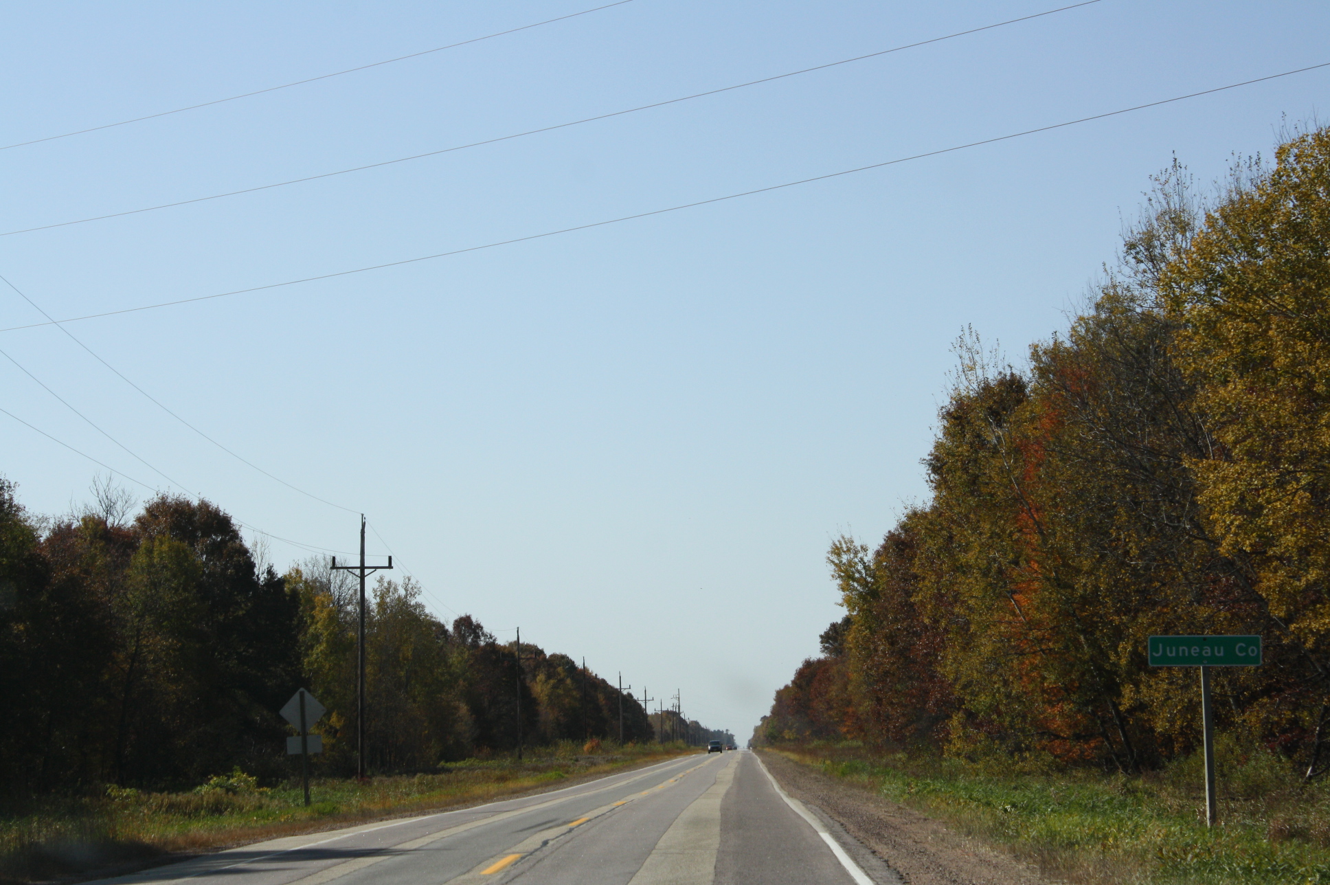
Juneau County is a county located in the U.S. state of Wisconsin. As of the 2020 census, the population was 26,718. Its county seat is Mauston. History Before white settlement, before loggers and explorers, the area that is now Juneau County was the home of Native Americans who left behind artifacts like the thunderbirds etched on the wall at Twin Bluffs and the Gee's Slough mounds outside New Lisbon. Juneau County was established in 1857 when the Wisconsin Legislature passed legislation separating lands west of the Wisconsin River from what was then Adams County. After a contest with neighboring New Lisbon, the county seat was established in Maugh's Town, which is known today as Mauston. The county was named after Solomon Juneau, a founder of Milwaukee. Geography According to the U.S. Census Bureau, the county has a total area of , of which is land and (4.6%) is water. Major highways Railroads *Canadian National *Canadian Pacific *Union Pacific Buses *List of in ... [...More Info...] [...Related Items...] OR: [Wikipedia] [Google] [Baidu] |
Jackson County, Wisconsin
Jackson County is a county located in the U.S. state of Wisconsin. As of the 2020 census, the population was 21,145. Its county seat is Black River Falls. Jackson County was formed from Crawford County in 1853. It was named for President Andrew Jackson. Geography According to the U.S. Census Bureau, the county has a total area of , of which is land and (1.3%) is water. Adjacent counties * Clark County - north * Wood County - east * Juneau County - southeast * Monroe County - south * La Crosse County - southwest * Trempealeau County - west * Eau Claire County - northwest Major highways Railroads *Canadian National *Union Pacific Buses *List of intercity bus stops in Wisconsin Demographics 2020 census As of the census of 2020, the population was 21,145. The population density was . There were 9,613 housing units at an average density of . The racial makeup of the county was 85.8% White, 6.5% Native American, 2.1% Black or African American, 0.4% Asian, 1.2% from oth ... [...More Info...] [...Related Items...] OR: [Wikipedia] [Google] [Baidu] |
Green Lake County, Wisconsin
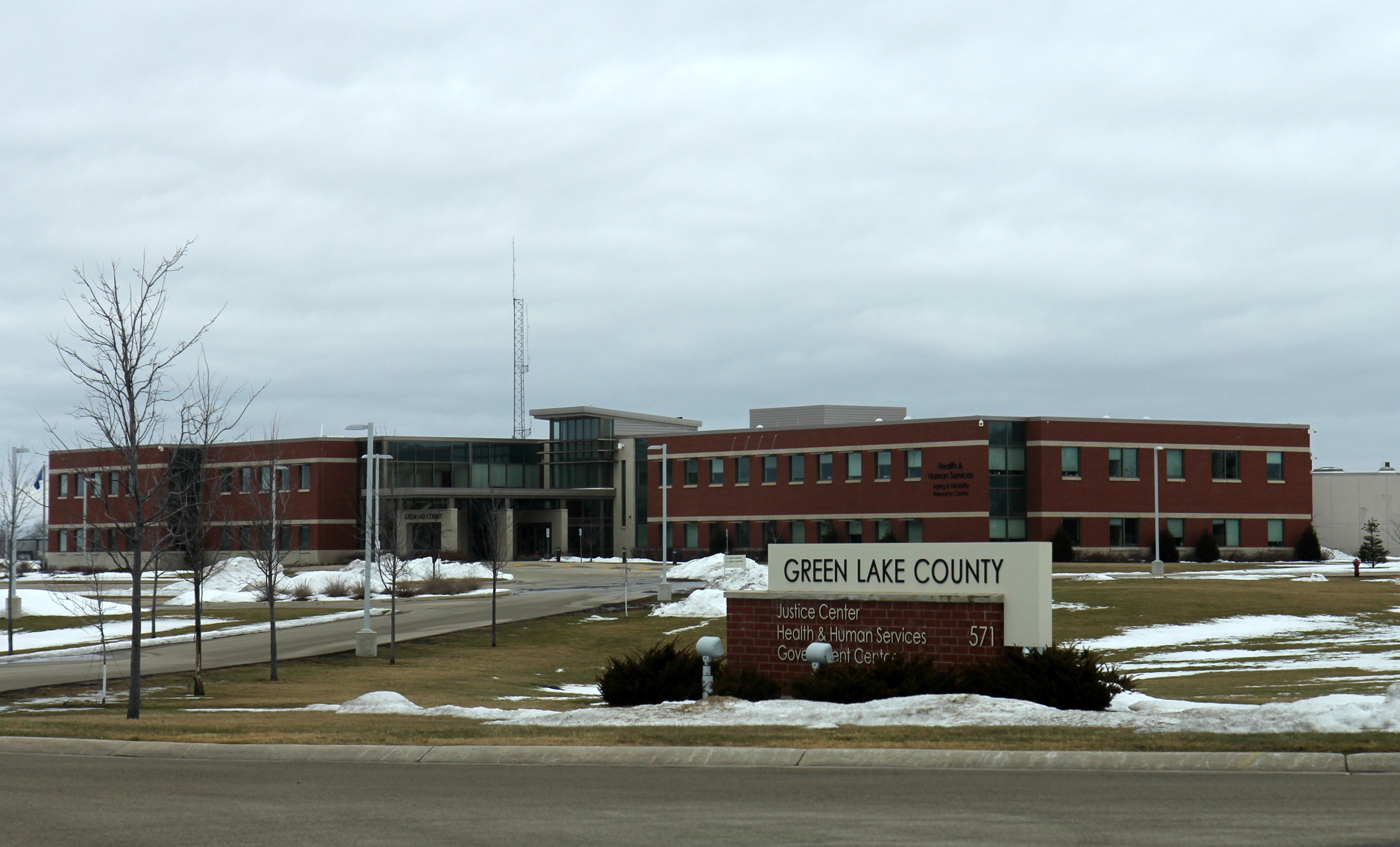
Green Lake County is a county located in the U.S. state of Wisconsin. As of the 2020 census, the population was 19,018. Its county seat is Green Lake. In 2020, the center of population of Wisconsin was located in Green Lake County, near the city of Markesan. Geography According to the U.S. Census Bureau, the county has a total area of , of which are land and (8.1%) are covered by water. It is the third-smallest county in Wisconsin by total area. Major highways * Highway 23 (Wisconsin) * Highway 44 (Wisconsin) * Highway 49 (Wisconsin) * Highway 73 (Wisconsin) * Highway 91 (Wisconsin) Railroads *Union Pacific * Wisconsin and Southern Railroad Buses * List of intercity bus stops in Wisconsin Adjacent counties * Waushara County – north * Winnebago County – northeast * Fond du Lac County – east * Dodge County – southeast * Columbia County – southwest * Marquette County – west Demographics 2020 census As of the census of 2020, the population wa ... [...More Info...] [...Related Items...] OR: [Wikipedia] [Google] [Baidu] |
Eau Claire County, Wisconsin
Eau Claire County is a county located in the U.S. state of Wisconsin. As of the 2020 census, the population was 105,710. Its county seat is Eau Claire. The county took its name from the Eau Claire River. Eau Claire County is included in the Eau Claire, WI Metropolitan Statistical Area as well as the Eau Claire- Menomonie WI Combined Statistical Area. History Eau Claire county was originally set off as the Town of Clearwater in Chippewa County in 1855. The name was changed to the Town of Eau Claire on March 31, 1856. The entire town was separated as Eau Claire County by an act of the Wisconsin State Legislature on October 6, 1856. Geography According to the U.S. Census Bureau, the county has a total area of , of which is land and (1.1%) is water. Adjacent counties * Chippewa County – north * Clark County – east * Jackson County – southeast * Trempealeau County – south * Buffalo County – southwest * Pepin County – west * Dunn County – west Demographic ... [...More Info...] [...Related Items...] OR: [Wikipedia] [Google] [Baidu] |
Dunn County, Wisconsin
Dunn County is a county in the U.S. state of Wisconsin. As of the 2020 census, the population was 45,440. Its county seat is Menomonie. Dunn County comprises the Menomonie Micropolitan Statistical Area and is included in the Eau Claire-Menomonie, WI Combined Statistical Area. History Dunn county was founded in 1854 from Chippewa County and organized in 1857. It is named for Charles Dunn, the territory's first chief justice. Geography According to the U.S. Census Bureau, the county has a total area of , of which is land and (1.6%) is water. Adjacent counties * Barron County - north * Chippewa County - east * Eau Claire County - southeast * Pepin County - south * Pierce County - southwest * Polk County - northwest * Saint Croix County - west Major highways Railroads *Canadian National *Union Pacific Buses *Dunn County Transit *List of intercity bus stops in Wisconsin Airports * Menomonie Municipal Airport (KLUM) serves the county and surrounding communities. * ... [...More Info...] [...Related Items...] OR: [Wikipedia] [Google] [Baidu] |
Clark County, Wisconsin
Clark County is a county in the U.S. state of Wisconsin. As of the 2020 census, the population was 34,659. Its county seat is Neillsville. History By the early 1800s, the land and streams that are now Clark County were the hunting grounds of Chippewa, Dakota, Ho-Chunk and possibly Menominee peoples. In 1836 these Indians were joined by a party of French-Canadian fur traders who started a temporary post for the American Fur Company on the Black River's East Fork. The next White arrival was probably Mormon loggers in 1844, come to cut pine logs from the forests along the Black River and float them down to a sawmill at Black River Falls. From there the sawed wood would be floated down the river to be used in construction of the Mormon temple in Nauvoo, Illinois. They had camps on the river at what is called Mormon Riffle, a mile below Neillsville, near Weston's Rapids, and south of Greenwood. This project probably ended by 1846, when most of the Mormons headed west after the m ... [...More Info...] [...Related Items...] OR: [Wikipedia] [Google] [Baidu] |
Chippewa County, Wisconsin
Chippewa County is a county located in the U.S. state of Wisconsin. It is named for the historic Chippewa people, also known as the Ojibwe, who long controlled this territory. As of the 2020 census, the population was 66,297. Its county seat is Chippewa Falls. The county was founded in 1845 from Crawford County, then in the Wisconsin Territory, and organized in 1853. Chippewa County is included in the Eau Claire, WI Metropolitan Statistical Area as well as the Eau Claire- Menomonie, WI Combined Statistical Area. Geography According to the U.S. Census Bureau, the county has a total area of , of which is land and (3.2%) is water. Parts of northern Chippewa county are covered with choppy hills dimpled by kettle lakes and bogs—the terminal moraine left by the last glacier. The Ice Age Trail threads through some of this country, providing public foot-access to these unusual landforms. Adjacent counties * Rusk County – north * Taylor County – east * Clark Count ... [...More Info...] [...Related Items...] OR: [Wikipedia] [Google] [Baidu] |
Adams County, Wisconsin
Adams County is a county in the U.S. state of Wisconsin. As of the 2020 census, the population was 20,654. Its county seat is Friendship. The county was created in 1848 and organized in 1853. Sources differ as to whether its name is in honor of the second President of the United States, John Adams, or his son, the sixth President, John Quincy Adams. History The founders of Adams County were from upstate New York. These people were "Yankee" settlers, that is to say they were descended from the English Separatists who settled New England in the 1600s. They were part of a wave of New England farmers who headed west into what was then the wilds of the Northwest Territory during the early 1800s. Most of them arrived as a result of the completion of the Erie Canal and the end of the Black Hawk War. They got to what is now Adams County by sailing up the Wisconsin River from the Mississippi River on small barges which they constructed themselves out of materials obtained from the ... [...More Info...] [...Related Items...] OR: [Wikipedia] [Google] [Baidu] |
Wisconsin Rapids, Wisconsin
Wisconsin Rapids is a city in and the county seat of Wood County, Wisconsin, Wood County, Wisconsin. The population was 18,877 at the 2020 United States Census, 2020 census. The city also forms one of the core areas of the United States Census Bureau's Marshfield-Wisconsin Rapids Micropolitan Statistical Area, which includes all of Wood County and had a 2020 population of 74,207. History The American Indians called the area "Ahdawagam", meaning "Two-sided Rapids". Although Europeans began to settle this area in the 1830s, Wisconsin Rapids has been known by this name only since 1920. Prior to that, the community was divided by the Wisconsin River, with the west side incorporated as Centralia and the east side as Grand Rapids. The two cities merged in 1900, with the entire community taking the name Grand Rapids. The name was changed in 1920 to avoid mail and other goods from being misdirected to the much better known Grand Rapids, Michigan. Geography Wisconsin Rapids is located ... [...More Info...] [...Related Items...] OR: [Wikipedia] [Google] [Baidu] |
Stevens Point, Wisconsin
Stevens Point is the county seat of Portage County, Wisconsin, United States. The city was incorporated in 1858. Its 2020 population of 25,666 makes it the largest city in the county. Stevens Point forms the core of the United States Census Bureau's Stevens Point Micropolitan Statistical Area, which had a 2020 population of 70,377 Stevens Point is home to the University of Wisconsin–Stevens Point and a campus of Mid-State Technical College. History Historically part of the Menominee homelands, a three-mile strip along the Wisconsin River was ceded to the United States in an 1836 treaty. In 1854 the Menominee made its last treaty with the U.S., gathering on a reservation on the Wolf River. In the Menominee language it is called ''Pasīpahkīhnen'' which means "It juts out as land" or "point of land". Stevens Point was named after George Stevens, who operated a grocery and supply business on the Wisconsin River during the extensive logging of interior Wisconsin. The river w ... [...More Info...] [...Related Items...] OR: [Wikipedia] [Google] [Baidu] |


