|
Cedarville High School (Arkansas)
Cedarville High School (CHS) is a comprehensive public high school serving students in grades nine through twelve in the rural community of Cedarville, Arkansas, United States. It is one of five public high schools located in Crawford County and serves the communities of Cedarville, Uniontown, Van Buren, Rudy, Natural Dam, and Chester. With more than 325 students, it is the sole high school of the Cedarville School District. Academics The school is accredited by the Arkansas Department of Education (ADE). The assumed course of study follows the Smart Core curriculum developed by the ADE, which requires students to complete at least 24 credit units before graduation. Students engage in regular (core) and career focus courses and exams and may select Advanced Placement (AP) coursework and exams that may lead to college credit. Athletics The Cedarville High School mascot and athletic emblem is the ''Pirate'' with the school colors of royal blue and gold. The Cedarville Pir ... [...More Info...] [...Related Items...] OR: [Wikipedia] [Google] [Baidu] |
Cedarville, Arkansas
Cedarville is a city in Crawford County, Arkansas, United States. It is part of the Fort Smith, Arkansas- Oklahoma Metropolitan Statistical Area. The population was 1,410 at the 2020 census. History Cedarville was platted in 1879. A post office has been in operation at Cedarville since 1872. Geography Cedarville is located in western Crawford County at (35.582296, −94.360812), on the southern edge of Ozark National Forest. Arkansas Highway 59 runs through the city, leading north towards Lincoln and south to Van Buren, the Crawford County seat. According to the United States Census Bureau, Cedarville has a total area of , all land. Demographics As of the census of 2000, there were 1,133 people, 406 households, and 328 families residing in the city. The population density was . There were 442 housing units at an average density of . The racial makeup of the city was 94.53% White, 0.18% Black or African American, 2.74% Native American, 0.26% Asian, 0.18% from other races, ... [...More Info...] [...Related Items...] OR: [Wikipedia] [Google] [Baidu] |
Crawford County, Arkansas
Crawford County is a County (United States), county located in the Ozarks region of the U.S. state of Arkansas. As of the 2010 United States Census, 2010 census, the population was 61,948, making it the 12th-most populous of Arkansas's 75 counties. The county seat and largest city is Van Buren, Arkansas, Van Buren. Crawford County was formed on October 18, 1820, from the former Lovely County, Arkansas, Lovely County and Indian Territory, and was named for William H. Crawford, the United States Secretary of War in 1815. Located largely within the Ozarks, the southern border of the county is the Arkansas River, placing the extreme southern edge of the county in the Arkansas River Valley. The frontier county became an early crossroads, beginning with a California Gold Rush and developing into the Butterfield Overland Mail, American Civil War, Civil War trails and railroads such as the St. Louis and San Francisco Railway, the Little Rock and Fort Smith Railroad, and the St. Louis, Ir ... [...More Info...] [...Related Items...] OR: [Wikipedia] [Google] [Baidu] |
Piracy
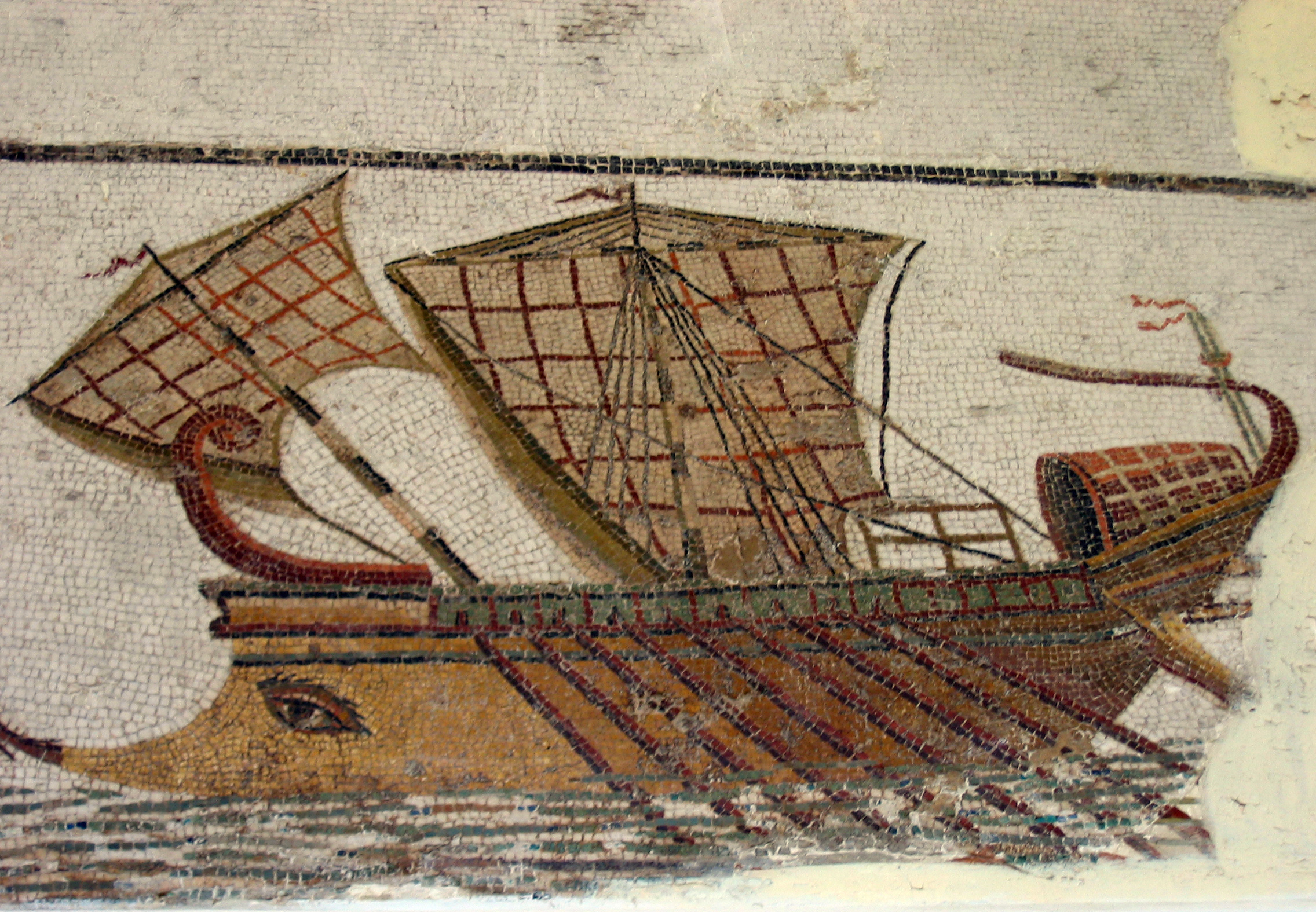
Piracy is an act of robbery or criminal violence by ship or boat-borne attackers upon another ship or a coastal area, typically with the goal of stealing cargo and other valuable goods. Those who conduct acts of piracy are called pirates, vessels used for piracy are pirate ships. The earliest documented instances of piracy were in the 14th century BC, when the Sea Peoples, a group of ocean raiders, attacked the ships of the Aegean and Mediterranean civilisations. Narrow channels which funnel shipping into predictable routes have long created opportunities for piracy, as well as for privateering and commerce raiding. Historic examples include the waters of Gibraltar, the Strait of Malacca, Madagascar, the Gulf of Aden, and the English Channel, whose geographic structures facilitated pirate attacks. The term ''piracy'' generally refers to maritime piracy, although the term has been generalized to refer to acts committed on land, in the air, on computer networks, and (in scie ... [...More Info...] [...Related Items...] OR: [Wikipedia] [Google] [Baidu] |
Chester, Arkansas
Chester is a town in Crawford County, Arkansas, Crawford County, Arkansas, United States. It is part of the Fort Smith, Arkansas-Oklahoma Fort Smith metropolitan area, Metropolitan Statistical Area. As of the 2020 United States Census, 2020 Census the population was 144. History Chester was platted in 1887 when the railroad was extended to that point. A post office called Chester has been in operation since 1883. Geography According to the United States Census Bureau, the town has a total area of 1.3 km2 (0.5 mi2), all land. Demographics As of the census of 2000, there were 99 people, 35 households, and 26 families residing in the town. The population density was 76.4/km2 (197.1/mi2). There were 46 housing units at an average density of 35.5/km2 (91.6/mi2). The racial makeup of the town was 89.90% Race (United States Census), White and 10.10% Race (United States Census), Native American. 2.02% of the population were Race (United States Census), Hispanic or Race (Unit ... [...More Info...] [...Related Items...] OR: [Wikipedia] [Google] [Baidu] |
Natural Dam, Arkansas
Natural Dam is an unincorporated community in Crawford County, Arkansas, United States. Natural Dam is located on Arkansas Highway 59, north-northwest of Cedarville. Natural Dam has a post office with ZIP code 72948. The now-replaced Lee Creek Bridge, which was listed on the National Register of Historic Places, was located in the community. The community was named for a natural dam near the original town site. Notable person * Shay Mooney, half of country duo Dan + Shay Dan or DAN may refer to: People * Dan (name), including a list of people with the name ** Dan (king), several kings of Denmark * Dan people, an ethnic group located in West Africa **Dan language, a Mande language spoken primarily in Côte d'Ivoir ... References Unincorporated communities in Crawford County, Arkansas Unincorporated communities in Arkansas {{CrawfordCountyAR-geo-stub ... [...More Info...] [...Related Items...] OR: [Wikipedia] [Google] [Baidu] |
Rudy, Arkansas
Rudy is a town in Crawford County, Arkansas, United States. It is part of the Fort Smith, Arkansas- Oklahoma Metropolitan Statistical Area. As of the 2020 Census the population was 130. The population was 72 at the 2000 census. History Rudy was platted when the St. Louis–San Francisco Railway was extended to that point. A post office called Rudy has been in operation since 1883. Geography According to the United States Census Bureau, the town has a total area of , all land. Demographics As of the 2020 United States census there were 130 people, 58 housing units, and 59 families residing in the town. The population density was 463.3/km (1,251.4/mi2). There were 30 housing units at an average density of 193.1/km (521.4/mi2). The racial makeup of the town was 90% White and 0.7% Native American. 1.39% of the population were Hispanic or Latino of any race, and 2.3% were Asian. As of the 2010 census, there were 58 households, out of which 37.0% had children under the age of ... [...More Info...] [...Related Items...] OR: [Wikipedia] [Google] [Baidu] |
Van Buren, Arkansas
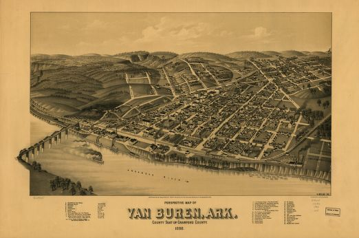
Van Buren ( ) is the second-largest city in the Fort Smith, Arkansas–Oklahoma Metropolitan Statistical Area and the county seat of Crawford County, Arkansas, United States. The city is located directly northeast of Fort Smith at the Interstate 40 – Interstate 540 junction. The city was incorporated in 1845 and as of the 2010 census had a population of 22,791, ranking it as the state's 22nd-largest city, behind Searcy. History Early history The area was settled by David Boyd and Thomas Martin in 1818. After Arkansas became a territory in 1819, Daniel and Thomas Phillips constructed a lumber yard in the community to serve as a fuel depot for traffic along the Arkansas River. In 1831, a post office was constructed for the community, at the time known as Phillips Landing. This post office was named after newly appointed Secretary of State and future President Martin Van Buren. John Drennen, along with his partner David Thompson, purchased the area for US$11,000. ... [...More Info...] [...Related Items...] OR: [Wikipedia] [Google] [Baidu] |
Uniontown, Arkansas
Uniontown is an unincorporated community and census-designated place (CDP) in Crawford County, Arkansas, United States. It is located on Arkansas Highway 220 near the Oklahoma border, west-northwest of Cedarville. Uniontown has a post office with ZIP code 72955. It was first listed as a CDP in the 2020 census with a population of 112. History The first permanent settlement at Uniontown was made in the 1840s by the Howell family. A post office has been in operation at Uniontown since 1881. Slack-Comstock-Marshall Farm, which is listed on the National Register of Historic Places The National Register of Historic Places (NRHP) is the United States federal government's official list of districts, sites, buildings, structures and objects deemed worthy of preservation for their historical significance or "great artistic ..., is located in the community. Demographics 2020 census References Unincorporated communities in Crawford County, Arkansas Unincorporat ... [...More Info...] [...Related Items...] OR: [Wikipedia] [Google] [Baidu] |
Secondary Education In The United States
Secondary education in the United States is the last six or seven years of statutory formal education, including or (varies by states and sometimes by district) through . It occurs in two phases. The first is the ISCED lower secondary phase, a middle school or junior high school for students through . The second is the ISCED upper secondary phase, a high school or senior high school for students through . There is some debate over the optimum age of transfer, and variation in some states; also, middle school often includes grades that are almost always considered primary school. History High school enrollment increased when schools at this level became free, laws required children to attend until a certain age, and it was believed that every American student had the opportunity to participate regardless of their ability. In 1892, in response to many competing academic philosophies being promoted at the time, a working group of educators, known as the "Committee of Ten" wa ... [...More Info...] [...Related Items...] OR: [Wikipedia] [Google] [Baidu] |
Comprehensive Education , an exam taken in some countries by graduates.
{{disambig ...
Comprehensive may refer to: *Comprehensive layout, the page layout of a proposed design as initially presented by the designer to a client. *Comprehensive school, a state school that does not select its intake on the basis of academic achievement or aptitude. *Comprehensive examination In higher education, a comprehensive examination (or comprehensive exam or exams), often abbreviated as "comps", is a specific type of examination that must be completed by graduate students in some disciplines and courses of study, and also by un ... [...More Info...] [...Related Items...] OR: [Wikipedia] [Google] [Baidu] |
Pirate
Piracy is an act of robbery or criminal violence by ship or boat-borne attackers upon another ship or a coastal area, typically with the goal of stealing cargo and other valuable goods. Those who conduct acts of piracy are called pirates, vessels used for piracy are pirate ships. The earliest documented instances of piracy were in the 14th century BC, when the Sea Peoples, a group of ocean raiders, attacked the ships of the Aegean and Mediterranean civilisations. Narrow channels which funnel shipping into predictable routes have long created opportunities for piracy, as well as for privateering and commerce raiding. Historic examples include the waters of Gibraltar, the Strait of Malacca, Madagascar, the Gulf of Aden, and the English Channel, whose geographic structures facilitated pirate attacks. The term ''piracy'' generally refers to maritime piracy, although the term has been generalized to refer to acts committed on land, in the air, on computer networks, and (in scien ... [...More Info...] [...Related Items...] OR: [Wikipedia] [Google] [Baidu] |


