|
Cecil Fitzroy
Cecil Augustus Fitzroy (10 January 1844 – 13 November 1917) was a 19th-century Member of Parliament from the Canterbury, New Zealand, Canterbury region of New Zealand, and later Mayor of Hastings, New Zealand, Mayor of Hastings. Early life Fitzroy was born in Norfolk, England, in 1844. His father was the Reverend Frederick Thomas William Coke Fitzroy (1808–1862) and his mother was Emilia Le-Strange Styleman. His grandfather was Lt.-Gen. William FitzRoy (1773–1837), William FitzRoy (1773–1837), and his great-grandfather was Charles FitzRoy, 1st Baron Southampton (1737–1797). He was a distant nephew of Robert FitzRoy, the 2nd Governor-General of New Zealand, Governor of New Zealand, whose grandfather Augustus FitzRoy, 3rd Duke of Grafton was the elder brother of the 1st Baron Southampton. He was educated at Eton College, Eton and University of Cambridge, Cambridge. Canterbury He emigrated to Australia in 1867 and came to New Zealand soon after, where he was initiall ... [...More Info...] [...Related Items...] OR: [Wikipedia] [Google] [Baidu] |
1875–1876 New Zealand General Election
The 1875–1876 New Zealand general election was held between 20 December 1875 and 29 January 1876 to elect a total of 88 MPs in 73 electorates to the 6th session of the New Zealand Parliament. The Māori vote was held on 4 and 15 January 1876. A total of 56,471 voters were registered. Background Political parties had not been established yet; this only happened after the 1890 election. The previous parliament had 78 representatives from 72 electorates. In October 1875, Parliament passed the Representation Act 1875, and resolved to increase the size of Parliament to 88 representatives through the following changes: * one additional member for City of Dunedin (from two to three) * the single member electorates of Christchurch East and Christchurch West to amalgamate and form the City of Christchurch electorate with three members * one additional member for Timaru ( was formed as a new electorate) * one additional member for Waitaki (from one to two) * one additional member ... [...More Info...] [...Related Items...] OR: [Wikipedia] [Google] [Baidu] |
University Of Cambridge
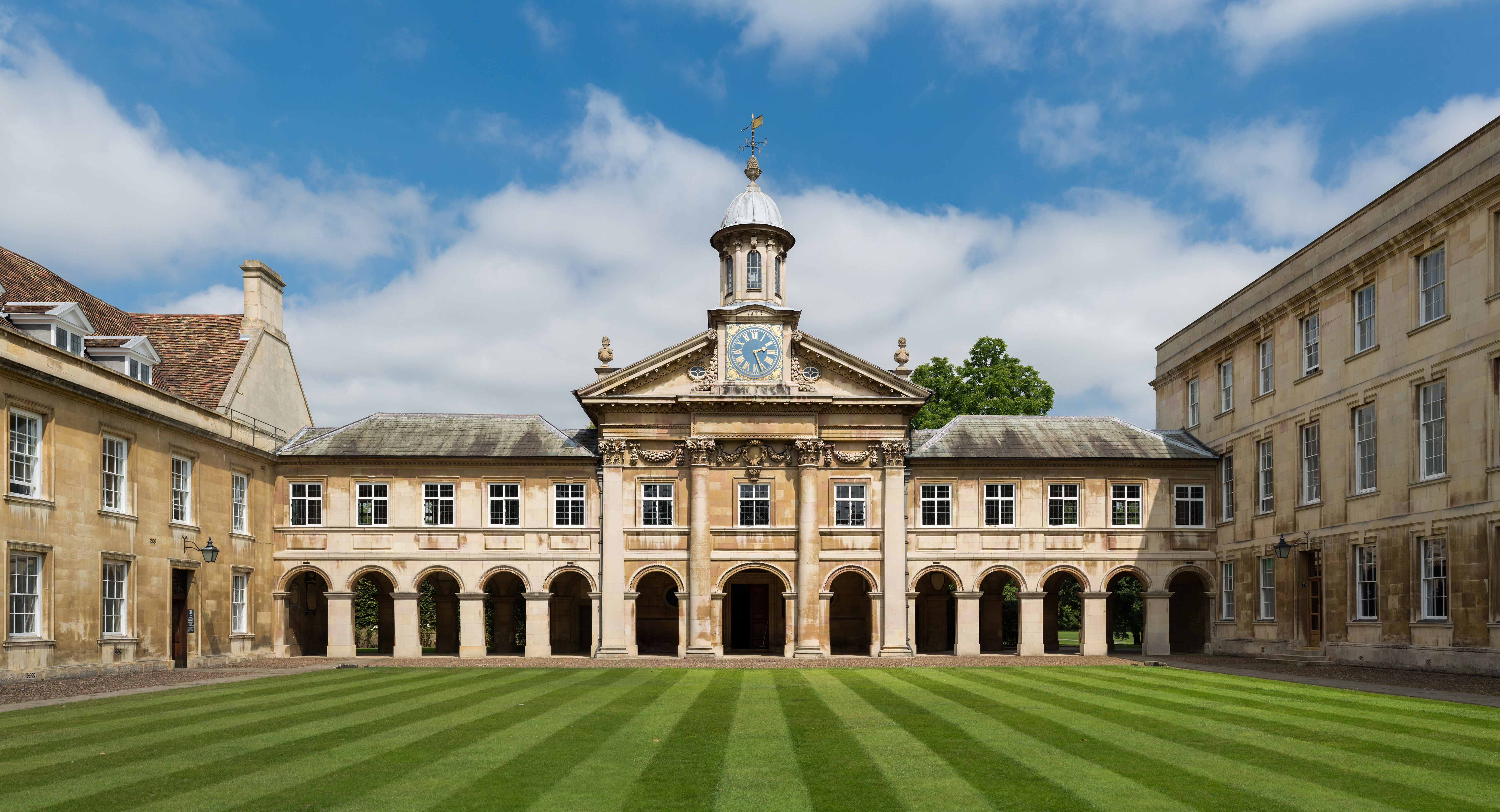
, mottoeng = Literal: From here, light and sacred draughts. Non literal: From this place, we gain enlightenment and precious knowledge. , established = , other_name = The Chancellor, Masters and Scholars of the University of Cambridge , type = Public research university , endowment = £7.121 billion (including colleges) , budget = £2.308 billion (excluding colleges) , chancellor = The Lord Sainsbury of Turville , vice_chancellor = Anthony Freeling , students = 24,450 (2020) , undergrad = 12,850 (2020) , postgrad = 11,600 (2020) , city = Cambridge , country = England , campus_type = , sporting_affiliations = The Sporting Blue , colours = Cambridge Blue , website = , logo = University of Cambridge logo ... [...More Info...] [...Related Items...] OR: [Wikipedia] [Google] [Baidu] |
James Carroll (New Zealand Politician)
Sir James Carroll (Māori: Timi Kara; 20 August 1857 – 18 October 1926), was a New Zealand politician of Irish and Ngāti Kahungunu descent. Beginning his career as an interpreter and land agent, Carroll was elected to the Eastern Maori seat in 1887. He was acting Colonial Secretary (equivalent to the Minister of Internal Affairs) from 1897 to 1899. He was the first Māori to hold the cabinet position of Minister of Native Affairs, which he held between 1899 and 1912. He was held in high regard within the Liberal Party and was acting prime minister in 1909 and 1911. Early life James Carroll was born at Wairoa, one of eight children of Joseph Carroll, born in Sydney of Irish descent, and Tapuke, a Māori woman of the Ngāti Kahungunu tribe (or ''iwi'' in the Maori language). He was educated both at whare wananga (traditional Māori college) and the Wairoa native school but left early to be a farm worker. In 1870, while no more than thirteen, he was part of the Māori force p ... [...More Info...] [...Related Items...] OR: [Wikipedia] [Google] [Baidu] |
Hawke's Bay Region
Hawke's Bay ( mi, Te Matau-a-Māui) is a local government region on the east coast of New Zealand's North Island. The region's name derives from Hawke Bay, which was named by Captain James Cook in honour of Admiral Edward Hawke. The region is governed by Hawke's Bay Regional Council. Geography The region is situated on the east coast of the North Island. It bears the former name of what is now Hawke Bay, a large semi-circular bay that extends for 100 kilometres from northeast to southwest from Māhia Peninsula to Cape Kidnappers. The Hawke's Bay Region includes the hilly coastal land around the northern and central bay, the floodplains of the Wairoa River in the north, the wide fertile Heretaunga Plains around Hastings in the south, and a hilly interior stretching up into the Kaweka and Ruahine Ranges. The prominent peak Taraponui is located inland. Five major rivers flow to the Hawke's Bay coast. From north to south, they are the Wairoa River, Mohaka River, Tutaekuri ... [...More Info...] [...Related Items...] OR: [Wikipedia] [Google] [Baidu] |
George Beetham
George Beetham, F.R.G.S., M.H.R. (1840 – 20 August 1915), known to Māori as Hori Pitama, was a New Zealand politician and alpinist. Beetham was born in 1840 in Horncastle, Lincolnshire, England. His father was the noted portrait painter William Beetham. The Beetham family emigrated to New Zealand in 1855, arriving on the ''William and Jane'' in 1855. Together with his brothers, he settled in the Wairarapa. The brothers built up a farm on land bought by his father, and Brancepeth Station was by 1901 the largest land holding in the Wairarapa, at . As the land had originally been owned by Māori, Beetham engaged with them frequently and they knew him as Hori Pitama. His sister Susannah married Cecil Fitzroy in 1878. Beetham made his first exploration of Mount Ruapehu in March 1878. In 1879, Beetham, accompanied by Joseph Prime Maxwell, a civil engineer of Wellington, made a complete ascent of Mount Ruapehu, and, reaching its summit, crossed the large southern glacier, and ... [...More Info...] [...Related Items...] OR: [Wikipedia] [Google] [Baidu] |
Hawke's Bay Herald
The ''Hawke's Bay Herald-Tribune'' was a New Zealand newspaper which published from 1937 until 1999. Covering the Hawke's Bay region, it was based in Hastings. History The paper was formed in 1937 from the merger of the Napier-based ''Hawke's Bay Herald and Ahuriri Advocate'', which had been published since 1857, and the Hastings-based ''Hawke's Bay Tribune''. The merger was prompted by difficulties the ''Herald'' faced after the 1931 Napier earthquake in which the company building was destroyed resulting in the paper's printing services being undertaken by its Hastings neighbour during the last six years of its existence. The ''Tribune'' was founded in 1896 as ''The Hastings Standard'', and was renamed as ''The Hastings Tribune'' in 1910. Although their building was severely damaged by the 1931 earthquake, they were in a better position to cope than the Napier paper, and took over its printing. [...More Info...] [...Related Items...] OR: [Wikipedia] [Google] [Baidu] |
Lower Hutt
Lower Hutt ( mi, Te Awa Kairangi ki Tai) is a city in the Wellington Region of New Zealand. Administered by the Hutt City Council, it is one of the four cities that constitute the Wellington metropolitan area. It is New Zealand's sixth most populous city, with a population of . The total area administered by the council is around the lower half of the Hutt Valley and along the eastern shores of Wellington Harbour, of which is urban. It is separated from the city of Wellington by the harbour, and from Upper Hutt by the Taita Gorge. Lower Hutt is unique among New Zealand cities, as the name of the council does not match the name of the city it governs. Special legislation has since 1991 given the council the name "Hutt City Council", while the name of the place itself remains "Lower Hutt City". This name has led to confusion, as Upper Hutt is administered by a separate city council, the Upper Hutt City Council. The entire Hutt Valley includes both Lower and Upper Hutt cities. ... [...More Info...] [...Related Items...] OR: [Wikipedia] [Google] [Baidu] |
Hastings, New Zealand
Hastings (; mi, Heretaunga) is an inland city of New Zealand and is one of the two major urban areas in Hawke's Bay, on the east coast of the North Island. The population of Hastings (including Flaxmere) is (as of with a further people in Havelock North and in Clive. Hastings is about 18 kilometres inland of the coastal city of Napier. These two neighbouring cities are often called "The Bay Cities" or "The Twin Cities". The city is the administrative centre of the Hastings District. Since the merger of the surrounding and satellite settlements, Hastings has grown to become one of the largest urban areas in Hawke's Bay. Hastings District is a food production region. The fertile Heretaunga Plains surrounding the city produce stone fruits, pome fruit, kiwifruit and vegetables, and the area is one of New Zealand's major red wine producers. Associated business include food processing, agricultural services, rural finance and freight. Hastings is the major service centre f ... [...More Info...] [...Related Items...] OR: [Wikipedia] [Google] [Baidu] |
The Press
''The Press'' is a daily newspaper published in Christchurch, New Zealand owned by media business Stuff Ltd. First published in 1861, the newspaper is the largest circulating daily in the South Island and publishes Monday to Saturday. One community newspaper—''Northern Outlook''- is also published by ''The Press'' and is free. The newspaper has won the title of New Zealand Newspaper of the Year (in its circulation category) three times: in 2006, 2007 and 2012. It has also won the overall Newspaper of the Year title twice: in 2006 and 2007. History James FitzGerald came to Lyttelton on the ''Charlotte Jane'' in December 1850, and was from January 1851 the first editor of the ''Lyttelton Times'', Canterbury's first newspaper. From 1853, he focussed on politics and withdrew from the ''Lyttelton Times''. After several years in England, he returned to Canterbury concerned about the proposed capital works programme of the provincial government, with his chief concern the pro ... [...More Info...] [...Related Items...] OR: [Wikipedia] [Google] [Baidu] |
Selwyn (New Zealand Electorate)
Selwyn is a current electorate in the New Zealand House of Representatives, composed of towns on the outskirts of Christchurch city. The electorate was first formed for the and has been abolished three times during its history. It was last re-established for the and has been held by Nicola Grigg for the National Party since the . Region and population centres The electorate is mainly rural, stretching from the Southern Alps to the Banks Peninsula, its borders broadly defined by the Rakaia River in the south and the Waimakariri River in the north. Major towns include Rolleston, Lincoln, Prebbleton, and Darfield, with smaller towns such as Tai Tapu, Leeston and Dunsandel. The electorate also includes parts of Christchurch city's territorial authority. History Existence and changes to area An electorate called Selwyn existed between 1866 and 1919. A Selwyn electorate also existed between 1946 and 1972 and again from 1978 until it was absorbed by Rakaia for the first MMP ... [...More Info...] [...Related Items...] OR: [Wikipedia] [Google] [Baidu] |
Provinces Of New Zealand
The provinces of the Colony of New Zealand existed as a form of sub-national government. Initially established in 1846 when New Zealand was a Crown colony without responsible government, two provinces (New Ulster and New Munster) were established. Each province had its own legislative council and Governor. With the passing of the New Zealand Constitution Act 1852 the provinces were recreated around the six planned settlements or "colonies". By 1873 the number of provinces had increased to nine, but they had become less isolated from each other and demands for centralised government arose. In 1875 the New Zealand Parliament decided to abolish the provincial governments, and they came to an end in November 1876. They were superseded by counties, which were later replaced by territorial authorities. Following abolition, the provinces became known as provincial districts. Their principal legacy is the use of some provincial boundaries to determine the geographical boundaries for ... [...More Info...] [...Related Items...] OR: [Wikipedia] [Google] [Baidu] |
Rakaia River
The Rakaia River is in the Canterbury Plains in New Zealand's South Island. The Rakaia River is one of the largest braided rivers in New Zealand. The Rakaia River has a mean flow of and a mean annual seven-day low flow of . In the 1850s, European settlers named it the ''Cholmondeley River'', but this name lapsed into disuse. Description It rises in the Southern Alps, travelling in a generally easterly or southeasterly direction before entering the Pacific Ocean south of Christchurch. It forms a hapua as it reaches the ocean. For much of its journey, the river is braided river, braided, running through a wide shingle bed. Close to Mount Hutt, however, it is briefly confined to a narrow canyon known as the Rakaia Gorge. The Rakaia River is bridged in two places. The busiest crossing is at the small town of Rakaia, from the river mouth, where State Highway 1 (New Zealand), State Highway 1 using Rakaia Bridge and the South Island Main Trunk Railway cross the river using sepa ... [...More Info...] [...Related Items...] OR: [Wikipedia] [Google] [Baidu] |


