|
Cartosat-2D
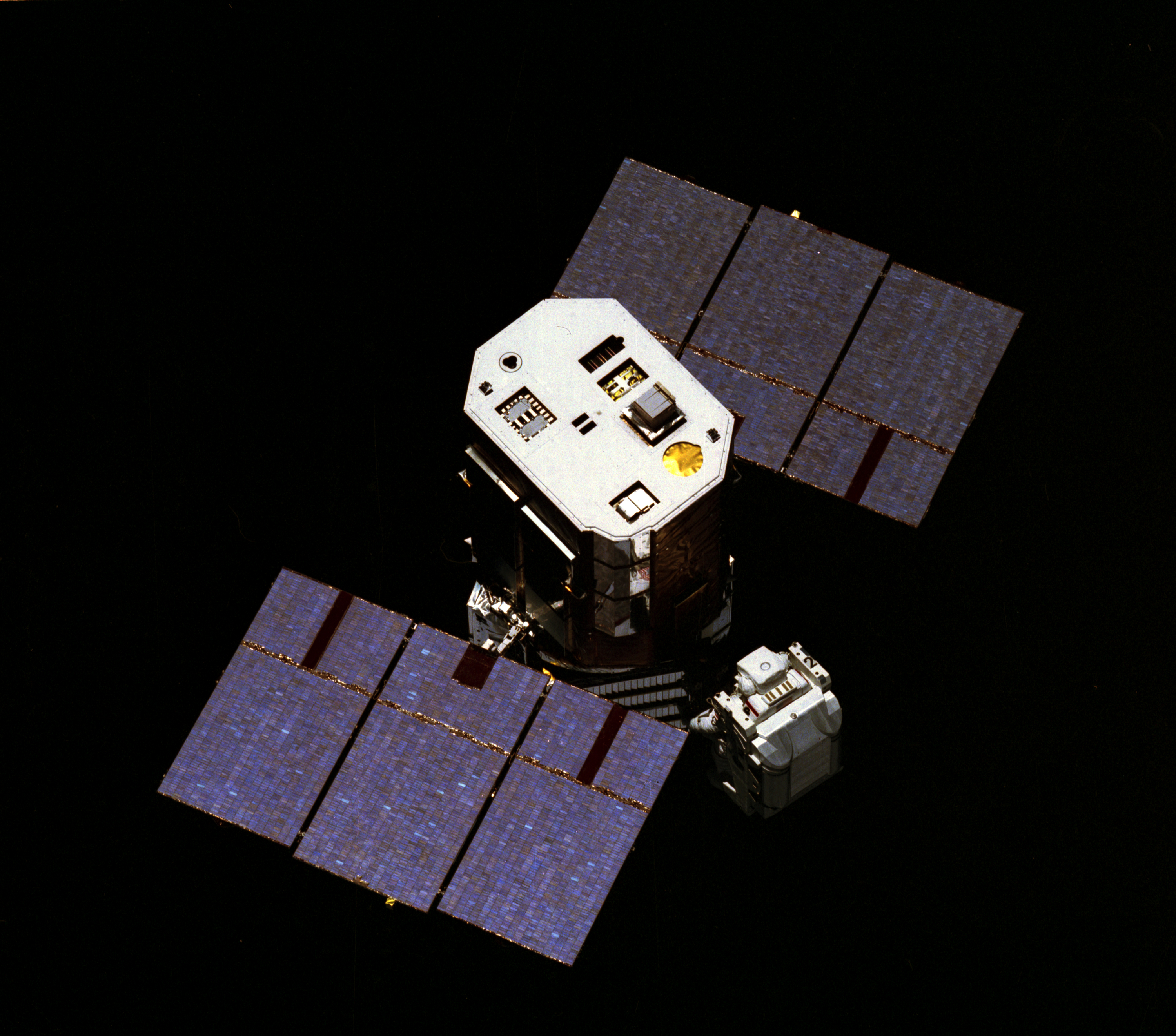
Cartosat-2D is an Earth observation satellite in a Sun-synchronous orbit (SSO) and the fifth of the Cartosat series of satellites. The satellite is built, launched and maintained by the Indian Space Research Organisation (ISRO). Cartosat-2D has a mass of 714 kg. Satellite description The satellite achieves three-axis stabilization through a combination of reaction wheels, magnetorquers and hydrazine-fuelled reaction control thrusters. Power is generated by a pair of solar panels, charging two lithium-ion batteries. The solar panels generate 986 watts of power when in Sun-pointed mode. The satellite is outfitted with an eight-channel GPS receiver for the calculation of instantaneous state vectors and orbital parameters. GPS is also used for GEO-referencing of acquired imaging data. Instruments The CartoSat-2D carries a panchromatic camera (PAN) capable of taking black-and-white pictures in the visible region of electromagnetic spectrum. It also carries a High-Resoluti ... [...More Info...] [...Related Items...] OR: [Wikipedia] [Google] [Baidu] |
PSLV-C37
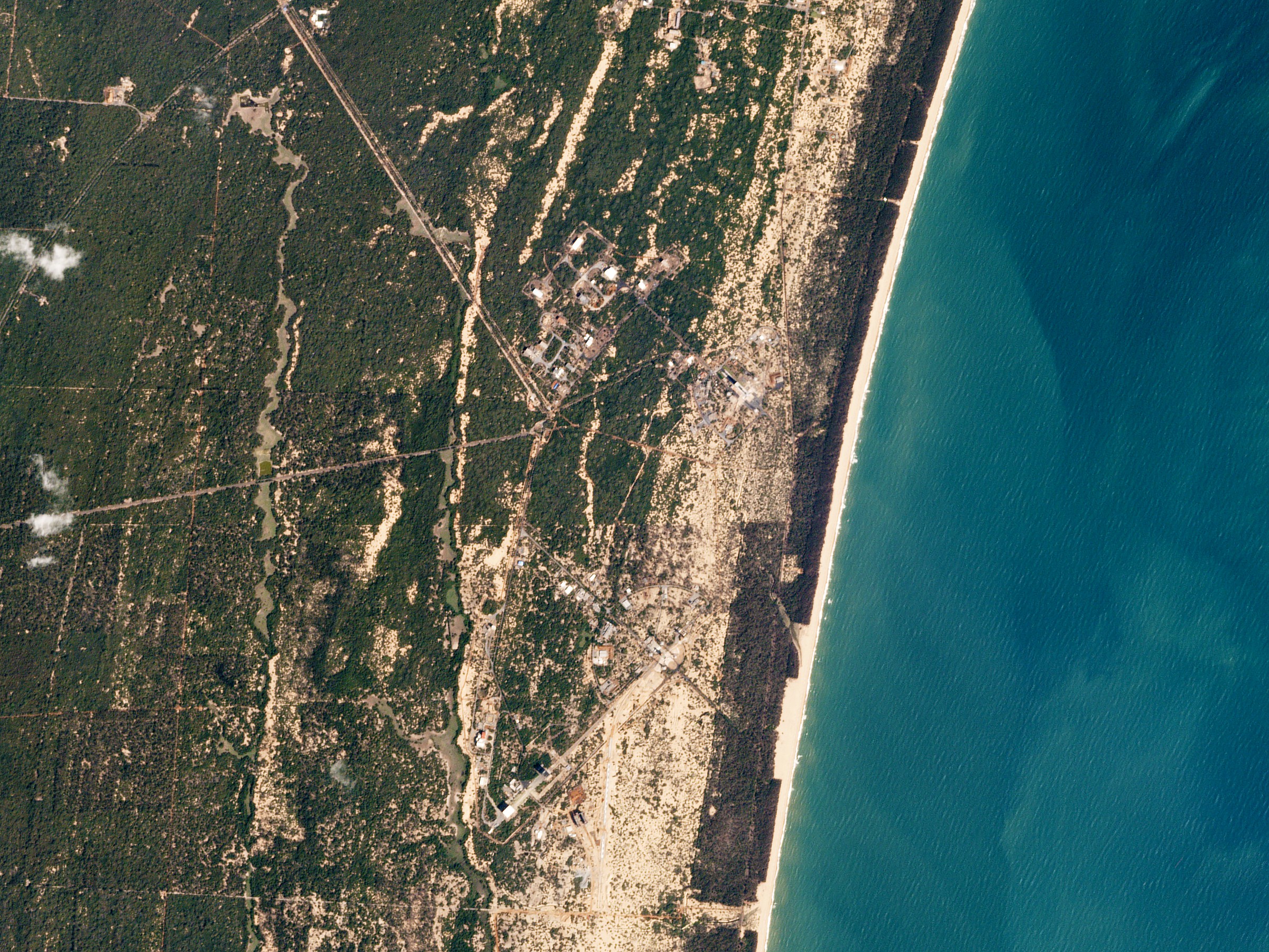
PSLV-C37 was the 39th mission of the Indian Polar Satellite Launch Vehicle (PSLV) program and its 16th mission in the XL configuration. PSLV-C37 successfully carried and deployed a record 104 satellites in sun-synchronous orbits. Launched on 15 February 2017 by the Indian Space Research Organisation (ISRO) from the Satish Dhawan Space Centre at Sriharikota, Andhra Pradesh. According to ISRO, the 101 international satellites were launched as part of a commercial arrangement between several firms and its commercial arm Antrix Corporation Limited, run under the auspices of the Indian Government's Department of Space. Launch PSLV-C37 was launched from the First Launch Pad of Satish Dhawan Space Centre in Sriharikota at 09:28 IST on 15 February 2017. It was the 39th flight of the PSLV and the sixteenth in the XL configuration. It carried a total of 104 satellites including the primary payload Cartosat-2D. The launcher started placing the satellites into polar Sun-synchronous or ... [...More Info...] [...Related Items...] OR: [Wikipedia] [Google] [Baidu] |
Cartosat
The Cartosat is a series of Indian optical earth observation satellites built and operated by the Indian Space Research Organisation (ISRO). The Cartosat series is a part of the Indian Remote Sensing Program. They are used for Earth's resource management, defence services and monitoring. History The Department of Space (DoS) had launched and managed the IRS series of remote sensing satellites for Earth's resource management and monitoring. These satellites were very successful in providing data in various scales ranging from 1:1 Million to 1:12,500 scale. Each of the IRS missions ensured data continuity while introducing improvements in the spatial, spectral and radiometric resolutions. Considering increased demand for large scale and topographic mapping data, the DoS launched the expanded Cartosat series of remote sensing satellites. The first satellite of the series, Cartosat-1, was launched in 2005. Satellites Cartosat-1 Cartosat-1 was launched by PSLV-C6 on 5 May ... [...More Info...] [...Related Items...] OR: [Wikipedia] [Google] [Baidu] |
List Of Indian Satellites
This list covers most artificial satellites built in and operated by the Republic of India. India has been successfully launching satellites of various types from 1975. Apart from Indian rockets, these satellites have been launched from various vehicles, including American, Russian and European rockets sometimes as well. The organisation responsible for India's space program is Indian Space Research Organisation (ISRO) and it shoulders the bulk of the responsibility of designing, building, launching and operating these satellites. Legend This is a list of Indian (wholly or partially owned, wholly or partially designed and/or manufactured) satellites and orbital space crafts, both operated by the Indian government (ISRO, Indian defence forces, other government agencies) or private (educational and research) entities. All satellite launches marked successful have completed at least one full orbital flight (no sub-orbital flights have been included in this list). 1970s Indian ... [...More Info...] [...Related Items...] OR: [Wikipedia] [Google] [Baidu] |
Cartosat-2E
Cartosat-2E is an Earth observation satellite developed by the Indian Space Research Organisation (ISRO), and is the seventh in the Cartosat series. It is designed to collect high-resolution, large-scale imagery for use in urban planning, infrastructure development, utilities planning, and traffic management. Instruments Cartosat-2E carries three primary instruments: the Panchromatic Camera (PAN), the High-Resolution Multi-Spectral radiometer (HRMX), and the Event Monitoring camera (EvM). * Panchromatic camera (PAN) is capable of taking panchromatic (black and white) photographs in a selected portion of the visible and near-infrared spectrum (0.50–0.85 µm) at a resolution of . * High-Resolution Multi-Spectral (HRMX) radiometer is a four-channel radiometer sensitive across the entire visible spectrum and part of the near-infrared spectrum (0.43–0.90 µm) at a resolution of . * Event Monitoring camera (EvM) is also capable of capturing minute long video of a fixe ... [...More Info...] [...Related Items...] OR: [Wikipedia] [Google] [Baidu] |
Resourcesat-2A
Resourcesat-2A is a follow on mission to Resourcesat-1 and Resourcesat-2 which were launched in October 2003 and in April 2011 respectively. The new satellite provides the same services as the other Resourcesat missions. It will give regular micro and macro information on land and water bodies below, farm lands and crop extent, forests, mineral deposits, coastal information, rural and urban spreads besides helping in disaster management. Instruments The satellite contains three instruments on board: * Advanced Wide-Field Sensor (AWiFS) - it operates in three spectral bands in VNIR and one band in SWIR. It provides images with 56 meter spatial resolution that would be useful at the State level. * Linear Imaging Self-Scanning Sensor-3 (LISS-3) - it operates in three-spectral bands, two in VNIR and one in Short Wave Infrared (SWIR) bandwidth. With 23.5 meter spatial resolution it can provide images at the district level. It has a swath of 740 km and revisit period of 5 da ... [...More Info...] [...Related Items...] OR: [Wikipedia] [Google] [Baidu] |
Earth Observation Satellite
An Earth observation satellite or Earth remote sensing satellite is a satellite used or designed for Earth observation (EO) from orbit, including spy satellites and similar ones intended for non-military uses such as environmental monitoring, meteorology, cartography and others. The most common type are Earth imaging satellites, that take satellite images, analogous to aerial photographs; some EO satellites may perform remote sensing without forming pictures, such as in GNSS radio occultation. The first occurrence of satellite remote sensing can be dated to the launch of the first artificial satellite, Sputnik 1, by the Soviet Union on October 4, 1957. Sputnik 1 sent back radio signals, which scientists used to study the ionosphere. The United States Army Ballistic Missile Agency launched the first American satellite, Explorer 1, for NASA’s Jet Propulsion Laboratory on January 31, 1958. The information sent back from its radiation detector led to the discovery of the ... [...More Info...] [...Related Items...] OR: [Wikipedia] [Google] [Baidu] |
Panchromatic Film
Panchromatic emulsion is a type of black-and-white photographic emulsion that is sensitive to all wavelengths of visible light. Description A panchromatic emulsion renders a realistic reproduction of a scene as it appears to the human eye, although with no colors. Almost all modern photographic film is panchromatic. Some older types of film were orthochromatic and were not sensitive to certain wavelengths of light. As naturally prepared, a silver halide photographic emulsion is much more sensitive to blue and UV light than to green and red wavelengths. The German chemist Hermann W. Vogel found out how to extend the sensitivity into the green, and later the orange, by adding sensitising dyes to the emulsion. By the addition of erythrosine the emulsion could be made orthochromatic while some cyanine derivatives confer sensitivity to the whole visible spectrum making it panchromatic. However, his technique was not extended to achieve a fully panchromatic film until the early 1900 ... [...More Info...] [...Related Items...] OR: [Wikipedia] [Google] [Baidu] |
Satellite Navigation Device
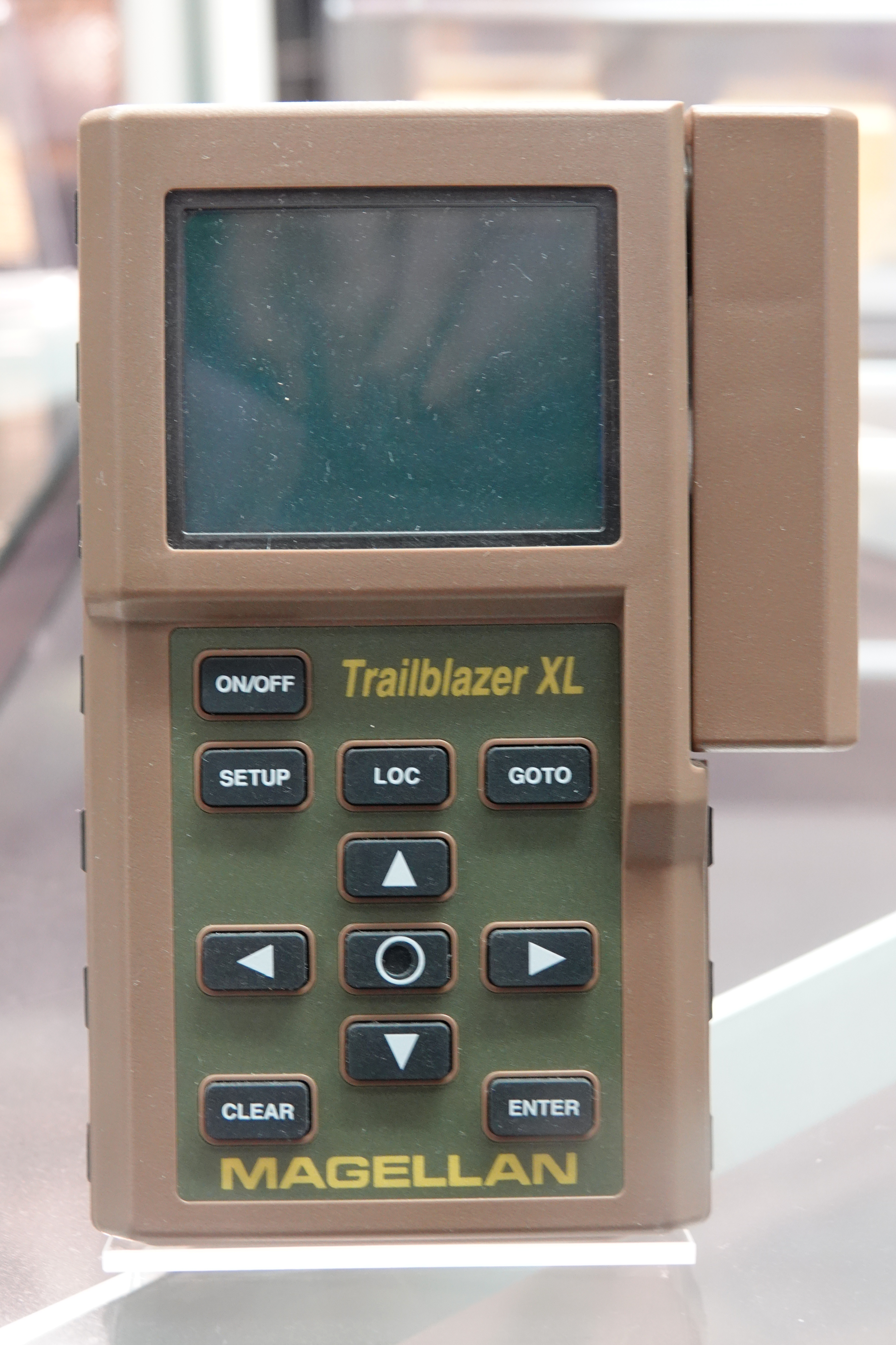
A satellite navigation device (satnav device) is a user equipment that uses one or more of several global navigation satellite systems (GNSS) to calculate the device's geographical position and provide navigational advice. Depending on the software used, the satnav device may display the position on a map, as geographic coordinates, or may offer routing directions. As of September 2020, there were four operational GNSS systems, the original United States' Global Positioning System (GPS), the European Union's Galileo, Russia's GLONASS, and China's BeiDou Navigation Satellite System. The Indian Regional Navigation Satellite System (IRNSS) will follow and Japan's Quasi-Zenith Satellite System (QZSS) scheduled for 2023 will augment the accuracy of a number of GNSS. A satellite navigation device can retrieve location and time information from one or more GNSS systems in all weather conditions, anywhere on or near the Earth's surface. Satnav reception requires an unobstructed l ... [...More Info...] [...Related Items...] OR: [Wikipedia] [Google] [Baidu] |
Global Positioning System
The Global Positioning System (GPS), originally Navstar GPS, is a satellite-based radionavigation system owned by the United States government and operated by the United States Space Force. It is one of the global navigation satellite systems (GNSS) that provides geolocation and time information to a GPS receiver anywhere on or near the Earth where there is an unobstructed line of sight to four or more GPS satellites. It does not require the user to transmit any data, and operates independently of any telephonic or Internet reception, though these technologies can enhance the usefulness of the GPS positioning information. It provides critical positioning capabilities to military, civil, and commercial users around the world. Although the United States government created, controls and maintains the GPS system, it is freely accessible to anyone with a GPS receiver. The GPS project was started by the U.S. Department of Defense in 1973. The first prototype spacecraft wa ... [...More Info...] [...Related Items...] OR: [Wikipedia] [Google] [Baidu] |
Electromagnetic Spectrum
The electromagnetic spectrum is the range of frequencies (the spectrum) of electromagnetic radiation and their respective wavelengths and photon energies. The electromagnetic spectrum covers electromagnetic waves with frequencies ranging from below one hertz to above 1025 hertz, corresponding to wavelengths from thousands of kilometers down to a fraction of the size of an atomic nucleus. This frequency range is divided into separate bands, and the electromagnetic waves within each frequency band are called by different names; beginning at the low frequency (long wavelength) end of the spectrum these are: radio waves, microwaves, infrared, visible light, ultraviolet, X-rays, and gamma rays at the high-frequency (short wavelength) end. The electromagnetic waves in each of these bands have different characteristics, such as how they are produced, how they interact with matter, and their practical applications. There is no known limit for long and short wavelengths. Extreme ... [...More Info...] [...Related Items...] OR: [Wikipedia] [Google] [Baidu] |
Black-and-white
Black-and-white (B&W or B/W) images combine black and white in a continuous spectrum, producing a range of shades of grey. Media The history of various visual media began with black and white, and as technology improved, altered to color. However, there are exceptions to this rule, including black-and-white fine art photography, as well as many film motion pictures and art film(s). Photography Contemporary use Since the late 1960s, few mainstream films have been shot in black-and-white. The reasons are frequently commercial, as it is difficult to sell a film for television broadcasting if the film is not in color. 1961 was the last year in which the majority of Hollywood films were released in black and white. Computing In computing terminology, ''black-and-white'' is sometimes used to refer to a binary image consisting solely of pure black pixels and pure white ones; what would normally be called a black-and-white image, that is, an image containing shades of ... [...More Info...] [...Related Items...] OR: [Wikipedia] [Google] [Baidu] |
Solar Panels On Spacecraft
Spacecraft operating in the inner Solar System usually rely on the use of power electronics-managed photovoltaic solar panels to derive electricity from sunlight. Outside the orbit of Jupiter, solar radiation is too weak to produce sufficient power within current solar technology and spacecraft mass limitations, so radioisotope thermoelectric generators (RTGs) are instead used as a power source.NASA JPL Publication: Basics of Space Flight, Chapter 11. Typical Onboard Systems, Electrical Power Supply and Distribution Subsystems, History The first practical silicon-based solar cells were introduced by Bell Labs in April 1954. They were initially about 6% efficient, but improvements began to raise this number almost immediately. Bell had been interested in the idea as a system to provide power at remote telephone repeater stations, but the cost of the devices was far too high to be practical in this role. Aside from small experimental kits and uses, the cells remained largely ... [...More Info...] [...Related Items...] OR: [Wikipedia] [Google] [Baidu] |


