|
Cape Brooks
Cape Brooks () is a cape marked by steep, conspicuous walls which rise to , forming the south side of the entrance to New Bedford Inlet, on the east coast of Palmer Land. It was discovered and photographed from the air in December 1940 by members of the US Antarctic Service, and again photographed from the air in 1947 by members of the Ronne Antarctic Research Expedition, who in conjunction with the Falkland Islands Dependencies Survey (FIDS) also charted it from the ground. Cape Brooks was named by the FIDS for Charles E.P. Brooks, an English meteorologist on the staff of the Meteorological Office The Meteorological Office, abbreviated as the Met Office, is the United Kingdom's national weather service. It is an executive agency and trading fund of the Department for Business, Energy and Industrial Strategy and is led by CEO Penelope ..., from 1907 to 1949. References * Headlands of Palmer Land {{PalmerLand-geo-stub ... [...More Info...] [...Related Items...] OR: [Wikipedia] [Google] [Baidu] |
New Bedford Inlet
New Bedford Inlet () is a large pouch-shaped, ice-filled embayment between Cape Kidson and Cape Brooks, along the east coast of Palmer Land. Discovered and photographed from the air in December 1940 by members of the United States Antarctic Service (USAS), and named after New Bedford, Massachusetts, the centre of the New England whaling industry in the middle of the 19th century. Simpson Head is a conspicuous promontory rising to , projecting south into the north side of New Bedford Inlet. It is northwest of Cape Kidson. It was discovered by USAS at the same time as the main inlet. During 1947 it was photographed from the air by members of the Ronne Antarctic Research Expedition (RARE), who in conjunction with the Falkland Islands Dependencies Survey The British Antarctic Survey (BAS) is the United Kingdom's national polar research institute. It has a dual purpose, to conduct polar science, enabling better understanding of global issues, and to provide an active presence in th ... [...More Info...] [...Related Items...] OR: [Wikipedia] [Google] [Baidu] |
Palmer Land
Palmer Land () is the portion of the Antarctic Peninsula, Antarctica that lies south of a line joining Cape Jeremy and Cape Agassiz. This application of Palmer Land is consistent with the 1964 agreement between the Advisory Committee on Antarctic Names and the UK Antarctic Place-Names Committee, in which the name Antarctic Peninsula was approved for the major peninsula of Antarctica, and the names Graham Land and Palmer Land for the northern and southern portions, respectively. The line dividing them is roughly 69° S. Boundaries In its southern extreme, the Antarctic Peninsula stretches west, with Palmer Land eventually bordering Ellsworth Land along the 80° W line of longitude. Palmer Land is bounded in the south by the ice-covered Carlson Inlet, an arm of the Filchner-Ronne Ice Shelf, which crosses the 80° W line. This is the base of Cetus Hill. This feature is named after Nathaniel Palmer, an American sealer who explored the Antarctic Peninsula area southward of Decepti ... [...More Info...] [...Related Items...] OR: [Wikipedia] [Google] [Baidu] |
US Antarctic Service
The United States Antarctic Program (or USAP; formerly known as the United States Antarctic Research Program or USARP and the United States Antarctic Service or USAS) is an organization of the United States government which has presence in the Antarctica continent. Founded in 1959, the USAP manages all U.S. scientific research and related logistics in Antarctica as well as aboard ships in the Southern Ocean. United States Antarctic Program The United States established the U.S. Antarctic Research Program (USARP) in 1959—the name was later changed to the U.S. Antarctic Program—immediately following the success of the International Geophysical Year (IGY). Today, the National Science Foundation (NSF) has a Presidential Mandate to manage the United States Antarctic Program, through which it operates three year-round research stations and two research vessels, coordinates all U.S. science on the southernmost continent, and works with other federal agencies, the U.S. military, an ... [...More Info...] [...Related Items...] OR: [Wikipedia] [Google] [Baidu] |
Ronne Antarctic Research Expedition
The Ronne Antarctic Research Expedition (RARE) was an expedition from 1947–1948 which researched the area surrounding the head of the Weddell Sea in Antarctica. Background Finn Ronne led the RARE which was the final privately sponsored expedition from the United States and explored and mapped the last unknown coastline on earth and determined that the Weddell Sea and the Ross Sea were not connected. The expedition included Isaac Schlossbach, as second in command, who was to have Cape Schlossbach named after him. The expedition, based out of Stonington Island was the first to take women to over-winter. Ronne's wife, Edith Ronne was correspondent for the North American Newspaper Alliance for expedition and the chief pilot Darlington took his wife. Partial Listing of Discoveries * Mount Abrams - Named for Talbert Abrams, noted photogrammetric engineer * Mount Becker - Named for Ralph A. Becker, legal counsel who assisted in the formation of RARE * Mount Brundage ... [...More Info...] [...Related Items...] OR: [Wikipedia] [Google] [Baidu] |
Falkland Islands Dependencies Survey
The British Antarctic Survey (BAS) is the United Kingdom's national polar research institute. It has a dual purpose, to conduct polar science, enabling better understanding of global issues, and to provide an active presence in the Antarctic on behalf of the UK. It is part of the Natural Environment Research Council (NERC). With over 400 staff, BAS takes an active role in Antarctic affairs, operating five research stations, one ship and five aircraft in both polar regions, as well as addressing key global and regional issues. This involves joint research projects with over 40 UK universities and more than 120 national and international collaborations. Having taken shape from activities during World War II, it was known as the Falkland Islands Dependencies Survey until 1962. History Operation Tabarin was a small British expedition in 1943 to establish permanently occupied bases in the Antarctic. It was a joint undertaking by the British Admiralty, Admiralty and the Secretary of ... [...More Info...] [...Related Items...] OR: [Wikipedia] [Google] [Baidu] |
Charles E
Charles is a masculine given name predominantly found in English and French speaking countries. It is from the French form ''Charles'' of the Proto-Germanic name (in runic alphabet) or ''*karilaz'' (in Latin alphabet), whose meaning was "free man". The Old English descendant of this word was '' Ċearl'' or ''Ċeorl'', as the name of King Cearl of Mercia, that disappeared after the Norman conquest of England. The name was notably borne by Charlemagne (Charles the Great), and was at the time Latinized as ''Karolus'' (as in '' Vita Karoli Magni''), later also as '' Carolus''. Some Germanic languages, for example Dutch and German, have retained the word in two separate senses. In the particular case of Dutch, ''Karel'' refers to the given name, whereas the noun ''kerel'' means "a bloke, fellow, man". Etymology The name's etymology is a Common Germanic noun ''*karilaz'' meaning "free man", which survives in English as churl (< Old English ''ċeorl''), which developed its ... [...More Info...] [...Related Items...] OR: [Wikipedia] [Google] [Baidu] |
Meteorologist
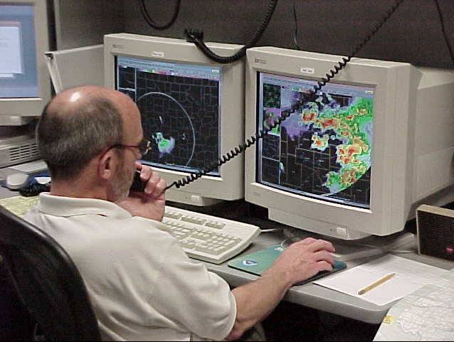
A meteorologist is a scientist who studies and works in the field of meteorology aiming to understand or predict Earth's atmospheric phenomena including the weather. Those who study meteorological phenomena are meteorologists in research, while those using mathematical models and knowledge to prepare daily weather forecasts are called ''weather forecasters'' or ''operational meteorologists''. Meteorologists work in government agencies, private consulting and research services, industrial enterprises, utilities, radio and television stations, and in education. They are not to be confused with weather presenters, who present the weather forecast in the media and range in training from journalists having just minimal training in meteorology to full fledged meteorologists. Description Meteorologists study the Earth's atmosphere and its interactions with the Earth's surface, the oceans and the biosphere. Their knowledge of applied mathematics and physics allows them to understand t ... [...More Info...] [...Related Items...] OR: [Wikipedia] [Google] [Baidu] |
Meteorological Office
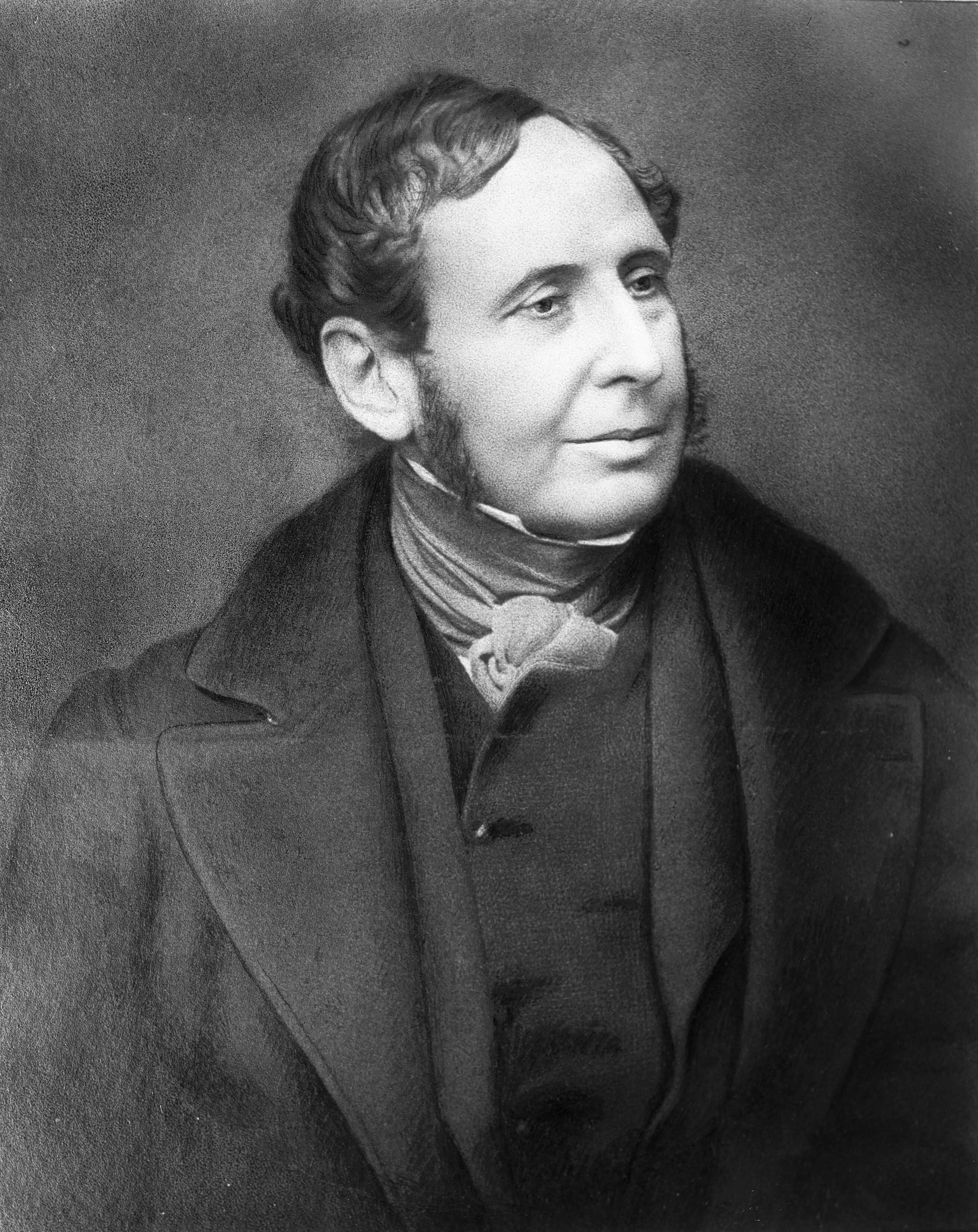
The Meteorological Office, abbreviated as the Met Office, is the United Kingdom's national weather service. It is an executive agency and trading fund of the Department for Business, Energy and Industrial Strategy and is led by CEO Penelope Endersby, who took on the role as Chief Executive in December 2018 and is the first woman to do so. The Met Office makes meteorological predictions across all timescales from weather forecasts to climate change. History The Met Office was established on 1 August 1854 as a small department within the Board of Trade under Vice Admiral Robert FitzRoy as a service to mariners. The loss of the passenger vessel, the ''Royal Charter'', and 459 lives off the coast of Anglesey in a violent storm in October 1859 led to the first gale warning service. FitzRoy established a network of 15 coastal stations from which visual gale warnings could be provided for ships at sea. The new electric telegraph enabled rapid dissemination of warnings and als ... [...More Info...] [...Related Items...] OR: [Wikipedia] [Google] [Baidu] |
.jpg)

