|
Canton Of Arles-sur-Tech
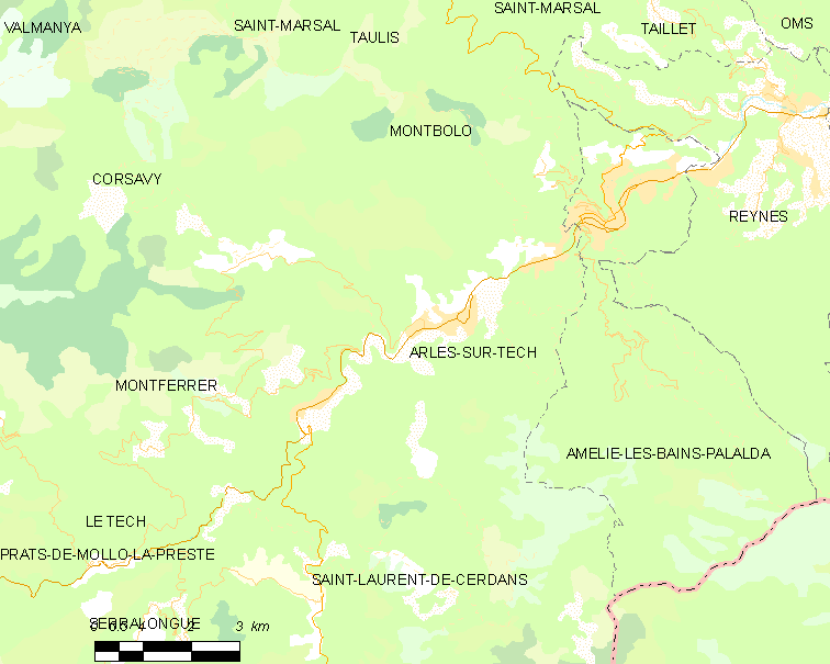
The Canton of Arles-sur-Tech is a French former canton of Pyrénées-Orientales department, in Languedoc-Roussillon. Ministère de l'Intérieur It had 7,197 inhabitants (2012).Populations légales 2012: 66 Pyrénées-Orientales INSEE It was disbanded following the Fre ... [...More Info...] [...Related Items...] OR: [Wikipedia] [Google] [Baidu] |
Cantons Of France
The cantons of France are territorial subdivisions of the France, French Republic's Departments of France, departments and Arrondissements of France, arrondissements. Apart from their role as organizational units in relation to certain aspects of the administration of public services and justice, the chief purpose of the cantons today is to serve as Constituency, constituencies for the election of members of the representative assemblies established in each of France's territorial departments (Departmental council (France), departmental councils, formerly general councils). For this reason, such elections were known in France as "cantonal elections", until 2015 when their name was changed to "departmental elections" to match the departmental councils' name. As of 2015, there were 2,054 cantons in France. Most of them group together a number of Communes of France, communes (the lowest administrative division of the French Republic), although larger communes may be included in mo ... [...More Info...] [...Related Items...] OR: [Wikipedia] [Google] [Baidu] |
Pyrénées-Orientales
Pyrénées-Orientales (; ca, Pirineus Orientals ; oc, Pirenèus Orientals ; ), also known as Northern Catalonia, is a department of the region of Occitania, Southern France, adjacent to the northern Spanish frontier and the Mediterranean Sea. It also surrounds the tiny Spanish exclave of Llívia, and thus has two distinct borders with Spain. In 2019, it had a population of 479,979.Populations légales 2019: 66 Pyrénées-Orientales INSEE Some parts of the Pyrénées-Orientales (like the ) are part of the . It is na ... [...More Info...] [...Related Items...] OR: [Wikipedia] [Google] [Baidu] |
Languedoc-Roussillon
Languedoc-Roussillon (; oc, Lengadòc-Rosselhon ; ca, Llenguadoc-Rosselló) is a former administrative region of France. On 1 January 2016, it joined with the region of Midi-Pyrénées to become Occitania. It comprised five departments, and bordered the other French regions of Provence-Alpes-Côte d'Azur, Rhône-Alpes, Auvergne, Midi-Pyrénées towards the north, and Spain, Andorra and the Mediterranean Sea towards the south. It was the southernmost region of mainland France. Toponymy The first part of the name of the province of Languedoc-Roussillon comes from the French ("language of "), and is also a historical region. In southern France, the word for ''yes'' was the Occitan language word . Prior to the 16th century, the central area of France was referred to as , there the word for ''yes'' was in Old French, later becoming . These old place names referred to the areas where Occitan and Old French were spoken. The Edict of Villers-Cotterets made French the official nat ... [...More Info...] [...Related Items...] OR: [Wikipedia] [Google] [Baidu] |
Institut National De La Statistique Et Des études économiques
The National Institute of Statistics and Economic Studies (french: link=no, Institut national de la statistique et des études économiques), abbreviated INSEE or Insee ( , ), is the national statistics bureau of France. It collects and publishes information about the French economy and people and carries out the periodic national census. Headquartered in Montrouge, a commune in the southern Parisian suburbs, it is the French branch of Eurostat. The INSEE was created in 1946 as a successor to the Vichy regime's National Statistics Service (SNS). It works in close cooperation with the Institut national d'études démographiques (INED). Purpose The INSEE is responsible for the production and analysis of official statistics in France. Its best known responsibilities include: * Organising and publishing the national census. * Producing various indices – which are widely recognised as being of excellent quality – including an inflation index used for determining the rates o ... [...More Info...] [...Related Items...] OR: [Wikipedia] [Google] [Baidu] |
Communes Of France
The () is a level of administrative division in the French Republic. French are analogous to civil townships and incorporated municipalities in the United States and Canada, ' in Germany, ' in Italy, or ' in Spain. The United Kingdom's equivalent are civil parishes, although some areas, particularly urban areas, are unparished. are based on historical geographic communities or villages and are vested with significant powers to manage the populations and land of the geographic area covered. The are the fourth-level administrative divisions of France. vary widely in size and area, from large sprawling cities with millions of inhabitants like Paris, to small hamlets with only a handful of inhabitants. typically are based on pre-existing villages and facilitate local governance. All have names, but not all named geographic areas or groups of people residing together are ( or ), the difference residing in the lack of administrative powers. Except for the municipal arrondi ... [...More Info...] [...Related Items...] OR: [Wikipedia] [Google] [Baidu] |
Arles-sur-Tech
Arles-sur-Tech (, literally ''Arles on Tech''; ca, Arles de Tec) is a commune in the Pyrénées-Orientales department in southern France. Geography Location Arles-sur-Tech is located in the canton of Le Canigou and in the arrondissement of Céret. Arles-sur-Tech is situated in the southernmost valley in mainland France before Spain, the Vallespir, through which the long river "Tech" flows. This small town is surrounded by the eastern Pyrenees which dominate the skyline around Arles-sur-Tech. The town sits on the only main road which passes through the valley, the D 115, making it accessible from Spain in the west and the plane of Roussillon and Perpignan in the east. It is located close to the larger and more well-known spa town of Amélie-les-Bains-Palalda. History At the end of the Spanish Civil War Arles-sur-Tech was the site of a camp housing Republican escapees from Spain. It was used as an initial sorting camp. Government and politics Mayors International ... [...More Info...] [...Related Items...] OR: [Wikipedia] [Google] [Baidu] |
Amélie-les-Bains-Palalda
Amélie-les-Bains-Palalda (; ca, Els Banys i Palaldà) is a commune in the Pyrénées-Orientales department in southern France. Prior to 1942, it was known as Amélie-les-Bains. It is situated in the Tech valley, and combines the old and the new with a mix of narrow cobbled streets and modern accommodation. It has become a 'station verte' meaning that it must strive at all times to ensure that tourists benefit from a calm and natural environment. Geography Location Amélie-les-Bains-Palalda is located in the canton of Le Canigou and in the arrondissement of Céret. It sits at the confluence of the Mondony with the Tech, SSW of Perpignan by road. The town is situated at a height of and has both a winter and summer season. Climate In the winter season the average temperature is about 10 degrees Celsius, and in the summer it is roughly 29 degrees Celsius. Thunderstorms are not infrequent in the area, and the telltale signs are small showers throughout the day. Springs ... [...More Info...] [...Related Items...] OR: [Wikipedia] [Google] [Baidu] |
Montferrer
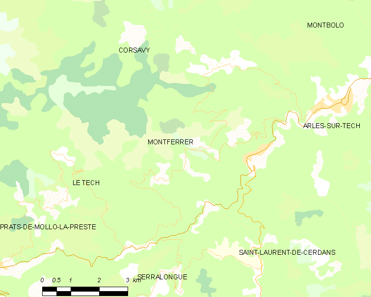
Montferrer () is a commune in the Pyrénées-Orientales department in southern France. Geography Montferrer is located in the canton of Le Canigou and in the arrondissement of Céret. Population See also *Communes of the Pyrénées-Orientales department The Pyrénées-Orientales department is composed of 226 communes. Most of the territory (except for the district of Fenolheda) formed part of the Principality of Catalonia until 1659, and Catalan is still spoken (in addition to French) by a ... References Communes of Pyrénées-Orientales {{PyrénéesOrientales-geo-stub ... [...More Info...] [...Related Items...] OR: [Wikipedia] [Google] [Baidu] |
Corsavy
Corsavy (; ca, Cortsaví) is a commune in the Pyrénées-Orientales department in southern France. It is part of the historical Vallespir comarca. Geography Localisation Corsavy is located in the canton of Le Canigou and in the arrondissement of Céret. Population See also *Communes of the Pyrénées-Orientales department The Pyrénées-Orientales department is composed of 226 communes. Most of the territory (except for the district of Fenolheda) formed part of the Principality of Catalonia until 1659, and Catalan is still spoken (in addition to French) by a si ... References Communes of Pyrénées-Orientales {{PyrénéesOrientales-geo-stub ... [...More Info...] [...Related Items...] OR: [Wikipedia] [Google] [Baidu] |
Montbolo
Montbolo (; ca, Montboló) is a commune in the Pyrénées-Orientales department in southern France. Geography Localization Montbolo is located in the canton of Le Canigou and in the arrondissement of Céret. Geology Montbolo once had gypsum mines, used for making plaster, and also lutite and dolomite. A landslide in a gypsum stone-pit in Montbolo occurred on 20 March 1886 and killed three workers. Population Sites of interest The Saint-Andrew church of Montbolo was first built in the 12th century and then modified in the 13th, 14th and 17th centuries. At the end of the 19th century, works started for a full repair of the church, but the new roof was entirely destroyed following a storm in January 1900. Other repairs have been made more recently, such as the rebuild of the portal, which destroyed some of the older elements. Montbolo has two dolmens: the Caixa de Rotllan, on the city limit with Arles-sur-Tech and the dolmen de Formentera. File:Montbolo Egli ... [...More Info...] [...Related Items...] OR: [Wikipedia] [Google] [Baidu] |
Saint-Marsal
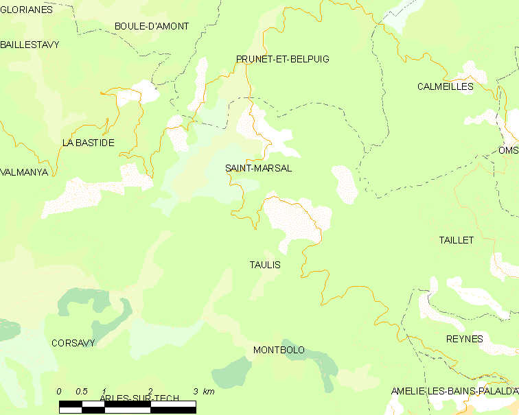
Saint-Marsal (; ca, Sant Marçal) is a commune in the Pyrénées-Orientales department in southern France. Geography Saint-Marsal is located in the canton of Le Canigou and in the arrondissement of Céret. Population See also *Communes of the Pyrénées-Orientales department The Pyrénées-Orientales department is composed of 226 communes. Most of the territory (except for the district of Fenolheda) formed part of the Principality of Catalonia until 1659, and Catalan is still spoken (in addition to French) by a ... References Communes of Pyrénées-Orientales {{PyrénéesOrientales-geo-stub ... [...More Info...] [...Related Items...] OR: [Wikipedia] [Google] [Baidu] |


