|
Canterbury Plains
The Canterbury Plains () are an area in New Zealand centred in the Mid Canterbury, to the south of the city of Christchurch in the Canterbury region. Their northern extremes are at the foot of the Hundalee Hills in the Hurunui District, and in the south they merge into the plains of North Otago beyond the Waitaki River. The smaller Amuri Plain forms a northern extension of the plains. Geology The Canterbury Plains were formed from Quaternary moraine gravels transported from the Southern Alps and deposited here during glacial periods in the late Pleistocene approximately 3 million to 10,000 years ago. The alluvial gravels were then reworked as shingle fans of several of the larger rivers, notably the Waimakariri, the Rakaia, the Selwyn / Waikirikiri, and the Rangitata. Part of the Canterbury-Otago tussock grasslands, the land is suitable for moderately intensive livestock farming but is prone to droughts, especially when the prevailing wind is from the northwest. At these ... [...More Info...] [...Related Items...] OR: [Wikipedia] [Google] [Baidu] |
Rangitata River
The Rangitata River is one of the braided rivers that helped form the Canterbury Plains in southern New Zealand. It flows southeast for from the Southern Alps, entering the Pacific Ocean northeast of Timaru. The river has a catchment area of , and a mean annual flow of at Klondyke. The Māori name "Rangitata" (Rakitata) has been variously translated as "day of lowering clouds", "close sky", and "the side of the sky". The river formed the Rangitata Valley, in the center of the Southern Alps, and the on-location photography of the Edoras set from '' The Lord of the Rings: The Two Towers'', and ''The Return of the King'' was filmed in this valley, on and around Mount Sunday. Several remote sheep stations are located near Mount Sunday. These include Mesopotamia, Mt Potts, and Erewhon. Erewhon was named by Samuel Butler who was the first white settler to live at the Mesopotamia sheep station. Erewhon is also the name of a novel written by Butler anonymously in 1872. In 1932 an out ... [...More Info...] [...Related Items...] OR: [Wikipedia] [Google] [Baidu] |
Rakaia
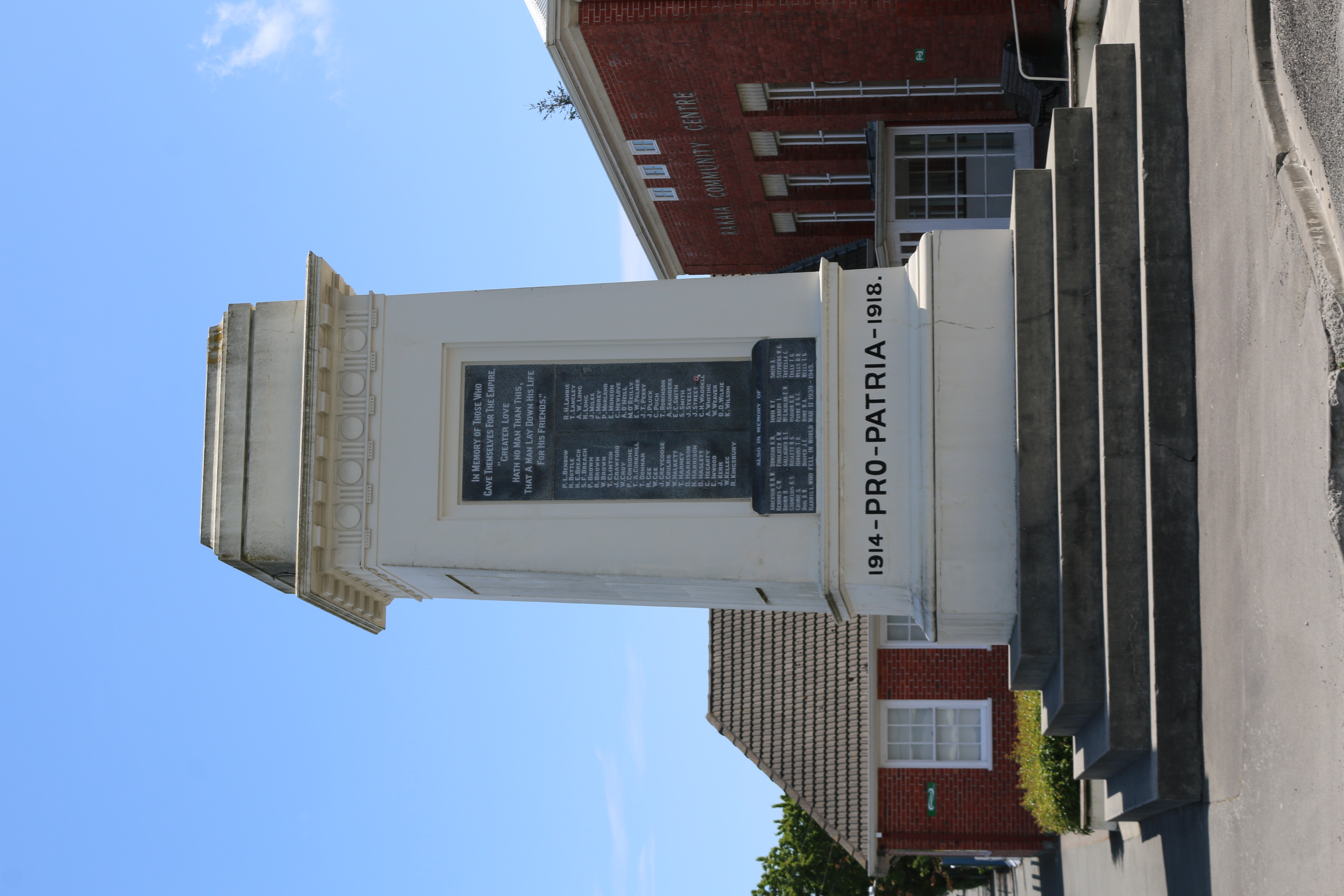
Rakaia is a town seated close to the southern banks of the Rakaia River on the Canterbury Plains in New Zealand's South Island, approximately 57 km south of Christchurch on State Highway 1 and the Main South Line. Immediately north of the township are New Zealand's longest road bridge and longest rail bridge, both of which cross the wide shingle beds of the braided river at this point. Both bridges are approximately 1750 metres in length. Rakaia was also the junction of the Methven Branch, a branch line railway to Methven that operated from 1880 until its closure in 1976. An accident at the railway station in 1899 killed four people. Rakaia's most obvious feature is a large fibreglass salmon. The river from which the town takes its name is known for its salmon fishing and jetboating. The town and river were previously known as ''Cholmondeley'', but the Maori name would eventually prevail over the English one. The rural community of Acton is located south of the ... [...More Info...] [...Related Items...] OR: [Wikipedia] [Google] [Baidu] |
Dunsandel
Dunsandel is a small rural town in the Canterbury region of the South Island, New Zealand. The town is located on the Canterbury Plains just south of the Selwyn River / Waikirikiri and about 40 km south of Christchurch. Dunsandel is a junction town on SH1, halfway between Christchurch and Ashburton, with roads leading to Leeston, Southbridge and Hororata. The town provides an important refreshment stop for main road travellers with eateries and coffee shops, as well as acting as a support town for the rural hinterland. The town was established to serve the local farming community which includes dairy, sheep and cropping and continues providing veterinary, transport and vehicle repair services. It was named after Dunsandle Castle, the home of Robert Daly, who had owned the land on which the town as established. It has one primary school for approximately 150 children. The town is the home to the Dunsandel Cricket Club. The club's 'A' team has a reputation as one of th ... [...More Info...] [...Related Items...] OR: [Wikipedia] [Google] [Baidu] |
Kaiapoi
Kaiapoi is a town in the Waimakariri District of the Canterbury region, in the South Island of New Zealand. The town is located approximately 17 kilometres north of central Christchurch, close to the mouth of the Waimakariri River. It is considered a satellite town of Christchurch and is part of the Christchurch functional urban area. Kaiapoi is known for its substantial precolonial pā, established by powerful Kāi Tahu nobleman Tūrākautahi. One of the sons of the powerful rangatira Tūāhuriri, Tūrākautahi exerted vast influence over historical Ōtautahi (the site of modern-day Christchurch). His family controlled the pā he established in the area until it was sacked in 1830. The pā was one of the greatest centre of knowledge, economics and natural resources, with a highly complex social structure. All decisions were undertaken by the nobility, who consulted with highly skilled tohunga. In selecting the pā site, Tūrākautahi determined that food ( kai) would nee ... [...More Info...] [...Related Items...] OR: [Wikipedia] [Google] [Baidu] |
Timaru
Timaru (; mi, Te Tihi-o-Maru) is a port city in the southern Canterbury Region of New Zealand, located southwest of Christchurch and about northeast of Dunedin on the eastern Pacific coast of the South Island. The Timaru urban area is home to people, and is the largest urban area in South Canterbury, and the second largest in the Canterbury Region overall, after Christchurch. The town is the seat of the Timaru District, which includes the surrounding rural area and the towns of Geraldine, Pleasant Point and Temuka, which combined have a total population of . Caroline Bay beach is a popular recreational area located close to Timaru's main centre, just to the north of the substantial port facilities. Beyond Caroline Bay, the industrial suburb of Washdyke is at a major junction with State Highway 8, the main route into the Mackenzie Country. This provides a road link to Pleasant Point, Fairlie, Twizel, Lake Tekapo, Aoraki / Mount Cook and Queenstown. Timaru has b ... [...More Info...] [...Related Items...] OR: [Wikipedia] [Google] [Baidu] |
Ashburton, New Zealand
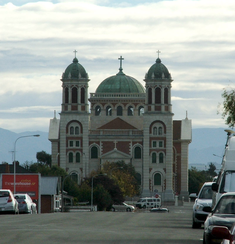
Ashburton ( mi, Hakatere) is a large town in the Canterbury Region, on the east coast of the South Island of New Zealand. The town is the seat of the Ashburton District. It is south west of Christchurch and is sometimes regarded as a satellite town of Christchurch. Ashburton township has a population of . The town is the 29th-largest urban area in New Zealand and the fourth-largest urban area in the Canterbury Region, after Christchurch, Timaru and Rolleston. Toponymy Ashburton was named by the surveyor Captain Joseph Thomas of the New Zealand Land Association, after Francis Baring, 3rd Baron Ashburton, who was a member of the Canterbury Association. Ashburton's common nickname "Ashvegas", is an ironic allusion to Las Vegas. Hakatere is the traditional Māori name for the Ashburton River. The name translates as "to make swift or to flow smoothly". History In 1858 William Turton, ran a ferry across the Ashburton river close to where the Ashburton bridge now lies ... [...More Info...] [...Related Items...] OR: [Wikipedia] [Google] [Baidu] |
Main South Line
The Main South Line, sometimes referred to as part of the South Island Main Trunk Railway, is a railway line that runs north and south from Lyttelton in New Zealand through Christchurch and along the east coast of the South Island to Invercargill via Dunedin. It is one of the most important railway lines in New Zealand and was one of the first to be built, with construction commencing in the 1860s. At Christchurch, it connects with the Main North Line to Picton, the other part of the South Island Main Trunk. Construction Construction of the Main South Line falls into two main sections: from Christchurch through southern Canterbury to Otago's major city of Dunedin; and linking the southern centres of Dunedin and Invercargill, improving communication in southern Otago and large parts of Southland. Construction of the first section of the line began in 1865 and the whole line was completed on 22 January 1879. Christchurch-Dunedin section The Canterbury provincial govern ... [...More Info...] [...Related Items...] OR: [Wikipedia] [Google] [Baidu] |
New Zealand State Highway 1
State Highway 1 (SH 1) is the longest and most significant road in the New Zealand road network, running the length of both main islands. It appears on road maps as SH 1 and on road signs as a white number 1 on a red shield, but it has the official designations SH 1N in the North Island, SH 1S in the South Island. SH 1 is long, in the North Island and in the South Island. Since 2010 new roads have reduced the length from . For the majority of its length it is a two-lane single carriageway, with at-grade intersections and property accesses, in both rural and urban areas. These sections have some passing lanes. Around of SH 1 is of motorway or expressway standard : in the North Island and in the South Island. Route North Island (SH 1N) SH 1 starts at Cape Reinga, at the northwestern tip of the Aupouri Peninsula, and since April 2010 has been sealed (mainly with either chipseal or asphalt) for its entire length. From Waitiki Landing south of Cape Reinga, SH 1 t ... [...More Info...] [...Related Items...] OR: [Wikipedia] [Google] [Baidu] |
Braided River
A braided river, or braided channel, consists of a network of river channels separated by small, often temporary, islands called braid bars or, in English usage, '' aits'' or ''eyots''. Braided streams tend to occur in rivers with high sediment loads or coarse grain sizes, and in rivers with steeper slopes than typical rivers with straight or meandering channel patterns. They are also associated with rivers with rapid and frequent variation in the amount of water they carry, i.e., with "flashy" rivers, and with rivers with weak banks. Braided channels are found in a variety of environments all over the world, including gravelly mountain streams, sand bed rivers, on alluvial fans, on river deltas, and across depositional plains. Description A braided river consists of a network of multiple shallow channels that diverge and rejoin around ephemeral ''braid bars''. This gives the river a fancied resemblance to the interweaved strands of a braid. The braid bars, also known as ... [...More Info...] [...Related Items...] OR: [Wikipedia] [Google] [Baidu] |
The Press
''The Press'' is a daily newspaper published in Christchurch, New Zealand owned by media business Stuff Ltd. First published in 1861, the newspaper is the largest circulating daily in the South Island and publishes Monday to Saturday. One community newspaper—''Northern Outlook''- is also published by ''The Press'' and is free. The newspaper has won the title of New Zealand Newspaper of the Year (in its circulation category) three times: in 2006, 2007 and 2012. It has also won the overall Newspaper of the Year title twice: in 2006 and 2007. History James FitzGerald came to Lyttelton on the '' Charlotte Jane'' in December 1850, and was from January 1851 the first editor of the '' Lyttelton Times'', Canterbury's first newspaper. From 1853, he focussed on politics and withdrew from the ''Lyttelton Times''. After several years in England, he returned to Canterbury concerned about the proposed capital works programme of the provincial government, with his chief concern the ... [...More Info...] [...Related Items...] OR: [Wikipedia] [Google] [Baidu] |
Fault (geology)
In geology, a fault is a planar fracture or discontinuity in a volume of rock across which there has been significant displacement as a result of rock-mass movements. Large faults within Earth's crust result from the action of plate tectonic forces, with the largest forming the boundaries between the plates, such as the megathrust faults of subduction zones or transform faults. Energy release associated with rapid movement on active faults is the cause of most earthquakes. Faults may also displace slowly, by aseismic creep. A ''fault plane'' is the plane that represents the fracture surface of a fault. A '' fault trace'' or ''fault line'' is a place where the fault can be seen or mapped on the surface. A fault trace is also the line commonly plotted on geologic maps to represent a fault. A ''fault zone'' is a cluster of parallel faults. However, the term is also used for the zone of crushed rock along a single fault. Prolonged motion along closely spaced faults can bl ... [...More Info...] [...Related Items...] OR: [Wikipedia] [Google] [Baidu] |
.jpg)


.jpg)


