|
Canterbury, Victoria
Canterbury is an eastern suburb of Melbourne, Victoria, Australia, 10 km from Melbourne's Central Business District, located within the City of Boroondara local government area. Canterbury recorded a population of 7,800 at the 2021 census. Famed for its leafy green boulevards and substantial, opulent historic residences, Canterbury is one of Melbourne's most expensive and exclusive suburbs. Geography Canterbury extends as far as Mont Albert Road in the north, Burke Road in the west, Chatham and Highfield Roads in the east and Riversdale Road to the south. The main thoroughfare through Canterbury is Canterbury Road, which runs east–west and roughly bisects the suburb. Canterbury is the home to many of Victoria's oldest and most prestigious private schools, including Camberwell Grammar School, Camberwell Girls Grammar School and Strathcona Baptist Girls Grammar School. Other schools include Camberwell High School, Canterbury Girls' Secondary College and Canterbury Pr ... [...More Info...] [...Related Items...] OR: [Wikipedia] [Google] [Baidu] |
CC-BY Icon
A Creative Commons (CC) license is one of several public copyright licenses that enable the free distribution of an otherwise copyrighted "work".A "work" is any creative material made by a person. A painting, a graphic, a book, a song/lyrics to a song, or a photograph of almost anything are all examples of "works". A CC license is used when an author wants to give other people the right to share, use, and build upon a work that the author has created. CC provides an author flexibility (for example, they might choose to allow only non-commercial uses of a given work) and protects the people who use or redistribute an author's work from concerns of copyright infringement as long as they abide by the conditions that are specified in the license by which the author distributes the work. There are several types of Creative Commons licenses. Each license differs by several combinations that condition the terms of distribution. They were initially released on December 16, 2002, by ... [...More Info...] [...Related Items...] OR: [Wikipedia] [Google] [Baidu] |
Boulevard
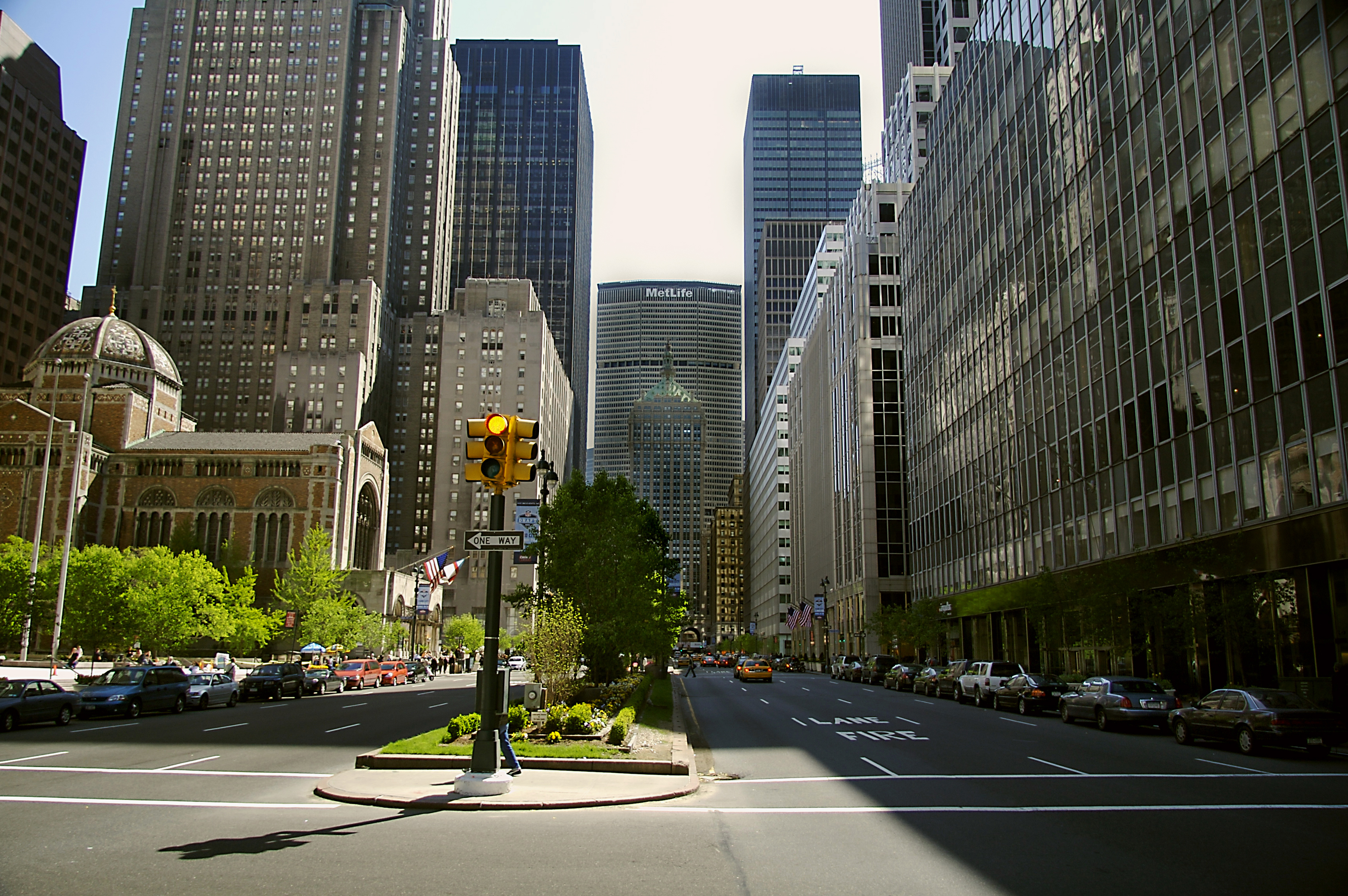
A boulevard is a type of broad avenue planted with rows of trees, or in parts of North America, any urban highway. Boulevards were originally circumferential roads following the line of former city walls. In American usage, boulevards may be wide, multi-lane arterial thoroughfares, often divided with a central median, and perhaps with side-streets along each side designed as slow travel and parking lanes and for bicycle and pedestrian usage, often with an above-average quality of landscaping and scenery. Etymology The word ''boulevard'' is borrowed from French. In French, it originally meant the flat surface of a rampart, and later a promenade taking the place of a demolished fortification. It is a borrowing from the Dutch word ' 'bulwark'. Usage world-wide Asia Cambodia Phnom Penh has numerous boulevards scattered throughout the city. Norodom Boulevard, Monivong Boulevard, Sihanouk Boulevard, and Kampuchea Krom Boulevard are the most famous. India * Bengaluru's Maha ... [...More Info...] [...Related Items...] OR: [Wikipedia] [Google] [Baidu] |
Melbourne Tram Route 72
Melbourne tram route 72 is operated by Yarra Trams on the Melbourne tram network from Melbourne University to Camberwell. The 16.8 kilometre route is operated out of Malvern depot with Z and D class trams. History Route 72 was first allocated to the line between Camberwell (Burke Road) and the City (Swanston Street) on 1 November 1970.The Camberwell Tramway ''Transit Australia'' November 1998 pages 243-248 Prior to that, the line to Camberwell was serviced by route 7. The change was at first due to operations of the Camberwell line being shifted from Malvern depot to Camberwell depot. Even though the route was subsequently returned to Malvern in August 1979, the number 72 was kept. Before 1970, Route 72 was a short-working of the Wattle Park line, for trams that terminated at Riversdale instead of Wattle Park. Trams traditionally terminated at the Victoria Street terminus, but following an accident in 1991, trams instead terminated at the Queensberry Street crossover. Due ... [...More Info...] [...Related Items...] OR: [Wikipedia] [Google] [Baidu] |
Belgrave Railway Line
The Belgrave railway line is a commuter rail line operating between Flinders Street in the Melbourne central business district and Belgrave, through the eastern suburbs of Melbourne, including Richmond, Cremorne, Burnley, Hawthorn, Hawthorn East, Camberwell, Canterbury, Surrey Hills, Mont Albert, Box Hill, Blackburn, Nunawading, Mitcham, Ringwood, Heathmont, Bayswater, Boronia, Ferntree Gully, Upper Ferntree Gully, Upwey, Tecoma and Belgrave. It is part of the Melbourne rail network, operated by Metro Trains Melbourne. Beyond Belgrave, the narrow-gauge line has been restored as the Puffing Billy Railway, which runs to the original terminus of Gembrook. Infrastructure The broad-gauge line shares four tracks to Burnley, where the Glen Waverley line branches off. The line is triple track to Box Hill, and double track to Ringwood, where the Lilydale line branches off. The line remains double track to Ferntree Gully, and is then single track to Belgrave, with passing lo ... [...More Info...] [...Related Items...] OR: [Wikipedia] [Google] [Baidu] |
Lilydale Railway Line
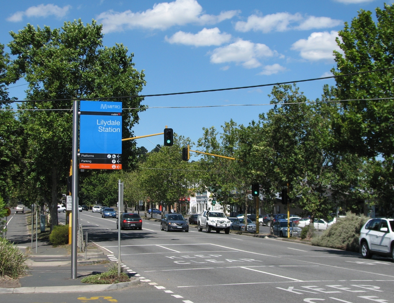
The Lilydale railway line is a commuter railway line operating between Flinders Street in the Melbourne central business district and Lilydale through Melbourne's eastern suburbs including Richmond, Cremorne, Burnley, Hawthorn, Hawthorn East, Camberwell, Canterbury, Surrey Hills, Mont Albert, Box Hill, Blackburn, Nunawading, Mitcham, Ringwood, Ringwood East, Croydon, Mooroolbark, and Lilydale. It is part of the Melbourne rail network operated by Metro Trains Melbourne. Description The Lilydale line runs through Melbourne's eastern suburbs across mostly gentle hills (but with some steeper sections near the end of the line), having few straight or level sections. Earthworks are significant, with deep cuttings at Hawthorn, Camberwell, Box Hill, Heatherdale and near Croydon. Around Glenferrie and Auburn the line has been raised above the surrounding area on an embankment to avoid level crossings of several roads. All but two level crossings have been eliminated between th ... [...More Info...] [...Related Items...] OR: [Wikipedia] [Google] [Baidu] |
East Camberwell Railway Station
East Camberwell railway station is located on the Lilydale and Belgrave lines in Victoria, Australia. It serves the eastern Melbourne suburb of Camberwell, and it opened on 14 May 1900.East Camberwell Vicsig History East Camberwell station opened on 14 May 1900, and was originally the for the ''Deepdene Dasher'' service, which ran north along the Outer Circle line, that had opened in 1891. Three platforms were provided; two high-level ones for trains on the Lilydale line, and a single low-le ...[...More Info...] [...Related Items...] OR: [Wikipedia] [Google] [Baidu] |
Maroondah Highway
Maroondah Highway (also known as Whitehorse Road from Deepdene, Victoria, Deepdene to Mitcham, Victoria, Mitcham) is a major east–west thoroughfare in the eastern suburbs of Melbourne, and a highway connecting the north-eastern fringes of Melbourne to the lower alpine region of Victoria (Australia), Victoria, Australia. Route Whitehorse Road/Maroondah Hwy begins as a continuation of Cotham Road at Burke Road, Melbourne, Burke Road, through the suburbs of Balwyn, Victoria, Balwyn and Deepdene, Victoria, Deepdene. At this point, it is a typical inner-Melbourne, four lane, single carriageway arterial road. The Melbourne tram route 109, route 109 tram also runs along this stretch of the road. The road continues through Mont Albert, Victoria, Mont Albert, until its intersection with Elgar Road in Box Hill, where the road becomes a four lane dual carriageway with trams running down the central median strip. Burke Road and Elgar Roads being the east and west boundaries of Captain E ... [...More Info...] [...Related Items...] OR: [Wikipedia] [Google] [Baidu] |
Maling Road
Maling Road is a popular shopping strip in Canterbury, Victoria, Australia. It contains over fifty Edwardian-style shops in a pseudo-village A village is a clustered human settlement or community, larger than a hamlet but smaller than a town (although the word is often used to describe both hamlets and smaller towns), with a population typically ranging from a few hundred to ... setting. Its location was chosen due to its proximity to Canterbury railway station. History The present-day shopping strip has its roots in the construction of the railway line at Canterbury railway station in 1882. Although most buildings in the area near the intersection with Canterbury Road date from the early 1900s, some were constructed before this time. In the 1970s after the grade separation of the railway line across Canterbury Road, there were proposals to demolish large parts of the shopping centre and construct a supermarket. This was met with resistance from the local communit ... [...More Info...] [...Related Items...] OR: [Wikipedia] [Google] [Baidu] |
Canterbury Railway Station, Melbourne
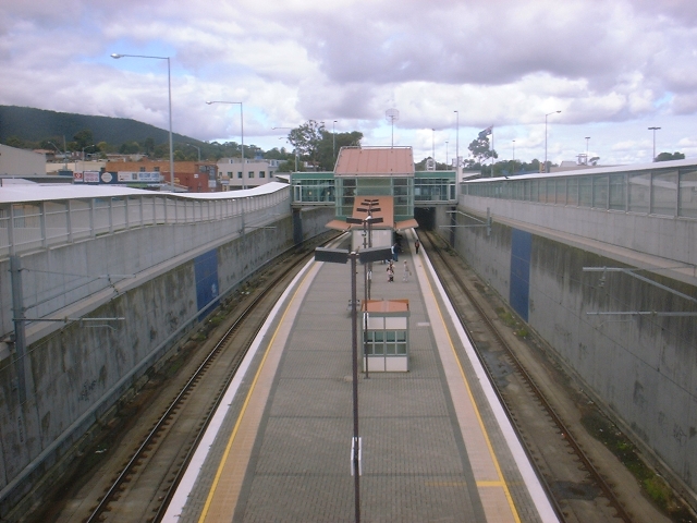
Canterbury railway station is located on the Lilydale and Belgrave lines in Victoria, Australia. It serves the eastern Melbourne suburb of Canterbury, and it opened on 1 December 1882.Canterbury Vicsig In the 1930s, a was provided at the southern ( Up) end of the station, and a provided to work the interlocked |
Canterbury Girls' Secondary College
Canterbury Girls Secondary College is an all-girls secondary school located in Canterbury, Victoria, Australia. The school provides an education from years 7 to 12. History It was established in 1928 as East Camberwell Domestic Arts School, catering for girls and offering courses up to Year 10. It became Camberwell Girls' High School in 1958, having a number of official names throughout the 1950s. In 1961 the name Canterbury Girls' High School was adopted. In 1989, after consultation with the school community, the school's name was changed in line with Government policy to Canterbury Girls' Secondary College. It remains a girls state school. Canterbury Girls' Secondary College was ranked 17th out of all state secondary schools in Victoria based on VCE results in 2018. Notable alumni * Rosé (real name Roseanne Park)member of South Korean girl group Blackpink * Suzanne Cory molecular biologist * Esther Hannafordactress * Kate Kendall Kate Kendall (born 27 J ... [...More Info...] [...Related Items...] OR: [Wikipedia] [Google] [Baidu] |
Camberwell High School
(Learning to be considerate of others) , city = Canterbury , state = Victoria , country = Australia , coordinates = , type = Public , established = 1941 , principal = Jill Laughlin , grades = 7-12 , colours = Green and red , yearbook = Prospice , website www.camhigh.vic.edu.au , gender = Co-education , students = Approx. 1200 , grades_label = Years , free_label_1 = Publications , free_1 = Bi-weekly newsletter Camberwell High School is a government-funded, government run, co-educational high school for years 7 to 12, located on Prospect Hill Road in Canterbury, a suburb of Melbourne, Victoria, Australia. Camberwell High School is located on a 3.2-hectare site in Canterbury, which lies about twelve kilometres ... [...More Info...] [...Related Items...] OR: [Wikipedia] [Google] [Baidu] |
Strathcona Baptist Girls Grammar School
(Bravely, Faithfully, Happily) , established = , type = Independent, single-sex, Christian, day school , denomination = Baptist , slogan = Girls Unstoppable , principal = Marise McConaghy , chaplain = Rev. Janet Costello , founder = Mrs Florence Livingstone & Miss Henrietta Hughes , chairperson = Jocelyn Furlan , city = Canterbury , state = Victoria , country = Australia , coordinates = , gender = Girls , enrolment = ~800 ( P– 12)Strathcona Girls Grammar School- International (accessed:12-06-2007) , staff = , colours ... [...More Info...] [...Related Items...] OR: [Wikipedia] [Google] [Baidu] |


