|
Canberra Avenue
Canberra Avenue is a major road in Canberra, Australian Capital Territory. It is the primary link between the nation's capital and the city of Queanbeyan, New South Wales which lies on the Territory's eastern border. The route also passes historic two historic landmarks; Manuka Oval Manuka Oval is a sporting venue in Canberra, the capital of Australia. It is located in Griffith, in the area of that suburb known as Manuka. Manuka Oval has a seating capacity of 13,550 people and an overall capacity of 16,000 people, althoug ..., opened in 1929 and the Church of Saint Andrew in the suburb of Forrest. See also References {{Road infrastructure in Canberra Streets in Canberra ... [...More Info...] [...Related Items...] OR: [Wikipedia] [Google] [Baidu] |
Capital Circle
Capital Circle is a circular road surrounding Capital Hill, Australian Capital Territory, Capital Hill in the centre of Canberra, Australia's capital city. It is one of three concentric roads on the hill, with State Circle the outermost and Parliament Drive the innermost. There are no buildings on Capital Circle. Parliament Drive surrounds Parliament House, Canberra, New Parliament House. Roads named for each of Australia's state capitals converge at Capital Circle or State Circle. The main roads leading from the circle are Commonwealth Avenue, Canberra, Commonwealth Avenue to the north and Canberra Avenue and Adelaide Avenue to the south. Design Capital Circle is a three-lane road. All traffic runs in a clockwise direction. A short section under Federation Mall is in tunnel. The road does not form a complete circle, as a section under Commonwealth Avenue was closed a few years after opening due to the high number of crashes apparently resulting partly from the closeness of ... [...More Info...] [...Related Items...] OR: [Wikipedia] [Google] [Baidu] |
Capital Hill, Australian Capital Territory
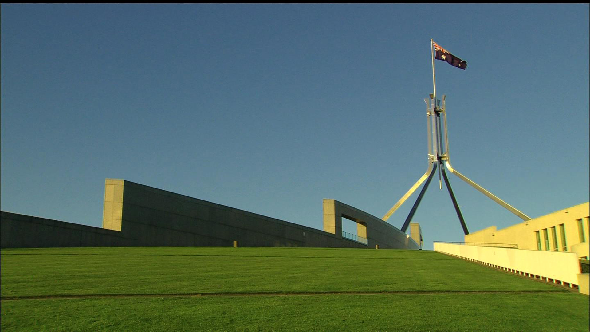
Capital Hill ( postcode: 2600) is the location of Parliament House, Canberra, at the south apex of the land axis of the Parliamentary Triangle. The site was selected as the location of the ''Capitol'' in Walter Burley Griffin's Canberra design in 1912, which he envisaged to be "either a general administration structure for popular receptions and ceremony or for housing archives and commemorating Australian Achievements". The proposed building is commemorated in the name of the ''Capitol Theatre'', Manuka. However, Griffin's name for the hill was subsequently changed to Capital Hill. The Parliament buildings were to be located a little further down the hill towards Lake Burley Griffin at Camp Hill, between Capital Hill and the Provisional Parliament House. Griffin opposed the plan to build a Provisional Parliament House on the lower slopes of Camp Hill, because he considered that it would make it difficult to build the permanent Parliament House on Camp Hill, as the provisiona ... [...More Info...] [...Related Items...] OR: [Wikipedia] [Google] [Baidu] |
Kings Highway (Australia)
Kings Highway is an interstate highway located within the Australian Capital Territory and New South Wales, Australia. The highway connects Canberra with Batemans Bay on the South Coast. It is designated route B52. Route West to east, it starts at the interchange with Monaro Highway, Canberra Avenue and Ipswich Street on the northern border of Symonston in the Australian Capital Territory and continues in a westerly direction along Canberra Avenue, crosses over the border into New South Wales near Queanbeyan, passes through Queanbeyan itself, Carwoola, briefly crosses back into the Kowen district of ACT and then back into NSW heading south-east to Batemans Bay via Bungendore, Braidwood and Nelligen. Kings Highway links Monaro Highway in Canberra to Princes Highway in Batemans Bay, and provides access for residents of Canberra to the NSW South Coast and its beaches. The highway is often busy on weekends, especially during summer. The highway also experiences a high number of ... [...More Info...] [...Related Items...] OR: [Wikipedia] [Google] [Baidu] |
Queanbeyan, New South Wales
Queanbeyan ( ) is a city in the south-eastern region of New South Wales, Australia, located adjacent to the Australian Capital Territory in the Southern Tablelands region. Located on the Queanbeyan River, the city is the council seat of the Queanbeyan-Palerang Regional Council. At the , the Queanbeyan part of the Canberra–Queanbeyan built-up area had a population of 37,511. Queanbeyan's economy is based on light construction, manufacturing, service, retail and agriculture. Canberra, Australia's capital, is located to the west, and Queanbeyan is a commuter town. The word ''Queanbeyan'' is the anglicised form of ''Quinbean'', an Aboriginal word meaning ''"clear waters"''. History The first inhabitants of Queanbeyan are Ngambri peoples of the Walgalu Nation, the meeting place of two rivers was known by the local Indigenous population as Quinbean, which is the name of our Historical Journal. The traditional owners, the Ngambri, in ancestral times: Before white man’s arriva ... [...More Info...] [...Related Items...] OR: [Wikipedia] [Google] [Baidu] |
State Circle
State Circle is a circular road surrounding Capital Hill in the centre of Canberra, Australia's capital city. It is the outermost of the three concentric roads on the hill, with Capital Circle and Parliament Drive located within State Circle. Capital Circle is a bi-directional four-lane road with most intersections being signalised and at-grade. The speed limit is 70 km/h.Google Maps/Google Street View , accessed 20 April 2013 It is named for the . Roads named for each of Australia's state capitals are also among those that inte ... [...More Info...] [...Related Items...] OR: [Wikipedia] [Google] [Baidu] |
Monaro Highway
Monaro Highway is a highway in Victoria, New South Wales, and the Australian Capital Territory, in Australia, linking in Victoria to Canberra in the Australian Capital Territory (ACT) via the Monaro region. From its southern terminus, it follows the nearby Cann River upstream towards the New South Wales border through heavily forested terrain. Within New South Wales (NSW), it makes its way through further forest before reaching the pastures typical of the Monaro. There are multiple towns and villages along the highway, including , , and . The terrain within the Monaro is largely hilly, and there are numerous crossings. The road also parallels the former Bombala railway line in several locations. Within the ACT, the road becomes a high volume roadway and serves the southern suburbs of Canberra. The highway has more recently had a grade-separated dual carriageway extension constructed within Canberra, as part of the Eastern Parkway construction project. It is designated part of r ... [...More Info...] [...Related Items...] OR: [Wikipedia] [Google] [Baidu] |
Hindmarsh Drive, Canberra
Hindmarsh Drive is a major arterial road in the southern suburbs of Canberra, the capital city of Australia. It is named after John Hindmarsh, first Governor of South Australia. The road forms the major east to west link through the Woden Valley and Weston Creek districts, and is an important access corridor for both Canberra Hospital and the Woden Town Centre. Hindmarsh Drive is intersected by both the Monaro Highway and Tuggeranong Parkway at grade separated intersections. In 2010, the ACT Government announced that Hindmarsh Drive would be the site of the first point-to-point average speed cameras A traffic enforcement camera (also red light camera, speed camera, road safety camera, road rule camera, photo radar, photo enforcement, Gatso, safety camera, bus lane camera, flash for cash, Safe-T-Cam, No contact apprehension camera dependin ... to be installed in the Territory. The cameras became operational on 27 February 2012. See also References {{Road infrastructure ... [...More Info...] [...Related Items...] OR: [Wikipedia] [Google] [Baidu] |
Canberra, Australian Capital Territory
Canberra ( ) is the capital city of Australia. Founded following the Federation of Australia, federation of the colonies of Australia as the seat of government for the new nation, it is Australia's largest inland city and the List of cities in Australia by population, eighth-largest city overall. The city is located at the northern end of the Australian Capital Territory at the northern tip of the Australian Alps, the country's highest mountain range. As of June 2021, Canberra's estimated population was 453,558. The area chosen for the capital had been inhabited by Indigenous Australians for up to 21,000 years, with the principal group being the Ngunnawal people. European settlement commenced in the first half of the 19th century, as evidenced by surviving landmarks such as St John the Baptist Church, Reid, St John's Anglican Church and Blundells Cottage. On 1 January 1901, federation of the colonies of Australia was achieved. Following a long dispute over whether Sydney o ... [...More Info...] [...Related Items...] OR: [Wikipedia] [Google] [Baidu] |
Manuka Oval
Manuka Oval is a sporting venue in Canberra, the capital of Australia. It is located in Griffith, in the area of that suburb known as Manuka. Manuka Oval has a seating capacity of 13,550 people and an overall capacity of 16,000 people, although this is lower for some sports depending on the configuration used. The area on which the ground is situated has been used for sport since the early 20th century, but was only enclosed in 1929. It has since undergone several redevelopments, most recently beginning in 2011. Currently, Manuka Oval is primarily used for cricket (during the summer months) and Australian rules football (during the winter months). The ground was previously also used for rugby league and rugby union matches, but there are now more suitable venues in Canberra for those sports. As a cricket ground, Manuka Oval is the home venue for the ACT Comets (men's) and the ACT Meteors (women's) teams, and has also hosted a number of international matches, including at the 1 ... [...More Info...] [...Related Items...] OR: [Wikipedia] [Google] [Baidu] |
Forrest, Australian Capital Territory
Forrest ( postcode: 2603) is a suburb of Canberra, Australian Capital Territory, Australia. Forrest is named after Sir John Forrest, an explorer, legislator, federalist, Premier of Western Australia, and one of the fathers of the Australian Constitution. Streets in Forrest are named after explorers and governors. According to the Australian Bureau of Statistics Forrest is the second most Socio-Economic advantaged location in Australia after the neighbouring suburb of Barton. Forrest is one of the few suburbs in Canberra built to the original Canberra plans. It contains many circular and geometric patterns in its streets and can be quite confusing to drive in. Forrest was renamed from the earlier suburb Blandfordia (the name of the Christmas Bell) and gazetted as a suburb in 1928. South Blandfordia became part of the new suburb of Griffith at the same time. The original residents of Forrest were mostly senior public servants who were moved from Melbourne. Demography In ... [...More Info...] [...Related Items...] OR: [Wikipedia] [Google] [Baidu] |


