|
Camp Meriwether (Oregon)
Camp Meriwether is a 790-acre Scouts BSA summer camp founded in 1926 and located south of Cape Lookout near Cloverdale, Oregon, along the Oregon Coast. Camp Meriwether is the largest of the Cascade Pacific Council's four resident camps in Oregon. During World War II, the camp was closed for two years and served as a US Army outpost until 1943. Since 2015, there has been controversy over the intended development of a golf course over 200 acres of coastal land. Early years The land upon which Camp Meriwether sits was purchased in 1926 by Scout Executive George "Chief Obie" Obertueffer of the Portland Area Council. Following a fire and the destruction of the lodge at Camp Chinidere, near Wahtum Lake on Mt. Hood, the council began to look for a new property. Oberteuffer was able to persuade the council to purchase the land from the Chamberlain family for $19,000 (when the operating budget for the council was $26,000). The camp was named for Meriwether Lewis, of the Lewis and Clark ... [...More Info...] [...Related Items...] OR: [Wikipedia] [Google] [Baidu] |
Cascade Pacific Council
Scouting in the U.S. state of Oregon includes the Boy Scouts of America (BSA) and Girl Scouts (GSUSA) youth organizations, as well as newer organizations like the Baden-Powell Service Association. Early history (1907–1950) In 1916, the Portland Council (#492) was founded. It changed its name to the Portland Area Council (#492) in 1929. It changed its name again to the Columbia Pacific Council (#492) in 1966. It merged into the Cascade Pacific Council (#492) in 1993. In 1918, the Salem Council (#493) was founded. It changed its name to the Willamette District Council (#493) in 1923. It changed its name again to the Cascade Area Council (#493) in 1926. In 1926, the Umatilla Council (#738) was formed, merging into the Blue Mountain Council in 1927. In 1926, the Eastern Oregon Area Council (#760) was formed, merging into Blue Mountain in 1932. In 1921, the Lagrande Council (#494) was founded. It closed in 1924. In 1922, the Astoria Council (#489) was founded. It changed i ... [...More Info...] [...Related Items...] OR: [Wikipedia] [Google] [Baidu] |
United States
The United States of America (U.S.A. or USA), commonly known as the United States (U.S. or US) or America, is a country primarily located in North America. It consists of 50 states, a federal district, five major unincorporated territories, nine Minor Outlying Islands, and 326 Indian reservations. The United States is also in free association with three Pacific Island sovereign states: the Federated States of Micronesia, the Marshall Islands, and the Republic of Palau. It is the world's third-largest country by both land and total area. It shares land borders with Canada to its north and with Mexico to its south and has maritime borders with the Bahamas, Cuba, Russia, and other nations. With a population of over 333 million, it is the most populous country in the Americas and the third most populous in the world. The national capital of the United States is Washington, D.C. and its most populous city and principal financial center is New York City. Paleo-Americ ... [...More Info...] [...Related Items...] OR: [Wikipedia] [Google] [Baidu] |
Freshwater Lake
A lake is an area filled with water, localized in a basin, surrounded by land, and distinct from any river or other outlet that serves to feed or drain the lake. Lakes lie on land and are not part of the ocean, although, like the much larger oceans, they do form part of the Earth's water cycle. Lakes are distinct from lagoons, which are generally coastal parts of the ocean. Lakes are typically larger and deeper than ponds, which also lie on land, though there are no official or scientific definitions. Lakes can be contrasted with rivers or streams, which usually flow in a channel on land. Most lakes are fed and drained by rivers and streams. Natural lakes are generally found in mountainous areas, rift zones, and areas with ongoing glaciation. Other lakes are found in endorheic basins or along the courses of mature rivers, where a river channel has widened into a basin. Some parts of the world have many lakes formed by the chaotic drainage patterns left over from the last ice ... [...More Info...] [...Related Items...] OR: [Wikipedia] [Google] [Baidu] |
Chamberlain Lake, Camp Meriwether
Chamberlain may refer to: Profession * Chamberlain (office), the officer in charge of managing the household of a sovereign or other noble figure People *Chamberlain (surname) ** Houston Stewart Chamberlain (1855–1927), German-British philosopher and racialist writer ** Joshua Chamberlain (1828–1914), Brigadier General of American Civil War and Governor of Maine **Neville Chamberlain (1869–1940), British Prime Minister at the outbreak of World War II ** Wilt Chamberlain (1936–1999), American basketball player Places *Chamberlains, Newfoundland and Labrador, Canada *Chamberlain, Ontario, Canada *Chamberlain, Saskatchewan, Canada *Chamberlain Township, Brule County, South Dakota, a township **Chamberlain, South Dakota, United States, a city *Chamberlain, Uruguay *Chamberlain Basin, Custer County, Idaho * Chamberlain Square in Birmingham, England *D.S. Chamberlain Building, listed on the National Register of Historic Places in Polk County, Iowa Arts, entertainment, an ... [...More Info...] [...Related Items...] OR: [Wikipedia] [Google] [Baidu] |
Bombardier (aircrew)
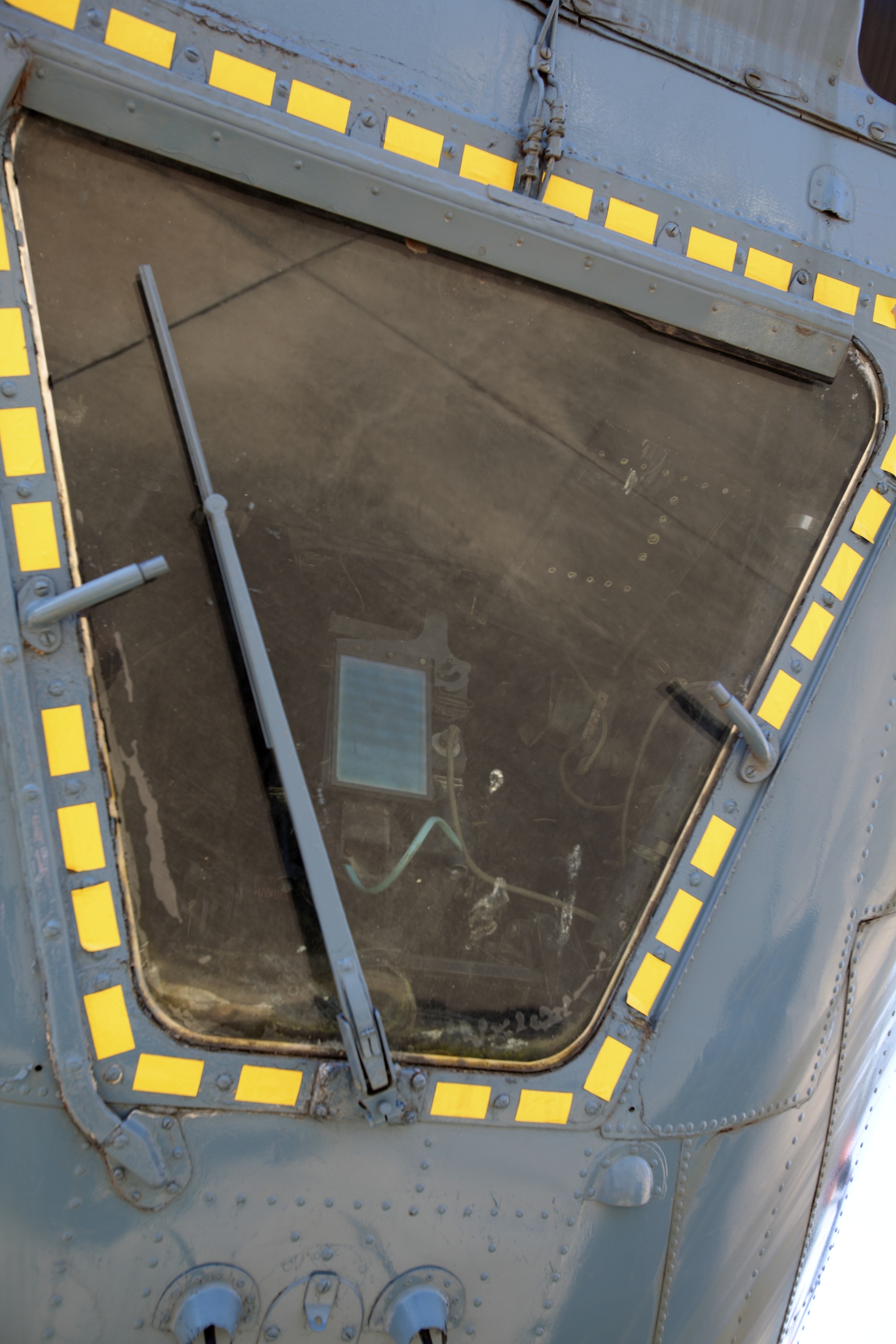
A bombardier or bomb aimer is the crew member of a bomber aircraft responsible for the targeting of aerial bombs. "Bomb aimer" was the preferred term in the military forces of the Commonwealth, while "bombardier" (from the French word for "bomb thrower" and similar in meaning to "grenadier") was the equivalent position in the United States Armed Forces. In many planes, the bombardier took control of the airplane during the bombing run, using a device such as the Norden bombsight which was connected to the autopilot of the plane. Often stationed in the extreme front of the aircraft, on the way to the target and after releasing the bombs, he could also serve as the front gunner in aircraft that had a front turret. In the latter part of the 20th century, the title of bombardier fell into disuse, due largely to changes in technology, emanating from the replacement of this manual function with the development of computerized technology and smart bombs, that has given rise to terms ... [...More Info...] [...Related Items...] OR: [Wikipedia] [Google] [Baidu] |
B-17 Flying Fortress
The Boeing B-17 Flying Fortress is a four-engined heavy bomber developed in the 1930s for the United States Army Air Corps (USAAC). Relatively fast and high-flying for a bomber of its era, the B-17 was used primarily in the European Theater of Operations, United States Army, European Theater of Operations and dropped more bombs than any other aircraft during World War II. It is the List of most-produced aircraft, third-most produced bomber of all time, behind the four-engined Consolidated B-24 Liberator and the multirole, twin-engined Junkers Ju 88. It was also employed as a transport, antisubmarine aircraft, drone controller, and search-and-rescue aircraft. In a USAAC competition, Boeing, Boeing's prototype Model 299/XB-17 outperformed two other entries but crashed, losing the initial 200-bomber contract to the Douglas B-18 Bolo. Still, the Air Corps ordered 13 more B-17s for further evaluation, then introduced it into service in 1938. The B-17 evolved through numerous Boei ... [...More Info...] [...Related Items...] OR: [Wikipedia] [Google] [Baidu] |
Neahkahnie Mountain
Neahkahnie Mountain is a mountain, or headland, on the Oregon Coast, north of Manzanita in Oswald West State Park overlooking U.S. Route 101. The peak is part of the Northern Oregon Coast Range, which is part of the Oregon Coast Range. It is best known for stories of Spanish treasure said to be buried either at the foot of the mountain, or on its slopes. In earlier times, Native Americans would set fires to clear the mountain slopes so deer and elk would have tender vegetation to eat in the spring. Pioneers afterwards did the same so their cattle and sheep would have grass to graze on. Since at least 1990, however, this practice was discontinued and the slopes are heavily forested in many places. The name comes from the Tillamook language, although according to Lewis A. McArthur, an Oregonian geographic historian, the meaning of the word is controversial. ''Neah-Kah-Nie'' (other spellings, although obsolescent include "Ne-a-karney" and ''Ne-kah-ni'') is translated as "the plac ... [...More Info...] [...Related Items...] OR: [Wikipedia] [Google] [Baidu] |
Cape Meares
Cape Meares is a small headland on the Pacific coast in Tillamook County, Oregon, United States. The cape forms a high steep bluff on the south end of Tillamook Bay, approximately five miles (8 km) northwest of the city of Tillamook. Much of the cape is part of the Oregon Parks and Recreation Department-administered Cape Meares State Scenic Viewpoint with three miles of hiking trails, which includes Cape Meares Light and the Octopus Tree. The cape is named after John Meares, a British explorer. Geography Immediately north of the cape is the community of Cape Meares, next to Cape Meares Lake. Cape Meares beach extends north of the community of Cape Meares, along a sand spit, or peninsula, that encloses Tillamook Bay. The peninsula is alternatively known as Bayocean, after a popular upscale resort town that occupied the beach in the early 20th century, until beach erosion began to destroy the town beginning in the 1930s. Today, no significant remnant of the resort to ... [...More Info...] [...Related Items...] OR: [Wikipedia] [Google] [Baidu] |
Cascade Head
Cascade Head is a headland and UNESCO biosphere reserve and United States Forest Service Experimental Forest. It is situated southwest of Portland, Oregon on the Oregon Coast between Lincoln City and Neskowin. Cascade Head Preserve is a Nature Conservancy Selected Site. The Nature Conservancy In the early 1960s, volunteers organized an effort to protect Cascade Head from development. By 1966 they had raised funds and purchased the property, and then turned it over to The Nature Conservancy. Because of its ecological significance, Cascade Head Preserve and surrounding national forest and other lands won recognition in 1980 as a National Scenic Research Area and a United Nations Biosphere Reserve. Conservancy researchers are testing methods of maintaining and restoring grassland habitat for the Oregon silverspot butterfly, including prescribed fire. Conservancy ecologists also monitor the populations of rare plants throughout the year. In spring and summer, teams of volunt ... [...More Info...] [...Related Items...] OR: [Wikipedia] [Google] [Baidu] |
Cape Kiwanda
Cape Kiwanda State Natural Area is a state park in Pacific City, Oregon, United States. Cape Kiwanda is on the Three Capes Scenic Route, which includes Cape Meares and Cape Lookout. Hiking to the top of Cape Kiwanda allows views of Nestucca Bay to the south and Cape Lookout to the north. A sea stack, named "Chief Kiwanda rock", is located southwest of the cape. It is one of three features along the Oregon Coast that are called "Haystack Rock", though the one in Cannon Beach is more widely known. One of the attractions, called the Duckbill, in the park was destroyed by vandals in August 2016. File: PACIFICCITY-Nov2004-MathewDodson.JPG, The cape from the beach in Pacific City, November 2004 File:CapeKiwanda-Nov2004-MathewDodson.jpg, View from the trail on Cape Kiwanda File:Kiwanda Haystack.JPG, Haystack Rock near Cape Kiwanda File:Aerial View of Cape Kiwanda State Natural Area.jpg, Aerial View of Cape Kiwanda State Natural Area See also * List of Oregon state parks * Hay ... [...More Info...] [...Related Items...] OR: [Wikipedia] [Google] [Baidu] |
Sitka Spruce
''Picea sitchensis'', the Sitka spruce, is a large, coniferous, evergreen tree growing to almost tall, with a trunk diameter at breast height that can exceed 5 m (16 ft). It is by far the largest species of spruce and the fifth-largest conifer in the world (behind Sequoiadendron giganteum, giant sequoia, Sequoia sempervirens, coast redwood, Agathis australis, kauri, and western red cedar), and the third-tallest conifer species (after coast redwood and Pseudotsuga menziesii var. menziesii, coast Douglas fir). The Sitka spruce is one of the few species List of superlative trees, documented to exceed in height. Its name is derived from the community of Sitka, Alaska, Sitka in southeast Alaska, where it is prevalent. Its range hugs the western coast of Canada and the US, continuing south into northernmost California. Description The Bark (botany), bark is thin and scaly, flaking off in small, circular plates across. The inner bark is reddish-brown. The crown is broad c ... [...More Info...] [...Related Items...] OR: [Wikipedia] [Google] [Baidu] |
Siuslaw National Forest
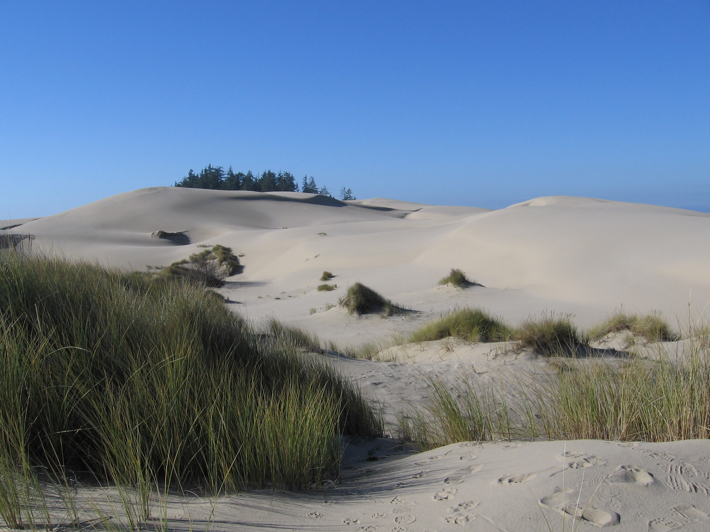
The Siuslaw National Forest ( ) is a national forest in western Oregon in the United States. Established in 1908, the Siuslaw is made up of a wide variety of ecosystems, ranging from coastal forests to sand dunes. Geography The Siuslaw National Forest encompasses more than along the central Oregon Coast between Coos Bay and Tillamook, and in some places extends east from the ocean, beyond the crest of the Oregon Coast Range, almost reaching the Willamette Valley. The forest lies primarily in Lane County (39% of the forest) and Lincoln County (27% of the forest); the rest in descending order of land area are Tillamook, Douglas, Yamhill, Benton, Coos, and Polk counties. It includes the Sand Lake Recreation Area and the Oregon Dunes National Recreation Area. The Forest Supervisor's office is located in Corvallis, and the Siuslaw is broken up into two ranger districts—the Hebo Ranger District, with approximately , and the Central Coast Ranger District, with approximate ... [...More Info...] [...Related Items...] OR: [Wikipedia] [Google] [Baidu] |


