|
Camiri Municipality
Camiri (Camirito, La Bomba, Choreti, Capital Petrolera de Bolivia) is a city in Bolivia, Santa Cruz Department, Cordillera Province. It is the seat of the Camiri Municipality. The town has an estimated population of 65,897 inhabitants, also known as "Camireños." Camiri is on the banks of the Parapeti River in a small valley surrounded by rolling hills on the east, north, and south, and by the Aguarague mountain range on the west. Camiri's Chaco ecosystem encompasses |
Flag Of Bolivia
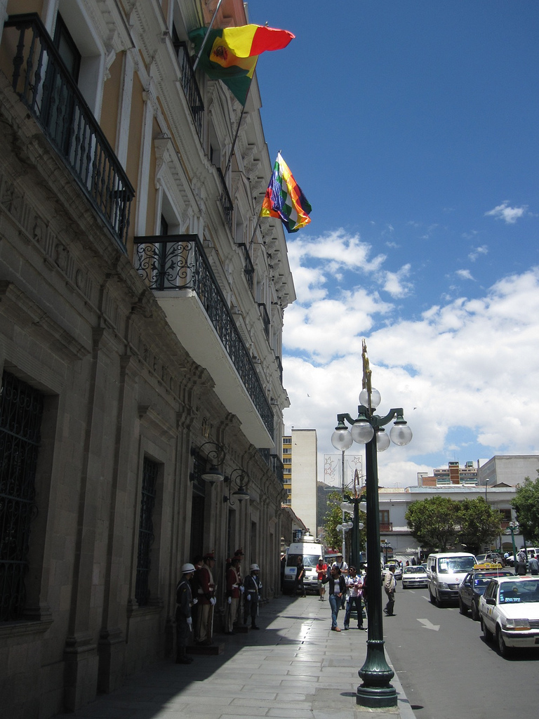
The flag of Bolivia is the national flag of the Bolivia, Plurinational State of Bolivia. It was originally adopted in 1851. The state and war flag is a horizontal tricolour (flag), tricolor of red, yellow and green with the Coat of Arms of Bolivia, Bolivian coat of arms in the center. According to one source, the red stands for Bolivia's brave soldiers, while the green symbolizes soil fertility, fertility and yellow the nation's mineral deposits. Since 2009 the Wiphala also holds the status of ''dual flag'' in the country. According to the revised Constitution of Bolivia of 2009, the Wiphala is considered a national symbol of Bolivia (along with the flag, national anthem, Coat of arms of Bolivia, coat of arms, the cockade; Cantua buxifolia, kantuta flower and patujú flower). Despite its landlocked status, Bolivia has a naval ensign used by navy vessels on rivers and lakes. It consists of a blue field with the state flag in the Flag terminology, canton bordered by nine small y ... [...More Info...] [...Related Items...] OR: [Wikipedia] [Google] [Baidu] |
Gran Chaco
The Gran Chaco or Dry Chaco is a sparsely populated, hot and semiarid lowland natural region of the Río de la Plata basin, divided among eastern Bolivia, western Paraguay, northern Argentina, and a portion of the Brazilian states of Mato Grosso and Mato Grosso do Sul, where it is connected with the Pantanal region. This land is sometimes called the Chaco Plain. Toponymy The name Chaco comes from a word in Quechua, an indigenous language from the Andes and highlands of South America. The Quechua word ''chaqu'' meaning "hunting land" comes probably from the rich variety of animal life present throughout the entire region. Geography The Gran Chaco is about 647,500 km² (250,000 sq mi) in size, though estimates differ. It is located west of the Paraguay River and east of the Andes, and is mostly an alluvial sedimentary plain shared among Paraguay, Bolivia, and Argentina. It stretches from about 17 to 33°S latitude and between 65 and 60°W longitude, though estimate ... [...More Info...] [...Related Items...] OR: [Wikipedia] [Google] [Baidu] |
Humid Subtropical Climate
A humid subtropical climate is a zone of climate characterized by hot and humid summers, and cool to mild winters. These climates normally lie on the southeast side of all continents (except Antarctica), generally between latitudes 25° and 40° and are located poleward from adjacent tropical climates. It is also known as warm temperate climate in some climate classifications. Under the Köppen climate classification, ''Cfa'' and ''Cwa'' climates are either described as humid subtropical climates or warm temperate climates. This climate features mean temperature in the coldest month between (or ) and and mean temperature in the warmest month or higher. However, while some climatologists have opted to describe this climate type as a "humid subtropical climate", Köppen himself never used this term. The humid subtropical climate classification was officially created under the Trewartha climate classification. In this classification, climates are termed humid subtropical when the ... [...More Info...] [...Related Items...] OR: [Wikipedia] [Google] [Baidu] |
Camiri Central Park
Camiri (Camirito, La Bomba, Choreti, Capital Petrolera de Bolivia) is a city in Bolivia, Santa Cruz Department, Cordillera Province. It is the seat of the Camiri Municipality. The town has an estimated population of 65,897 inhabitants, also known as "Camireños." Camiri is on the banks of the Parapeti River in a small valley surrounded by rolling hills on the east, north, and south, and by the Aguarague mountain range on the west. Camiri's Chaco ecosystem encompasses |
Camiri Parque Central Dic 2011
Camiri (Camirito, La Bomba, Choreti, Capital Petrolera de Bolivia) is a city in Bolivia, Santa Cruz Department, Cordillera Province. It is the seat of the Camiri Municipality. The town has an estimated population of 65,897 inhabitants, also known as "Camireños." Camiri is on the banks of the Parapeti River in a small valley surrounded by rolling hills on the east, north, and south, and by the Aguarague mountain range on the west. Camiri's Chaco ecosystem encompasses |
YPFB
Yacimientos Petrolíferos Fiscales Bolivianos (YPFB) is a Bolivian state-owned enterprise dedicated to the exploration, exploitation, refining, industrialization, distribution and commercialization of oil, natural gas and derived products. It was created on December 21, 1936 under a government decree during the presidency of David Toro. YPFB is one of the biggest corporations in Bolivia. History Following Bolivia's defeat in the Chaco War, public outrage against Standard Oil coalesced with outrage against the Bolivian military and political classes. A core of labor movements and Chaco War veterans backed the political rise of military officers, included Colonel David Toro. Led by Toro, Bolivia followed the Argentinean model by creating a national, state-owned and run, oil company in 1936 -- YPFB. During the first presidency of Gonzalo Sánchez de Lozada, YPFB was broken up and largely sold off. "Capitalized" oil companies were formed from YPFB properties under the capitalizat ... [...More Info...] [...Related Items...] OR: [Wikipedia] [Google] [Baidu] |
Biodiversity
Biodiversity or biological diversity is the variety and variability of life on Earth. Biodiversity is a measure of variation at the genetic (''genetic variability''), species (''species diversity''), and ecosystem (''ecosystem diversity'') level. Biodiversity is not distributed evenly on Earth; it is usually greater in the tropics as a result of the warm climate and high primary productivity in the region near the equator. Tropical forest ecosystems cover less than 10% of earth's surface and contain about 90% of the world's species. Marine biodiversity is usually higher along coasts in the Western Pacific, where sea surface temperature is highest, and in the mid-latitudinal band in all oceans. There are latitudinal gradients in species diversity. Biodiversity generally tends to cluster in hotspots, and has been increasing through time, but will be likely to slow in the future as a primary result of deforestation. It encompasses the evolutionary, ecological, and cultural ... [...More Info...] [...Related Items...] OR: [Wikipedia] [Google] [Baidu] |
Xerophile
A xerophile () is an extremophilic organism that can grow and reproduce in conditions with a low availability of water, also known as water activity. Water activity (aw) is measured as the humidity above a substance relative to the humidity above pure water (Aw = 1.0). Xerophiles are "xerotolerant", meaning tolerant of dry conditions. They can often survive in environments with water activity below 0.8; above which is typical for most life on Earth. Typically xerotolerance is used with respect to matric drying, where a substance has a low water concentration. These environments include arid desert soils. The term osmotolerance is typically applied to organisms that can grow in solutions with high solute concentrations (salts, sugars), such as halophiles. The common food preservation method of reducing water (food drying) activities may not prevent the growth of xerophilic organisms, often resulting in food spoilage. Some mold and yeast species are xerophilic. Mold growth on bre ... [...More Info...] [...Related Items...] OR: [Wikipedia] [Google] [Baidu] |
Canopy (forest)
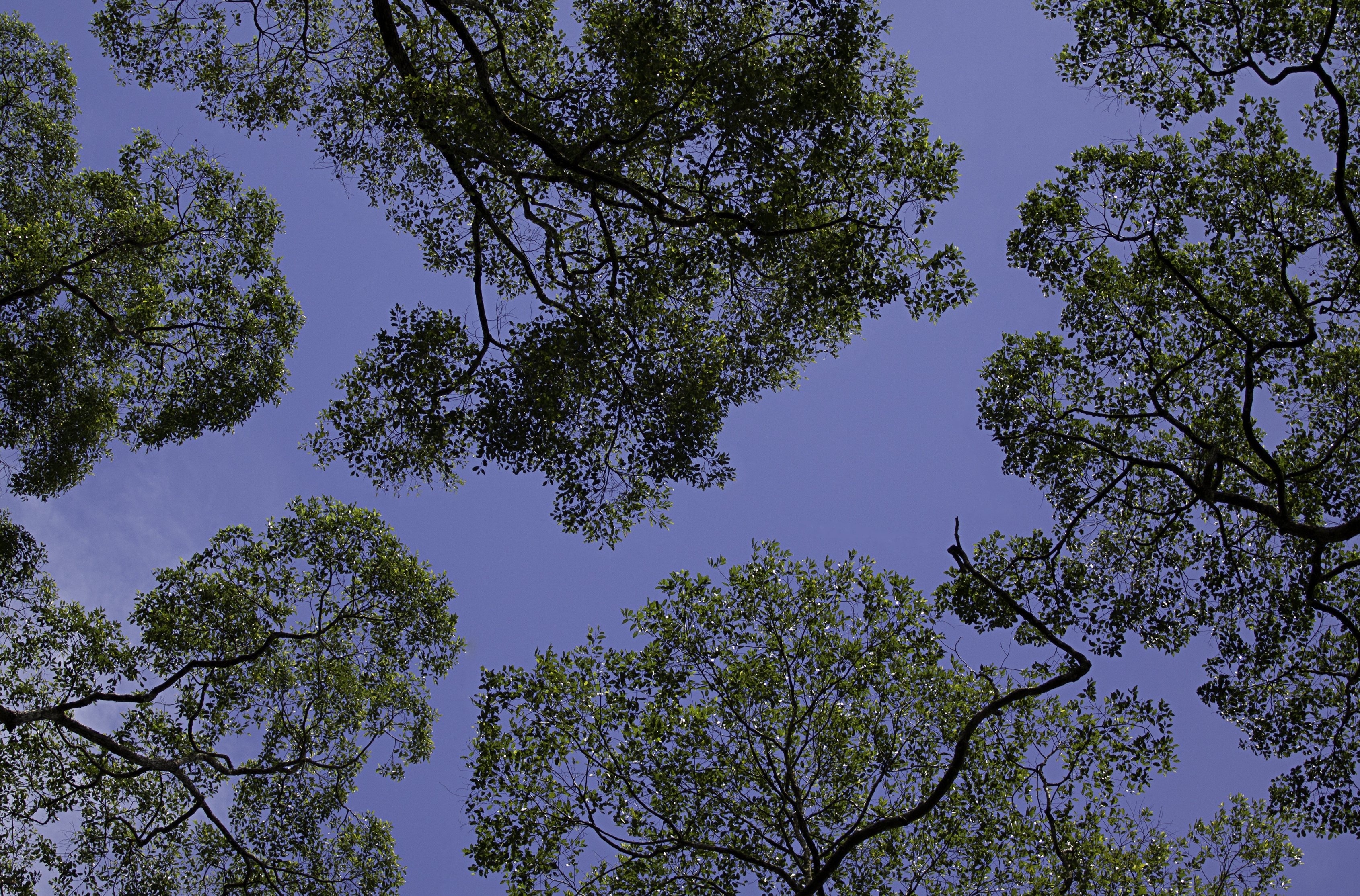
In biology, the canopy is the aboveground portion of a plant cropping or crop, formed by the collection of individual plant crowns. In forest ecology, canopy also refers to the upper layer or habitat zone, formed by mature tree crowns and including other biological organisms ( epiphytes, lianas, arboreal animals, etc.). The communities that inhabit the canopy layer are thought to be involved in maintaining forest diversity, resilience, and functioning. Sometimes the term canopy is used to refer to the extent of the outer layer of leaves of an individual tree or group of trees. Shade trees normally have a dense canopy that blocks light from lower growing plants. Observation Early observations of canopies were made from the ground using binoculars or by examining fallen material. Researchers would sometimes erroneously rely on extrapolation by using more reachable samples taken from the understory. In some cases, they would use unconventional methods such as chairs susp ... [...More Info...] [...Related Items...] OR: [Wikipedia] [Google] [Baidu] |
Subtropics
The subtropical zones or subtropics are geographical and climate zones to the north and south of the tropics. Geographically part of the temperate zones of both hemispheres, they cover the middle latitudes from to approximately 35° north and south. The horse latitudes lie within this range. Subtropical climates are often characterized by hot summers and mild winters with infrequent frost. Most subtropical climates fall into two basic types: humid subtropical (Koppen climate Cfa), where rainfall is often concentrated in the warmest months, for example Southeast China and the Southeastern United States, and dry summer or Mediterranean climate (Koppen climate Csa/Csb), where seasonal rainfall is concentrated in the cooler months, such as the Mediterranean Basin or Southern California. Subtropical climates can also occur at high elevations within the tropics, such as in the southern end of the Mexican Plateau and in Da Lat of the Vietnamese Central Highlands. The six climate cl ... [...More Info...] [...Related Items...] OR: [Wikipedia] [Google] [Baidu] |
Serranía Del Aguaragüe
Serranía del Aguaragüe is the easternmost range of Bolivia's Cordillera Oriental. Serranía del Aguaragüe stretches out in a north–south fashion from the latitude of crossing the Bolivian departments of Tarija, Chuquisaca and Santa Cruz. Geologically it corresponds to the thrust front where the Andes meets the Bolivian Chaco. The range is largely uninhabited and vegetated by subtropical dry broadleaf forests. See also *Geography of Bolivia *Geology of Bolivia The geology of Bolivia comprises a variety of different lithologies as well as tectonic and sedimentary environments. On a synoptic scale, geological units coincide with topographical units. The country is divided into a mountainous western area a ... Mountain ranges of Bolivia Landforms of Santa Cruz Department (Bolivia) Landforms of Chuquisaca Department Landforms of Tarija Department {{bolivia-geo-stub ... [...More Info...] [...Related Items...] OR: [Wikipedia] [Google] [Baidu] |
Bolivia
, image_flag = Bandera de Bolivia (Estado).svg , flag_alt = Horizontal tricolor (red, yellow, and green from top to bottom) with the coat of arms of Bolivia in the center , flag_alt2 = 7 × 7 square patchwork with the (top left to bottom right) diagonals forming colored stripes (green, blue, purple, red, orange, yellow, white, green, blue, purple, red, orange, yellow, from top right to bottom left) , other_symbol = , other_symbol_type = Dual flag: , image_coat = Escudo de Bolivia.svg , national_anthem = " National Anthem of Bolivia" , image_map = BOL orthographic.svg , map_width = 220px , alt_map = , image_map2 = , alt_map2 = , map_caption = , capital = La Paz Sucre , largest_city = , official_languages = Spanish , languages_type = Co-official languages , languages ... [...More Info...] [...Related Items...] OR: [Wikipedia] [Google] [Baidu] |


