|
Caesio Lunaris
The lunar fusilier (''Caesio lunaris''), also known as the blue fusilier or moon fusilier, is a species of marine ray-finned fish, a fusilier belonging to the family Caesionidae. It is widespread throughout the tropical waters of the Indo-West Pacific area. Taxonomy The lunar fusilier was first formally described in 1830 by the French zoologist Georges Cuvier with the type locality given as New Ireland. This species has been placed in the subgenus ''Odontonectes''. The specific name ''lunaris'' means "of the moon", a name Cuvier attributed to Christian Gottfried Ehrenberg, the collector of the type), Cuvier being of the opinion that Ehrenberg gave it that name because of the row of scales on the neck which was in a crescent shape. Description The lunar fusilier has a moderately deep, fusiform body which is laterally compressed. There are small teeth in the jaws, the vomer and the palatines. There are 10 spines in the dorsal fin and 13-15, usually 14. soft rays while the ana ... [...More Info...] [...Related Items...] OR: [Wikipedia] [Google] [Baidu] |
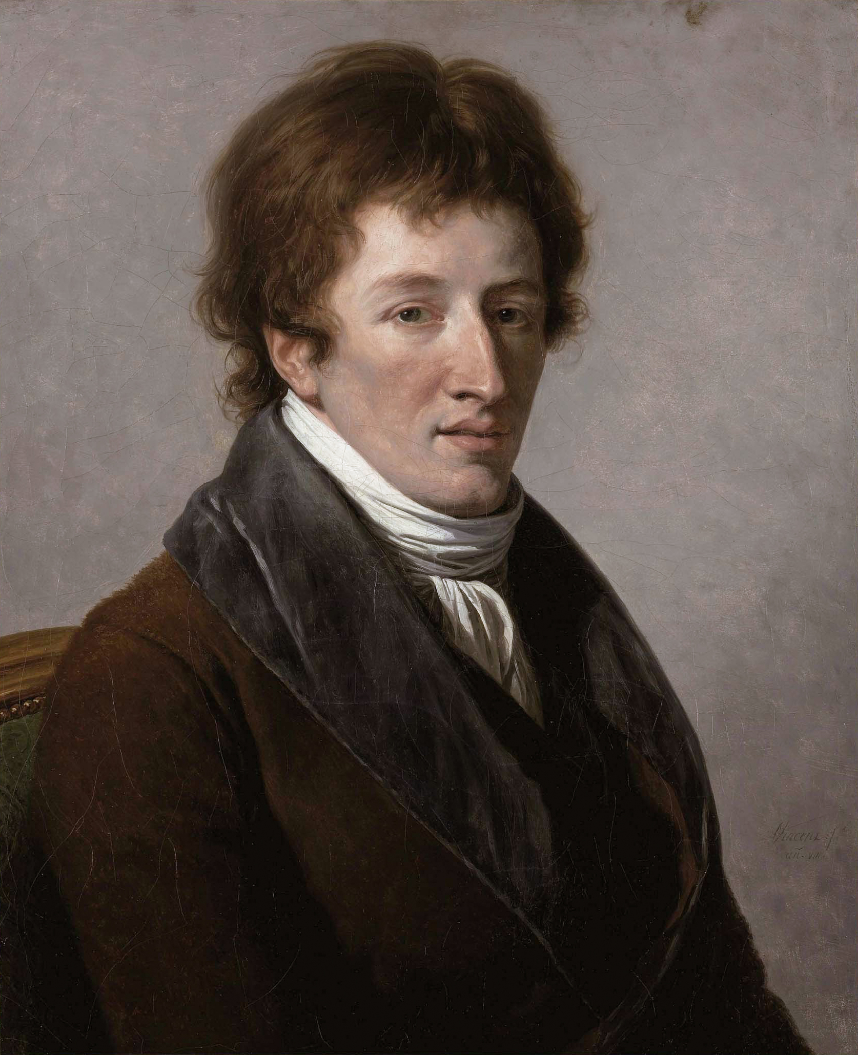
Georges Cuvier
Jean Léopold Nicolas Frédéric, Baron Cuvier (; 23 August 1769 – 13 May 1832), known as Georges Cuvier, was a French natural history, naturalist and zoology, zoologist, sometimes referred to as the "founding father of paleontology". Cuvier was a major figure in natural sciences research in the early 19th century and was instrumental in establishing the fields of comparative anatomy and paleontology through his work in comparing living animals with fossils. Cuvier's work is considered the foundation of vertebrate paleontology, and he expanded Linnaean taxonomy by grouping classes into phylum, phyla and incorporating both fossils and living species into the classification. Cuvier is also known for establishing extinction as a fact—at the time, extinction was considered by many of Cuvier's contemporaries to be merely controversial speculation. In his ''Essay on the Theory of the Earth'' (1813) Cuvier proposed that now-extinct species had been wiped out by periodic catastrophi ... [...More Info...] [...Related Items...] OR: [Wikipedia] [Google] [Baidu] |
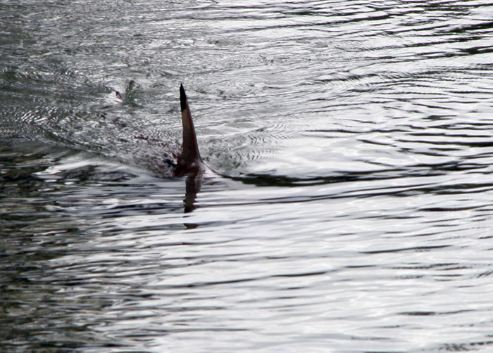
Dorsal Fin
A dorsal fin is a fin located on the back of most marine and freshwater vertebrates within various taxa of the animal kingdom. Many species of animals possessing dorsal fins are not particularly closely related to each other, though through convergent evolution they have independently evolved external superficial fish-like body plans adapted to their marine environments, including most numerously fish, but also mammals such as cetaceans (whales, dolphins, and porpoises), and even extinct ancient marine reptiles such as various known species of ichthyosaurs. Most species have only one dorsal fin, but some have two or three. Wildlife biologists often use the distinctive nicks and wear patterns which develop on the dorsal fins of large cetaceans to identify individuals in the field. The bony or cartilaginous bones that support the base of the dorsal fin in fish are called ''pterygiophores''. Functions The main purpose of the dorsal fin is to stabilize the animal against rollin ... [...More Info...] [...Related Items...] OR: [Wikipedia] [Google] [Baidu] |
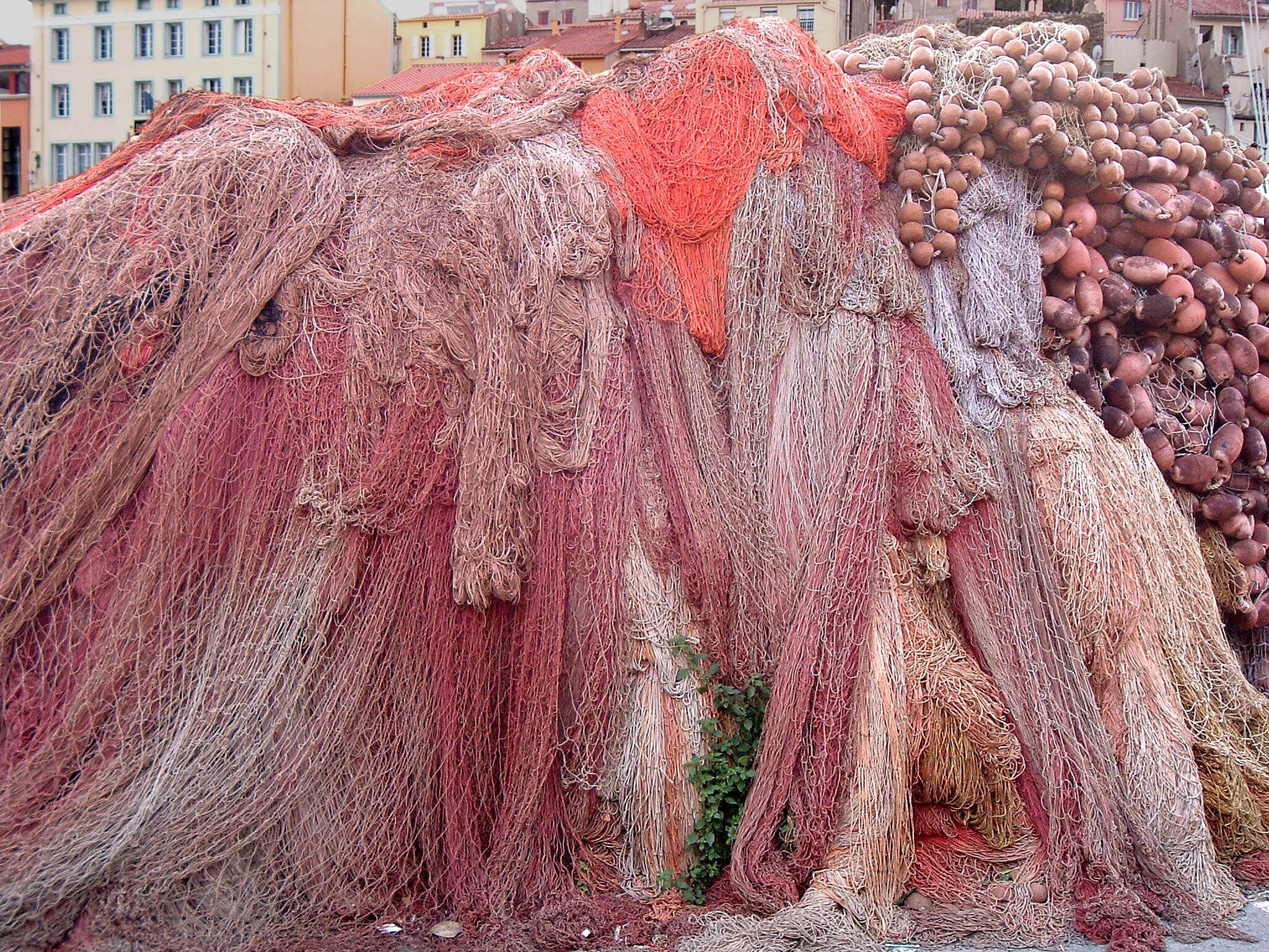
Drive-in Net
A fishing net is a net used for fishing. Nets are devices made from fibers woven in a grid-like structure. Some fishing nets are also called fish traps, for example fyke nets. Fishing nets are usually meshes formed by knotting a relatively thin thread. Early nets were woven from grasses, flaxes and other fibrous plant material. Later cotton was used. Modern nets are usually made of artificial polyamides like nylon, although nets of organic polyamides such as wool or silk thread were common until recently and are still used. History Fishing nets have been used widely in the past, including by stone age societies. The oldest known fishing net is the net of Antrea, found with other fishing equipment in the Karelian town of Antrea, Finland, in 1913. The net was made from willow, and dates back to 8300 BC. Recently, fishing net sinkers from 27,000 BC were discovered in Korea, making them the oldest fishing implements discovered, to date, in the world. The remnants of another f ... [...More Info...] [...Related Items...] OR: [Wikipedia] [Google] [Baidu] |
Caesio Cuning
''Caesio cuning'', the redbelly yellowtail fusilier, yellowtail fusilier, red-bellied fusilier or robust fusilier, is a species of marine ray-finned fish, a fusilier belonging to the family Caesionidae. It is native to the Indian and Western Pacific Oceans. Taxonomy ''Caesio cuning'' was first formally described in 1791 as ''Sparus cuning'' by the German zoologist Marcus Elieser Bloch with the type locality given as Indonesia. This species has been placed in the subgenus ''Odontonectes''. The specific name ''cuning'' is derived from the local Indonesian name ''ikan Tembra Cuning'', ''ikan'' means “fish”. Description ''Caesio cuning'' has a deep and laterally compressed body. The jaws, vomer, and palatines have small conical teeth. The dorsal and anal fins have scales; the dorsal fin has 10 spines and 14 to 16, typically 15, soft rays while the anal fin contains 3 spines and 10 to 12, usually 11, soft rays. The pectoral fins have 17 to 20 fin rays, normally 18 or 19. This ... [...More Info...] [...Related Items...] OR: [Wikipedia] [Google] [Baidu] |
New Caledonia
) , anthem = "" , image_map = New Caledonia on the globe (small islands magnified) (Polynesia centered).svg , map_alt = Location of New Caledonia , map_caption = Location of New Caledonia , mapsize = 290px , subdivision_type = Sovereign state , subdivision_name = , established_title = Annexed by France , established_date = 24 September 1853 , established_title2 = Overseas territory , established_date2 = 1946 , established_title3 = Nouméa Accord , established_date3 = 5 May 1998 , official_languages = French , regional_languages = , capital = Nouméa , coordinates = , largest_city = capital , demonym = New Caledonian , government_type = Devolved parliamentary dependency , leader_title1 = President of France , leader_name1 = Emmanuel Macron , leader_title2 = President of the Government , leader_name2 = Louis Mapou , leader_title3 = President of the Congress , leader_name3 = Roch Wamytan , leader_title4 = High Commissioner , leader_name4 = Patrice ... [...More Info...] [...Related Items...] OR: [Wikipedia] [Google] [Baidu] |
Marshall Islands
The Marshall Islands ( mh, Ṃajeḷ), officially the Republic of the Marshall Islands ( mh, Aolepān Aorōkin Ṃajeḷ),'' () is an independent island country and microstate near the Equator in the Pacific Ocean, slightly west of the International Date Line. Geographically, the country is part of the larger island group of Micronesia. The country's population of 58,413 people (at the 2018 World Bank Census) is spread out over five islands and 29 coral atolls, comprising 1,156 individual islands and islets. The capital and largest city is Majuro. It has the largest portion of its territory composed of water of any sovereign state, at 97.87%. The islands share maritime boundaries with Wake Island to the north, Kiribati to the southeast, Nauru to the south, and Federated States of Micronesia to the west. About 52.3% of Marshall Islanders (27,797 at the 2011 Census) live on Majuro. In 2016, 73.3% of the population were defined as being "urban". The UN also indicates a population d ... [...More Info...] [...Related Items...] OR: [Wikipedia] [Google] [Baidu] |
Persian Gulf
The Persian Gulf ( fa, خلیج فارس, translit=xalij-e fârs, lit=Gulf of Persis, Fars, ), sometimes called the ( ar, اَلْخَلِيْجُ ٱلْعَرَبِيُّ, Al-Khalīj al-ˁArabī), is a Mediterranean sea (oceanography), mediterranean sea in Western Asia. The body of water is an extension of the Indian Ocean located between Iran and the Arabian Peninsula.United Nations Group of Experts on Geographical NameWorking Paper No. 61, 23rd Session, Vienna, 28 March – 4 April 2006. accessed October 9, 2010 It is connected to the Gulf of Oman in the east by the Strait of Hormuz. The Shatt al-Arab river delta forms the northwest shoreline. The Persian Gulf has many fishing grounds, extensive reefs (mostly rocky, but also Coral reef, coral), and abundant pearl oysters, however its ecology has been damaged by industrialization and oil spills. The Persian Gulf is in the Persian Gulf Basin, which is of Cenozoic origin and related to the subduction of the Arabian Plate u ... [...More Info...] [...Related Items...] OR: [Wikipedia] [Google] [Baidu] |
KwaZulu-Natal
KwaZulu-Natal (, also referred to as KZN and known as "the garden province") is a province of South Africa that was created in 1994 when the Zulu bantustan of KwaZulu ("Place of the Zulu" in Zulu) and Natal Province were merged. It is located in the southeast of the country, with a long shoreline on the Indian Ocean and sharing borders with three other provinces and the countries of Mozambique, Eswatini and Lesotho. Its capital is Pietermaritzburg, and its largest city is Durban. It is the second-most populous province in South Africa, with slightly fewer residents than Gauteng. Two areas in KwaZulu-Natal have been declared UNESCO World Heritage Sites: the iSimangaliso Wetland Park and the uKhahlamba Drakensberg Park. These areas are extremely scenic as well as important to the surrounding ecosystems. During the 1830s and early 1840s, the northern part of what is now KwaZulu-Natal was established as the Zulu Kingdom while the southern part was, briefly, the Boer Natalia Repu ... [...More Info...] [...Related Items...] OR: [Wikipedia] [Google] [Baidu] |
Sodwana Bay
Sodwana Bay is a bay in South Africa on the KwaZulu Natal north coast, between St. Lucia and Lake Sibhayi. It is in the Sodwana Bay National Park, and the Maputaland Marine Reserve, and is a popular recreational diving destination. The term is commonly used to refer to both the marine reserve and the terrestrial park, as well as the geographical bay. Sodwana Bay National Park is a narrow strip of forested sand dunes located along the east coast. Proclaimed a national park in the 1950s, it is frequented by anglers and divers. Sodwana is situated in the Maputaland Marine Protected Area and is the only recreational scuba diving area along the Greater St Lucia Wetlands Park (now renamed to iSimangaliso) coastline. Classified as one of the top dive sites in the world, the park is visited by some 35 000 scuba divers per year. The bay is near the southern end of the tropical western Indo-Pacific marine ecoregion, and reef-building corals are present. The reef complex is the habitat of ... [...More Info...] [...Related Items...] OR: [Wikipedia] [Google] [Baidu] |
Red Sea
The Red Sea ( ar, البحر الأحمر - بحر القلزم, translit=Modern: al-Baḥr al-ʾAḥmar, Medieval: Baḥr al-Qulzum; or ; Coptic: ⲫⲓⲟⲙ ⲛ̀ϩⲁϩ ''Phiom Enhah'' or ⲫⲓⲟⲙ ⲛ̀ϣⲁⲣⲓ ''Phiom ǹšari''; Tigrinya: ቀይሕ ባሕሪ ''Qeyih Bahri''; ) is a seawater inlet of the Indian Ocean, lying between Africa and Asia. Its connection to the ocean is in the south, through the Bab el Mandeb strait and the Gulf of Aden. To its north lie the Sinai Peninsula, the Gulf of Aqaba, and the Gulf of Suez (leading to the Suez Canal). It is underlain by the Red Sea Rift, which is part of the Great Rift Valley. The Red Sea has a surface area of roughly 438,000 km2 (169,100 mi2), is about 2250 km (1398 mi) long, and — at its widest point — 355 km (220.6 mi) wide. It has an average depth of 490 m (1,608 ft), and in the central ''Suakin Trough'' it reaches its maximum depth of . The Red Sea also has exten ... [...More Info...] [...Related Items...] OR: [Wikipedia] [Google] [Baidu] |
Pelvic Fin
Pelvic fins or ventral fins are paired fins located on the ventral surface of fish. The paired pelvic fins are homologous to the hindlimbs of tetrapods. Structure and function Structure In actinopterygians, the pelvic fin consists of two endochondrally-derived bony girdles attached to bony radials. Dermal fin rays (lepidotrichia) are positioned distally from the radials. There are three pairs of muscles each on the dorsal and ventral side of the pelvic fin girdle that abduct and adduct the fin from the body. Pelvic fin structures can be extremely specialized in actinopterygians. Gobiids and lumpsuckers modify their pelvic fins into a sucker disk that allow them to adhere to the substrate or climb structures, such as waterfalls. In priapiumfish, males have modified their pelvic structures into a spiny copulatory device that grasps the female during mating. File:Pelvic fin skeleton.png, Pelvic fin skeleton for ''Danio rerio'', zebrafish. File:Zuignap waarmee de zwartbekgrond ... [...More Info...] [...Related Items...] OR: [Wikipedia] [Google] [Baidu] |
Caudal Fin
Fins are distinctive anatomical features composed of bony spines or rays protruding from the body of a fish. They are covered with skin and joined together either in a webbed fashion, as seen in most bony fish, or similar to a flipper, as seen in sharks. Apart from the tail or caudal fin, fish fins have no direct connection with the spine and are supported only by muscles. Their principal function is to help the fish swim. Fins located in different places on the fish serve different purposes such as moving forward, turning, keeping an upright position or stopping. Most fish use fins when swimming, flying fish use pectoral fins for gliding, and frogfish use them for crawling. Fins can also be used for other purposes; male sharks and mosquitofish use a modified fin to deliver sperm, thresher sharks use their caudal fin to stun prey, reef stonefish have spines in their dorsal fins that inject venom, anglerfish use the first spine of their dorsal fin like a fishing rod to lu ... [...More Info...] [...Related Items...] OR: [Wikipedia] [Google] [Baidu] |


.png)