|
Caereinion
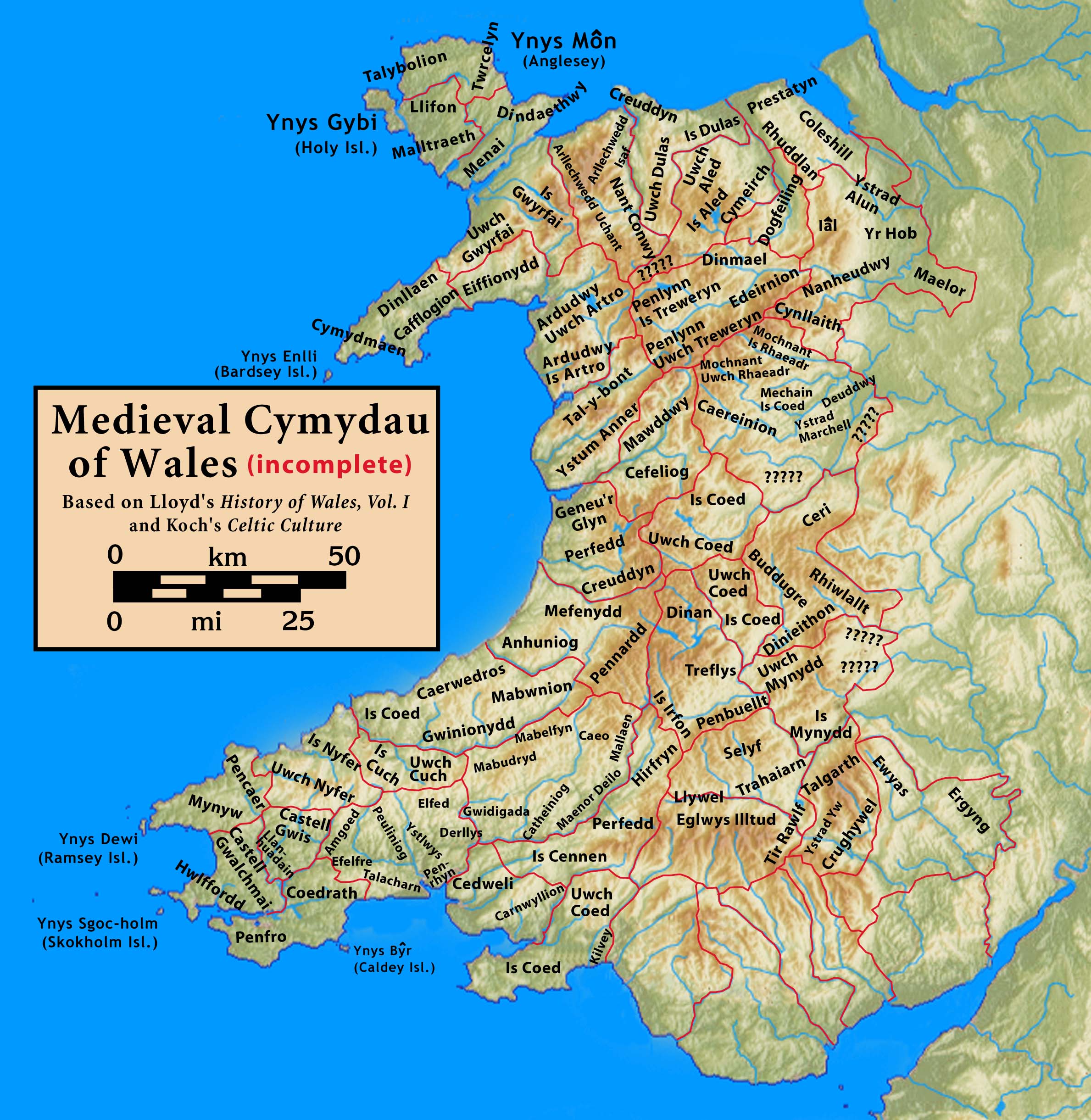
Caereinion (fort of Einion) was a medieval cantref in the Kingdom of Powys, or possibly it was a commote (''cwmwd'') within a cantref called Llŷs Wynaf. It was divided into the manors of Uwch Coed and Is Coed. It lay towards the south of the kingdom, bordering with the commote of Mochnant Uwch Rhaeadr of the cantref of Mochnant and the cantref of Mechain to the north, the commotes of Ystrad Marchell and Llanerch Hudol in the cantref of Ystlyg to the east, the cantrefi of Cedewain to the south and Cyfeiliog to the west. It roughly corresponds to the later hundred of Mathrafal. Castle Caereinion, Caereinion Fechan, Llanfair Caereinion, Llanerfyl, Llangadfan, Llangyniew and part of Berriew Berriew ( cy, Aberriw) is a village and community in Montgomeryshire, Powys, Wales. It is on the Montgomeryshire Canal and the Afon Rhiw, near the confluence (Welsh: ''aber'') with the River Severn (Welsh: Afon Hafren) at , 79 miles (128 k ... are within the territory of this cant ... [...More Info...] [...Related Items...] OR: [Wikipedia] [Google] [Baidu] |
Llanfair Caereinion
Llanfair Caereinion is a market town and community in Montgomeryshire, Powys, Wales upon the River Banwy (also known as the River Einion), around 8 miles west of Welshpool. In 2011 the ward had a population of 1,810; the town itself had a population of 1,055 according to Nomis. History Its name is a combination of Welsh ' "church" + ' "Mary" and ' "fort" + ', a personal name, meaning "the church of Mary tthe fort of Einion". The town is built upon the site of an old Roman fort. The site of the Battle of Maes Moydog (1295) is nearby. In 1758 the town was almost completely wiped out by a major fire. Geography The town is close to Welshpool and not far away are the towns of Machynlleth and Llanfyllin. The town acts as a major centre for a lot of scattered hamlets and villages around the community. The electorate of the community only places it fourteenth in the rank of the county's eighteen towns. Llanfair Caereinion is classified as an area centre in the Powys Unitary Develo ... [...More Info...] [...Related Items...] OR: [Wikipedia] [Google] [Baidu] |
Castle Caereinion
Castle Caereinion ( Welsh: ''Castell Caereinion'') is a small village and community in Montgomeryshire, Powys, Wales upon the River Banwy, around 8 miles west of Welshpool, and 4 miles east of Llanfair Caereinion. In 2011 the ward had a population of 1810. The community had a population of 592. Castle Caereinion railway station is on the Welshpool and Llanfair Light Railway. The community includes the hamlet of Cyfronydd. The village is named after an ancient castle. The castle was built in 1156 by Madog ap Maredudd. Madog's nephew Owain Cyfeiliog swore allegiance to the English, Owain Gwynedd took the castle from him and destroyed it in about 1167. It has been suggested that a mound in the churchyard of St Garmon's is the remains of the earthwork castle. This mound is known as Twmpath Garmon, so it could be a preaching mound (as in Llanfechain). The most recent view is that the mound does not appear motte-like and a survey in 2002 failed to find a surrounding ditch. Tŷ Maw ... [...More Info...] [...Related Items...] OR: [Wikipedia] [Google] [Baidu] |
Berriew
Berriew ( cy, Aberriw) is a village and community in Montgomeryshire, Powys, Wales. It is on the Montgomeryshire Canal and the Afon Rhiw, near the confluence (Welsh: ''aber'') with the River Severn (Welsh: Afon Hafren) at , 79 miles (128 km) from Cardiff and 151 miles (243 km) from London. The village itself had a population of 283. and the community also includes Garthmyl Hall and Refail. Buildings and architecture Berriew contains many architecturally important buildings. There are 103 Listed Buildings in Berriew of which 5 are Grade II*. Nearly a quarter of the listed building are connected with the Montgomeryshire Canal which runs across the parish to the S.E. of Berriew. The most important of the listed buildings are Vaynor, which is probably the earliest brick built house of the mid-17th. century still standing in Montgomeryshire, and Glansevern, designed by the notable Shrewsbury architect Joseph Bromfield in the Greek Revival style and probably the best exa ... [...More Info...] [...Related Items...] OR: [Wikipedia] [Google] [Baidu] |
Llanerchydol
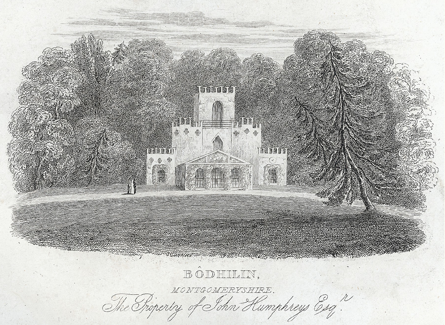
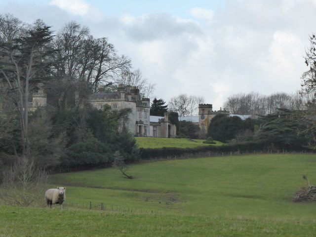
Llanerchydol is a settlement on the A458 about 2 km west of the centre of Welshpool in the county of Powys in Wales. It is part of the community of Welshpool and also lends its name to an electoral ward. Llanerchydol Hall Llanerchydol Hall, a Grade II* Listed Building, is located in parkland between the A458 to Llanfair Caereinion and A490 to Llanfyllin. The Hall is a fine and largely intact early 19th-century picturesque Gothic Revival style house, with well preserved park and gardens. The site has a long history of occupation, including a Tudor house which burnt down in about 1776, after which David Pugh, a local man who made a fortune selling tea in London, bought the site and built a new house which became known as Llanerchydol Hall. David Pugh's great grand nephew, also named David Pugh, inherited Llanerchydol Hall and became a local politician. During the 136 years of Pugh ownership, the house underwent many adaptations, including the introduction of the fairy-tal ... [...More Info...] [...Related Items...] OR: [Wikipedia] [Google] [Baidu] |
Mathrafal
Mathrafal near Welshpool, in Powys, Mid Wales, was the seat of the Kings and Princes of Kingdom of Powys, Powys probably from the 9th century until its destruction in 1213 by Prince Llywelyn ap Iorwerth, Llywelyn the Great. Location On the banks of the River Banwy, just above its confluence with the river Vyrnwy, about 5 km (3 miles) NE of Llanfair Caereinion and 10 km (6 miles) NW of Welshpool on the A495 road, A495 at its junction with the B4389. Description The site known today as "Mathrafal Castle" is a 90 m by 80 m compound defended by a bank and outer ditch on three sides, the fourth side being the river. Little remains of the original walls. Mathrafal is the original capital of the Kingdom of Powys, in the cantref of Caereinion. After the division of Powys in 1160 it became the capital of the southern portion which eventually became known as Powys Wenwynwyn. This structure probably replaced an earlier hill fort, about 1 km away to the NW, which dat ... [...More Info...] [...Related Items...] OR: [Wikipedia] [Google] [Baidu] |
Cantrefi
A cantref ( ; ; plural cantrefi or cantrefs; also rendered as ''cantred'') was a medieval Welsh land division, particularly important in the administration of Welsh law. Description Land in medieval Wales was divided into ''cantrefi'', which were themselves divided into smaller ''cymydau'' (commotes). The word ''cantref'' is derived from ''cant'' ("a hundred") and ''tref'' ("town" in modern Welsh, but formerly used for much smaller settlements). The ''cantref'' is thought to be the original unit, with the commotes being a later division. ''Cantrefi'' could vary considerably in size: most were divided into two or three commotes, but the largest, the ''Cantref Mawr'' (or "Great Cantref") in Ystrad Tywi (now in Carmarthenshire) was divided into seven commotes. History The antiquity of the ''cantrefi'' is demonstrated by the fact that they often mark the boundary between dialects. Some were originally kingdoms in their own right; others may have been artificial units created later ... [...More Info...] [...Related Items...] OR: [Wikipedia] [Google] [Baidu] |
Cantref
A cantref ( ; ; plural cantrefi or cantrefs; also rendered as ''cantred'') was a medieval Welsh land division, particularly important in the administration of Welsh law. Description Land in medieval Wales was divided into ''cantrefi'', which were themselves divided into smaller ''cymydau'' (commotes). The word ''cantref'' is derived from ''cant'' ("a hundred") and ''tref'' ("town" in modern Welsh, but formerly used for much smaller settlements). The ''cantref'' is thought to be the original unit, with the commotes being a later division. ''Cantrefi'' could vary considerably in size: most were divided into two or three commotes, but the largest, the ''Cantref Mawr'' (or "Great Cantref") in Ystrad Tywi (now in Carmarthenshire) was divided into seven commotes. History The antiquity of the ''cantrefi'' is demonstrated by the fact that they often mark the boundary between dialects. Some were originally kingdoms in their own right; others may have been artificial units created later. ... [...More Info...] [...Related Items...] OR: [Wikipedia] [Google] [Baidu] |
Llangyniew
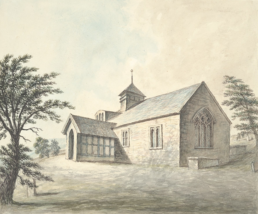
Llangynyw (also Llangyniew) is a hamlet and community in Montgomeryshire, Powys, mid Wales. It is located on a hill inside a bend in the River Banwy, approximately two miles north-east of Llanfair Caereinion. The community includes the hamlet of Pontrobert. The focus of the hamlet is the Parish Church of St. Cynyw, which dates from between 1450 and 1500 and is a Grade II* listed building. The parish of Llangynyw had a population of 551 when the 1801 census was taken, 430 in 1901 Events January * January 1 – The British colonies of New South Wales, Queensland, South Australia, Tasmania, Victoria and Western Australia federate as the Commonwealth of Australia; Edmund Barton becomes the first Prime Minist ..., and 295 in 1971, increasing back to 582 at the 2011 census. Pentre Camp, an Iron Age hillfort, is near the hamlet. References External linksLlangyniew Community Council website [...More Info...] [...Related Items...] OR: [Wikipedia] [Google] [Baidu] |
Llangadfan
Llangadfan is a small village in Powys, Wales, based in the community of Banwy. The village lies on the A458 between Foel and Llanerfyl, from Llanwddyn. Dyfnant Forest is located nearby. The village is said to be known for its country dances. Geography Llangadfan is a village (area of ) and a parish, which lies on the banks of the River Vyrnwy and extends into the Banwy River and Nant-yn-Eira stream. Llanfyllin railway station (now closed) is to its north-east and Llanfair is away to its east-south-east. The pub here is known as "Cann Office Hotel". Climate The lowest average temperature recorded is in January and the average maximum is during August. The average annual rainfall is with a maximum monthly average of in December and lowest average of in June. Notable landmarks Llangadfan is home to St Cadfan's church, a medieval church whose original features have been obscured by a 19th century restoration. The church was originally said to have been established by ... [...More Info...] [...Related Items...] OR: [Wikipedia] [Google] [Baidu] |
Cyfeiliog
Cyfeiliog was a medieval commote in the cantref of Cynan of the Kingdom of Powys. Cynan also contained the commote of Mawddwy. Other sources refer to Cyfeiliog as a cantref in its own right, possibly as a result of Cynan's being renamed for the largest commote within it. It bordered the cantrefi of Penllyn in the north, Caereinion in the east and Arwystli in the south-east. Its border in the north-east was with the cantref of Meirionydd in the Kingdom of Gwynedd, and its south-east border was with the cantref of Penweddig in the Kingdom of Ceredigion. After the death of Madog ap Maredudd, the last Prince of the whole of Powys, and his eldest son and heir in 1160, the kingdom was divided up between his surviving sons Gruffydd Maelor, Owain Fychan and Owain Brogyntyn, his nephew Owain Cyfeiliog and his half-brother Iorwerth Goch. Cyfeiliog was inherited by Owain Cyfeiliog. He joined the Welsh alliance under Owain Gwynedd to resist the invasion of Henry II in 1165, but he changed ... [...More Info...] [...Related Items...] OR: [Wikipedia] [Google] [Baidu] |
Cedewain
Cedewain (or Cydewain) was a medieval cantref in the Kingdom of Powys. It possibly consisted of the commotes (''cymydau'') of Cynan, Hafren and Uwch Hanes. Other sources give the commotes as Cedewain, Eginlle and Ceri. It lay at the south of the kingdom, bordering with the cantrefi of Caereinion and Ystlyg to the north across the river Rhiw, and the cantrefi of Arwystli (subject to disputes between Powys and Gwynedd) and Maelienydd (originally an independent kingdom) to the south. Its easterly border, which was the River Severn, faced England. Bettws Cedewain takes its name from the cantref. The lords of Cedewain resided at Dolforwyn Castle. Maredudd ap Rhobert was Lord of Cedewain and Chief Counsellor of Wales when he died in 1244 after joining the religious order at Strata Florida Abbey. Knighton was attacked by 'the lords of Ceri and Cydewain' in 1260, but the following year saw the death of Owain ap Maredudd, Lord of Cydewain, nephew of Maredudd ap Rhobert. In early 1278, h ... [...More Info...] [...Related Items...] OR: [Wikipedia] [Google] [Baidu] |
Ystrad Marchell
Ystrad Marchell sometimes Strad Marchell ( en, Vale of Marchell) was a medieval commote (''cwmwd'') in the cantref of Ystlyg in the Kingdom of Powys. It roughly coincides with the parish of Welshpool. It lay at the east of the kingdom, bordering the cantref of Caereinion to the west and south, and the cantref of Mechain to the north-west. Within Ystlyg the other commotes were Deuddwr to the north, Llannerch Hudol to the south and Y Gorddwr (or Corddwr) to the east. The cantref of Ystlyg (excluding Y Gorddwr) corresponds to the later hundred of Deuddwr. Ystrad Marchell was founded by or named for Marchell, a sister of the fifth or sixth century saint Tyfrydog. She was also a saint and is associated with Capel Marchell near Llanrwst, and Ffynnon Farchell ( en, Well of St Marcella) and St Marcella's Parish Church (formerly Llanfarchell) in Eglwys Wen near Denbigh. The valley of Ystrad Marchell is the site of the medieval Cistercian monastery of Strata Marcella (Latinised form of ... [...More Info...] [...Related Items...] OR: [Wikipedia] [Google] [Baidu] |




_Cantrefi_a_Chymydau_Cymru.jpg)
