|
Blue Ash, Ohio
Blue Ash is a city in Hamilton County, Ohio. An inner suburb of Cincinnati, the population was 12,114 at the time of the 2010 census. History The area that is now Blue Ash was settled around 1791. In 1797, the first settlers built Carpenter's Run Baptist Church out of blue ash logs, giving the area its eventual name. In the late 19th century, the Cincinnati, Lebanon and Northern Railway provided narrow gauge commuter rail service to Blue Ash. Blue Ash was the site of Cincinnati–Blue Ash Airport from 1921 to 2012. Originally a private airfield called Grisard Field, it was sold to the City of Cincinnati in 1946, becoming Ohio's first municipal airport. Cincinnati desired to expand the airport for major commercial service through the 1950s, but Blue Ash fought the city by incorporating first as a village in 1955 and then as a city in 1961. Eventually, through Reed Hartman's Community Improvement Corporation, Cincinnati developed the surrounding area as an industrial park and gol ... [...More Info...] [...Related Items...] OR: [Wikipedia] [Google] [Baidu] |
|
 |
City
A city is a human settlement of notable size.Goodall, B. (1987) ''The Penguin Dictionary of Human Geography''. London: Penguin.Kuper, A. and Kuper, J., eds (1996) ''The Social Science Encyclopedia''. 2nd edition. London: Routledge. It can be defined as a permanent and densely settled place with administratively defined boundaries whose members work primarily on non-agricultural tasks. Cities generally have extensive systems for housing, transportation, sanitation, utilities, land use, production of goods, and communication. Their density facilitates interaction between people, government organisations and businesses, sometimes benefiting different parties in the process, such as improving efficiency of goods and service distribution. Historically, city-dwellers have been a small proportion of humanity overall, but following two centuries of unprecedented and rapid urbanization, more than half of the world population now lives in cities, which has had profound consequ ... [...More Info...] [...Related Items...] OR: [Wikipedia] [Google] [Baidu] |
|
Fraxinus Quadrangulata
''Fraxinus quadrangulata'', the blue ash, is a species of ash native primarily to the Midwestern United States from Oklahoma to Michigan, as well as the Bluegrass region of Kentucky and the Nashville Basin region of Tennessee. Isolated populations exist in Alabama, Southern Ontario, and small sections of the Appalachian Mountains. It is typically found over calcareous substrates such as limestone, growing on limestone slopes and in moist valley soils, at elevations of 120–600 m.Virtual Herbarium of the Chicago Region''Fraxinus quadrangulata''Oklahoma Biological Survey Description Blue ash is a medium sized deciduous tree typically reaching a height of 10–25 m with a trunk 50–100 cm diameter. The twigs typically have four corky ridges, a distinctive feature giving them a square appearance (in cross-section), hence the species name, ''quadrangulata'', meaning four-angled. The winter buds are reddish-brown. The leaves are 20–38 cm long, with 5–11 (most often 7) ... [...More Info...] [...Related Items...] OR: [Wikipedia] [Google] [Baidu] |
|
.jpg) |
Interstate 275 (Ohio–Indiana–Kentucky)
Interstate 275 (I-275) is an highway in Ohio, Indiana, and Kentucky that forms a complete beltway around the Cincinnati metropolitan area and includes a part in a state (Indiana) not entered by the parent route. It had been the only auxiliary Interstate that enters three states, but that changed in July 2018 when I-295 in Delaware and New Jersey was extended into Pennsylvania. It is the longest beltway with an Interstate highway designation in the United States, enclosing an area of over . It is also the third longest beltway overall in the United States—only the Sam Houston Tollway and the Grand Parkway encircling Greater Houston are longer. For a short distance in northwest Hamilton County, it overlaps with I-74 and US Route 52 (US 52). I-275 is also known as the Cincinnati Bypass and officially known as the Donald H. Rolf Circle Freeway in Ohio, after a state senator, but locals rarely use these names, instead simply referring to it as "275" or "the ... [...More Info...] [...Related Items...] OR: [Wikipedia] [Google] [Baidu] |
_between_Cincinnati_and_Louisville.jpg) |
Interstate 71 In Ohio
Interstate 71 (I-71) is a north–south Interstate Highway in the Great Lakes/Midwestern and Southeastern region of the United States. Its southern terminus is at an interchange with I-64 and I-65 (the Kennedy Interchange) in Louisville, Kentucky, and its northern terminus at an interchange with I-90 in Cleveland, Ohio. I-71 runs concurrently with I-75 from a point about south of Cincinnati, Ohio, into Downtown Cincinnati. While most odd numbered Interstates are north–south, I-71 however is designated more of a northeast–southwest highway, with some east–west sections, and is mainly a regional route, serving Kentucky and Ohio. It links I-80 and I-90 to I-70, and ultimately (via I-65) links to I-40. Major metropolitan areas served by I-71 include Louisville, Cincinnati, Columbus, and Cleveland. Approximately three quarters of the route lie east of I-75, leaving I-71 out of place in the Interstate grid. Route description , - , KY , , - , OH , , - , Total , ... [...More Info...] [...Related Items...] OR: [Wikipedia] [Google] [Baidu] |
 |
April 1999 Cincinnati Tornado
April is the fourth month of the year in the Gregorian and Julian calendars. It is the first of four months to have a length of 30 days, and the second of five months to have a length of less than 31 days. April is commonly associated with the season of autumn in parts of the Southern Hemisphere, and spring in parts of the Northern Hemisphere, where it is the seasonal equivalent to October in the Southern Hemisphere and vice versa. History The Romans gave this month the Latin name '' Aprilis''"April" in '' Chambers's Encyclopædia''. London: George Newnes, 1961, Vol. 1, p. 497. but the derivation of this name is uncertain. The traditional etymology is from the verb ''aperire'', "to open", in allusion to its being the season when trees and flowers begin to "open", which is supported by comparison with the modern Greek use of άνοιξη (''ánixi'') (opening) for spring. Since some of the Roman months were named in honor of divinities, and as April was sa ... [...More Info...] [...Related Items...] OR: [Wikipedia] [Google] [Baidu] |
 |
Cincinnati/Northern Kentucky International Airport
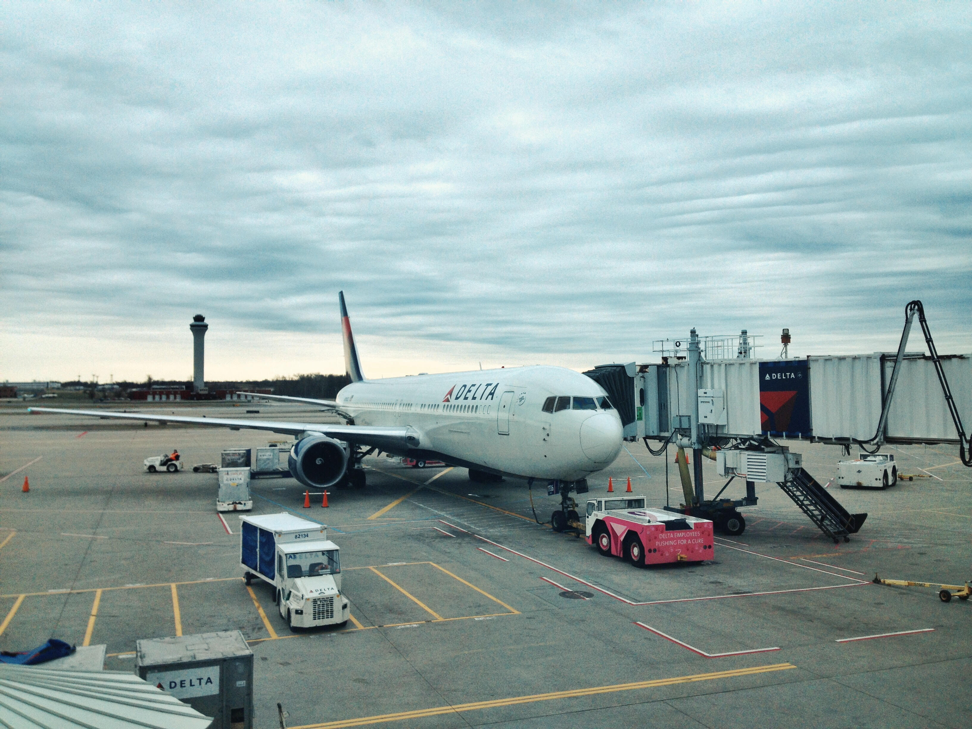
Cincinnati/Northern Kentucky International Airport is a public international airport located in Hebron, Kentucky, United States. It serves the Cincinnati tri-state area. The airport's code, CVG, is derived from the nearest city at the time of its opening, Covington, Kentucky. CVG covers an area of . Currently, Cincinnati/Northern Kentucky International Airport offers non-stop passenger service to over 50 destinations in North America and Europe. The airport is a global hub for Amazon Air, Atlas Air, ABX Air, Kalitta Air, and DHL Aviation, handling numerous domestic and international cargo flights every day. CVG is currently the 7th busiest airport in the United States by cargo traffic, and is additionally the fastest-growing cargo airport in North America. History Beginnings President Franklin D. Roosevelt approved preliminary funds for site development of the Greater Cincinnati Airport on February 11, 1942. This was part of the United States Army Air Corps program to ... [...More Info...] [...Related Items...] OR: [Wikipedia] [Google] [Baidu] |
 |
Kings Island
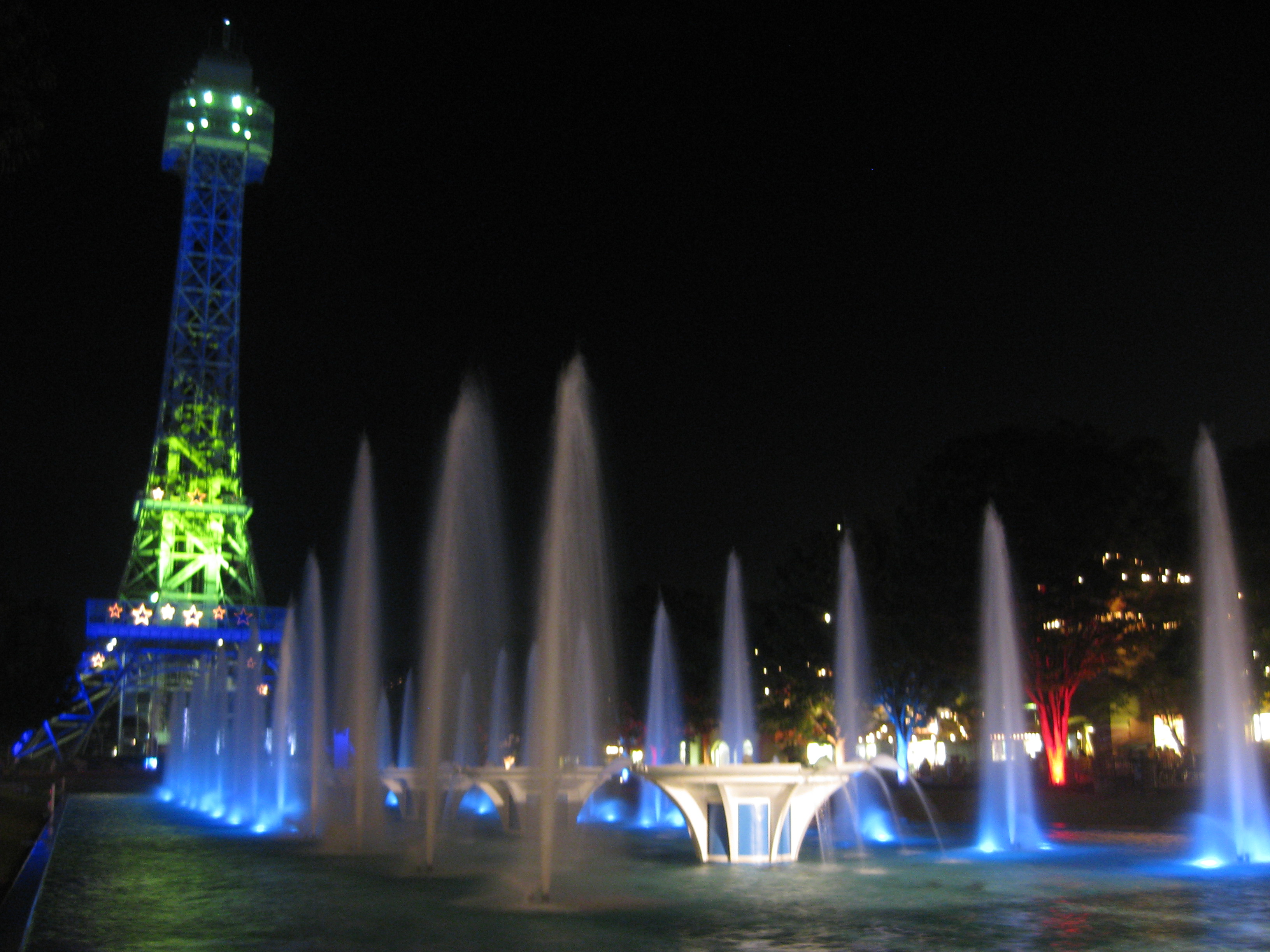
Kings Island is a amusement park located northeast of Cincinnati in Mason, Ohio, United States. Owned and operated by Cedar Fair, the park first opened in 1972 by the Taft Broadcasting Company. It was part of a larger effort to move and expand Coney Island, a popular resort destination along the banks of the Ohio River that was prone to frequent flooding. After more than $300 million in capital investments, the park features over 100 attractions including fourteen roller coasters and a water park. Early in its history, Kings Island appeared in popular sitcoms and received widespread recognition for its record-breaking attractions and events. One of the park's most well-known attractions, The Racer, is often credited with reviving worldwide interest in roller coasters during the 1970s. The Beast and Banshee are among other attractions that have set world records, some of which are still held today. Kings Island's largest single investment is Orion, a giga coaster that o ... [...More Info...] [...Related Items...] OR: [Wikipedia] [Google] [Baidu] |
 |
Covington, Kentucky
Covington is a home rule-class city in Kenton County, Kentucky, United States, located at the confluence of the Ohio and Licking Rivers. Cincinnati, Ohio, lies to its immediate north across the Ohio and Newport, to its east across the Licking and Ludlow to its west. Covington had a population of 40,640 at the time of the 2010 U.S. census, making it the largest city of Northern Kentucky and the fifth-most populous city in the state.Covington, Kentucky QuickFacts U.S. Census Bureau. Retrieved March 11, 2013. It is one of its county's two seats, along with Independence. Name [...More Info...] [...Related Items...] OR: [Wikipedia] [Google] [Baidu] |
|
MetroMoves
MetroMoves was a 2002 proposal by the Southwest Ohio Regional Transit Authority (SORTA) to expand and improve public transportation in the greater Cincinnati metropolitan area. The 30-year vision included the addition of light rail lines, commuter rail lines, streetcars in the downtown area, and expanded bus routes. When put to a vote the citizens of Hamilton County rejected the proposal by nearly a 2-to-1 ratio, 68.4% to 31.6%. History Cincinnati transit planners began advocating light rail in 1993 when the Ohio-Kentucky-Indiana Regional Council of Governments (OKI) recommended a light rail feasibility study for the area along Interstate 71. In 1998 a solution was adopted to build a 19-mile rail line that stretched from Cooper Road in Blue Ash to 12th Street in Covington. The line would then form a backbone for subsequent rail lines to connect communities in the region. MetroMoves began in 2000 as a plan to improve the city's bus system, but it was expanded to include t ... [...More Info...] [...Related Items...] OR: [Wikipedia] [Google] [Baidu] |
|
 |
Southwest Ohio Regional Transit Authority
The Southwest Ohio Regional Transit Authority (SORTA) is the public transport agency serving Cincinnati and its Ohio suburbs. Headquartered in Cincinnati, Ohio, SORTA operates fixed-route buses, bus rapid transit, microtransit, and paratransit services. SORTA's headquarters are located in the Huntington Building in downtown Cincinnati. The agency is managed by CEO and General Manager Darryl Haley along with a 13-member board of trustees. In , the system had a ridership of , or about per weekday as of . Downtown Cincinnati is also served by the Transit Authority of Northern Kentucky (TANK), whose transit services extend over the Ohio River into Northern Kentucky. History SORTA replaced the Cincinnati Transit Commission, which operated buses from 1952 to 1973. In 2012 SORTA Metro released its schedule information in the General Transit Feed Specification, making schedules more easily available to customers. The Cincinnati Bell Connector was operated by SORTA until 2019; ... [...More Info...] [...Related Items...] OR: [Wikipedia] [Google] [Baidu] |
|
Cincinnati–Blue Ash Airport
Blue Ash Airport , also known as Cincinnati–Blue Ash Airport, was a public airport located in Blue Ash, Ohio, United States, but owned by the City of Cincinnati. Located northeast of downtown Cincinnati, it served as a general aviation reliever for the Cincinnati/Northern Kentucky International Airport. Established in 1921, the airfield was one of the first in operation in the United States, and it became Ohio's first municipal airport when Cincinnati purchased it in 1946. For decades, it was eyed as a potential future site for Cincinnati's primary commercial airport, spurring construction of Cross County Highway, but efforts to develop the site repeatedly failed. In the 1970s, much of the property around the airfield was converted into an industrial park and golf course. Cincinnati eventually sold about half of the remaining airfield to the City of Blue Ash and permanently closed the facility on August 29, 2012, despite local efforts to keep it operational. In 2017, Cincin ... [...More Info...] [...Related Items...] OR: [Wikipedia] [Google] [Baidu] |