|
2021–22 South-West Indian Ocean Cyclone Season
The 2021–22 South-West Indian Ocean cyclone season featured the record latest start for the first system to develop. Despite the late start, it was an above-average season that produced 12 named storms, with 5 becoming tropical cyclones. The season began on 15 November 2021, and ended on 30 April 2022, with the exception for Mauritius and the Seychelles, for which it ended on 15 May 2022. These dates conventionally delimit the period of each year when most tropical and subtropical cyclones form in the basin, which is west of 90°E and south of the Equator. However, tropical cyclones that form at any time between 1 July 2021 and 30 June 2022 will count towards the season total. Tropical and subtropical cyclones in this basin are monitored by the Regional Specialised Meteorological Centre in Réunion and unofficially by the Joint Typhoon Warning Center. __TOC__ Seasonal summary ImageSize = width:1070 height:225 PlotArea = top:10 bottom:80 right:20 left:20 Legend = columns ... [...More Info...] [...Related Items...] OR: [Wikipedia] [Google] [Baidu] |
Cyclone Batsirai
Intense Tropical Cyclone Batsirai was a deadly tropical cyclone which heavily impacted Madagascar in February 2022, becoming the strongest tropical cyclone to strike Madagascar since Cyclone Enawo in 2017. It made landfall two weeks after Tropical Storm Ana brought deadly floods to the island country in late January. The second tropical disturbance, the first tropical cyclone, and the first intense tropical cyclone of the 2021–22 South-West Indian Ocean cyclone season, Batsirai originated from a tropical disturbance that was first noted on 24 January 2022. It fluctuated in intensity and became a moderate tropical storm on 27 January 2022, after which it unexpectedly rapidly intensified into an intense tropical cyclone. It then weakened and struggled to intensify through the coming days due to present wind shear and dry air, where it weakened after some time. Afterward, it entered much more favorable conditions, rapidly intensified yet again to a high-end Category 4 cyclone on ... [...More Info...] [...Related Items...] OR: [Wikipedia] [Google] [Baidu] |
Zimbabwe
Zimbabwe (), officially the Republic of Zimbabwe, is a landlocked country located in Southeast Africa, between the Zambezi and Limpopo Rivers, bordered by South Africa to the south, Botswana to the south-west, Zambia to the north, and Mozambique to the east. The capital and largest city is Harare. The second largest city is Bulawayo. A country of roughly 15 million people, Zimbabwe has 16 official languages, with English, Shona language, Shona, and Northern Ndebele language, Ndebele the most common. Beginning in the 9th century, during its late Iron Age, the Bantu peoples, Bantu people (who would become the ethnic Shona people, Shona) built the city-state of Great Zimbabwe which became one of the major African trade centres by the 11th century, controlling the gold, ivory and copper trades with the Swahili coast, which were connected to Arab and Indian states. By the mid 15th century, the city-state had been abandoned. From there, the Kingdom of Zimbabwe was established, fol ... [...More Info...] [...Related Items...] OR: [Wikipedia] [Google] [Baidu] |
Malawi
Malawi (; or aláwi Tumbuka: ''Malaŵi''), officially the Republic of Malawi, is a landlocked country in Southeastern Africa that was formerly known as Nyasaland. It is bordered by Zambia to the west, Tanzania to the north and northeast, and Mozambique to the east, south and southwest. Malawi spans over and has an estimated population of 19,431,566 (as of January 2021). Malawi's capital (and largest city) is Lilongwe. Its second-largest is Blantyre, its third-largest is Mzuzu and its fourth-largest is its former capital, Zomba. The name ''Malawi'' comes from the Maravi, an old name for the Chewa people who inhabit the area. The country is nicknamed "The Warm Heart of Africa" because of the friendliness of its people. The part of Africa now known as Malawi was settled around the 10th century by migrating Bantu groups . Centuries later, in 1891, the area was colonised by the British and became a protectorate of the United Kingdom known as Nyasaland. In 1953, it became ... [...More Info...] [...Related Items...] OR: [Wikipedia] [Google] [Baidu] |
Angoche
Angoche is a district, city and municipality located in Nampula Province in north-eastern Mozambique. The district has limits in the North with Mogincual District, in the South with Larde District, to the east with the Indian Ocean and to the west with Mogovolas District. The principal town is Angoche. It is located 185 km from the provincial capital, Nampula City. History Arab Explorers Before the arrival of Vasco de Gama in 1498, and according to local oral tradition, the Archipelago of Angoche, made up of several islands, was inhabited by a community that was part of the Swahili, on the East African coast. The dominant groups in the region, the Anhapakhos, were members of the Shiraz family, which allegedly reached the islands of Angoche and Quiloa Island (in present-day Tanzania) whose sultans were also Shirazis, originating from the port of Shiraz, located on the Persian side of the Persian Gulf. One of the founders of the reigning family of the Sultanate of An ... [...More Info...] [...Related Items...] OR: [Wikipedia] [Google] [Baidu] |
Mozambique Channel
The Mozambique Channel (french: Canal du Mozambique, mg, Lakandranon'i Mozambika, pt, Canal de Moçambique) is an arm of the Indian Ocean located between the Southeast African countries of Madagascar and Mozambique. The channel is about long and across at its narrowest point, and reaches a depth of about off the coast of Mozambique. A warm current, the Mozambique Current, flows in a southward direction in the channel, leading into the Agulhas Current off the east coast of Southern Africa. Extent The International Hydrographic Organization (IHO) defines the limits of the Mozambique Channel as follows: ::''On the North.'' A line from the estuary of the River Rovuma () to Ras Habu, the northernmost point of Ile Grande Comore, the northernmost of the Comore (Comoro) Islands, to Cap d'Ambre (Cape Amber), the northern extremity of Madagascar (). ::''On the East.'' The west coast of Madagascar. ::''On the South.'' A line from Cap Sainte-Marie, the southern extremity of Mad ... [...More Info...] [...Related Items...] OR: [Wikipedia] [Google] [Baidu] |
Île Sainte-Marie
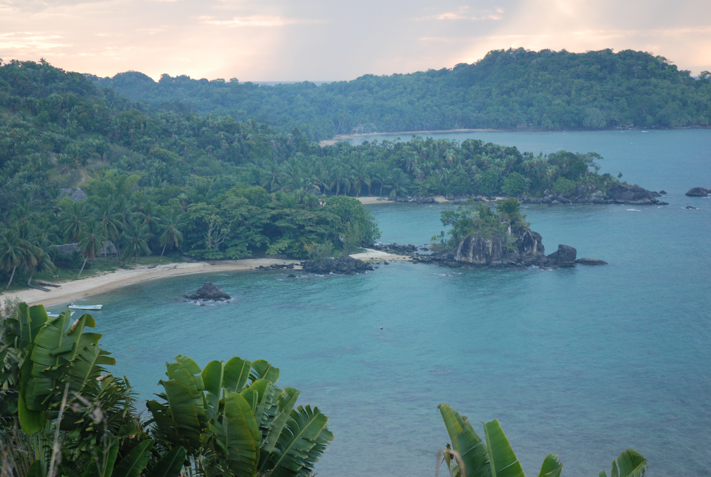
Nosy Boraha , previously known as Sainte-Marie, main town Ambodifotatra, is an island off the east coast of Madagascar. The island forms an administrative district within Analanjirofo Region, and covers an area of 222 km2. It has a population estimated at 30,000. Sainte-Marie Island is known for its authentic and preserved character, its whale watching, its beautiful beaches, its romantic history and the kindness of its inhabitants. Administration The island is organized as the city (''commune urbaine'') and district of Nosy Boraha in Analanjirofo Region. *1 town hall *17 fokontany (villages) *1 deputy Population The Betsimisaraka are the largest ethnic group on the island, though there had been a long history of mixed marriages, including with pirates in the 17th century. Transport infrastructure *1 international airport in the South (inaugurated 2015) *1 commercial port (Ilot Madame) *1 passenger port (Ambodifotatra) Ferries leave from Soanierana Ivongo and Mahambo, ... [...More Info...] [...Related Items...] OR: [Wikipedia] [Google] [Baidu] |
Toamasina
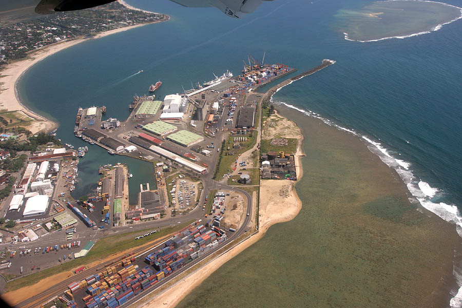
Toamasina (), meaning "like salt" or "salty", unofficially and in French Tamatave, is the capital of the Atsinanana region on the east coast of Madagascar on the Indian Ocean. The city is the chief seaport of the country, situated northeast of its capital and biggest city Antananarivo. In 2018 Toamasina had a population of 325,857. History Under French rule, Toamasina was the seat of several foreign consuls, as well as of numerous French officials, and was the chief port for the capital and the interior. Imports consisted principally of piece-goods, farinaceous foods, and iron and steel goods; main exports were gold dust, raffia, hides, caoutchouc (natural rubber) and live animals. Communication with Europe was maintained by steamers of the Messageries Maritimes and the Havraise companies, and also with Mauritius, and thence to Sri Lanka, by the British Union-Castle Line. During the colonial period, owing to the character of the soil and the formerly crowded native population, ... [...More Info...] [...Related Items...] OR: [Wikipedia] [Google] [Baidu] |
Météo-France
Météo-France is the French national meteorological service. Organisation The organisation was established by decree in June 1993 and is a department of the Ministry of Transportation. It is headquartered in Paris but many domestic operations have been decentralised to Toulouse. Its budget of around €300 million is funded by state grants, aeronautic royalties and sale of commercial services. Météo-France has a particularly strong international presence, and is the French representative at the World Meteorological Organization. The organisation is a leading member of EUMETSAT, responsible for the procurement of Meteosat weather satellites. It is also member of the Institut au service du spatial, de ses applications et technologies. It also a critical national weather service member of the ECMWF and hosts one of two major centres of the IFS numerical weather prediction model widely used worldwide. Worldwide In addition to its operations in metropolitan France, the agen ... [...More Info...] [...Related Items...] OR: [Wikipedia] [Google] [Baidu] |
Tropical Cyclogenesis
Tropical cyclogenesis is the development and strengthening of a tropical cyclone in the atmosphere. The mechanisms through which tropical cyclogenesis occurs are distinctly different from those through which temperate cyclogenesis occurs. Tropical cyclogenesis involves the development of a warm-core cyclone, due to significant convection in a favorable atmospheric environment. Tropical cyclogenesis requires six main factors: sufficiently warm sea surface temperatures (at least ), atmospheric instability, high humidity in the lower to middle levels of the troposphere, enough Coriolis force to develop a low-pressure center, a pre-existing low-level focus or disturbance, and low vertical wind shear. Tropical cyclones tend to develop during the summer, but have been noted in nearly every month in most basins. Climate cycles such as ENSO and the Madden–Julian oscillation modulate the timing and frequency of tropical cyclone development. There is a limit on tropical cyclone i ... [...More Info...] [...Related Items...] OR: [Wikipedia] [Google] [Baidu] |
Toliara
Toliara (also known as ''Toliary'', ; formerly ''Tuléar'') is a city in Madagascar. It is the capital of the Atsimo-Andrefana region, located 936 km southwest of national capital Antananarivo. The current spelling of the name was adopted in the 1970s, reflecting the orthography of the Malagasy language. Many geographic place names, assigned French spellings during the colonial period, were altered following Malagasy independence in 1960. The city has a population of 168,758 in 2018. As a port town it acts as a major import/export hub for commodities such as sisal, soap, hemp, cotton, rice and peanuts. History In the 17th century, French buccaneers landed in the bay of St. Augustine near the Tropic of Capricorn, and founded the city to maintain commercial relations. It was not until the colonial period, after 1897, when the city really grew: with the efforts of Joseph Gallieni to install French administrative services, previously isolated on the island of Nosy Ve, to f ... [...More Info...] [...Related Items...] OR: [Wikipedia] [Google] [Baidu] |
Zambezia Province
Zambezia ( pt, Zambézia) is the second most-populous province of Mozambique, located in the central coastal region south-west of Nampula Province and north-east of Sofala Province. It has a population of 5.11 million, according to the 2017 census. The provincial capital is Quelimane. Zambezia has a total area of 103,478 km2; much of it drained by the Zambezi River. Much of the coast consists of mangrove swamps, and there is considerable forest inland. Agricultural products include rice, maize, cassava, cashews, sugarcane, soybeans, coconuts, citrus, cotton, and tea. The country's largest tea estates are at Gurúè, while Lioma is a centre of soybean production. Fishing is especially productive of shrimp, and gemstones are mined at several sites. Vasco da Gama landed at the site of Quelimane in 1498. Shortly after, the Portuguese established a permanent presence, and many moved up the Zambezi into the interior, for many years the farthest inland European presence (although ... [...More Info...] [...Related Items...] OR: [Wikipedia] [Google] [Baidu] |


