|
Browse, Utah
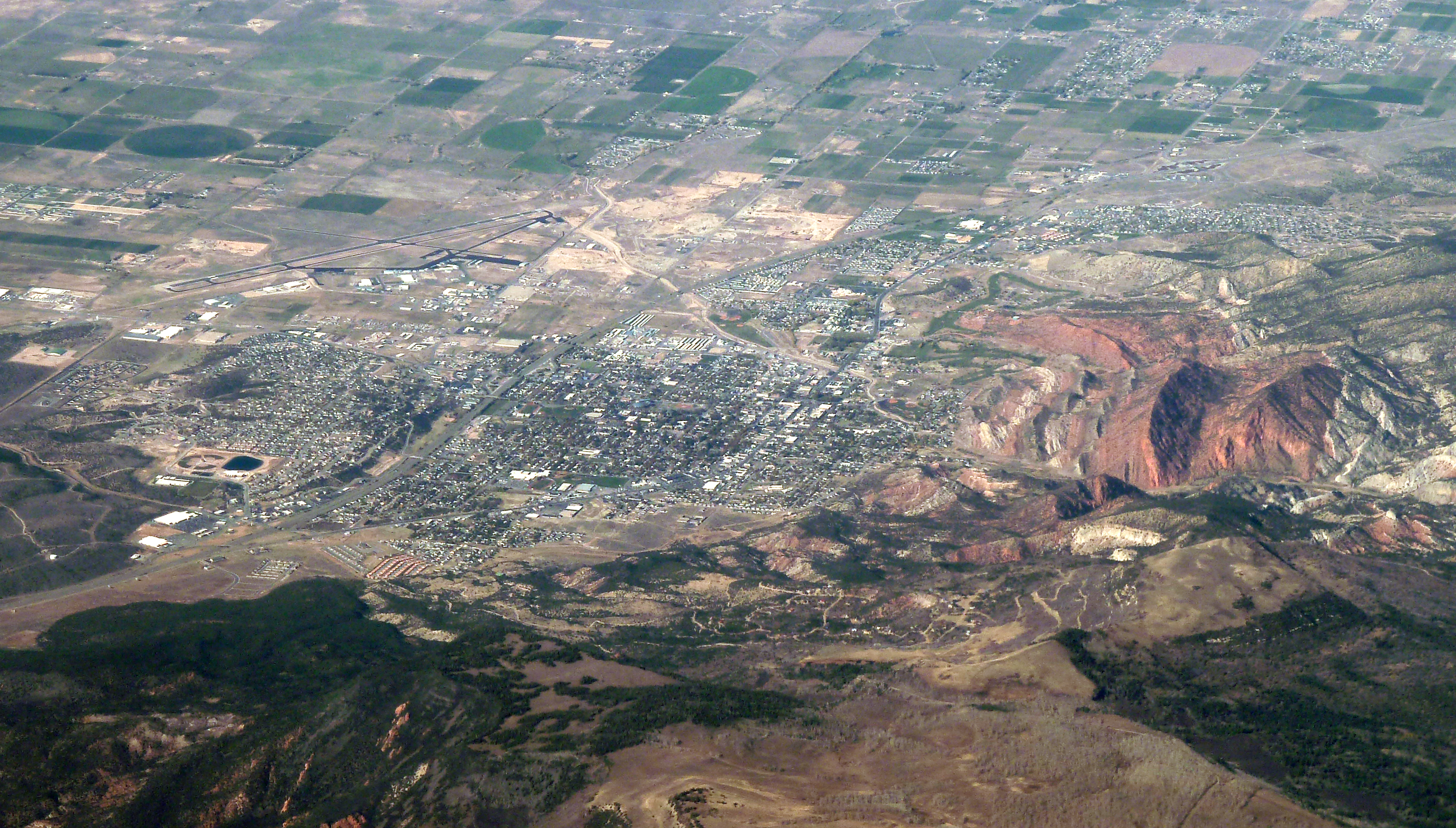
Browse is an unincorporated area of Washington County in southwestern Utah near Interstate 15. Browse is in a transitional climate zone as it is located between St. George, Utah at about 2800 feet above sea level in the Mojave Desert and Cedar City, Utah in the Great Basin at nearly 5900 feet. The Hurricane Cliffs, part of the Colorado Plateau, are directly to the east. This area contains species of desert plants and animals in one location that otherwise would be unique to each of the three above-mentioned desert regions. There are no services in Browse. The area is used by ranchers to graze cattle. Hikers, campers, mountain bikers, and wilderness enthusiasts visit due to its close proximity to Interstate 15. Currently the United States Bureau of Land Management is attempting to allow natural plants and animals to return after a large wildfire burned much of the area in 2003. Browse is located at .{{cite web, url=https://www.census.gov/geo/www/gazetteer/gazette.html, pu ... [...More Info...] [...Related Items...] OR: [Wikipedia] [Google] [Baidu] |
Washington County, Utah
Washington County is a county in the southwestern corner of Utah, United States. As of the 2020 United States Census, the population was 180,279, making it the fifth-most populous county in Utah. Its county seat and largest city is St. George. The county was created in 1852 and organized in 1856. It was named after the first President of the United States, George Washington. A portion of the Paiute Indian Reservation is in western Washington County. Washington County comprises the St. George, UT Metropolitan Statistical Area. History The earliest settlement was Fort Harmony in 1852. Santa Clara was established in 1854 as a mission to the natives who lived on the Santa Clara River. Hamblin and Pinto were settled along the Los Angeles - Salt Lake Road in 1856, as was Gunlock in 1857. Next came the settlements established as colonies to grow cotton before the beginning of the American Civil War. They were located along the Virgin River, in the warmer climate below the Gr ... [...More Info...] [...Related Items...] OR: [Wikipedia] [Google] [Baidu] |
Utah
Utah ( , ) is a state in the Mountain West subregion of the Western United States. Utah is a landlocked U.S. state bordered to its east by Colorado, to its northeast by Wyoming, to its north by Idaho, to its south by Arizona, and to its west by Nevada. Utah also touches a corner of New Mexico in the southeast. Of the fifty U.S. states, Utah is the 13th-largest by area; with a population over three million, it is the 30th-most-populous and 11th-least-densely populated. Urban development is mostly concentrated in two areas: the Wasatch Front in the north-central part of the state, which is home to roughly two-thirds of the population and includes the capital city, Salt Lake City; and Washington County in the southwest, with more than 180,000 residents. Most of the western half of Utah lies in the Great Basin. Utah has been inhabited for thousands of years by various indigenous groups such as the ancient Puebloans, Navajo and Ute. The Spanish were the first Europe ... [...More Info...] [...Related Items...] OR: [Wikipedia] [Google] [Baidu] |
Interstate 15 In Utah
Interstate 15 (I-15) runs north–south in the U.S. state of Utah through the southwestern and central portions of the state, passing through most of the state's population centers, including St. George and those comprising the Wasatch Front: Provo–Orem, Salt Lake City, and Ogden–Clearfield. It is Utah's primary north–south highway, as the vast majority of the state's population lives along its corridor; the Logan metropolitan area is the state's only Metropolitan Statistical Area through which I-15 does not pass. In 1998, the Utah State Legislature designated Utah's entire portion of the road as the Veterans Memorial Highway. Route description The Interstate passes through the fast-growing Dixie region, which includes St. George and Cedar City, and eventually most of the major cities and suburbs along the Wasatch Front, including Provo, Orem, Sandy, West Jordan, Salt Lake City, Layton, and Ogden. Around Cove Fort, I-70 begins its journey eastward across the co ... [...More Info...] [...Related Items...] OR: [Wikipedia] [Google] [Baidu] |
Climate Zone
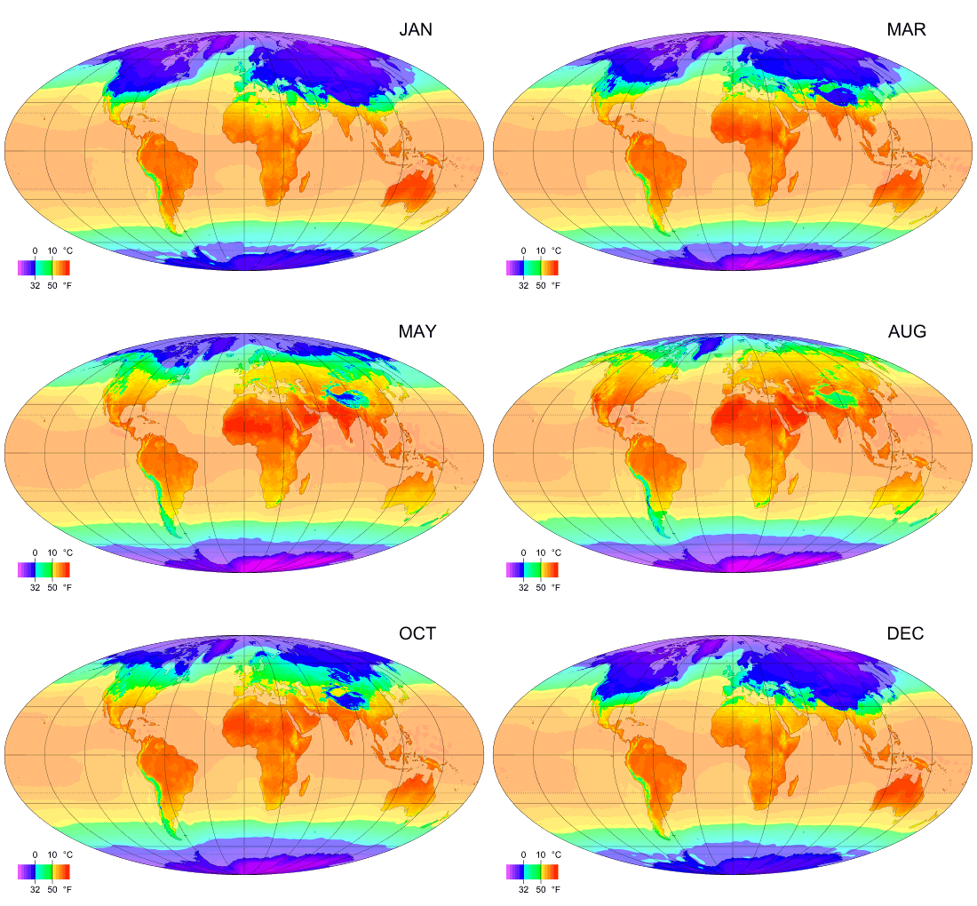
Climate classifications are systems that categorize the world's climates. A climate classification may correlate closely with a biome classification, as climate is a major influence on life in a region. One of the most used is the Köppen climate classification scheme first developed in 1899. There are several ways to classify climates into similar regimes. Originally, climes were defined in Ancient Greece to describe the weather depending upon a location's latitude. Modern climate classification methods can be broadly divided into ''genetic'' methods, which focus on the causes of climate, and ''empiric'' methods, which focus on the effects of climate. Examples of genetic classification include methods based on the relative frequency of different air mass types or locations within synoptic weather disturbances. Examples of empiric classifications include climate zones defined by plant hardiness, evapotranspiration, or more generally the Köppen climate classification which was o ... [...More Info...] [...Related Items...] OR: [Wikipedia] [Google] [Baidu] |
Mojave Desert
The Mojave Desert ( ; mov, Hayikwiir Mat'aar; es, Desierto de Mojave) is a desert in the rain shadow of the Sierra Nevada mountains in the Southwestern United States. It is named for the indigenous Mojave people. It is located primarily in southeastern California and southwestern Nevada, with small portions extending into Arizona and Utah. The Mojave Desert, together with the Sonoran, Chihuahuan, and Great Basin deserts, forms a larger North American Desert. Of these, the Mojave is the smallest and driest. The Mojave Desert displays typical basin and range topography, generally having a pattern of a series of parallel mountain ranges and valleys. It is also the site of Death Valley, which is the lowest elevation in North America. The Mojave Desert is often colloquially called the "high desert", as most of it lies between . It supports a diversity of flora and fauna. The desert supports a number of human activities, including recreation, ranching, and military training. ... [...More Info...] [...Related Items...] OR: [Wikipedia] [Google] [Baidu] |
Cedar City, Utah
Cedar City is the largest city in Iron County, Utah, United States. It is located south of Salt Lake City, and north of Las Vegas on Interstate 15. It is the home of Southern Utah University, the Utah Shakespeare Festival, the Utah Summer Games, the Simon Fest Theatre Co., and other events. As of the 2010 census the city had a population of 28,857, up from 20,257 in 2000. As of 2019, the estimated population was 34,764. History The presence of prehistoric people in the Cedar City area is revealed by rock art found in Parowan Gap to the north and Fremont sites dated to A.D. 1000 and 1300. Ancestors of the present-day Southern Paiute people met the Domínguez–Escalante expedition in this area in 1776. Fifty years later, in 1826, mountain man and fur trader Jedediah Smith traveled through the area, exploring a route from Utah to California. Cedar City was originally settled in late 1851 by Mormon pioneers originating from Parowan, Utah, who were sent to build an iron ... [...More Info...] [...Related Items...] OR: [Wikipedia] [Google] [Baidu] |
Great Basin
The Great Basin is the largest area of contiguous endorheic basin, endorheic watersheds, those with no outlets, in North America. It spans nearly all of Nevada, much of Utah, and portions of California, Idaho, Oregon, Wyoming, and Baja California. It is noted for both its arid climate and the basin and range topography that varies from the North American low point at Badwater Basin in Death Valley to the highest point of the contiguous United States, less than away at the summit of Mount Whitney. The region spans several physical geography, physiographic divisions, biomes, ecoregions, and deserts. Definition The term "Great Basin" is applied to hydrography, hydrographic, ecology, biological, floristic province, floristic, physiographic, topography, topographic, and Ethnography, ethnographic geographic areas. The name was originally coined by John C. Frémont, who, based on information gleaned from Joseph R. Walker as well as his own travels, recognized the hydrographic nature o ... [...More Info...] [...Related Items...] OR: [Wikipedia] [Google] [Baidu] |
Hurricane Cliffs
The Hurricane Cliffs of southwest Utah and northwest Arizona are a red, limestone geographic feature, sets of cliffs along the western, eroded edge of the Kaibab Limestone; the cliffs are about 135-mi (217 km) long,''Utah Atlas & Gazeteer,'' DeLorme, 9th Ed. 2014 pp. 49, 50, 57 with the south end terminus just north of the Grand Canyon. The cliffs are associated with the Hurricane Fault. Description The Hurricane Cliffs are part of the landforms on the southwest perimeter of the Colorado Plateau, specifically the '' High Plateaus section''; the High Plateaus are transitional to the Great Basin northwest, the Mojave Desert west, and the Arizona transition zone, southwest and south of the Coconino Plateau. From Arizona, the cliffs trend north into Utah, but north of Hurricane, at Anderson Junction and Pintura, the trendline turns north-northeast, and by Cedar City, Cedar Valley, Summit, and the Parowan Valley, the trend is northeast. At the northeast end of Parowan V ... [...More Info...] [...Related Items...] OR: [Wikipedia] [Google] [Baidu] |
Colorado Plateau
The Colorado Plateau, also known as the Colorado Plateau Province, is a physiographic and desert region of the Intermontane Plateaus, roughly centered on the Four Corners region of the southwestern United States. This province covers an area of 336,700 km2 (130,000 mi2) within western Colorado, northwestern New Mexico, southern and eastern Utah, northern Arizona, and a tiny fraction in the extreme southeast of Nevada. About 90% of the area is drained by the Colorado River and its main tributaries: the Green, San Juan, and Little Colorado. Most of the remainder of the plateau is drained by the Rio Grande and its tributaries. The Colorado Plateau is largely made up of high desert, with scattered areas of forests. In the south-west corner of the Colorado Plateau lies the Grand Canyon of the Colorado River. Much of the Plateau's landscape is related to the Grand Canyon in both appearance and geologic history. The nickname "Red Rock Country" suggests the brightly colored ... [...More Info...] [...Related Items...] OR: [Wikipedia] [Google] [Baidu] |
Bureau Of Land Management
The Bureau of Land Management (BLM) is an agency within the United States Department of the Interior responsible for administering federal lands. Headquartered in Washington DC, and with oversight over , it governs one eighth of the country's landmass. President Harry S. Truman created the BLM in 1946 by combining two existing agencies: the General Land Office and the Grazing Service. The agency manages the federal government's nearly of subsurface mineral estate located beneath federal, state and private lands severed from their surface rights by the Homestead Act of 1862. Most BLM public lands are located in these 12 western states: Alaska, Arizona, California, Colorado, Idaho, Montana, Nevada, New Mexico, Oregon, Utah, Washington and Wyoming. The mission of the BLM is "to sustain the health, diversity, and productivity of the public lands for the use and enjoyment of present and future generations." Originally BLM holdings were described as "land nobody wanted" because home ... [...More Info...] [...Related Items...] OR: [Wikipedia] [Google] [Baidu] |


