|
Broadway (Cleveland)
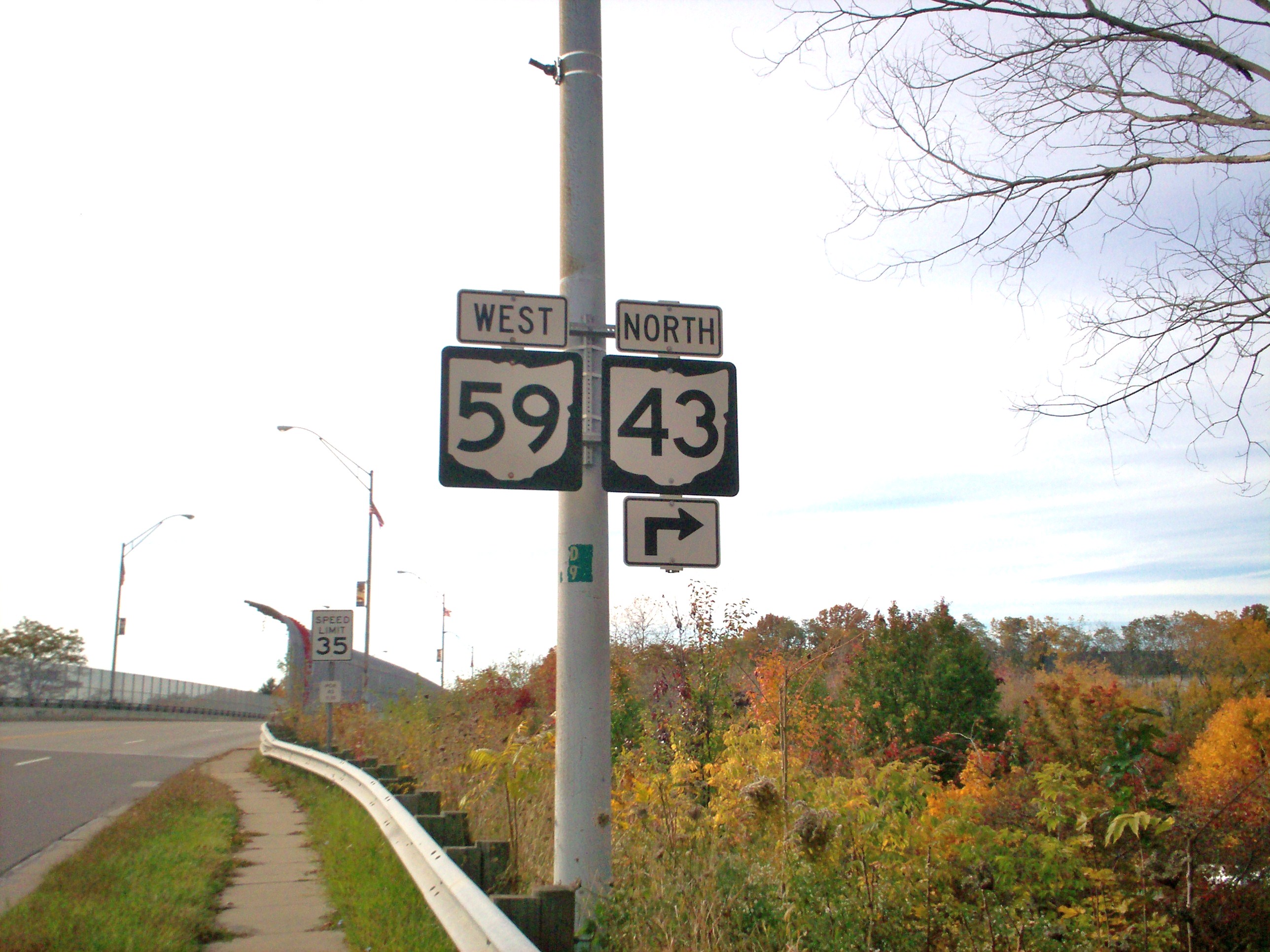
Broadway Avenue is a road in Cuyahoga County, Ohio, Cuyahoga County in the U.S. state of Ohio. Broadway begins in Downtown Cleveland at Carnegie Avenue as a continuation to the south of Ontario Street. It runs from northwest to southeast through the cities of Cleveland, Garfield Heights, Ohio, Garfield Heights, Maple Heights, Ohio, Maple Heights, Bedford, Ohio, Bedford, and the village of Oakwood, Cuyahoga County, Ohio, Oakwood. Its southern terminus is at the southern boundary of Cuyahoga County where it intersects Richmond Road and continues to the southeast into Summit County, Ohio, Summit County as Ravenna Road. Broadway is concurrent with Ohio State Route 14, State Route 14 Ohio Department of Transportation State Highway Straight Line Diagrams - State Route 14, Cuyahoga County throughout its most of its length, and is also concurrent in parts with Ohio State Route 43, State Route 43, U.S. Route 422, Ohio Department of Transportation State Highway Straight Line Diagrams - U. ... [...More Info...] [...Related Items...] OR: [Wikipedia] [Google] [Baidu] |
Downtown Cleveland
Downtown Cleveland is the central business district of Cleveland, Ohio. The economic and symbolic center of the city and the Cleveland-Akron-Canton, OH Combined Statistical Area, it is Cleveland's oldest district, with its Public Square laid out by city founder General Moses Cleaveland in 1796. Downtown is bounded by Lake Erie to the north, the Cuyahoga Valley to the west, and Interstate 90 to the south and east. It encompasses several subdistricts, and its diverse architecture includes the Cleveland Mall, one of the most complete examples of City Beautiful design in the United States. Downtown's residential population has grown significantly since the 2000s and especially 2010s, registering the largest population growth, by percentage, of any Cleveland neighborhood over that time. Districts Public Square The heart of downtown, Public Square was laid out by city founder Moses Cleaveland in 1796 and has remained largely unchanged. Based on the New England town square, it c ... [...More Info...] [...Related Items...] OR: [Wikipedia] [Google] [Baidu] |
Cleveland
Cleveland ( ), officially the City of Cleveland, is a city in the U.S. state of Ohio and the county seat of Cuyahoga County. Located in the northeastern part of the state, it is situated along the southern shore of Lake Erie, across the U.S. maritime border with Canada, northeast of Cincinnati, northeast of Columbus, and approximately west of Pennsylvania. The largest city on Lake Erie and one of the major cities of the Great Lakes region, Cleveland ranks as the 54th-largest city in the U.S. with a 2020 population of 372,624. The city anchors both the Greater Cleveland metropolitan statistical area (MSA) and the larger Cleveland–Akron–Canton combined statistical area (CSA). The CSA is the most populous in Ohio and the 17th largest in the country, with a population of 3.63 million in 2020, while the MSA ranks as 34th largest at 2.09 million. Cleveland was founded in 1796 near the mouth of the Cuyahoga River by General Moses Cleaveland, after whom the city was named ... [...More Info...] [...Related Items...] OR: [Wikipedia] [Google] [Baidu] |
Garfield Heights, Ohio
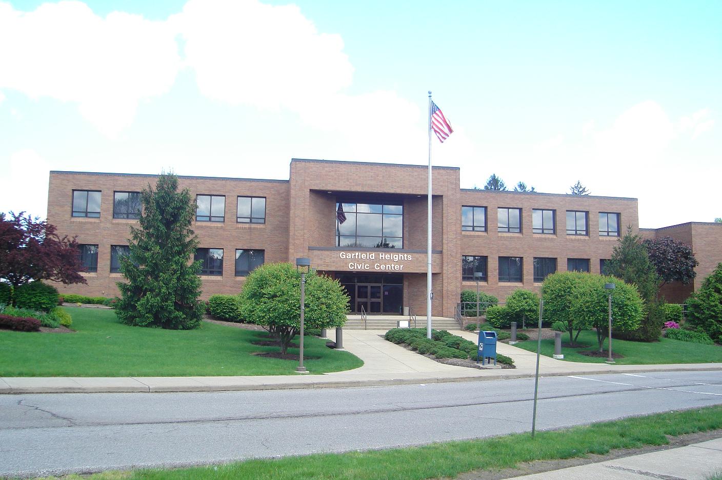
Garfield Heights is a city in Cuyahoga County, Ohio, Cuyahoga County, Ohio, United States. It is a suburb of Cleveland. The population was 28,849 at the time of the United States Census 2010, 2010 census. Geography Garfield Heights is located at (41.421423, -81.602682). According to the United States Census Bureau, the city has a total area of , of which is land and is water. The elevation of Garfield Heights is above sea level where it borders Cleveland, and its highest elevation is above sea level at the Garfield Heights Justice Center. History The area was originally part of Defunct townships of Cuyahoga County, Ohio#Newburgh_Township, Newburgh Township. The Village of South Newburgh was formed in 1907, and it was incorporated as Garfield Heights in 1930. The city is named after Garfield Park, which in turn was named in honor of President James A. Garfield. Economy Marymount Hospital, part of the Cleveland Clinic system, is the city's largest employer. The Ohio Departm ... [...More Info...] [...Related Items...] OR: [Wikipedia] [Google] [Baidu] |
Maple Heights, Ohio
Maple Heights is a city in Cuyahoga County, Ohio, United States. It is a suburb of Cleveland. The population was 23,138 at the 2010 census. History Maple Heights Transit In 1935, the City created Maple Heights Transit to provide connections to Downtown Cleveland, crosstown service, and service for schools. Southgate USA Built as one of the first large shopping centers, Southgate USA was dedicated in 1955, boasting over 80 retail stores, including JCPenney, Sears, and May Company. In 2002, the GCRTA dedicated its Southgate Transit Center, serving as a connection between multiple bus lines between Downtown Cleveland, Bedford, Shaker Heights, East Cleveland, and the Summit County Line. Late 20th and Early 21st Centuries (1970-Present) With deficit fund balances of over $2.8 million and defaults on 3 loan payments, Ohio Auditor of State Dave Yost declared the City to be in fiscal emergency in February 2015. Since February 2015, the City improved its finances and budgeting si ... [...More Info...] [...Related Items...] OR: [Wikipedia] [Google] [Baidu] |
Bedford, Ohio
Bedford is a city in Cuyahoga County, Ohio, United States located to the east of Cleveland. The population was 13,074 at the 2010 census. It is an eastern first ring suburb of Cleveland. Geography Bedford is located at . It is a first ring suburb to the southeast of Cleveland. The city is bounded by Maple Heights to the north and west, Walton Hills and Oakwood to the south, and Bedford Heights to the east. According to the 2010 census, the city has a total area of , of which (or 99.07%) is land and (or 0.93%) is water. The boundaries of the city of Bedford include part of the Bedford Reservation. The reservation includes Tinker's Creek, which flows through a gorge that has been listed as a National Natural Landmark. The Great Falls of Tinker's Creek are within the city limits of Bedford. History The area that is now Bedford and northeastern Ohio was originally inhabited by Native Americans as early as 11,000 years ago. By 1662 the area had become a part of the Connect ... [...More Info...] [...Related Items...] OR: [Wikipedia] [Google] [Baidu] |
Oakwood, Cuyahoga County, Ohio
Oakwood is a village in Cuyahoga County, Ohio, United States. The population was 3,667 at the 2010 census. It is an inner ring suburb of Cleveland. Geography Oakwood is located at . According to the United States Census Bureau, the village has a total area of , of which is land and is water. Demographics 2010 census As of the census of 2010, there were 3,667 people, 1,544 households, and 935 families living in the village. The population density was . There were 1,648 housing units at an average density of . The racial makeup of the village was 30.7% White, 64.7% African American, 0.2% Native American, 0.7% Asian, 0.1% Pacific Islander, 0.2% from other races, and 3.4% from two or more races. Hispanic or Latino of any race were 2.3% of the population. There were 1,544 households, of which 24.6% had children under the age of 18 living with them, 38.3% were married couples living together, 17.2% had a female householder with no husband present, 5.1% had a male householder wi ... [...More Info...] [...Related Items...] OR: [Wikipedia] [Google] [Baidu] |
Cuyahoga County, Ohio
Cuyahoga County ( or ) is a large urban county located in the northeastern part of the U.S. state of Ohio. It is situated on the southern shore of Lake Erie, across the Canada–United States border, U.S.-Canada maritime border. As of the 2020 United States census, 2020 census, its population was 1,264,817, making it the List of counties in Ohio, second-most-populous county in the state. The county seat and largest city is Cleveland. The county is bisected by the Cuyahoga River, after which it was List of Ohio county name etymologies, named. "Cuyahoga" is an Iroquoian languages, Iroquoian word meaning "crooked river". Cuyahoga County is the core of the Greater Cleveland, Greater Cleveland Metropolitan Area and of the Northeast_Ohio#Combined_Statistical_Area, Cleveland–Akron–Canton combined statistical area. History The land that became Cuyahoga County was previously part of the French colony of New France, Canada (New France), which was ceded in 1763 to Kingdom of Great Br ... [...More Info...] [...Related Items...] OR: [Wikipedia] [Google] [Baidu] |
Summit County, Ohio
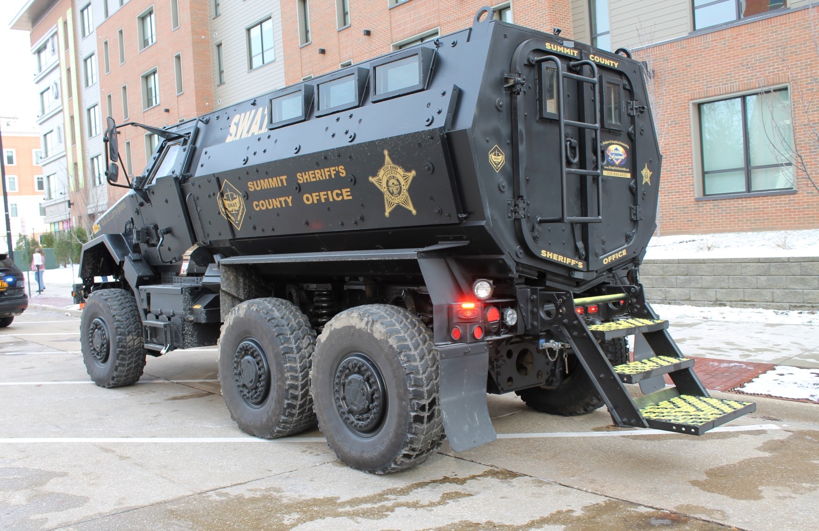
Summit County is an urban county in the U.S. state of Ohio. As of the 2020 census, the population was 540,428, making it the fourth-most populous county in Ohio. Its county seat and largest city is Akron. The county was formed on March 3, 1840, from portions of Medina, Portage and Stark Counties. It was named Summit County because the highest elevation on the Ohio and Erie Canal is located in the county. Summit County is part of the Akron, OH Metropolitan Statistical Area, which is also included in the Cleveland-Akron-Canton, OH Combined Statistical Area. Geography According to the United States Census Bureau, the county has a total area of , of which is land and (1.7%) is water. The largest portion of Cuyahoga Valley National Park is located in the northern part of the county. The southern border of the former Connecticut Western Reserve passes through the southern part of the county, leading to jogs in the east and west borders of the county. Major highways * * * * ... [...More Info...] [...Related Items...] OR: [Wikipedia] [Google] [Baidu] |
Ohio
Ohio () is a state in the Midwestern region of the United States. Of the fifty U.S. states, it is the 34th-largest by area, and with a population of nearly 11.8 million, is the seventh-most populous and tenth-most densely populated. The state's capital and largest city is Columbus, with the Columbus metro area, Greater Cincinnati, and Greater Cleveland being the largest metropolitan areas. Ohio is bordered by Lake Erie to the north, Pennsylvania to the east, West Virginia to the southeast, Kentucky to the southwest, Indiana to the west, and Michigan to the northwest. Ohio is historically known as the "Buckeye State" after its Ohio buckeye trees, and Ohioans are also known as "Buckeyes". Its state flag is the only non-rectangular flag of all the U.S. states. Ohio takes its name from the Ohio River, which in turn originated from the Seneca word ''ohiːyo'', meaning "good river", "great river", or "large creek". The state arose from the lands west of the Appalachian Mountai ... [...More Info...] [...Related Items...] OR: [Wikipedia] [Google] [Baidu] |
Ohio State Route 14
State Route 14, located in northeastern Ohio, runs from U.S. Route 6/ U.S. Route 42/ State Route 3 in Downtown Cleveland southeasterly to the Pennsylvania state line near East Palestine; Pennsylvania Route 51 continues southeasterly from there. History * 1924 – Original route established;Explanation of the Ohio State Highway System (The Unofficial Ohio State Highways Web Site) by John Simpson original alignment was along its current alignment from to Unity, SR 170’s current alignment from Unity to [...More Info...] [...Related Items...] OR: [Wikipedia] [Google] [Baidu] |
Ohio Department Of Transportation
The Ohio Department of Transportation (ODOT; ) is the administrative department of the Ohio state government responsible for developing and maintaining all state and U.S. roadways outside of municipalities and all Interstates except the Ohio Turnpike. In addition to highways, the department also helps develop public transportation and public aviation programs. ODOT is headquartered in Columbus, Ohio. Formerly, under the direction of Michael Massa, ODOT initiated a series of interstate-based Travel Information Centers, which were later transferred to local sectors. The Director of Transportation is part of the Governor's Cabinet. ODOT has divided the state into 12 regional districts to facilitate development. Each district is responsible for the planning, design, construction, and maintenance of the state and federal highways in its region. The department employs over 6,000 people and has an annual budget approaching $3 billion. It celebrated its 100th anniversary in 2005 and ... [...More Info...] [...Related Items...] OR: [Wikipedia] [Google] [Baidu] |
Ohio State Route 43
State Route 43 (SR 43) is a mainly north–south state highway that runs through the northeastern quadrant of the U.S. state of Ohio. Its southern terminus is at a signalized intersection with State Route 7 along the Ohio River in Steubenville, and its western terminus is approximately to the north at Public Square in Cleveland. It is one of ten routes to enter Public Square. Created in the mid-1920s, State Route 43 starts out in Steubenville, and runs northwesterly to Canton via Carrollton. From Canton, the highway runs northerly through Kent and Streetsboro to Aurora, where it then turns northwesterly, and passes through suburban Cleveland before entering the city proper, and coming to an end in downtown at Public Square. For its northernmost stretch of less than , State Route 43 shares the same portion of pavement as four other highways at the same time: U.S. Route 422, State Route 8, State Route 14 and State Route 87. The five routes share a common endpoint in t ... [...More Info...] [...Related Items...] OR: [Wikipedia] [Google] [Baidu] |


