|
Brignall
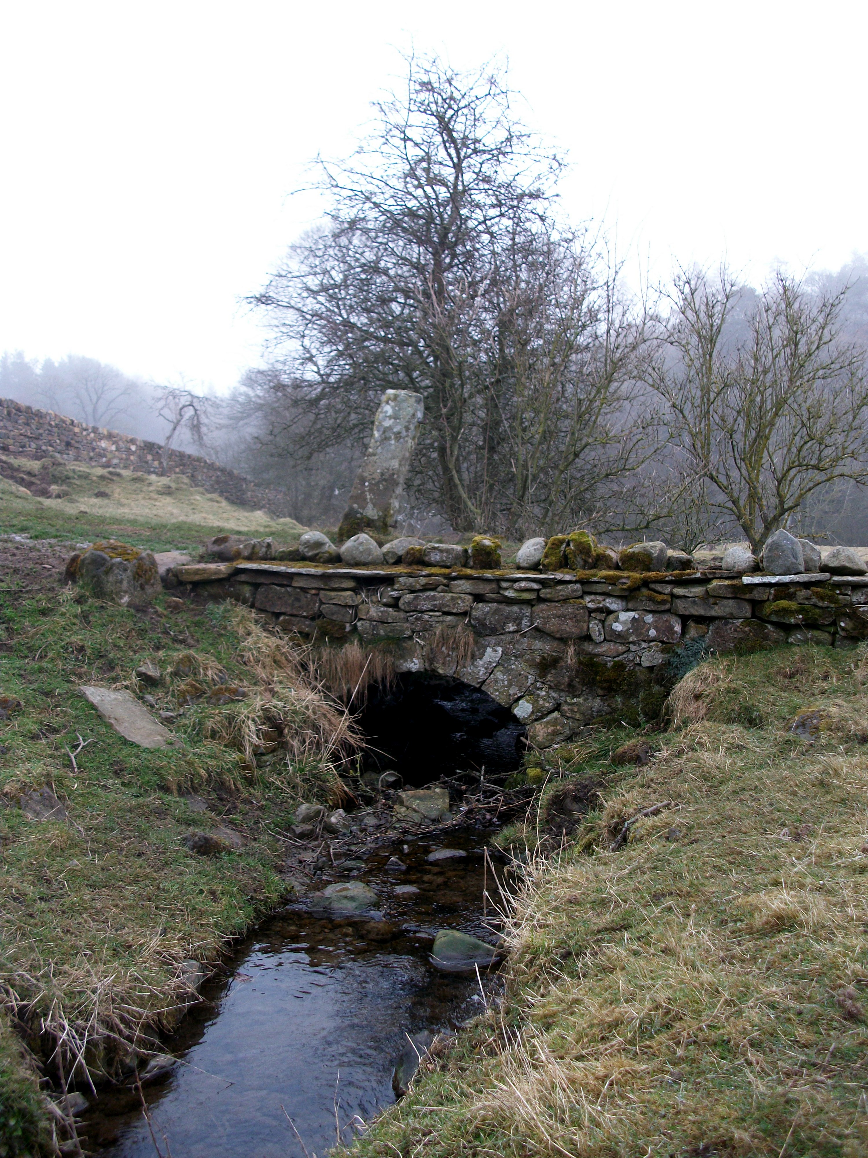
Brignall village is located in an elevated position adjacent to the River Greta, about 2 km upstream from Greta Bridge. The village is within the Teesdale district of south-west County Durham, England, the nearest town is the market town of Barnard Castle. The village is best known for the scenic valley section of the River Greta known as Brignall Banks, which is a Site of Special Scientific Interest. Natural England maps Maps for Brignall village and the surrounding area, showing ''Access'', ''Administrative Geographies'' and other criteria from Natural England: * MAGiC MaP : Brignall village. * MAGiC MaP : Brignall parish boundary. * MAGiC MaP : Brignall village – Listed buildings. * MAGiC MaP : Confluence of Brignall stream and River Greta. * MAGiC MaP : Brignall Banks SSSI. * MAGiC MaP : Brignall mill and ancient woodland. * MAGiC MaP : Greta Bridge and Roman fort. * MAGiC MaP : River Greta '' " Meeting of the waters " ''. G ... [...More Info...] [...Related Items...] OR: [Wikipedia] [Google] [Baidu] |
Brignall Banks
Brignall Banks is a Site of Special Scientific Interest in the Teesdale district of south-west County Durham, England. It consists of a narrow belt of woodland on the steep slopes of the valleys of the River Greta and its tributary, Gill Beck, just west of Brignall village and about 6 km south of Barnard Castle. It is one of the largest expanses of semi-natural woodland in North-east England; a number of scarce species are present, indicating that it is ancient woodland. A varied lichen flora includes several species that are sensitive to air pollution and rare in County Durham, including some, such as '' Thelotrema lepadinum'' and ''Graphis scripta ''Graphis scripta'' is a crustose lichen in the family Graphidaceae. It is commonly called script lichen, secret writing lichen, or similar names, because its growth pattern makes it looks like writing. '' Stigmidium microspilum'' and '' Arthon ...'', that are indicator species for ancient woodland. References ... [...More Info...] [...Related Items...] OR: [Wikipedia] [Google] [Baidu] |
River Greta, Durham
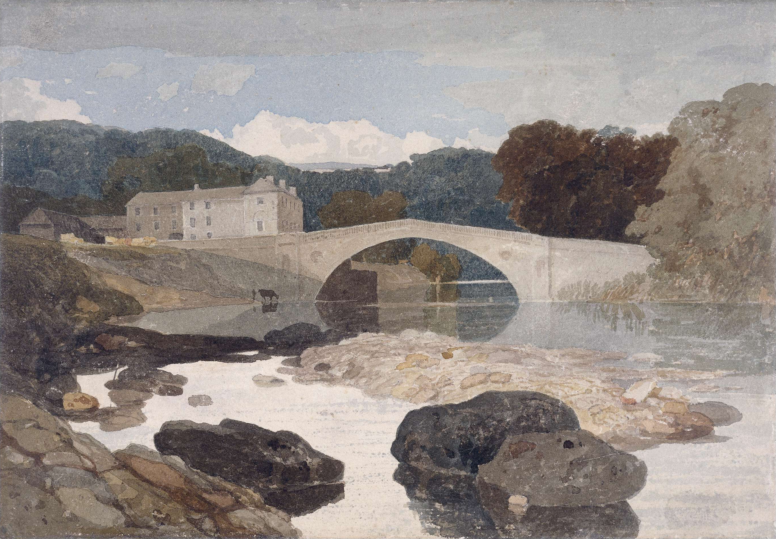
The River Greta is a river in County Durham, England. It is a tributary of the River Tees and flows through the northern part of the old North Riding of Yorkshire. The name "Greta" derives from the Old Norse "Griótá", meaning "stony stream".Ekwall, p. 205 * The river rises in the Pennines and drains Spittal Ings, Roper Castle (or Round Table) and Beldoo Moss to the east of Moudy Mea, before running east through Stainmore Forest. It is joined at West Charity Farm by Sleightholme Beck, its main tributary, which runs north-east from its source between Bog Moss and Sleightholme Moor where it is formed by the confluence of Dry Gill and Frumming Beck. From there, the river travels through Bowes, where, close to the site of the Roman fort of Lavatris it is crossed by the Pennine Way. The area through which the Greta flows was a favourite haunt of artists, notably John Sell Cotman and J. M. W. Turner. There are also many historic sites adjacent to the river including cup and rin ... [...More Info...] [...Related Items...] OR: [Wikipedia] [Google] [Baidu] |
Startforth Rural District
Startforth Rural District was a rural district in the North Riding of the historic county of Yorkshire in the Pennines of northern England. It was formed in 1894 under the Local Government Act 1894. It constituted the part of the Teesdale Rural Sanitary District that was in the North Riding (the rest being in County Durham). In 1974, the district was abolished and formed part of the Teesdale district of the non-metropolitan county of County Durham. It comprised the area south of the River Tees between Cow Green Reservoir and Gainford, and north of the modern administrative border between County Durham and North Yorkshire. The area is hilly and fairly sparsely populated. Places within it included; Villages * Barningham * Boldron *Bowbank *Bowes * Brignall *Cotherstone * Gilmonby * Grassholme * Greta Bridge * Hutton Magna *Holwick * Hunderthwaite * Hury * Lartington * Mickleton * Ovington *Romaldkirk * Scargill * Startforth *Thringarth * Wycliffe Dales * Baldersdale *Dee ... [...More Info...] [...Related Items...] OR: [Wikipedia] [Google] [Baidu] |
England
England is a country that is part of the United Kingdom. It shares land borders with Wales to its west and Scotland to its north. The Irish Sea lies northwest and the Celtic Sea to the southwest. It is separated from continental Europe by the North Sea to the east and the English Channel to the south. The country covers five-eighths of the island of Great Britain, which lies in the North Atlantic, and includes over 100 smaller islands, such as the Isles of Scilly and the Isle of Wight. The area now called England was first inhabited by modern humans during the Upper Paleolithic period, but takes its name from the Angles, a Germanic tribe deriving its name from the Anglia peninsula, who settled during the 5th and 6th centuries. England became a unified state in the 10th century and has had a significant cultural and legal impact on the wider world since the Age of Discovery, which began during the 15th century. The English language, the Anglican Church, and Engli ... [...More Info...] [...Related Items...] OR: [Wikipedia] [Google] [Baidu] |
Trossachs
The Trossachs (; gd, Na Tròiseachan) generally refers to an area of wooded glens, braes, and lochs lying to the east of Ben Lomond in the Stirling council area of Scotland. The name is taken from that of a small woodland glen that lies at the centre of the area, but is now generally applied to the wider region. The wooded hills and lochs of the area may be considered to represent a microcosm of a typical highland landscape, and the woodlands are an important habitat for many species. Much of the Trossachs area is protected by various different protected areas of Scotland, conservation designations, including the Great Trossachs Forest National nature reserve (Scotland), National Nature Reserve. The Trossachs form part of the Loch Lomond and The Trossachs National Park, which was established in 2002. The area has long been visited by tourists due to the relative proximity of major population centres such as Glasgow and Stirling, and remains popular with walkers, cyclists and t ... [...More Info...] [...Related Items...] OR: [Wikipedia] [Google] [Baidu] |
Brig O' Balgownie
The Brig o' Balgownie is a 13th-century bridge spanning the River Don in Old Aberdeen, Scotland. Construction of the bridge was begun in the late 13th century by Richard Cementarius, although its completion was not until 1320 at the time of the Scottish War of Independence. After falling into disrepair in the mid 16th century it was extensively renovated in 1605. Throughout its history the bridge has been considered an important asset. For five centuries possession of the bridge was the only way to move large armies quickly along the eastern coast of Aberdeenshire. It also provided a trade route to the wealthy areas of the north-east of Scotland. The bridge is constructed of granite and sandstone. Its single gothic arch has span of over and at low tide the apex of the arch lies over above the water-line. The bridge ceased to be a major route in 1830 when the new Bridge of Don was built downstream. History The text below is taken from the notes of a public talk ''History ... [...More Info...] [...Related Items...] OR: [Wikipedia] [Google] [Baidu] |
Brighouse Bridge
The Brighouse Bridge crosses the River Calder in Brighouse, West Yorkshire, England. It was built in 1825 as part of the Halifax and Huddersfield Turnpike. History The Halifax and Huddersfield Turnpike Act of 1823 allowed for the building of Calder Bridge (now called Brighouse Bridge) on what was to become the A641 road; tolls were abolished on the bridge in 1875 and extensive widening work was undertaken in 1905 and 1999 (both of these latter dates being commemorated in dedication stones on the bridge). References See also *List of crossings of the River Calder {{Crossings navbox , structure = Bridges , place = River Calder , bridge = Brighouse Bridge , bridge signs = , upstream = Rastrick Bridge , upstream signs = , downstream = Blakeborough's Bridge Blakeborough's Bridge crosses the River Calder in Brighouse, West Yorkshire, England. It was built in 1962 to link J. Blakeborough and Sons works and offices that were on differ ... [...More Info...] [...Related Items...] OR: [Wikipedia] [Google] [Baidu] |
Old English
Old English (, ), or Anglo-Saxon, is the earliest recorded form of the English language, spoken in England and southern and eastern Scotland in the early Middle Ages. It was brought to Great Britain by Anglo-Saxon settlement of Britain, Anglo-Saxon settlers in the mid-5th century, and the first Old English literature, Old English literary works date from the mid-7th century. After the Norman conquest of 1066, English was replaced, for a time, by Anglo-Norman language, Anglo-Norman (a langues d'oïl, relative of French) as the language of the upper classes. This is regarded as marking the end of the Old English era, since during this period the English language was heavily influenced by Anglo-Norman, developing into a phase known now as Middle English in England and Early Scots in Scotland. Old English developed from a set of Anglo-Frisian languages, Anglo-Frisian or Ingvaeonic dialects originally spoken by Germanic peoples, Germanic tribes traditionally known as the Angles, Sa ... [...More Info...] [...Related Items...] OR: [Wikipedia] [Google] [Baidu] |
Etymology
Etymology ()The New Oxford Dictionary of English (1998) – p. 633 "Etymology /ˌɛtɪˈmɒlədʒi/ the study of the class in words and the way their meanings have changed throughout time". is the study of the history of the Phonological change, form of words and, by extension, the origin and evolution of their semantic meaning across time. It is a subfield of historical linguistics, and draws upon comparative semantics, Morphology_(linguistics), morphology, semiotics, and phonetics. For languages with a long recorded history, written history, etymologists make use of texts, and texts about the language, to gather knowledge about how words were used during earlier periods, how they developed in Semantics, meaning and Phonological change, form, or when and how they Loanword, entered the language. Etymologists also apply the methods of comparative linguistics to reconstruct information about forms that are too old for any direct information to be available. By analyzing related ... [...More Info...] [...Related Items...] OR: [Wikipedia] [Google] [Baidu] |


