|
Bramshott Common
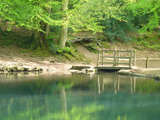
Bramshott Common is part of a large expanse of heathland, including Ludshott Common, near Bramshott, Hampshire, England. It was the site of Bramshott Camp Bramshott Military Camp, often simplified to Camp Bramshott, was a temporary army camp set up on Bramshott Common, Hampshire, England during both the First and Second World Wars. Camp Bramshott was one of three facilities in the Aldershot Comman ...s, set up to accommodate Canadian troops during the two world wars. It is bisected by the A3 trunk road. References External links Geography of Hampshire {{Hampshire-geo-stub ... [...More Info...] [...Related Items...] OR: [Wikipedia] [Google] [Baidu] |
Heathland
A heath () is a shrubland habitat found mainly on free-draining infertile, acidic soils and characterised by open, low-growing woody vegetation. Moorland is generally related to high-ground heaths with—especially in Great Britain—a cooler and damper climate. Heaths are widespread worldwide but are fast disappearing and considered a rare habitat in Europe. They form extensive and highly diverse communities across Australia in humid and sub-humid areas where fire regimes with recurring burning are required for the maintenance of the heathlands.Specht, R.L. 'Heathlands' in 'Australian Vegetation' R.H. Groves ed. Cambridge University Press 1988 Even more diverse though less widespread heath communities occur in Southern Africa. Extensive heath communities can also be found in the Texas chaparral, New Caledonia, central Chile, and along the shores of the Mediterranean Sea. In addition to these extensive heath areas, the vegetation type is also found in scattered locations acro ... [...More Info...] [...Related Items...] OR: [Wikipedia] [Google] [Baidu] |
Ludshott Common
Ludshott Common and Waggoners Wells (the latter sometimes written with an apostrophe: Waggoners' Wells) is a National Trust for Places of Historic Interest or Natural Beauty, National Trust reserve; Ludshott Common is an area of heathland and Waggoners Wells a series of man-made ponds with a connecting stream. The reserve is situated between Grayshott, Bramshott and Headley Down in East Hampshire, England. Ludshott Common Description Ludshott Common is one of the largest remaining areas of heathland in East Hampshire. It lies parallel to and south of the B3002 road between Headley Down to the west and Grayshott to the east. It covers and is designated a Site of Special Scientific Interest (SSSI) and Special Protection Area (SPA) due to the number of endangered species, including woodlark, nightjar and Dartford warbler. There are also a great many spiders and butterflies, including silver-studded blue, grayling (butterfly), grayling and green hairstreak. [...More Info...] [...Related Items...] OR: [Wikipedia] [Google] [Baidu] |
Bramshott
Bramshott is a village with mediaeval origins in the East Hampshire district of Hampshire, England. It lies 0.9 miles (1.4 km) north of Liphook. The nearest railway station, Liphook railway station, Liphook, is south of the village. History The first evidence for the hamlet of Bramshott is the record of Matthew as its first Rector in 1225 and the early 13th century church. The parish evolved from the medieval manors of Brembreste (Bramshott today), Lidessete (Ludshott Common and Waggoners Wells, Ludshott), Ciltelelei (Chiltlee), the Woolmer Forest, royal forest of Woolmer and fragments of two other manors. Bramshott Manor is described in the Domesday Book as held by Edward of Salisbury from the king with two freemen, thirteen tenants (of restricted freedom) and two mills. Ludshott Manor, lying to the north of Bramshott Manor, is recorded with ten households and a mill. Chiltlee Manor lay to the south of Bramshott Manor and was recorded as being held by the king, William the ... [...More Info...] [...Related Items...] OR: [Wikipedia] [Google] [Baidu] |
Hampshire
Hampshire (, ; abbreviated to Hants) is a ceremonial county, ceremonial and non-metropolitan county, non-metropolitan counties of England, county in western South East England on the coast of the English Channel. Home to two major English cities on its south coast, Southampton and Portsmouth, Hampshire is the 9th-most populous county in England. The county town of Hampshire is Winchester, located in the north of the county. The county is bordered by Dorset to the south-west, Wiltshire to the north-west, Berkshire to the north, Surrey to the north-east, and West Sussex to the south east. The county is geographically diverse, with upland rising to and mostly south-flowing rivers. There are areas of downland and marsh, and two national parks: the New Forest National Park, New Forest and part of the South Downs National Park, South Downs, which together cover 45 per cent of Hampshire. Settled about 14,000 years ago, Hampshire's recorded history dates to Roman Britain, when its chi ... [...More Info...] [...Related Items...] OR: [Wikipedia] [Google] [Baidu] |
Bramshott Camp
Bramshott Military Camp, often simplified to Camp Bramshott, was a temporary army camp set up on Bramshott Common, Hampshire, England during both the First and Second World Wars. Camp Bramshott was one of three facilities in the Aldershot Command area established by the Canadian Army. The permanent facility on both occasions was at the British Army's Bordon Military Camp. Bramshott was one of two temporary camps set-up for additional accommodation in the lead-up to D-Day, along with Witley Camp. There were five Canadian camps in the immediate vicinity of Camp Bramshott, each one given the name of one of the Great Lakes: * Huron and Ontario Camps were located on Bramshott Common near the Portsmouth Road * Superior Camp was located at the Grayshott end of Ludshott Common * Erie Camp was located at Headley Down Headley Down is a village within the civil parish of Headley in the East Hampshire district of Hampshire, England, bounded on two sides by Ludshott Common, a National ... [...More Info...] [...Related Items...] OR: [Wikipedia] [Google] [Baidu] |
A3 Road
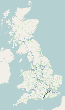
The A3, known as the Portsmouth Road or London Road in sections, is a major road connecting the City of London and Portsmouth passing close to Kingston upon Thames, Guildford, Haslemere and Petersfield. For much of its length, it is classified as a trunk road and therefore managed by National Highways. Almost all of the road has been built to dual carriageway standards or wider. Apart from bypass sections in London, the road travels in a southwest direction and, after Liss, south-southwest. Close to its southerly end, motorway traffic is routed via the A3(M), then either the east–west A27 or the Portsmouth-only M275 which has multiple lanes leading off the westbound A27 — for non-motorway traffic, the A3 continues into Portsmouth alongside the A3(M), mostly as a single carriageway in each direction through Waterlooville and adjoining small towns. The other section of single carriageways is through the urban environs of Battersea, Clapham and Stockwell towards the no ... [...More Info...] [...Related Items...] OR: [Wikipedia] [Google] [Baidu] |
.jpeg/1200px-Amrum_(187753235).jpeg)


