|
Bouthwaite
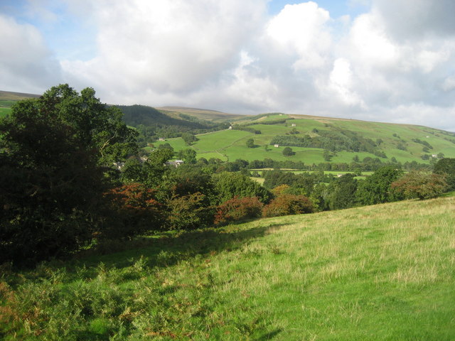
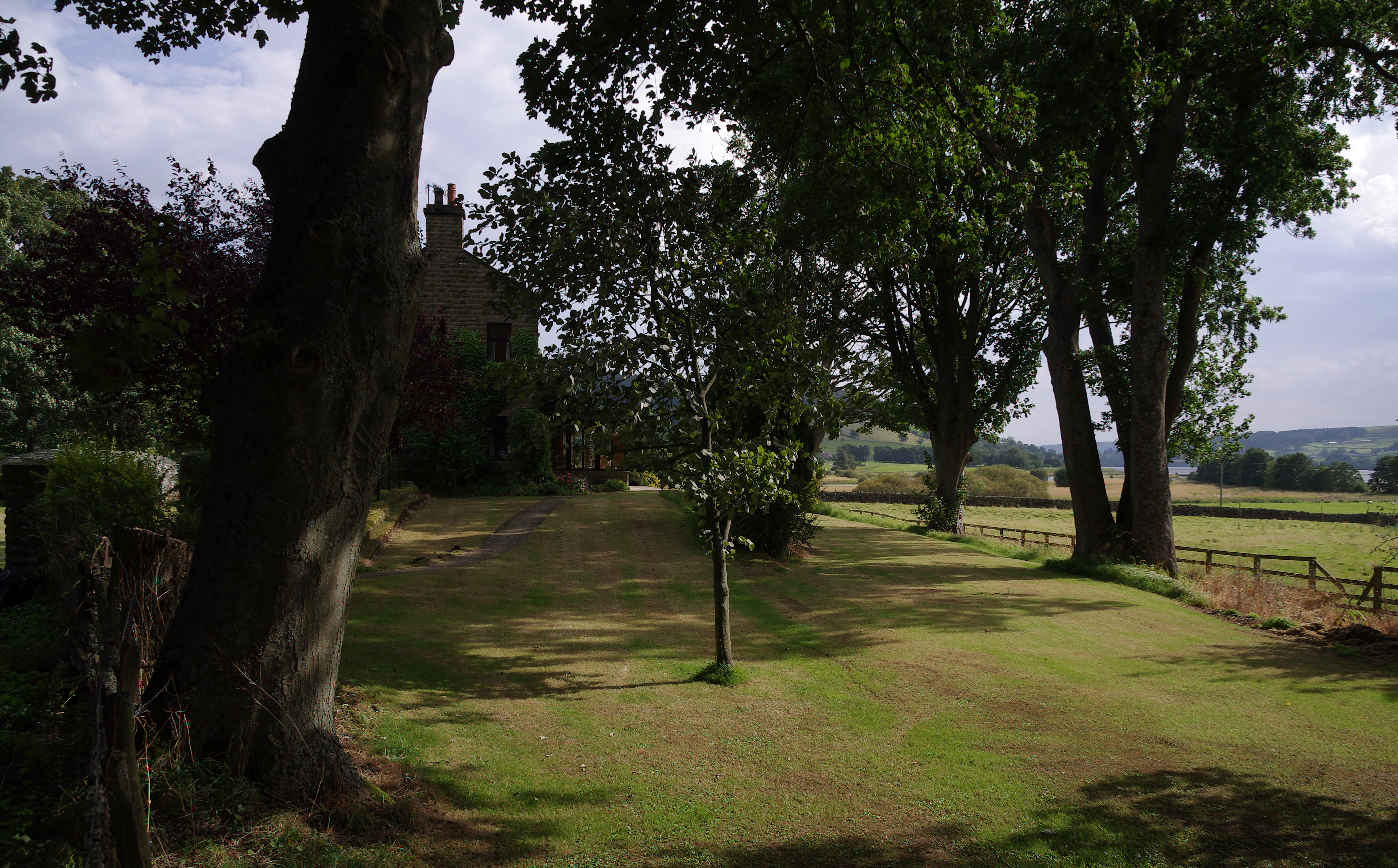
Bouthwaite is a hamlet in the Harrogate district of North Yorkshire, England. It is situated in Nidderdale, to the north of Pateley Bridge, close to the village of Ramsgill. The Nidderdale Way and Six Dales Trail both pass through the hamlet. The place is first mentioned in 1184 as ''Burtheit''. The toponym means "cottage or store-house clearing", from the Old Norse ''búr'' and '' þveit''. Fountains Abbey owned the land in the Middle Ages and established a grange at Bouthwaite. Between 1907 and 1930 Bouthwaite was the site of Ramsgill railway station Ramsgill railway station was a station on the Nidd Valley Light Railway in Nidderdale in Yorkshire, England. It opened in 1907 and closed in 1930. It was located in Bouthwaite, from the village of Ramsgill, then in the West Riding of Yorkshire ... on the Nidd Valley Light Railway. References External links Hamlets in North Yorkshire Nidderdale {{harrogate-geo-stub ... [...More Info...] [...Related Items...] OR: [Wikipedia] [Google] [Baidu] |
Nidd Valley Light Railway
Nidd Valley Light Railway was a light railway in upper Nidderdale in the West Riding of Yorkshire, England. It was owned by Bradford Corporation Waterworks Department and the corporation also operated its public passenger services. Power & Traction Ltd of London obtained a Light Railway Order for the railway from Pateley Bridge to Lofthouse in 1900, but these powers were taken over by Bradford Corporation. A contract to build Angram Reservoir was awarded to John Best & Son in 1903, and he also won the contract to build the public railway and a private extension to the reservoir site. This was initially built to gauge but was converted to standard gauge by 1907, when the public railway opened. Best had his own locomotives, and Bradford Corporation equipped the public railway with second hand locomotives and carriages from the Metropolitan Railway. The Angram Reservoir project was completed in 1916. The corporation had obtained powers to build another reservoir at Scar House in ... [...More Info...] [...Related Items...] OR: [Wikipedia] [Google] [Baidu] |
Nidderdale Way
The Nidderdale Way is a circular long distance footpath in Nidderdale in North Yorkshire, England. The trail can be started and completed anywhere on the route, but the usual starting points are Ripley, linked by the frequent route 36 bus to Leeds, Harrogate and Ripon, and Pateley Bridge, the only town on the route. The route follows the northern side of the dale on the outward leg and returns on the southern side. Consequently, the outward and return legs are never far apart. From Ripley the path follows a series of side valleys on the northern side of Nidderdale and then climbs to Brimham Rocks. It then descends to the hamlet of Smelthouses and climbs to Blazefield before descending to Pateley Bridge. From Pateley the path keeps close to the River Nidd, passing Wath, Gouthwaite Reservoir and Bouthwaite to Lofthouse. The path then takes a route high above the Nidd to reach the dam of Scar House Reservoir, where it crosses to the right or south bank of the river. From ... [...More Info...] [...Related Items...] OR: [Wikipedia] [Google] [Baidu] |
Fountains Earth
Fountains Earth is a civil parish in Harrogate district, North Yorkshire, England. The principal village in the parish is Lofthouse, and the parish also includes the hamlet of Bouthwaite and the northern part of the village of Wath. The population of the parish in the 2011 census was 197. The parish occupies the eastern side of upper Nidderdale. It is bounded on the west by the River Nidd and Gouthwaite Reservoir, which separate the parish from Stonebeck Up and Stonebeck Down. In Wath, at the southern end of the parish, a stream known as Dauber Gill separates the parish from High and Low Bishopside. To the north and east large areas of grouse moor extend into the neighbouring parishes of Ilton cum Pott and Laverton. Historically Fountains Earth was a township in the ancient parish of Kirkby Malzeard in the West Riding of Yorkshire. The township took its name from Fountains Abbey Fountains Abbey is one of the largest and best preserved ruined Cistercian monasteries ... [...More Info...] [...Related Items...] OR: [Wikipedia] [Google] [Baidu] |
Ramsgill Railway Station
Ramsgill railway station was a station on the Nidd Valley Light Railway in Nidderdale in Yorkshire, England. It opened in 1907 and closed in 1930. It was located in Bouthwaite, from the village of Ramsgill, then in the West Riding of Yorkshire but now in North Yorkshire North Yorkshire is the largest ceremonial counties of England, ceremonial county (lieutenancy area) in England, covering an area of . Around 40% of the county is covered by National parks of the United Kingdom, national parks, including most of .... The station is now a private residence, though the platform can still be seen. References External links Disused railway stations in North Yorkshire Railway stations in Great Britain opened in 1907 Railway stations in Great Britain closed in 1930 Nidderdale {{Yorkshire-Humber-railstation-stub ... [...More Info...] [...Related Items...] OR: [Wikipedia] [Google] [Baidu] |
Ramsgill
Ramsgill is a small village in Nidderdale, North Yorkshire, England, about south-east of Lofthouse, located near Gouthwaite Reservoir. It is chiefly known for the Yorke Arms, formerly a Michelin-starred restaurant on the village green which takes its name from the lords of the manor, the Yorke family, who once lived in nearby Gouthwaite Hall. The Yorke Arms is now an event venue. The Church of St Mary the Virgin was built in 1842, near to the remains of a Grade II listed medieval chapel which was originally part of a large grange built by the monks of Byland Abbey. Ramsgill had a railway station on the Nidd Valley Light Railway, located in the hamlet of Bouthwaite. It opened in 1907 and closed in 1930. The murderer Eugene Aram Eugene Aram (170416 August 1759) was an English philologist, but also infamous as the murderer celebrated by Thomas Hood in his ballad ''The Dream of Eugene Aram'', and by Edward Bulwer-Lytton in his 1832 novel ''Eugene Aram''. Early life Aram .. ... [...More Info...] [...Related Items...] OR: [Wikipedia] [Google] [Baidu] |
Six Dales Trail
The Six Dales Trail is a long distance footpath in North Yorkshire, England, with a short section in West Yorkshire. It is long and connects Otley and Middleham. The trail is waymarked. It was opened by Janet Street-Porter at the end of June 2010 in conjunction with Otley Walking Festival. It is a project of Walkers are Welcome - Otley. Route The route takes its name from the six Yorkshire Dales it traverses: Wharfedale, Washburndale, Nidderdale, Colsterdale, Coverdale and Wensleydale. From Otley in Wharfedale the trail heads north to Swinsty Reservoir, then follows Washburndale past Fewston Reservoir to the small village of Blubberhouses. From the dam of Thruscross Reservoir above Blubberhouses the trail climbs and descends to the village of Glasshouses in Nidderdale. It says close to the River Nidd to Pateley Bridge. Above Pateley the trail coincides with the Nidderdale Way past Wath and Gouthwaite Reservoir to Bouthwaite near Ramsgill. The trail then ascends to c ... [...More Info...] [...Related Items...] OR: [Wikipedia] [Google] [Baidu] |
Monastic Grange
Monastic granges were outlying landholdings held by monasteries independent of the manorial system. The first granges were owned by the Cistercians and other orders followed. Wealthy monastic houses had many granges, most of which were largely agricultural providing food for the monastic community. A grange might be established adjacent to the monastery but others were established wherever it held lands, some at a considerable distance. Some granges were worked by lay-brothers belonging to the order, others by paid labourers. Granges could be of six known types: agrarian, sheep or cattle farms, horse studs, fisheries and industrial complexes. Industrial granges were significant in the development of medieval industries, particularly iron working. Description Granges were landed estates used for food production, centred on a farm and out-buildings and possibly a mill or a tithe barn. The word grange comes through French from Latin meaning a granary. The granges might be locate ... [...More Info...] [...Related Items...] OR: [Wikipedia] [Google] [Baidu] |
Upper Nidderdale Near Bouthwaite
Upper may refer to: * Shoe upper or ''vamp'', the part of a shoe on the top of the foot * Stimulant, drugs which induce temporary improvements in either mental or physical function or both * ''Upper'', the original film title for the 2013 found footage film ''The Upper Footage ''The Upper Footage'' (also known as ''Upper'') is a 2013 found footage film written and directed by Justin Cole. First released on January 31, 2013 to a limited run of midnight theatrical screenings at Landmark’s Sunshine Cinema in New York Cit ...'' See also {{Disambiguation ... [...More Info...] [...Related Items...] OR: [Wikipedia] [Google] [Baidu] |
Newbury, Berkshire
Newbury is a market town in the county of Berkshire, England, and is home to the administrative headquarters of West Berkshire Council. The town centre around its large market square retains a rare medieval Cloth Hall, an adjoining half timbered granary, and the 15th-century St Nicolas Church, along with 17th- and 18th-century listed buildings. As well as being home to Newbury Racecourse, it is the headquarters of Vodafone and software company Micro Focus International. In the valley of the River Kennet, south of Oxford, north of Winchester, southeast of Swindon and west of Reading. Newbury lies on the edge of the Berkshire Downs; part of the North Wessex Downs Area of outstanding natural beauty, north of the Hampshire-Berkshire county boundary. In the suburban village of Donnington lies the part-ruined Donnington Castle and the surrounding hills are home to some of the country's most famous racehorse training grounds (centred on nearby Lambourn). To the south is a narro ... [...More Info...] [...Related Items...] OR: [Wikipedia] [Google] [Baidu] |
Countryside Books
In general, a rural area or a countryside is a geographic area that is located outside towns and cities. Typical rural areas have a low population density and small settlements. Agricultural areas and areas with forestry typically are described as rural. Different countries have varying definitions of ''rural'' for statistical and administrative purposes. In rural areas, because of their unique economic and social dynamics, and relationship to land-based industry such as agriculture, forestry and resource extraction, the economics are very different from cities and can be subject to boom and bust cycles and vulnerability to extreme weather or natural disasters, such as droughts. These dynamics alongside larger economic forces encouraging to urbanization have led to significant demographic declines, called rural flight, where economic incentives encourage younger populations to go to cities for education and access to jobs, leaving older, less educated and less wealthy populati ... [...More Info...] [...Related Items...] OR: [Wikipedia] [Google] [Baidu] |
Thwaite (placename Element)
Thwaite is a common element of placenames in North West England, and Yorkshire. It is also found elsewhere in England, including two places called Thwaite in Norfolk and one in Suffolk. It is most often found as a suffix. It is a common element of field names, as well as settlement names. It is most frequent in the North West, where some 80 examples are found in Cumberland, at least 30 in Westmorland, about 40 in Lancashire and 30 in the North Riding, whilst it is common in the western parts of the West Riding. Elsewhere in England it is rare, only three examples occurring in the East Riding and seven in Nottinghamshire. The name is usually from Old Norse ''thveit'' (also written ''þveit''), but sometimes from Old Danish ''thwēt'', both meaning "clearing" or "meadow". The element is also found in Normandy. In the Eure department alone there are at least five placenames with the same ''thveit'' root and meaning "clearing in a wooded area", locally represented as ''Thuit'' ... [...More Info...] [...Related Items...] OR: [Wikipedia] [Google] [Baidu] |
Fountains Abbey
Fountains Abbey is one of the largest and best preserved ruined Cistercian monasteries in England. It is located approximately south-west of Ripon in North Yorkshire, near to the village of Aldfield. Founded in 1132, the abbey operated for 407 years, becoming one of the wealthiest monasteries in England until its dissolution, by order of Henry VIII, in 1539. In 1983, Studley Royal Park including the ruins of Fountains Abbey was purchased by the National Trust. The abbey is maintained by English Heritage. Foundation After a dispute and riot in 1132 at the Benedictine house of St Mary's Abbey in York, 13 monks were expelled, among them Saint Robert of Newminster. They were taken under the protection of Thurstan, Archbishop of York, who provided them with land in the valley of the River Skell, a tributary of the Ure. The enclosed valley had all the natural features needed for the creation of a monastery, providing shelter from the weather, stone and timber for building, and ... [...More Info...] [...Related Items...] OR: [Wikipedia] [Google] [Baidu] |


.jpg)