|
Boroughmuirhead
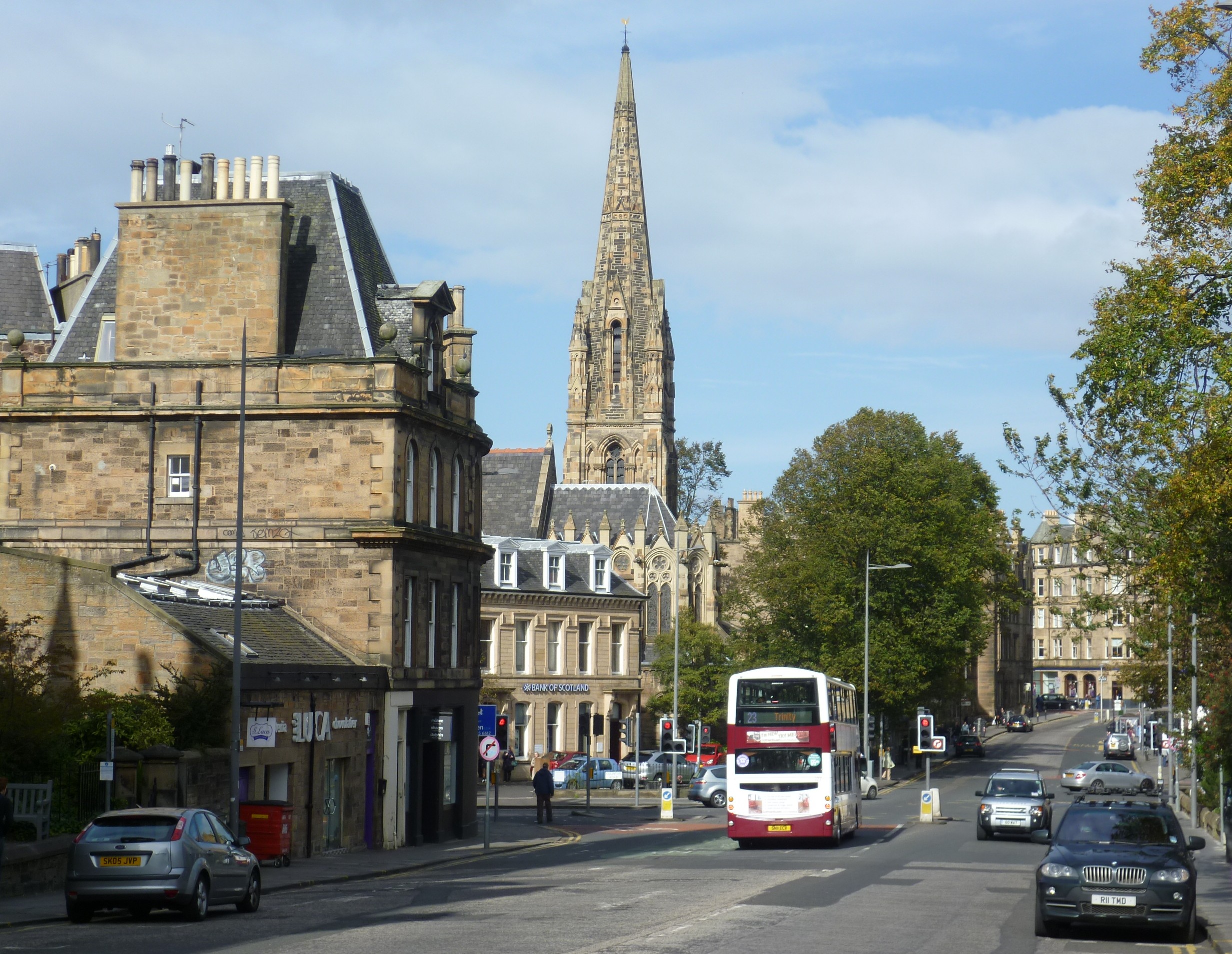
Burghmuirhead (sometimes anglicised as Boroughmuirhead) is an area of Edinburgh, Scotland. The area lies between Bruntsfield to the north and Morningside, Edinburgh, Morningside to the south. West is Merchiston and east is Greenhill, Edinburgh, Greenhill and then Grange, Edinburgh, The Grange. The area was once part of the lands of Greenhill. It takes its name from the Burgh Muir, an area of oak forest which stretched over much of today's south Edinburgh; all that now remains is the parkland of Bruntsfield Links. The anglicised form of the name was used for Boroughmuirhead Post Office which closed in 2010 (replaced by Bruntsfield Post Office in Bruntsfield Place), and also was the former name of the now Grangebank House, located down a lane to the west of Morningside Road. Today the names Holy Corner and Church Hill, Edinburgh, Church Hill are more commonly used to describe the respective northern and southern parts of Burghmuirhead. References * Smith, Charles J., ''Mornings ... [...More Info...] [...Related Items...] OR: [Wikipedia] [Google] [Baidu] |
Burgh Muir
The Burgh Muir is the historic term for an extensive area of land lying to the south of Edinburgh city centre, upon which much of the southern part of the city now stands following its gradual spread and more especially its rapid expansion in the late 18th and 19th centuries. The name has been retained today in the partly anglicised form ''Boroughmuir'' for a much smaller district within Bruntsfield, vaguely defined by the presence of Boroughmuir High School, and, until 2010, Boroughmuirhead post office in its north-west corner. In terms of today's street names, the historic muir ( ''Scots'' for 'moor') extended from Leven Street, Bruntsfield Place and Morningside Road in the west to Dalkeith Road in the east, and as far south as the Jordan Burn and east to Peffermill, thus covering an area of approximately five square miles. The names of the historic roads that bounded it were the "Easter Hiegait", corresponding to Dalkeith Road, and the "Wester Hiegait" corresponding to Brunt ... [...More Info...] [...Related Items...] OR: [Wikipedia] [Google] [Baidu] |

