|
Bead Hill
Bead Hill is an archaeological site comprising the only known remaining and intact 17th-century Seneca site in Canada. It is located on the banks of the Rouge River in Rouge Park, a city park in Toronto, Ontario. Because of its sensitive archaeological nature, it is not open to the public, nor readily identified in the park. It was designated a National Historic Site of Canada in 1991. Bead Hill site The Bead Hill site is believed to be one of seven villages established along the north shore of Lake Ontario by the Iroquois in the 1660s. The Bead Hill site was settled temporarily as part of a mid 17th century push by the Iroquois Confederacy north, from their traditional homeland in New York state. The Huron Wendat Confederacy, had once occupied the north shores of Lake Ontario but had moved north toward Georgian Bay and Lake Simcoe at the end of the 16th century. Following extensive excavation undertaken in the 1980s it was determined that the Bead Hill site could be the his ... [...More Info...] [...Related Items...] OR: [Wikipedia] [Google] [Baidu] |
Toronto
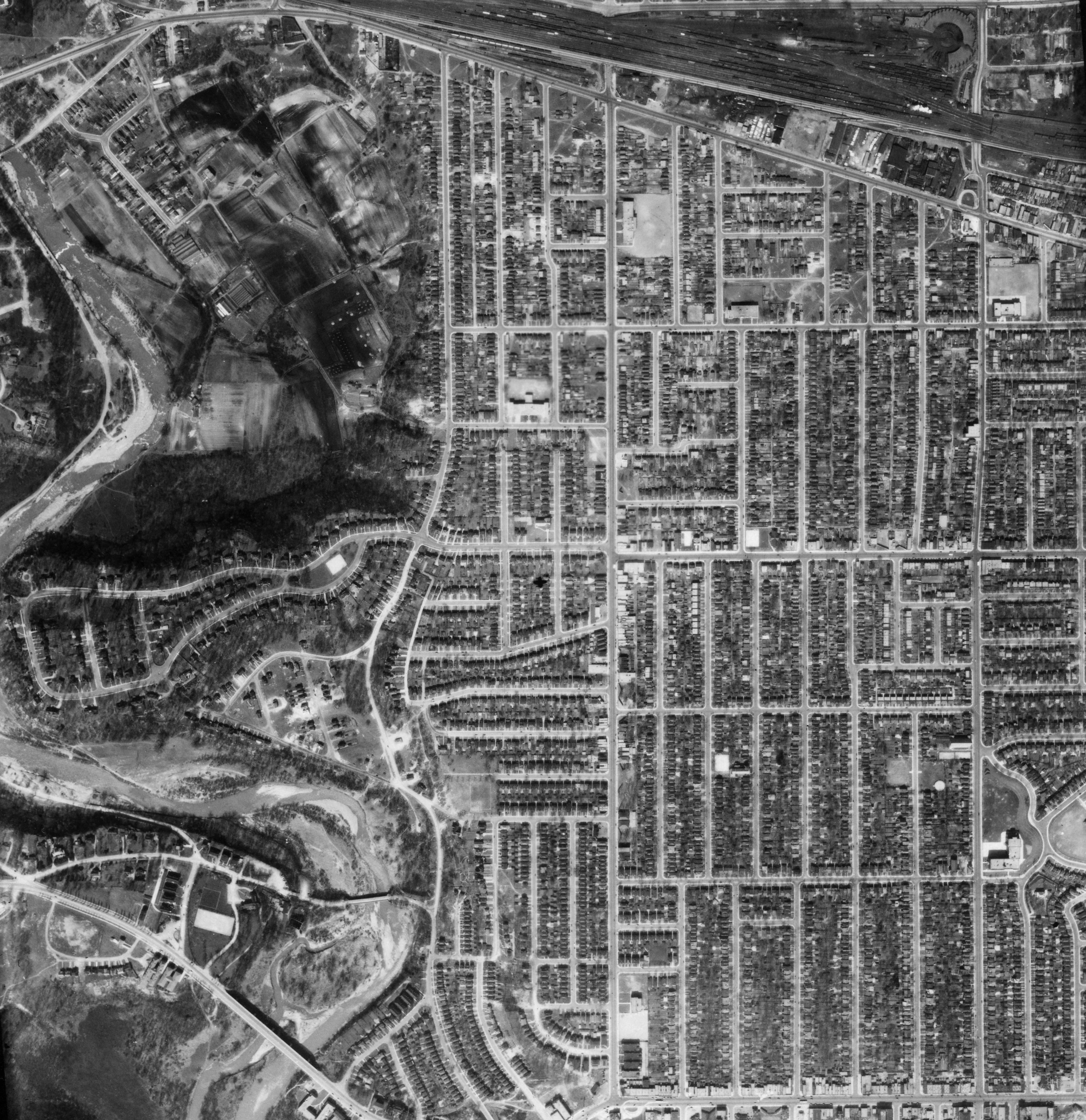
Toronto ( ; or ) is the capital city of the Provinces and territories of Canada, Canadian province of Ontario. With a recorded population of 2,794,356 in 2021, it is the List of the largest municipalities in Canada by population, most populous city in Canada and the List of North American cities by population, fourth most populous city in North America. The city is the anchor of the Golden Horseshoe, an urban agglomeration of 9,765,188 people (as of 2021) surrounding the western end of Lake Ontario, while the Greater Toronto Area proper had a 2021 population of 6,712,341. Toronto is an international centre of business, finance, arts, sports and culture, and is recognized as one of the most multiculturalism, multicultural and cosmopolitanism, cosmopolitan cities in the world. Indigenous peoples in Canada, Indigenous peoples have travelled through and inhabited the Toronto area, located on a broad sloping plateau interspersed with Toronto ravine system, rivers, deep ravines, ... [...More Info...] [...Related Items...] OR: [Wikipedia] [Google] [Baidu] |
Louis XIV Of France
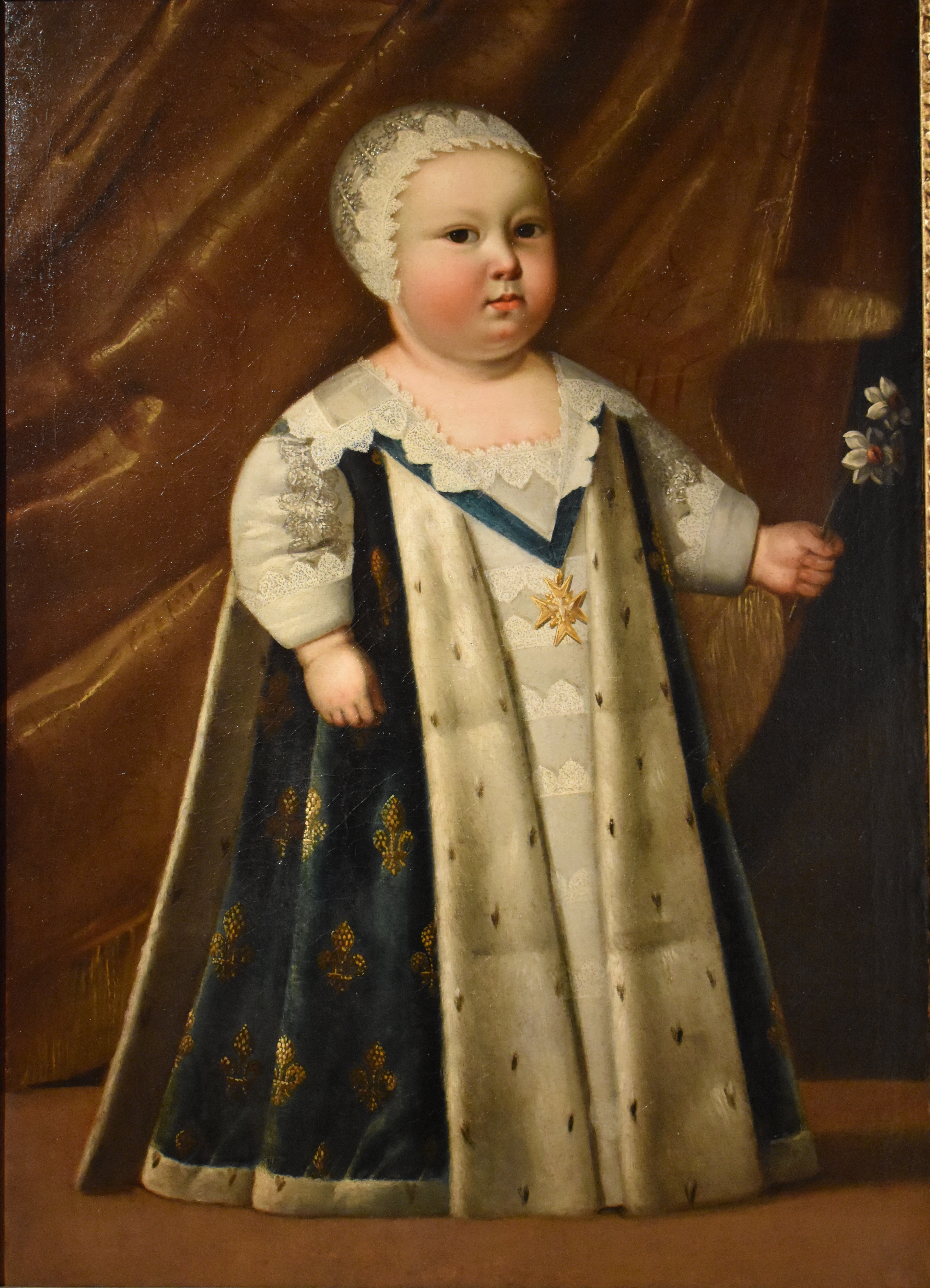
, house = Bourbon , father = Louis XIII , mother = Anne of Austria , birth_date = , birth_place = Château de Saint-Germain-en-Laye, Saint-Germain-en-Laye, France , death_date = , death_place = Palace of Versailles, Versailles, France , burial_date = 9 September 1715 , burial_place = Basilica of Saint-Denis , religion = Catholicism ( Gallican Rite) , signature = Louis XIV Signature.svg Louis XIV (Louis Dieudonné; 5 September 16381 September 1715), also known as Louis the Great () or the Sun King (), was King of France from 14 May 1643 until his death in 1715. His reign of 72 years and 110 days is the longest of any sovereign in history whose date is verifiable. Although Louis XIV's France was emblematic of the age of absolutism in Europe, the King surrounded himself with a variety of significant political, military, and cultural figures, such as Bossuet, Colbert, Le Brun, Le Nôtre, Lully, Mazarin, Molière, Racine, ... [...More Info...] [...Related Items...] OR: [Wikipedia] [Google] [Baidu] |
History Of Toronto
Toronto was founded as the Town of York and capital of Upper Canada in 1793 after the Mississaugas surrendered the land to the British in the Toronto Purchase. For over 12,000 years, Indigenous People have lived in the Toronto area. The ancestors of the Huron-Wendat were the first known groups to establish agricultural villages in the area about 1,600 years ago. In the 17th century, the Toronto Carrying-Place Trail along the Humber River became a strategic site for controlling the fur trade farther north. The Seneca people established a village of about 2,000 people known as Teiaiagon along the trail. The French set up trading posts in the area, including Fort Rouillé in 1751, which they abandoned as the British conquered French North America in the Seven Years' War. In the 1790s the British began to settle Toronto and built the garrison which became Fort York at the entrance to Toronto Harbour. The Americans attacked the village and garrison during the War of 1812. I ... [...More Info...] [...Related Items...] OR: [Wikipedia] [Google] [Baidu] |
Hamilton, Ontario
Hamilton is a port city in the Canadian province of Ontario. Hamilton has a population of 569,353, and its census metropolitan area, which includes Burlington and Grimsby, has a population of 785,184. The city is approximately southwest of Toronto in the Greater Toronto and Hamilton Area (GTHA). Conceived by George Hamilton when he purchased the Durand farm shortly after the War of 1812, the town of Hamilton became the centre of a densely populated and industrialized region at the west end of Lake Ontario known as the Golden Horseshoe. On January 1, 2001, the current boundaries of Hamilton were created through the amalgamation of the original city with other municipalities of the Regional Municipality of Hamilton–Wentworth. Residents of the city are known as Hamiltonians. Traditionally, the local economy has been led by the steel and heavy manufacturing industries. During the 2010s, a shift toward the service sector occurred, such as health and sciences. Hamilton is ... [...More Info...] [...Related Items...] OR: [Wikipedia] [Google] [Baidu] |
Tinawatawa
Tinawatawa, also called Quinaouatoua, was a former Iroquois village of the Seneca people on the western end of the Niagara corridor, described as "a fertile flat belt of land stretching from western New York to the head waters of the Thames River". It was located on the western end of Lake Ontario. Location There are a number of theories about where the village was located. One theory is that it was east or northeast of present-day Westover, Ontario, on the north side of Spencer Creek and in Beverly Swamp, which was a winter hunting grounds site. From archaeological studies of what was called the Christianson Site, it was occupied about 1615 to 1630 by Iroquois people. Other theories are that Tinawatawa was along Ancaster Creek in Ancaster, Ontario, between Dundas and Brantford. It may have been in current day West Flamborough on the Grand River along a high ground trail that is now Regional Road 97. Or, more probably, halfway to Brantford and the Grand River. History In the ... [...More Info...] [...Related Items...] OR: [Wikipedia] [Google] [Baidu] |
Baby Point
Baby Point is a residential neighbourhood in the York district of Toronto, Ontario, Canada. It is bounded on the west by the Humber River from south of Baby Point Crescent to St. Marks Road, east to Jane Street and Jane Street south to Raymond Avenue and Raymond Avenue west to the Humber. It is within the city-defined neighbourhood of 'Lambton-Baby Point.' Baby Point is within the proximity of Jane station. The neighbourhood was at one time an Iroquois village, called Teiaiagon. The village had a population of 5000 at its peak. The village was burnt to the ground in a French Army attack in 1687. In the 19th century, lawyer James Baby bought the land from the Upper Canada government, which had bought it as part of the Toronto Purchase. The land was developed into the current neighbourhood in the early 20th century. The name is pronounced by locals as "Bobby" or "Babby"to rhyme with tabby or cabbiein an approximation of how James Baby pronounced his surname. History The Baby Poi ... [...More Info...] [...Related Items...] OR: [Wikipedia] [Google] [Baidu] |
Humber River (Ontario)
The Humber River ( oj, Gabekanaang-ziibi, p=Gabekanaang-ziibi, ''meaning: "little thundering waters"'') is a river in Southern Ontario, Canada. It is in the Great Lakes Basin, is a tributary of Lake Ontario and is one of two major rivers on either side of the city of Toronto, the other being the Don River to the east. It was designated a Canadian Heritage River on September 24, 1999. The Humber collects from about 750 creeks and tributaries in a fan-shaped area north of Toronto that encompasses portions of Dufferin County, the Regional Municipality of Peel, Simcoe County, and the Regional Municipality of York. The main branch runs for about from the Niagara Escarpment in the northwest, while another major branch, known as the East Humber River, starts at Lake St. George in the Oak Ridges Moraine near Aurora to the northeast. They join north of Toronto and then flow in a generally southeasterly direction into Lake Ontario at what was once the far western portions of the city. Show ... [...More Info...] [...Related Items...] OR: [Wikipedia] [Google] [Baidu] |
Teiaiagon
Teiaiagon was an Iroquoian village on the east bank of the Humber River in what is now the York district of Toronto, Ontario, Canada. It was located along the Toronto Carrying-Place Trail. The site is near the current intersection of Jane Street and Annette Street, at which is situated the community of Baby Point. The name means "It crosses the stream." History Percy Robinson's ''Toronto During the French Regime'' shows Teiaiagon as being a jointly occupied village of Seneca and Mohawk. Helen Tanner's ''Atlas of Great Lakes Indian History'' describes Teiaiagon as a Seneca village around the years 1685-1687, although it existed before that time, and as a Mississauga village around 1696. Étienne Brûlé passed through Teiaiagon in 1615. The village was on an important route for the developing fur trade industry, and it was also "surrounded by horticultural fields". Williamson 2008: 51 It was said to be about "a day's journey from the Toronto Lake, our present Lake Simcoe". ... [...More Info...] [...Related Items...] OR: [Wikipedia] [Google] [Baidu] |
Port Hope, Ontario
Port Hope is a municipality in Southern Ontario, Canada, approximately east of Toronto and about west of Kingston. It is located at the mouth of the Ganaraska River on the north shore of Lake Ontario, in the west end of Northumberland County. The private Trinity College School opened here in 1868. History Cayuga people, one of the Six Nations of the Iroquois Confederacy, migrated to the Port Hope area from New York state in 1779. They had been forced from their homeland south of the Great Lakes after having been allies of the British during the American Revolution. Great Britain had ceded these lands, along with territory it occupied in the Thirteen Colonies east of the Mississippi River, after the United States won independence. In 1793, United Empire Loyalists from the northern colonies became the first permanent settlers of European heritage in Port Hope, as the Crown granted them land as compensation for being forced to leave the colonies (much of their property was confi ... [...More Info...] [...Related Items...] OR: [Wikipedia] [Google] [Baidu] |
Rice Lake (Ontario)
Rice Lake is a lake located in Northumberland and Peterborough counties in south-eastern Ontario. The lake is located south of the city of Peterborough, and the Kawartha Lakes and north of Cobourg. It is part of the Trent-Severn Waterway, which flows into the lake by the Otonabee and out via the Trent. The lake is long and 5 km wide. Its maximum depth is 10m, with a surface water level at 187 m above sea level, raised to its present height by the Hastings Dam, built in the 19th century as part of the Trent-Severn canal system. Natives called it ''Pemadashdakota'' or "lake of the burning plains". A drumlin field is located northwest of the lake, and the lake's islands are partially submerged drumlins. Rice Lake nearly bisects the Oak Ridges Moraine, with three wedges to the west (''Albion'', ''Uxbridge'' and ''Pontypool''), and one wedge to the east (''Rice Lake'') which has terminus at the Trent River. A narrow corridor to the south of Rice Lake connects these wedges ... [...More Info...] [...Related Items...] OR: [Wikipedia] [Google] [Baidu] |
Bay Of Quinte
The Bay of Quinte () is a long, narrow bay shaped like the letter "Z" on the northern shore of Lake Ontario in the province of Ontario, Canada. It is just west of the head of the Saint Lawrence River that drains the Great Lakes into the Gulf of Saint Lawrence. It is located about east of Toronto and west of Montreal. The name "Quinte" is derived from "''Kenté''" or Kentio, an Iroquoian village located near the south shore of the Bay. Later on, an early French Catholic mission was built at Kenté, located on the north shore of what is now Prince Edward County, leading to the Bay being named after the Mission. Officially, in the Mohawk language, the community is called "Kenhtè:ke", which means "the place of the bay". The Cayuga name is ''Tayęda:ne:gęˀ or Detgayę:da:negęˀ'', "land of two logs." The Bay, as it is known locally, provides some of the best trophy walleye angling in North America as well as most sport fish common to the great lakes. The bay is subject t ... [...More Info...] [...Related Items...] OR: [Wikipedia] [Google] [Baidu] |
Napanee
Greater Napanee is a town in southeastern Ontario, Canada, approximately west of Kingston and the county seat of Lennox and Addington County. It is located on the eastern end of the Bay of Quinte. Greater Napanee municipality was created by amalgamating the old Town of Napanee with the townships of Adolphustown, North and South Fredericksburgh, and Richmond in 1999. Greater Napanee is co-extensive with the original Lennox County. The town is home to the Allan Macpherson House, a historic 1826 property that is now a museum. Macpherson was a major in the Lennox militia, operated the town's grist and saw mills, as well as the distillery and general store. He served as post master and land agent, operated the first local printing press and helped fund the establishment of many local schools and churches. The home sits on the banks of the Napanee River, which runs through the town. The largest employer is a Goodyear Tire and Rubber Company passenger car tire plant (opened in 1988) ... [...More Info...] [...Related Items...] OR: [Wikipedia] [Google] [Baidu] |


.jpg)


